
| Memorials | : | 0 |
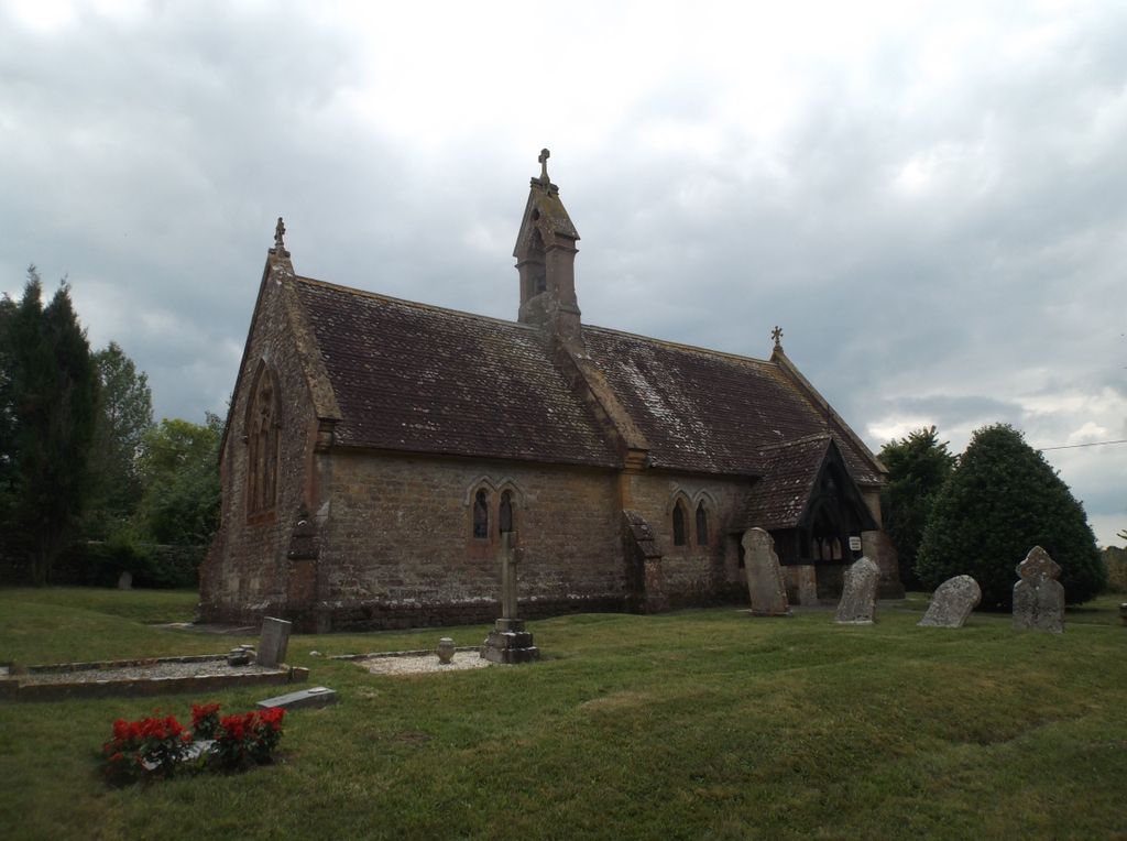
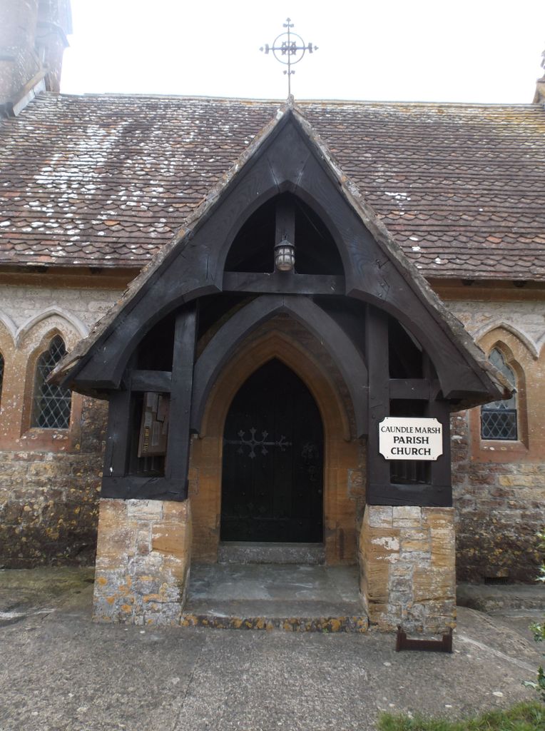
| Location | : | Caundle Marsh, West Dorset District, England |
| Coordinate | : | 50.9176840, -2.4596680 |
frequently asked questions (FAQ):
-
Where is St. Peter and St. Paul's Churchyard?
St. Peter and St. Paul's Churchyard is located at Caundle Marsh, West Dorset District ,Dorset ,England.
-
St. Peter and St. Paul's Churchyard cemetery's updated grave count on graveviews.com?
0 memorials
-
Where are the coordinates of the St. Peter and St. Paul's Churchyard?
Latitude: 50.9176840
Longitude: -2.4596680
Nearby Cemetories:
1. Bishop's Caundle Extension Cemetery
Bishops Caundle, West Dorset District, England
Coordinate: 50.9169370, -2.4343580
2. St Lawrence Churchyard
Folke, West Dorset District, England
Coordinate: 50.9179430, -2.4854020
3. Bishops Caundle
Bishops Caundle, West Dorset District, England
Coordinate: 50.9171310, -2.4336400
4. St. Mary Magdalene Churchyard
North Wootton, West Dorset District, England
Coordinate: 50.9281260, -2.4895320
5. Saint Laurence Churchyard
Holwell, West Dorset District, England
Coordinate: 50.9063460, -2.4288180
6. St. Catherine's Churchyard
Haydon, West Dorset District, England
Coordinate: 50.9404290, -2.4702910
7. St. James The Great Churchyard
Longburton, West Dorset District, England
Coordinate: 50.9130390, -2.5010040
8. Long Burton Methodist Churchyard
Longburton, West Dorset District, England
Coordinate: 50.9074120, -2.4988250
9. St. Peter's Churchyard
Goathill, West Dorset District, England
Coordinate: 50.9534230, -2.4628960
10. Holnest Churchyard
Holnest, West Dorset District, England
Coordinate: 50.8870090, -2.4895200
11. St. Peter's Churchyard
Stourton Caundle, North Dorset District, England
Coordinate: 50.9354210, -2.4080470
12. Stourton Caundle Civic Cemetery
Stourton Caundle, North Dorset District, England
Coordinate: 50.9349030, -2.4065510
13. St Barnabas Church
Stock Gaylard, North Dorset District, England
Coordinate: 50.9148900, -2.3968200
14. Saint Barnabas Churchyard
Lydlinch, North Dorset District, England
Coordinate: 50.9157030, -2.3961520
15. Purse Caundle Civic Cemetery
Purse Caundle, West Dorset District, England
Coordinate: 50.9553680, -2.4327770
16. St. Peter's Churchyard
Purse Caundle, West Dorset District, England
Coordinate: 50.9569440, -2.4342330
17. St Mary Magdalene Churchyard
Castleton, West Dorset District, England
Coordinate: 50.9496210, -2.5050130
18. St. Martin’s Churchyard
Lilington, West Dorset District, England
Coordinate: 50.9126140, -2.5283700
19. Union Chapel
Sherborne, West Dorset District, England
Coordinate: 50.9475310, -2.5136220
20. St. Mary's Churchyard
Glanvilles Wootton, North Dorset District, England
Coordinate: 50.8717800, -2.4558510
21. Sherborne Abbey
Sherborne, West Dorset District, England
Coordinate: 50.9466680, -2.5166680
22. St. Cuthbert's Old Church
Oborne, West Dorset District, England
Coordinate: 50.9588620, -2.4947350
23. Milborne Port Churchyard
Milborne Port, South Somerset District, England
Coordinate: 50.9653900, -2.4621550
24. Milborne Port Cemetery
Milborne Port, South Somerset District, England
Coordinate: 50.9662940, -2.4605880