
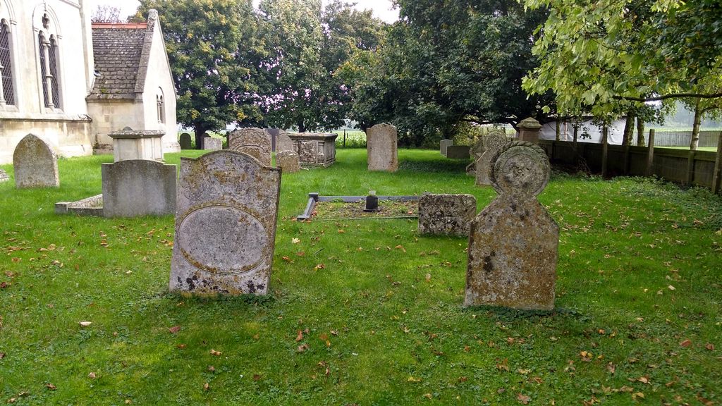
| Memorials | : | 2 |
| Location | : | Wilsthorpe, South Kesteven District, England |
| Coordinate | : | 52.7095208, -0.3848166 |
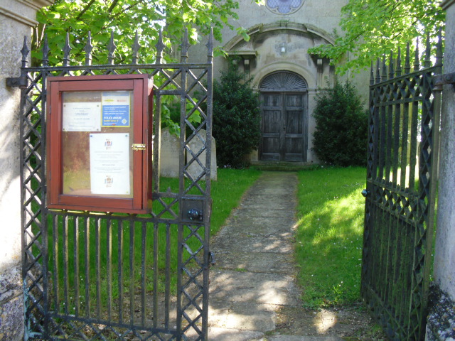
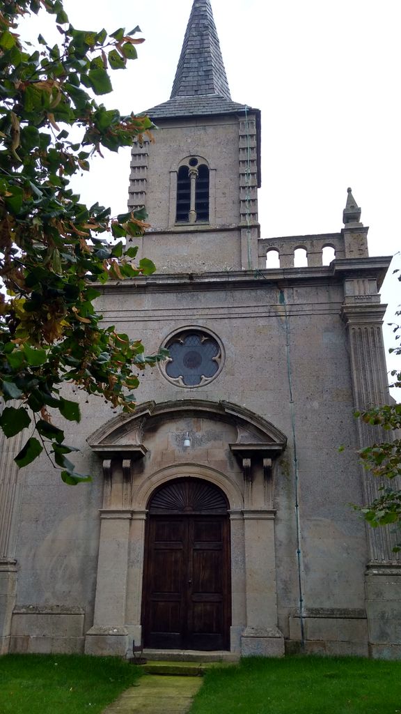
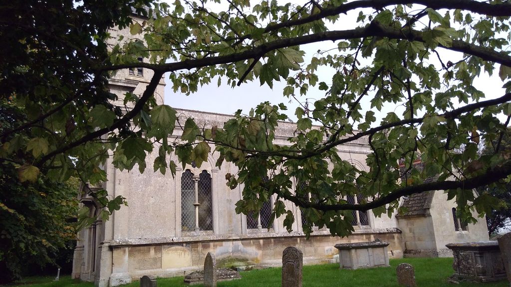
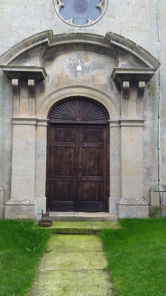
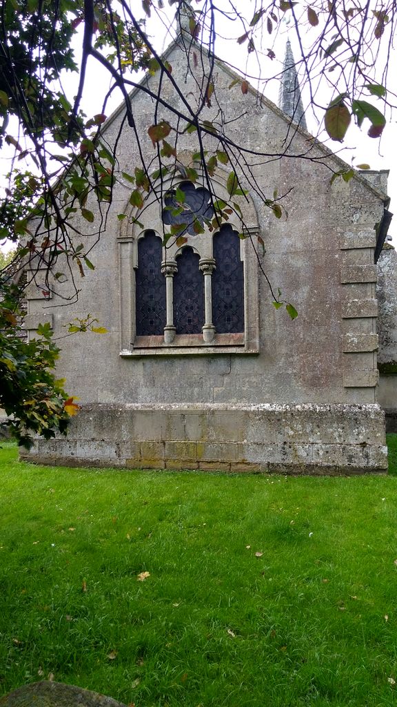
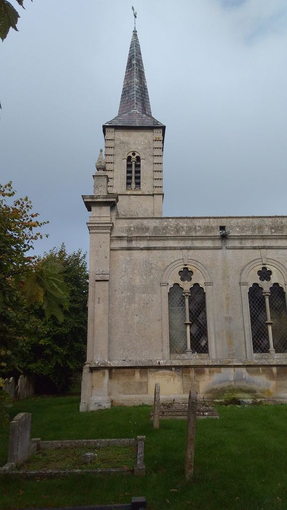
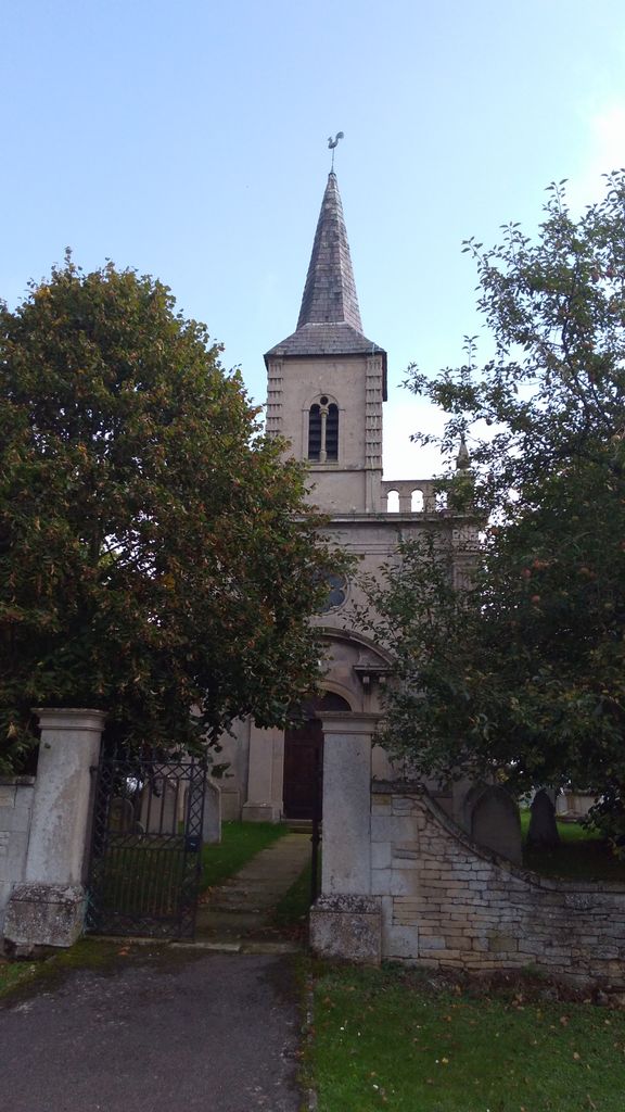
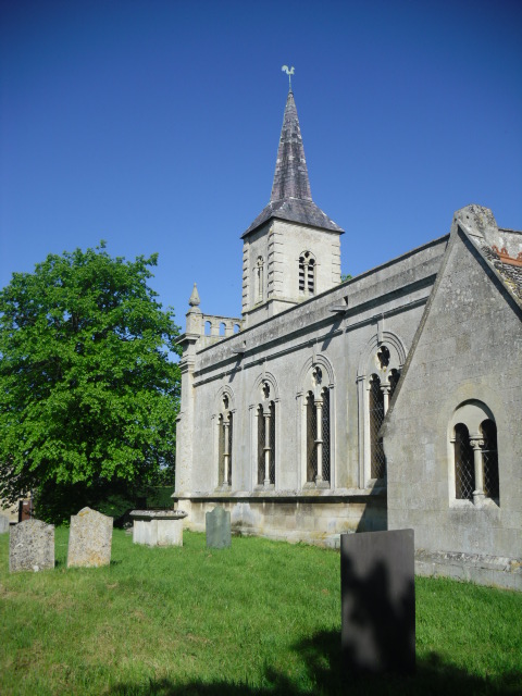
| Description | : | One of the smallest and most interesting churches in South Lincolnshire is St Faith's at Wilsthorpe. Unlike other Anglican churches in this part of the county, it was built as recently as the 18th century after an earlier one on this site was pulled down in 1715. It was originally a perfect example of an early Georgian church but in 1863, the building was altered by the diocesan architect James Fowler (1828-92), a man of high Victorian values who tried to remodel the building in the English mediaeval style but his work was not well received. The result is a... Read More |
frequently asked questions (FAQ):
-
Where is St Faith Churchyard?
St Faith Churchyard is located at Wilsthorpe, South Kesteven District ,Lincolnshire ,England.
-
St Faith Churchyard cemetery's updated grave count on graveviews.com?
2 memorials
-
Where are the coordinates of the St Faith Churchyard?
Latitude: 52.7095208
Longitude: -0.3848166
Nearby Cemetories:
1. Baston Cemetery
Baston, South Kesteven District, England
Coordinate: 52.7149917, -0.3531338
2. St John the Baptist Churchyard
Baston, South Kesteven District, England
Coordinate: 52.7149530, -0.3530650
3. St Martin Churchyard
Barholm, South Kesteven District, England
Coordinate: 52.6855000, -0.3887600
4. St Michael and All Angels Churchyard
Langtoft, South Kesteven District, England
Coordinate: 52.6990300, -0.3389800
5. St Firmin Churchyard
Thurlby, South Kesteven District, England
Coordinate: 52.7375960, -0.3646650
6. Saint Stephen
Carlby, South Kesteven District, England
Coordinate: 52.7125650, -0.4475800
7. St Mary Magdalene Churchyard
Essendine, Rutland Unitary Authority, England
Coordinate: 52.7026000, -0.4489000
8. St. Andrews Churchyard
Witham on the Hill, South Kesteven District, England
Coordinate: 52.7364500, -0.4420300
9. St. Andrew's Churchyard
West Deeping, South Kesteven District, England
Coordinate: 52.6640285, -0.3614634
10. St Medard and St Gildard Churchyard
Little Bytham, South Kesteven District, England
Coordinate: 52.6786110, -0.3200000
11. Bourne Cemetery
Bourne, South Kesteven District, England
Coordinate: 52.7607264, -0.3714663
12. St. Lawrence's Churchyard
Tallington, South Kesteven District, England
Coordinate: 52.6574520, -0.3879120
13. Ryhall Churchyard Extension
Ryhall, Rutland Unitary Authority, England
Coordinate: 52.6849000, -0.4678700
14. St John the Evangelist Churchyard
Ryhall, Rutland Unitary Authority, England
Coordinate: 52.6852000, -0.4685000
15. Bourne Abbey
Bourne, South Kesteven District, England
Coordinate: 52.7661320, -0.3758389
16. St. Peter's Churchyard
Maxey, Peterborough Unitary Authority, England
Coordinate: 52.6575500, -0.3455940
17. St Michael & All Angels Churchyard
Uffington, South Kesteven District, England
Coordinate: 52.6570400, -0.4321700
18. St Stephen Churchyard
Careby, South Kesteven District, England
Coordinate: 52.7363500, -0.4823700
19. Newstead Priory
Stamford, South Kesteven District, England
Coordinate: 52.6582800, -0.4542480
20. St Mary's Churchyard
Bainton, Peterborough Unitary Authority, England
Coordinate: 52.6411500, -0.3838900
21. St. James Cemetery
Deeping St James, South Kesteven District, England
Coordinate: 52.6716340, -0.2899500
22. St. James Churchyard
Deeping St James, South Kesteven District, England
Coordinate: 52.6716980, -0.2896360
23. St. Andrew's Churchyard
Northborough, Peterborough Unitary Authority, England
Coordinate: 52.6571000, -0.2974630
24. All Saints Churchyard
Little Casterton, Rutland Unitary Authority, England
Coordinate: 52.6775807, -0.4965072