
| Memorials | : | 7 |
| Location | : | Careby, South Kesteven District, England |
| Coordinate | : | 52.7363500, -0.4823700 |
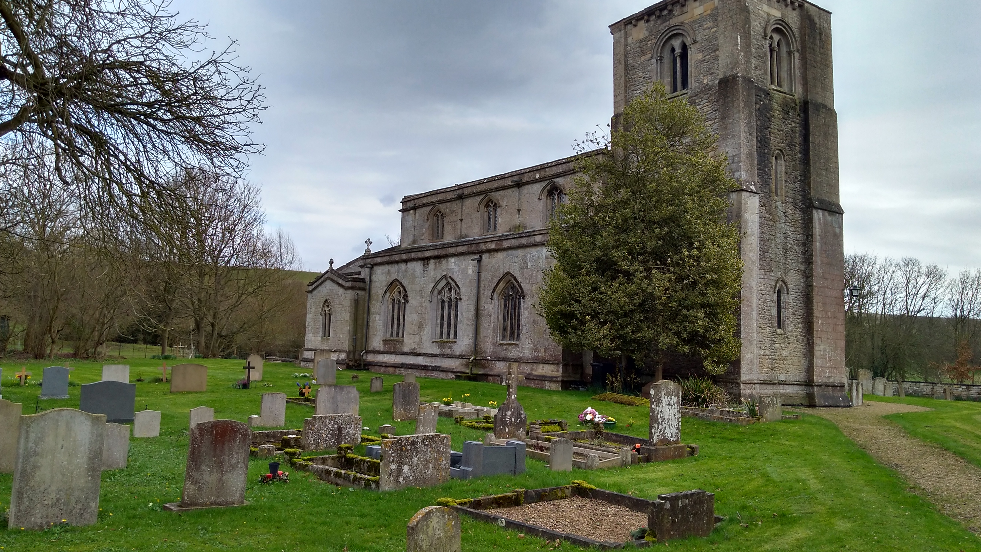
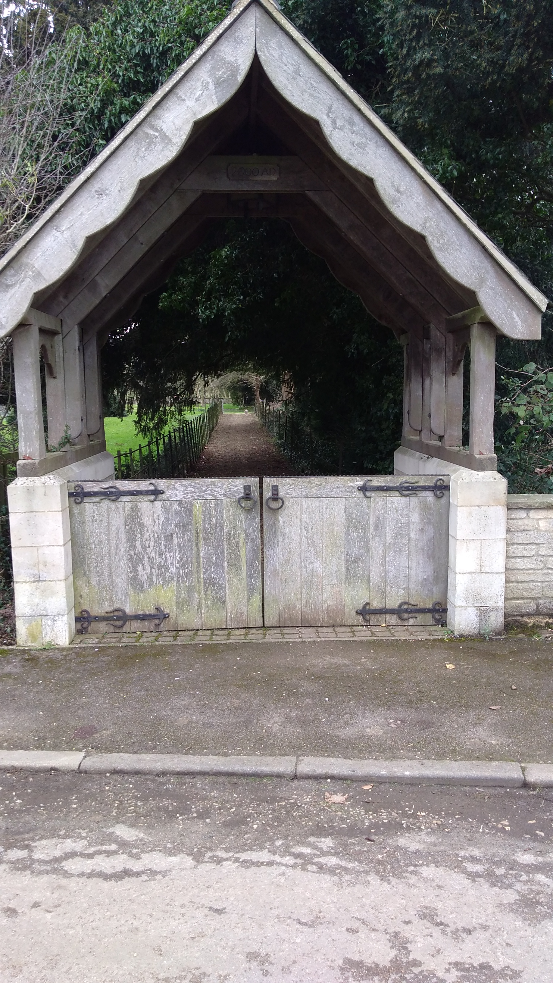
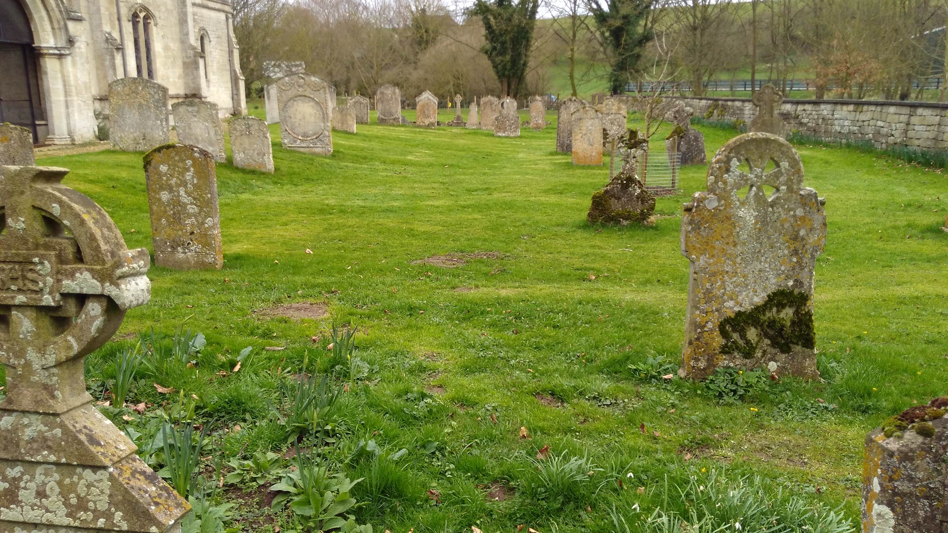
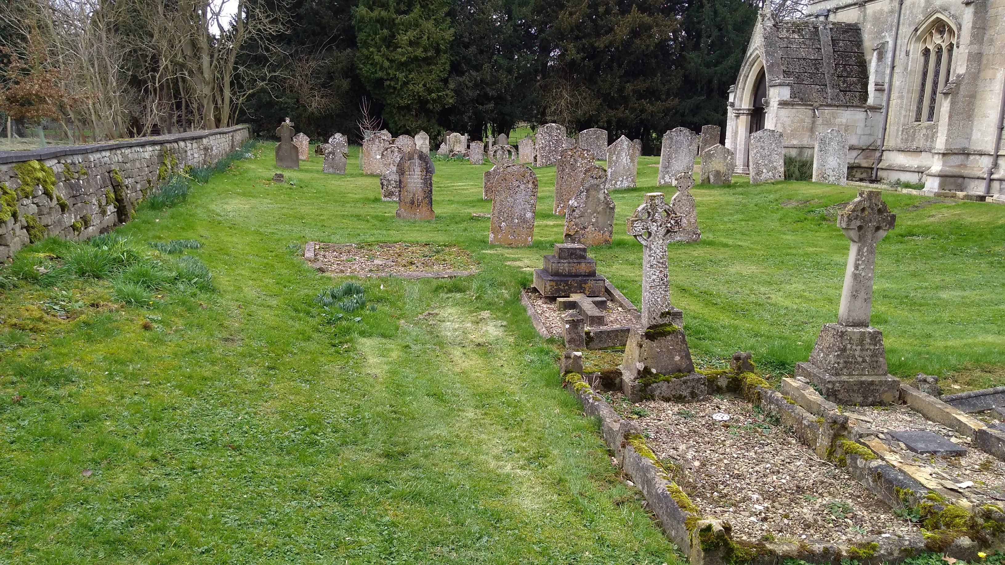
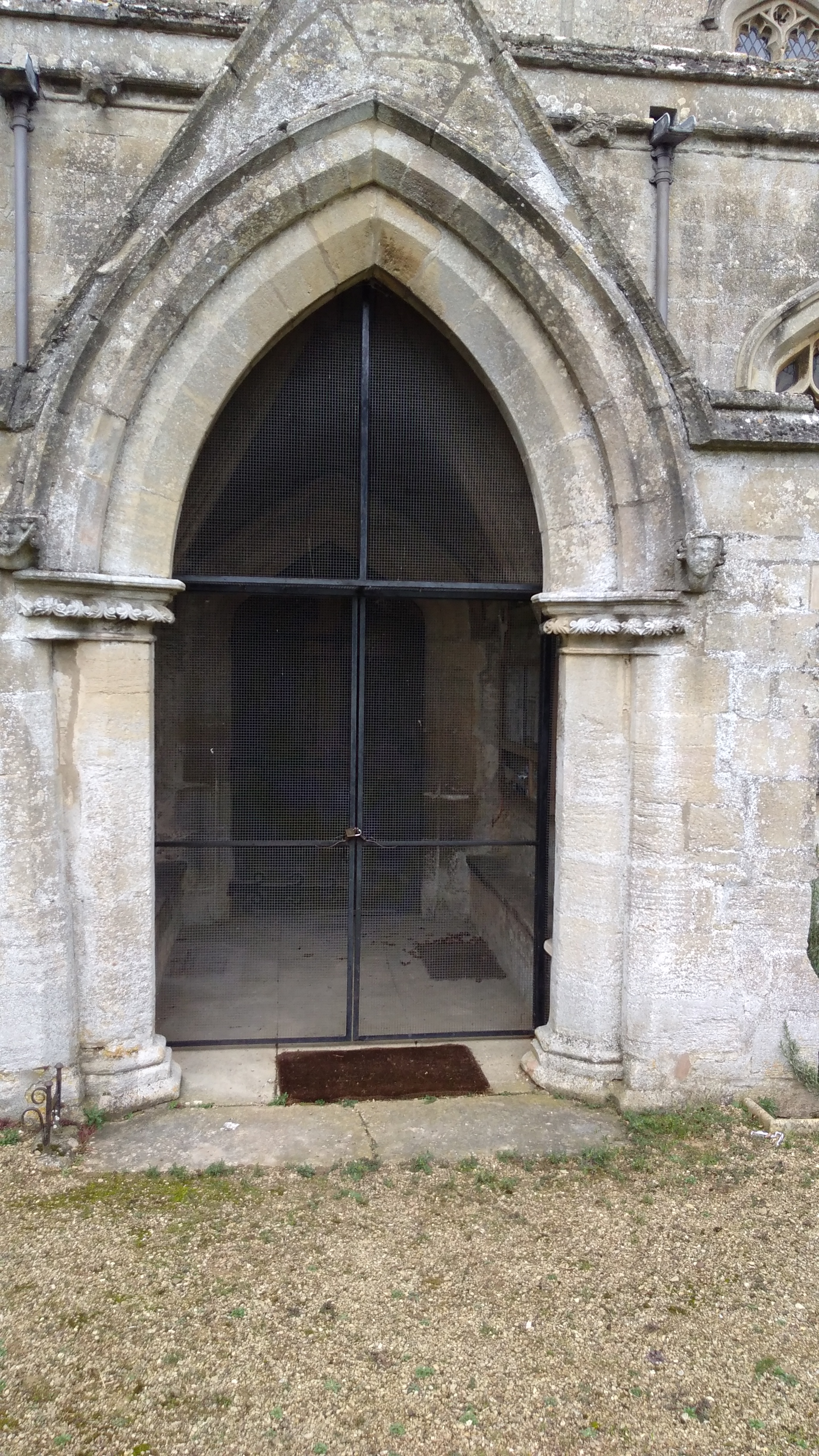
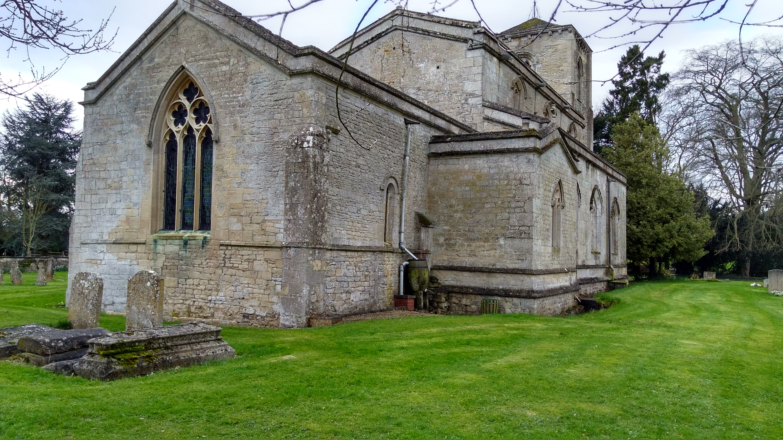
| Description | : | Stephen's Church is at the far end of the village, a secluded building but it is well worth finding. It has a stone staircase built into the thickness of the walls of the tower that dates from the early 13th century and has a low pyramid roof that gives the structure a French appearance. The chancel is Norman and there is a massive 14th century inner door with an iron knocker in the shape of two lizards whispering into St Stephen's ear. The monuments include a stone figure of a 14th century lord of the manor in chain mail with angels... Read More |
frequently asked questions (FAQ):
-
Where is St Stephen Churchyard?
St Stephen Churchyard is located at Careby, South Kesteven District ,Lincolnshire ,England.
-
St Stephen Churchyard cemetery's updated grave count on graveviews.com?
7 memorials
-
Where are the coordinates of the St Stephen Churchyard?
Latitude: 52.7363500
Longitude: -0.4823700
Nearby Cemetories:
1. St Wilfrid
Holywell, South Kesteven District, England
Coordinate: 52.7329915, -0.5149881
2. St. Andrews Churchyard
Witham on the Hill, South Kesteven District, England
Coordinate: 52.7364500, -0.4420300
3. Saint Stephen
Carlby, South Kesteven District, England
Coordinate: 52.7125650, -0.4475800
4. St Peter Churchyard
Creeton, South Kesteven District, England
Coordinate: 52.7669500, -0.4977300
5. St James Churchyard
Castle Bytham, South Kesteven District, England
Coordinate: 52.7537140, -0.5367360
6. St Mary Magdalene Churchyard
Essendine, Rutland Unitary Authority, England
Coordinate: 52.7026000, -0.4489000
7. St John the Evangelist Churchyard
Ryhall, Rutland Unitary Authority, England
Coordinate: 52.6852000, -0.4685000
8. Ryhall Churchyard Extension
Ryhall, Rutland Unitary Authority, England
Coordinate: 52.6849000, -0.4678700
9. St Mary Churchyard
Swinstead, South Kesteven District, England
Coordinate: 52.7900380, -0.4909380
10. St Michael Churchyard
Edenham, South Kesteven District, England
Coordinate: 52.7836110, -0.4266560
11. All Saints Churchyard
Little Casterton, Rutland Unitary Authority, England
Coordinate: 52.6775807, -0.4965072
12. St Nicholas Churchyard
Swayfield, South Kesteven District, England
Coordinate: 52.7922400, -0.5284400
13. St Faith Churchyard
Wilsthorpe, South Kesteven District, England
Coordinate: 52.7095208, -0.3848166
14. St Peter's Churchyard
Tickencote, Rutland Unitary Authority, England
Coordinate: 52.6741278, -0.5365826
15. Bourne Abbey
Bourne, South Kesteven District, England
Coordinate: 52.7661320, -0.3758389
16. St Firmin Churchyard
Thurlby, South Kesteven District, England
Coordinate: 52.7375960, -0.3646650
17. Bourne Cemetery
Bourne, South Kesteven District, England
Coordinate: 52.7607264, -0.3714663
18. St Peter & St Paul Churchyard
Great Casterton, Rutland Unitary Authority, England
Coordinate: 52.6676700, -0.5203600
19. St Martin Churchyard
Barholm, South Kesteven District, England
Coordinate: 52.6855000, -0.3887600
20. St John the Evangelist Churchyard
Corby Glen, South Kesteven District, England
Coordinate: 52.8132500, -0.5157630
21. Newstead Priory
Stamford, South Kesteven District, England
Coordinate: 52.6582800, -0.4542480
22. Stamford Cemetery
Stamford, South Kesteven District, England
Coordinate: 52.6564300, -0.4905600
23. Baston Cemetery
Baston, South Kesteven District, England
Coordinate: 52.7149917, -0.3531338
24. St John the Baptist Churchyard
Baston, South Kesteven District, England
Coordinate: 52.7149530, -0.3530650