
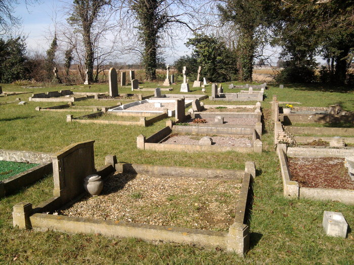
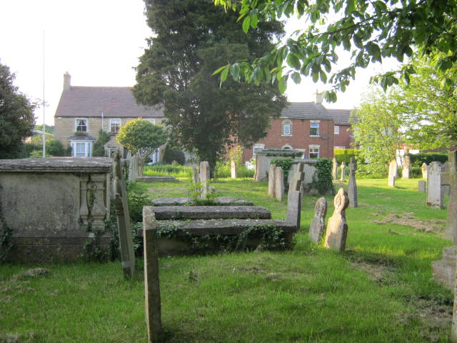
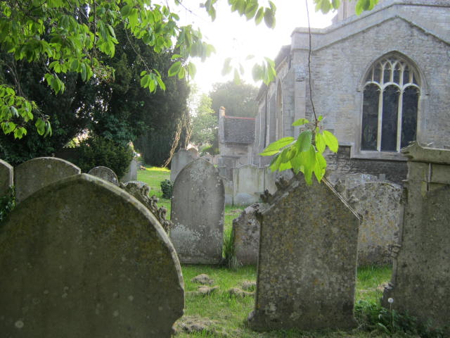
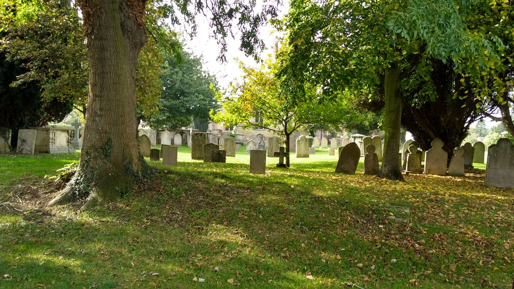
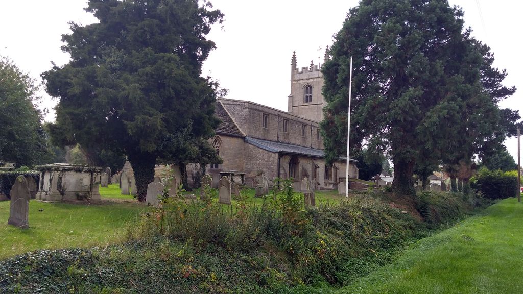
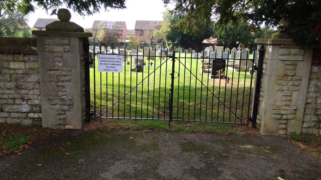
| Memorials | : | 53 |
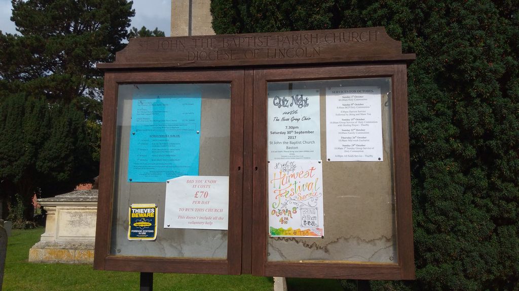
| Location | : | Baston, South Kesteven District, England |
| Coordinate | : | 52.7149530, -0.3530650 |
frequently asked questions (FAQ):
-
Where is St John the Baptist Churchyard?
St John the Baptist Churchyard is located at Baston, South Kesteven District ,Lincolnshire ,England.
-
St John the Baptist Churchyard cemetery's updated grave count on graveviews.com?
53 memorials
-
Where are the coordinates of the St John the Baptist Churchyard?
Latitude: 52.7149530
Longitude: -0.3530650
Nearby Cemetories:
1. Baston Cemetery
Baston, South Kesteven District, England
Coordinate: 52.7149917, -0.3531338
2. St Michael and All Angels Churchyard
Langtoft, South Kesteven District, England
Coordinate: 52.6990300, -0.3389800
3. St Faith Churchyard
Wilsthorpe, South Kesteven District, England
Coordinate: 52.7095208, -0.3848166
4. St Firmin Churchyard
Thurlby, South Kesteven District, England
Coordinate: 52.7375960, -0.3646650
5. St Martin Churchyard
Barholm, South Kesteven District, England
Coordinate: 52.6855000, -0.3887600
6. St Medard and St Gildard Churchyard
Little Bytham, South Kesteven District, England
Coordinate: 52.6786110, -0.3200000
7. Bourne Cemetery
Bourne, South Kesteven District, England
Coordinate: 52.7607264, -0.3714663
8. St. Andrew's Churchyard
West Deeping, South Kesteven District, England
Coordinate: 52.6640285, -0.3614634
9. Bourne Abbey
Bourne, South Kesteven District, England
Coordinate: 52.7661320, -0.3758389
10. Saint Stephen
Carlby, South Kesteven District, England
Coordinate: 52.7125650, -0.4475800
11. St. Peter's Churchyard
Maxey, Peterborough Unitary Authority, England
Coordinate: 52.6575500, -0.3455940
12. St. James Cemetery
Deeping St James, South Kesteven District, England
Coordinate: 52.6716340, -0.2899500
13. St. James Churchyard
Deeping St James, South Kesteven District, England
Coordinate: 52.6716980, -0.2896360
14. St. Andrews Churchyard
Witham on the Hill, South Kesteven District, England
Coordinate: 52.7364500, -0.4420300
15. St Mary Magdalene Churchyard
Essendine, Rutland Unitary Authority, England
Coordinate: 52.7026000, -0.4489000
16. St. Lawrence's Churchyard
Tallington, South Kesteven District, England
Coordinate: 52.6574520, -0.3879120
17. St. Andrew's Churchyard
Northborough, Peterborough Unitary Authority, England
Coordinate: 52.6571000, -0.2974630
18. St Michael & All Angels Churchyard
Uffington, South Kesteven District, England
Coordinate: 52.6570400, -0.4321700
19. Ryhall Churchyard Extension
Ryhall, Rutland Unitary Authority, England
Coordinate: 52.6849000, -0.4678700
20. St John the Evangelist Churchyard
Ryhall, Rutland Unitary Authority, England
Coordinate: 52.6852000, -0.4685000
21. St Mary's Churchyard
Bainton, Peterborough Unitary Authority, England
Coordinate: 52.6411500, -0.3838900
22. Helpston Cemetery
Helpston, Peterborough Unitary Authority, England
Coordinate: 52.6374890, -0.3433900
23. St. Botolph Helpston Churchyard
Helpston, Peterborough Unitary Authority, England
Coordinate: 52.6359090, -0.3435870
24. St Stephen Churchyard
Careby, South Kesteven District, England
Coordinate: 52.7363500, -0.4823700