
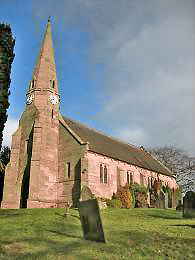
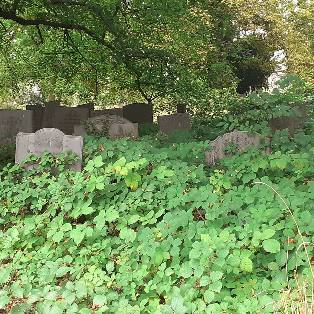
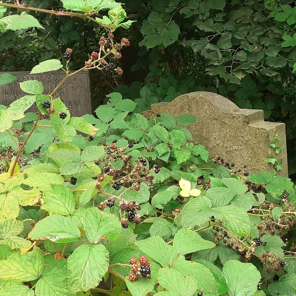
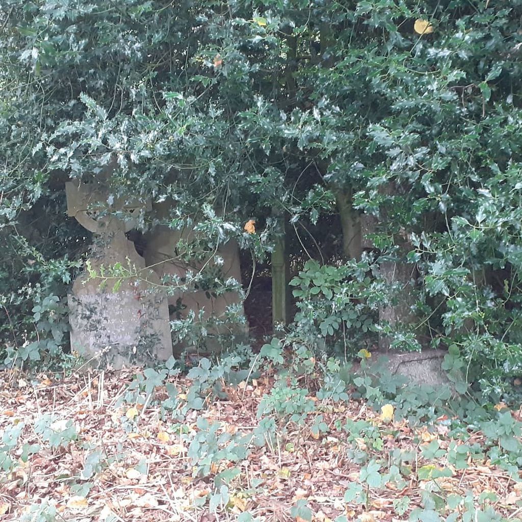
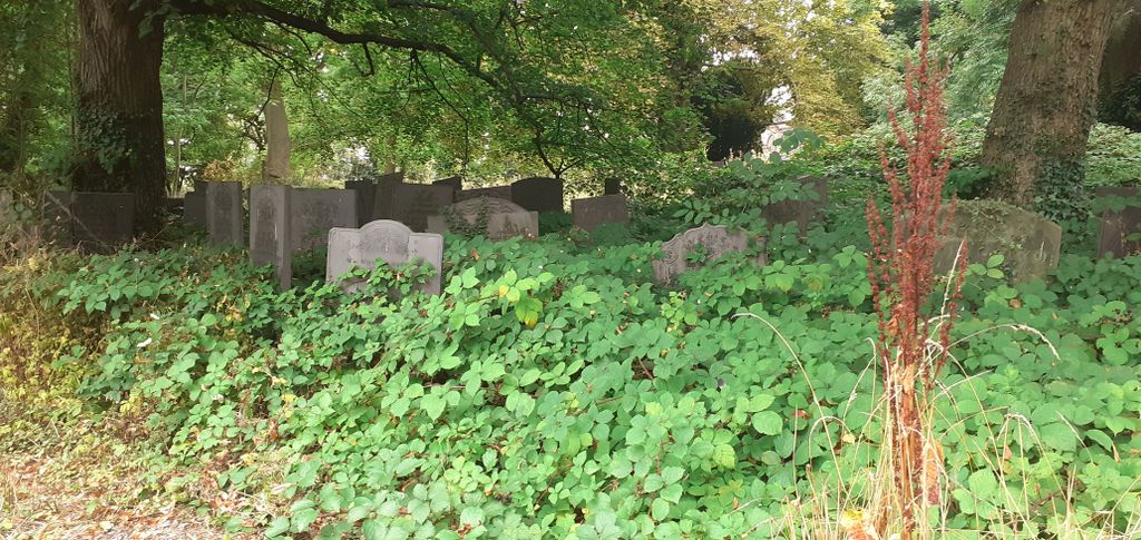
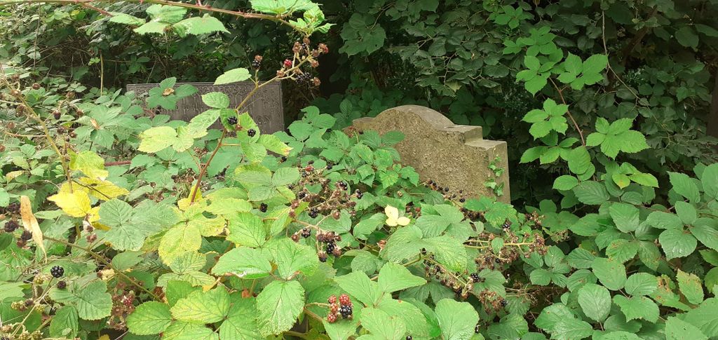
| Memorials | : | 45 |
| Location | : | Lichfield, Lichfield District, England |
| Coordinate | : | 52.6834590, -1.8182370 |
| Description | : | On the high ground of Greenhill in the east of the City |
frequently asked questions (FAQ):
-
Where is St Michael's Churchyard?
St Michael's Churchyard is located at Church Street Lichfield, Lichfield District ,Staffordshire ,England.
-
St Michael's Churchyard cemetery's updated grave count on graveviews.com?
44 memorials
-
Where are the coordinates of the St Michael's Churchyard?
Latitude: 52.6834590
Longitude: -1.8182370
Nearby Cemetories:
1. Grey Friars Churchyard
Lichfield, Lichfield District, England
Coordinate: 52.6829030, -1.8282720
2. St Chad Churchyard
Lichfield, Lichfield District, England
Coordinate: 52.6895810, -1.8209640
3. Lichfield Cathedral
Lichfield, Lichfield District, England
Coordinate: 52.6855650, -1.8304500
4. Christ Church Churchyard
Lichfield, Lichfield District, England
Coordinate: 52.6812150, -1.8405800
5. Stychbrook Cemetery
Lichfield District, England
Coordinate: 52.6998096, -1.8347392
6. St. Giles' Churchyard
Whittington, Lichfield District, England
Coordinate: 52.6723850, -1.7677160
7. St. John's Churchyard
Wall, Lichfield District, England
Coordinate: 52.6575100, -1.8553200
8. St Matthew's Hospital Burial Ground
Burntwood, Lichfield District, England
Coordinate: 52.6804500, -1.8937800
9. Saint Stephen Churchyard
Fradley, Lichfield District, England
Coordinate: 52.7183456, -1.7686180
10. Christchurch Cemetery
Burntwood, Lichfield District, England
Coordinate: 52.6787639, -1.8969201
11. St Mary the Virgin New Churchyard
Weeford, Lichfield District, England
Coordinate: 52.6330806, -1.7923083
12. St. Mary the Virgin Churchyard
Weeford, Lichfield District, England
Coordinate: 52.6322300, -1.7923200
13. St Peter's Churchyard
Elford, Lichfield District, England
Coordinate: 52.6928330, -1.7274120
14. St. James the Great Churchyard
Longdon, Lichfield District, England
Coordinate: 52.7250710, -1.8800360
15. St Chad's
Tamworth Borough, England
Coordinate: 52.6433000, -1.7418000
16. All Saints Churchyard
Alrewas, Lichfield District, England
Coordinate: 52.7347941, -1.7530332
17. Hopwas Cemetery
Tamworth, Tamworth Borough, England
Coordinate: 52.6417200, -1.7362600
18. St Bartholomew Churchyard
Hints, Lichfield District, England
Coordinate: 52.6237460, -1.7683840
19. National Memorial Arboretum
Alrewas, Lichfield District, England
Coordinate: 52.7274040, -1.7324890
20. Christ Church Gentleshaw
Rugeley, Cannock Chase District, England
Coordinate: 52.7050151, -1.9264458
21. Chase and District Memorial Park
Burntwood, Lichfield District, England
Coordinate: 52.6817140, -1.9339150
22. St John's Church Cemetery
Burntwood, Lichfield District, England
Coordinate: 52.6901000, -1.9349300
23. St Peter's Churchyard
Stonnall, Lichfield District, England
Coordinate: 52.6266750, -1.8923110
24. St. Anne Churchyard Chasetown
Burntwood, Lichfield District, England
Coordinate: 52.6693850, -1.9381720