
| Memorials | : | 47 |
| Location | : | Escrick, Selby District, England |
| Coordinate | : | 53.8805200, -1.0460990 |
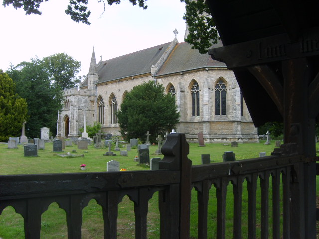
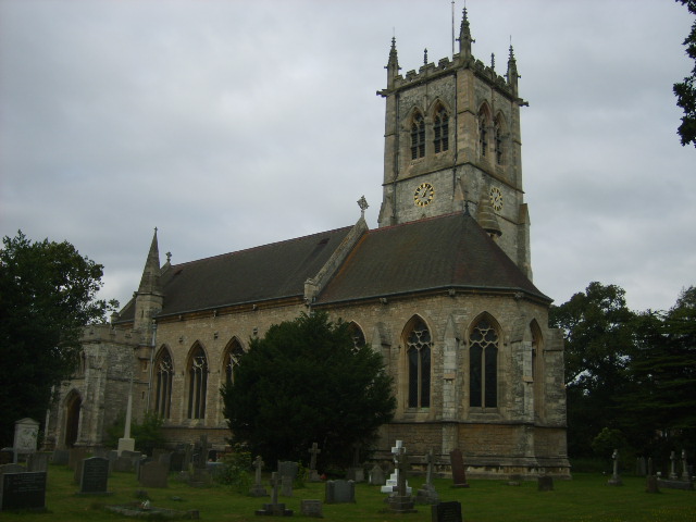
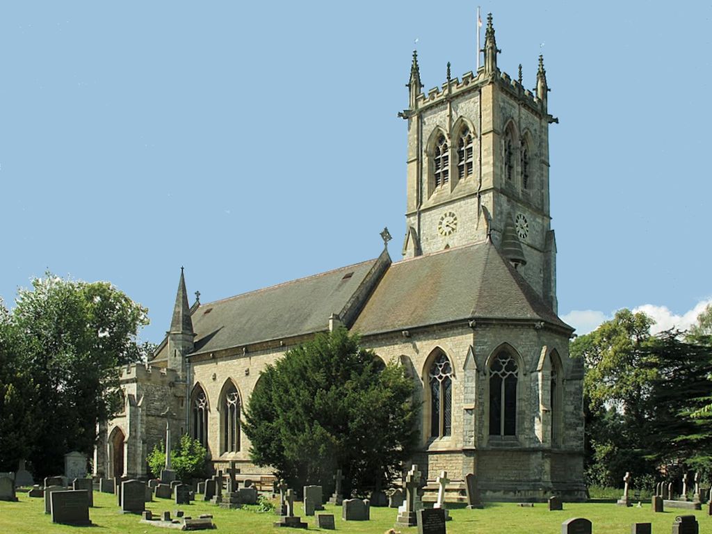
| Description | : | St Helen's Churchyard, Escrick |
frequently asked questions (FAQ):
-
Where is St. Helen's Churchyard?
St. Helen's Churchyard is located at Escrick, Selby District ,North Yorkshire ,England.
-
St. Helen's Churchyard cemetery's updated grave count on graveviews.com?
46 memorials
-
Where are the coordinates of the St. Helen's Churchyard?
Latitude: 53.8805200
Longitude: -1.0460990
Nearby Cemetories:
1. St Matthew Churchyard
Naburn, York Unitary Authority, England
Coordinate: 53.9009520, -1.0899200
2. St Helen Churchyard
Stillingfleet, Selby District, England
Coordinate: 53.8618710, -1.0994760
3. Holy Trinity Churchyard
Acaster Malbis, York Unitary Authority, England
Coordinate: 53.9052480, -1.0975170
4. St. Mary's Churchyard
Riccall, Selby District, England
Coordinate: 53.8330620, -1.0601630
5. St. Helen's Churchyard
Skipwith, Selby District, England
Coordinate: 53.8386300, -1.0022900
6. St. Andrew's Old Churchyard
Bishopthorpe, York Unitary Authority, England
Coordinate: 53.9221490, -1.0929640
7. Fulford Cemetery
Fulford, York Unitary Authority, England
Coordinate: 53.9304450, -1.0683670
8. St Helen Churchyard
Wheldrake, York Unitary Authority, England
Coordinate: 53.8965340, -0.9626520
9. St Andrew Churchyard
Bishopthorpe, York Unitary Authority, England
Coordinate: 53.9236690, -1.0955320
10. St John Churchyard
Acaster Selby, Selby District, England
Coordinate: 53.8614750, -1.1283740
11. York Crematorium
York, York Unitary Authority, England
Coordinate: 53.9264970, -1.0936130
12. St Helen Churchyard
Thorganby, Selby District, England
Coordinate: 53.8666100, -0.9530300
13. St Oswald's Old Churchyard
Fulford, York Unitary Authority, England
Coordinate: 53.9391350, -1.0809020
14. Dringhouses Cemetery
York, York Unitary Authority, England
Coordinate: 53.9297740, -1.1156780
15. Moor Lane Burial Ground
Copmanthorpe, York Unitary Authority, England
Coordinate: 53.9096890, -1.1449400
16. St Giles Churchyard
Copmanthorpe, York Unitary Authority, England
Coordinate: 53.9149240, -1.1410420
17. All Saints Churchyard
Cawood, Selby District, England
Coordinate: 53.8331970, -1.1235660
18. All Saints Churchyard
Appleton Roebuck, Selby District, England
Coordinate: 53.8734600, -1.1580870
19. St Paul Churchyard
Heslington, York Unitary Authority, England
Coordinate: 53.9471780, -1.0445150
20. Quaker Cemetery
East Cottingwith, East Riding of Yorkshire Unitary Authority, England
Coordinate: 53.8746050, -0.9327040
21. St Mary Churchyard
East Cottingwith, East Riding of Yorkshire Unitary Authority, England
Coordinate: 53.8738030, -0.9317490
22. Friends Burial Ground
York, York Unitary Authority, England
Coordinate: 53.9478920, -1.0618450
23. Rythergate Cemetery
Cawood, Selby District, England
Coordinate: 53.8356000, -1.1347700
24. St. Edward the Confessor
Dringhouses, York Unitary Authority, England
Coordinate: 53.9399810, -1.1061270