
| Memorials | : | 19 |
| Location | : | Dunsop Bridge, Ribble Valley Borough, England |
| Coordinate | : | 53.9460100, -2.5246900 |
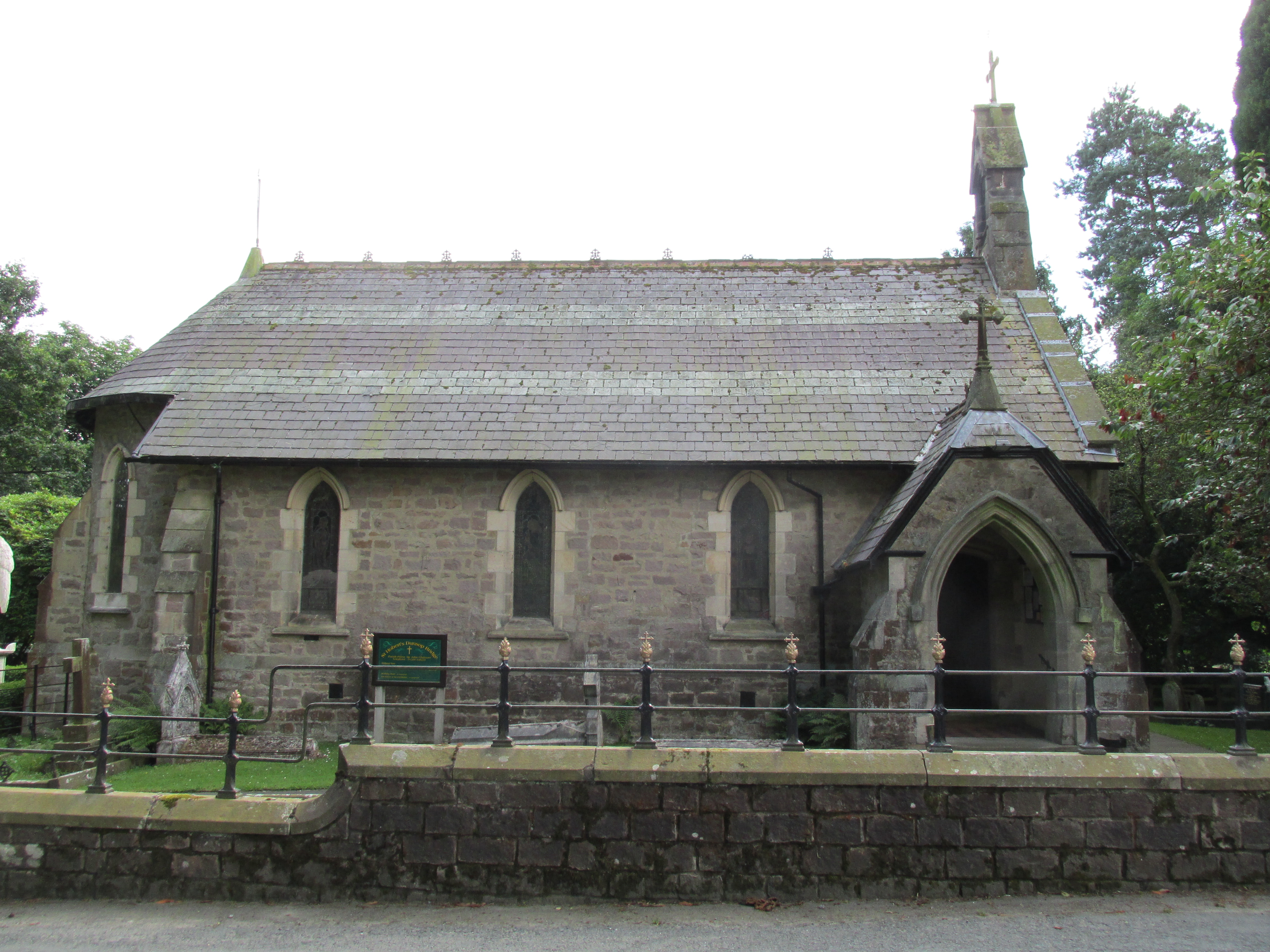
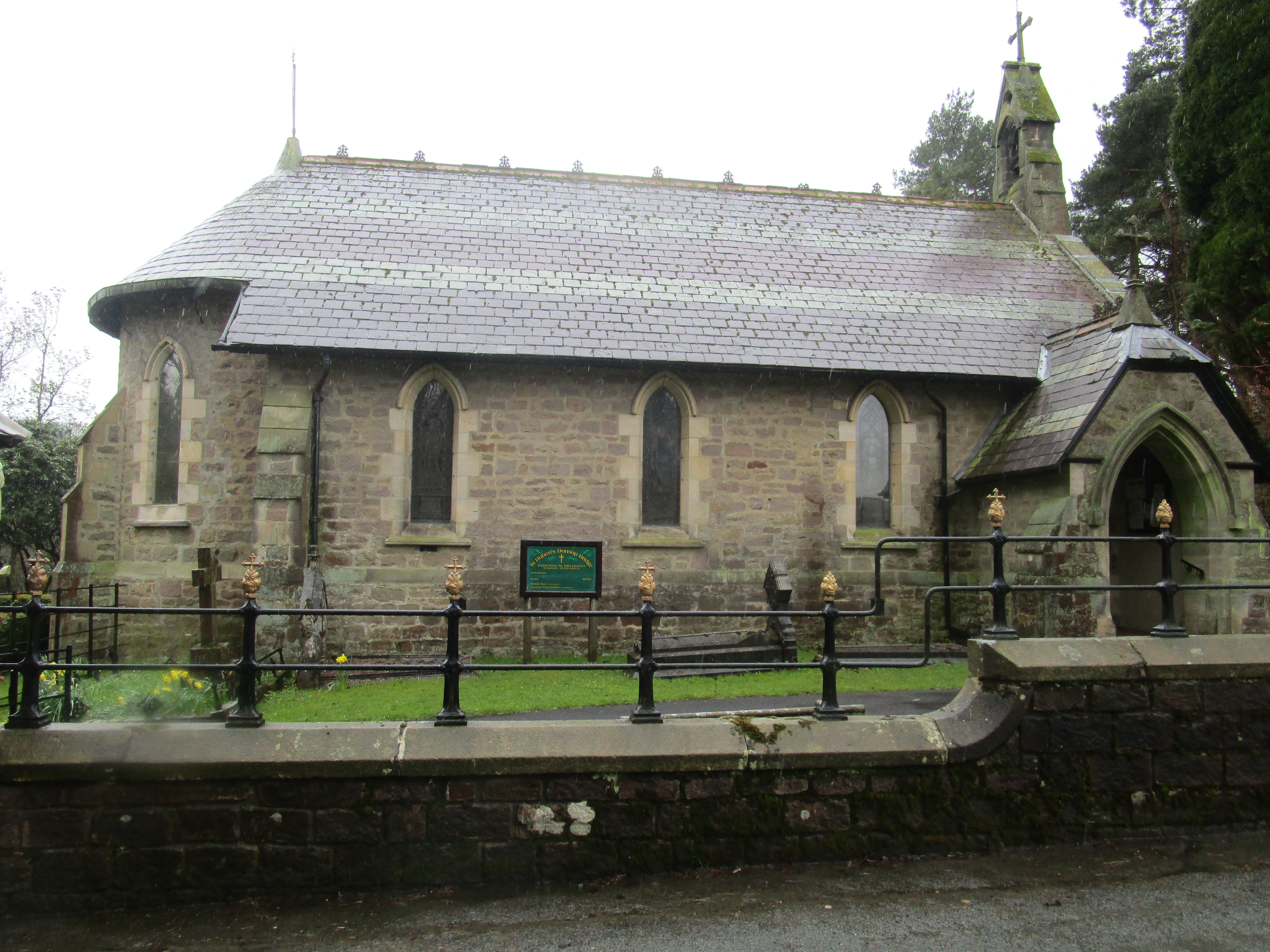
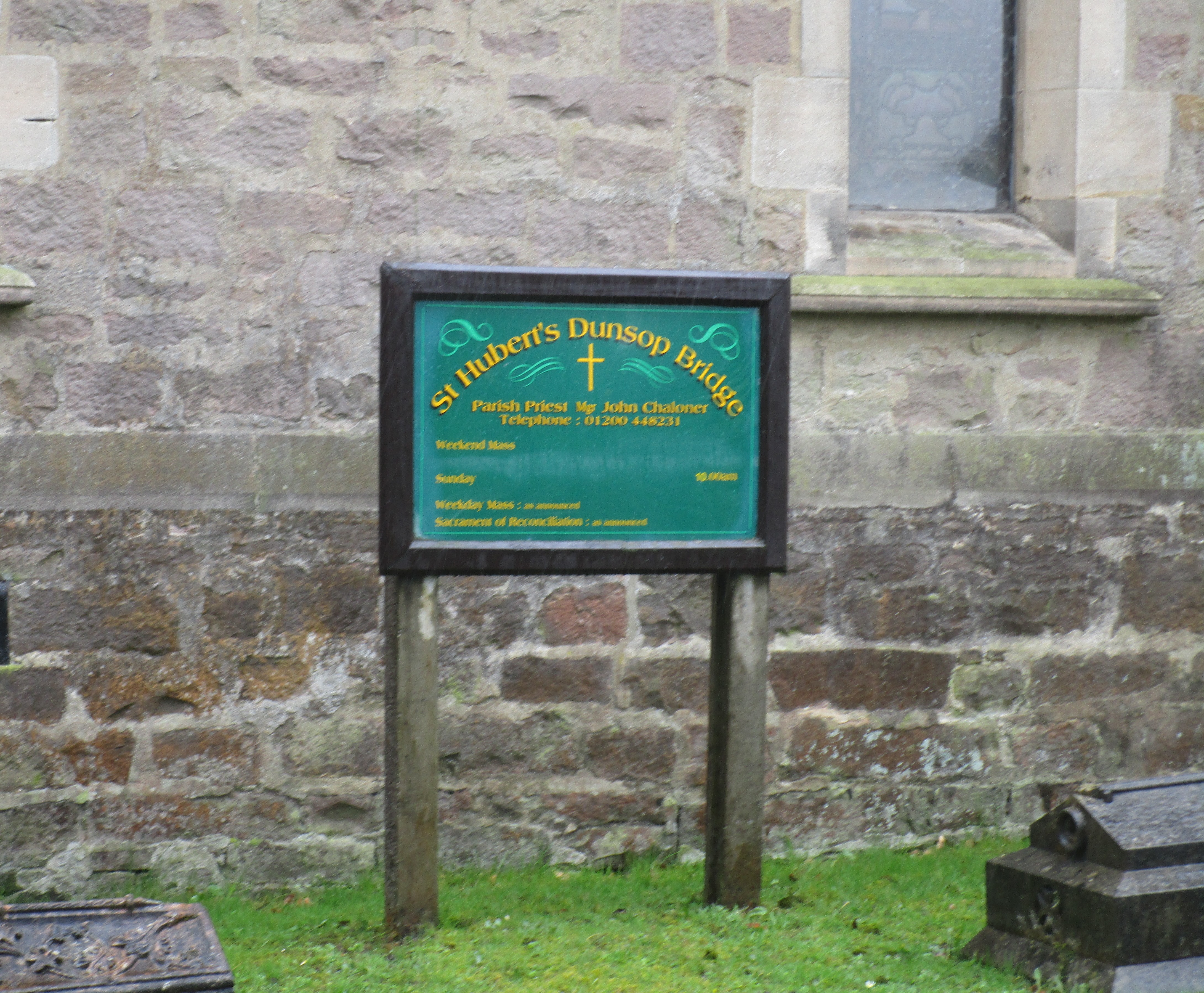
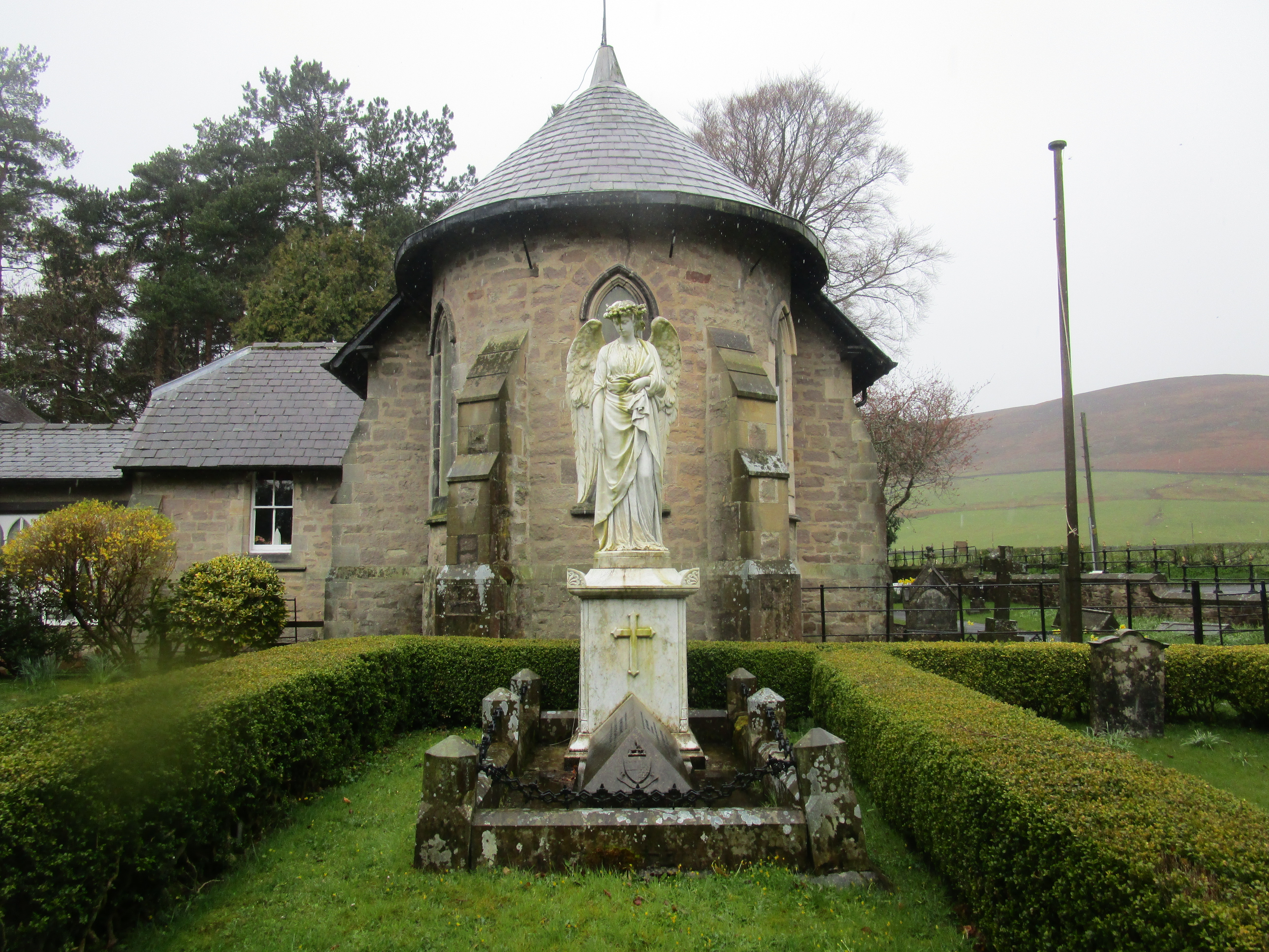
| Description | : | The church is situated on the edge of the village of Dunsop Bridge and is a hidden gem. It opened in 1865. The burial ground is only small with the more recent burials on the left of the church as you walk through the gate, and the older burials are mainly to the right. There is some weathering and lichen on the older headstones making them hard to decipher. |
frequently asked questions (FAQ):
-
Where is St Hubert Roman Catholic Churchyard?
St Hubert Roman Catholic Churchyard is located at Trough Road Dunsop Bridge, Ribble Valley Borough ,Lancashire , BB7 3BGEngland.
-
St Hubert Roman Catholic Churchyard cemetery's updated grave count on graveviews.com?
19 memorials
-
Where are the coordinates of the St Hubert Roman Catholic Churchyard?
Latitude: 53.9460100
Longitude: -2.5246900
Nearby Cemetories:
1. St. Michael's Churchyard
Whitewell, Ribble Valley Borough, England
Coordinate: 53.9167560, -2.5209540
2. St Andrew Churchyard
Slaidburn, Ribble Valley Borough, England
Coordinate: 53.9641600, -2.4437090
3. St. Bartholomew Churchyard
Chipping, Ribble Valley Borough, England
Coordinate: 53.8846800, -2.5764100
4. Chipping Congregational Churchyard
Chipping, Ribble Valley Borough, England
Coordinate: 53.8836000, -2.5777700
5. St. Eadmer's Churchyard
Bleasdale, Wyre Borough, England
Coordinate: 53.9040530, -2.6504390
6. St Helen Churchyard
Waddington, Ribble Valley Borough, England
Coordinate: 53.8898700, -2.4143900
7. St James Churchyard
Tosside, Ribble Valley Borough, England
Coordinate: 53.9940290, -2.4029690
8. St William of York Churchyard
Thornley with Wheatley, Ribble Valley Borough, England
Coordinate: 53.8559540, -2.5866660
9. Grindleton Methodist Cemetery
Grindleton, Ribble Valley Borough, England
Coordinate: 53.9080420, -2.3684420
10. Clitheroe Cemetery
Clitheroe, Ribble Valley Borough, England
Coordinate: 53.8779250, -2.3984550
11. Christ Church Churchyard
Over Wyresdale, City of Lancaster, England
Coordinate: 53.9839250, -2.6861150
12. St. Joseph's Roman Catholic Cemetery
Clitheroe, Ribble Valley Borough, England
Coordinate: 53.8770700, -2.3960000
13. Holden Chapel
Bolton-by-Bowland, Ribble Valley Borough, England
Coordinate: 53.9420850, -2.3500060
14. St Ambrose Churchyard
Grindleton, Ribble Valley Borough, England
Coordinate: 53.9061710, -2.3633270
15. St Mary Magdalene Churchyard
Clitheroe, Ribble Valley Borough, England
Coordinate: 53.8740980, -2.3903420
16. Trinity Methodist Churchyard
Clitheroe, Ribble Valley Borough, England
Coordinate: 53.8709060, -2.3954550
17. Quaker Burial Ground
Abbeystead, City of Lancaster, England
Coordinate: 53.9910820, -2.6912370
18. St. Joseph Roman Catholic Churchyard
Hurst Green, Ribble Valley Borough, England
Coordinate: 53.8409900, -2.4820600
19. Stonyhurst College Burial Ground
Hurst Green, Ribble Valley Borough, England
Coordinate: 53.8403420, -2.4840310
20. Knowle Green Congregational Graveyard
Knowle Green, Ribble Valley Borough, England
Coordinate: 53.8380170, -2.5507210
21. Mount Sion Independent Chapelyard
Tosside, Ribble Valley Borough, England
Coordinate: 53.9982500, -2.3578200
22. St James Churchyard
Clitheroe, Ribble Valley Borough, England
Coordinate: 53.8659600, -2.3922700
23. Sawley Abbey
Sawley, Ribble Valley Borough, England
Coordinate: 53.9131920, -2.3417080
24. St John the Evangelist Churchyard
Hurst Green, Ribble Valley Borough, England
Coordinate: 53.8358000, -2.4852530