
| Memorials | : | 1 |
| Location | : | Antony, Cornwall Unitary Authority, England |
| Coordinate | : | 50.3692770, -4.2536460 |
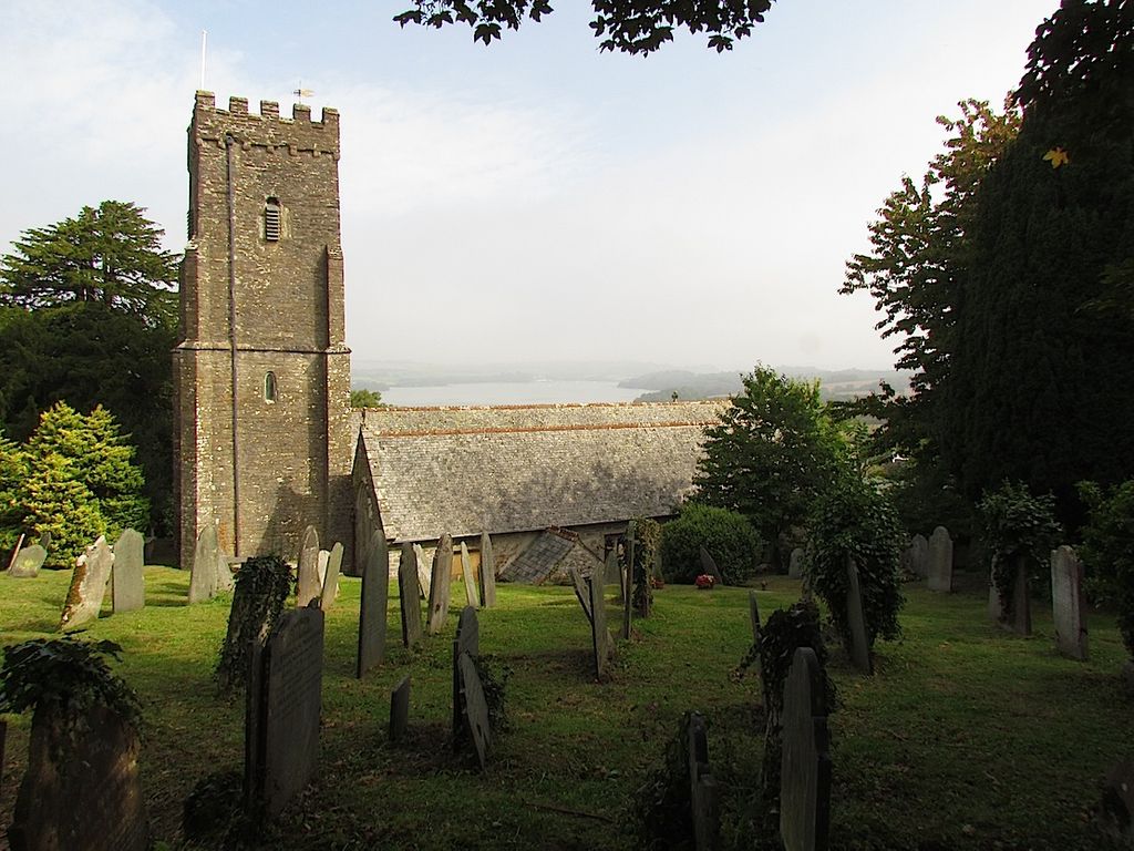
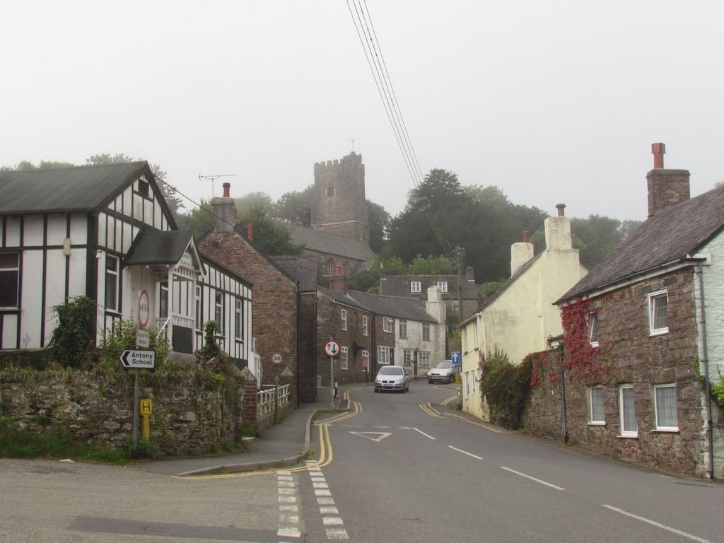
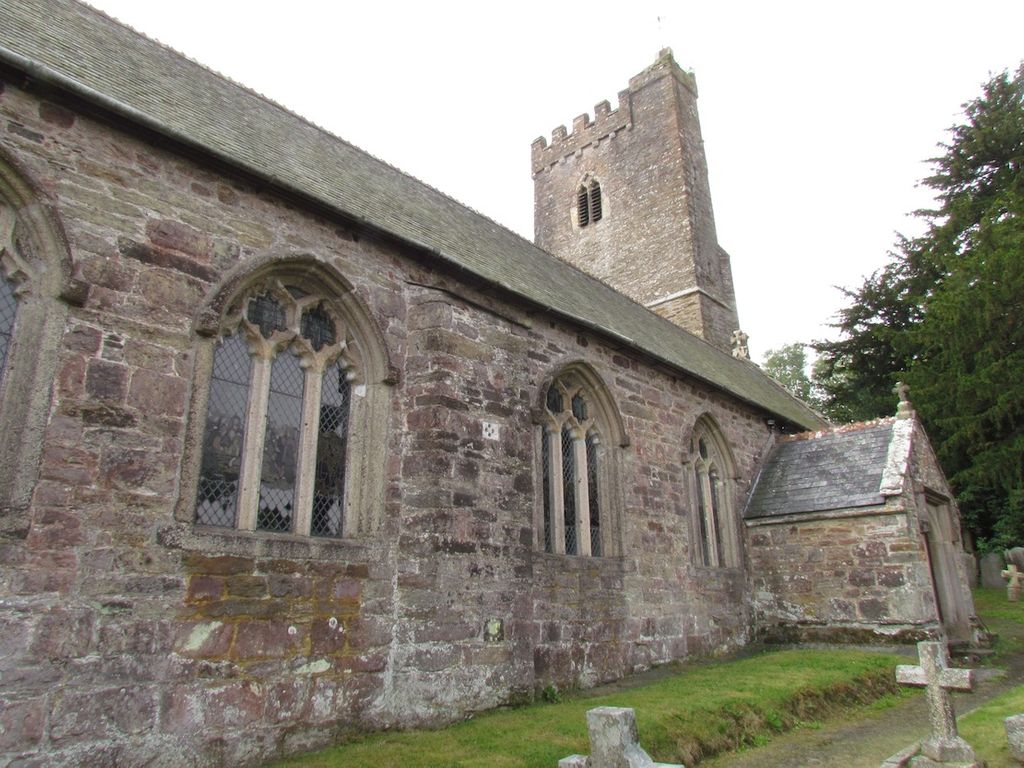
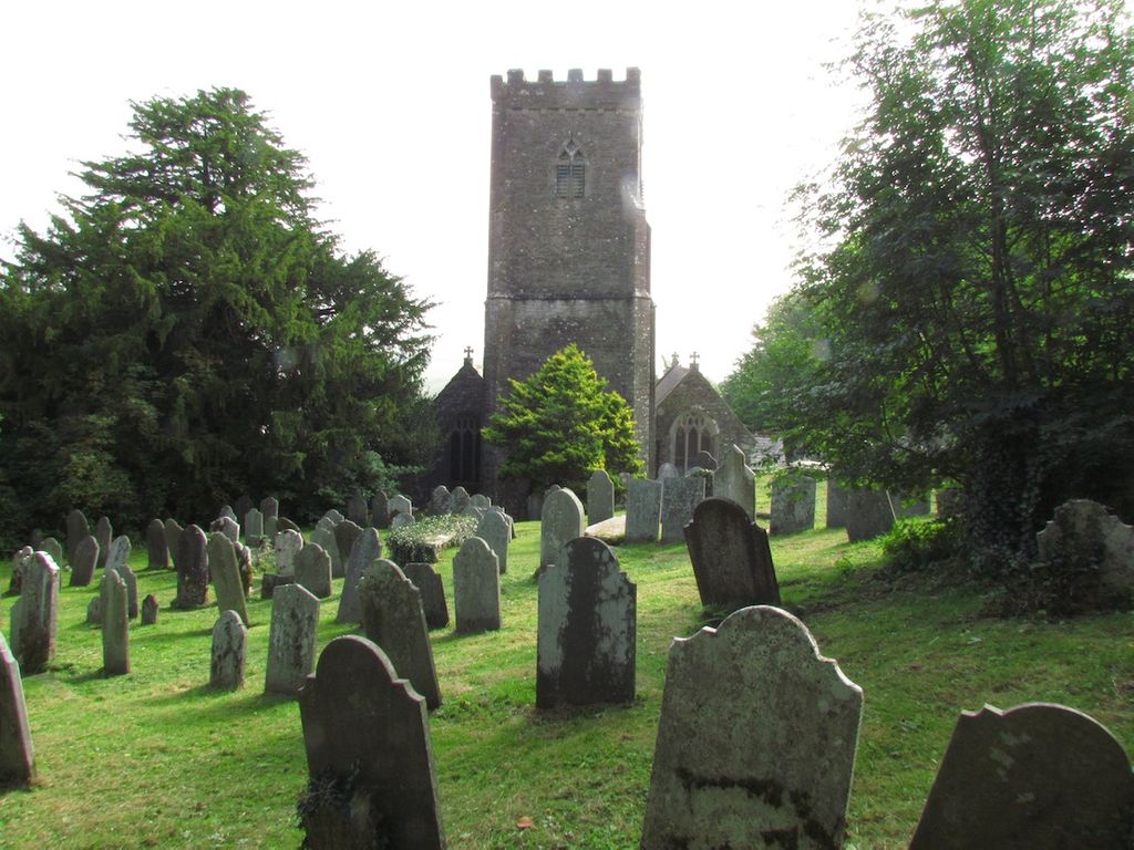
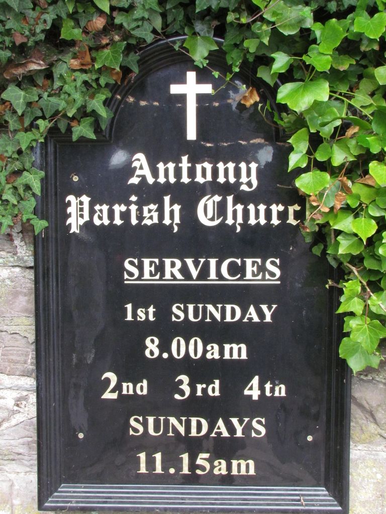
| Description | : | Antony (Cornish: Trevanta) is a coastal civil parish and a village in Cornwall, England, United Kingdom. The village is situated on the Rame Peninsula about three miles west of Torpoint The medieval parish church is dedicated to St James, the church includes structural elements from the 13th, 14th and 15th centuries. The church houses memorials to members of the Carew family of Antony (18th century) and a large monumental brass to Margery Arundell, 1420 |
frequently asked questions (FAQ):
-
Where is St James the Great Churchyard?
St James the Great Churchyard is located at Anthony Hill Antony, Cornwall Unitary Authority ,Cornwall , PL11 3AQEngland.
-
St James the Great Churchyard cemetery's updated grave count on graveviews.com?
1 memorials
-
Where are the coordinates of the St James the Great Churchyard?
Latitude: 50.3692770
Longitude: -4.2536460
Nearby Cemetories:
1. Antony Cemetery
Antony, Cornwall Unitary Authority, England
Coordinate: 50.3680060, -4.2530660
2. Horson Cemetery
Antony, Cornwall Unitary Authority, England
Coordinate: 50.3744400, -4.2283200
3. St. Erney Churchyard
Landrake, Cornwall Unitary Authority, England
Coordinate: 50.4085300, -4.2943000
4. Maker Churchyard
Maker, Cornwall Unitary Authority, England
Coordinate: 50.3472048, -4.1853155
5. Weston Mill Cemetery and Crematorium
Plymouth, Plymouth Unitary Authority, England
Coordinate: 50.3954330, -4.1719780
6. St. Andrew with St. Luke Churchyard
Devonport, Plymouth Unitary Authority, England
Coordinate: 50.3747560, -4.1625170
7. Milehouse Cemetery
Devonport, Plymouth Unitary Authority, England
Coordinate: 50.3814650, -4.1636975
8. St Mary's Botus Fleming
Botus Fleming, Cornwall Unitary Authority, England
Coordinate: 50.4298100, -4.2483700
9. St Peter and The Holy Apostles Churchyard
Plymouth, Plymouth Unitary Authority, England
Coordinate: 50.3731580, -4.1544280
10. St Budoc Churchyard
St Budeaux, Plymouth Unitary Authority, England
Coordinate: 50.4130353, -4.1769516
11. St. Leonard & St. Dilpe Churchyard
Landulph, Cornwall Unitary Authority, England
Coordinate: 50.4324670, -4.2104830
12. Ford Park Cemetery
Plymouth, Plymouth Unitary Authority, England
Coordinate: 50.3813700, -4.1446090
13. Plymouth Naval Memorial
Plymouth, Plymouth Unitary Authority, England
Coordinate: 50.3655739, -4.1422210
14. St Andrew Churchyard (Defunct)
Plymouth, Plymouth Unitary Authority, England
Coordinate: 50.3699100, -4.1399240
15. St. Pancras Churchyard
Pennycross, Plymouth Unitary Authority, England
Coordinate: 50.4012300, -4.1510700
16. Ebenezer Methodist Chapel Burial Grounds
Plymouth, Plymouth Unitary Authority, England
Coordinate: 50.3732824, -4.1391355
17. St. Pancras Church Cemetery
Pennycross, Plymouth Unitary Authority, England
Coordinate: 50.4004000, -4.1497900
18. Gifford Place Jewish Cemetery
Plymouth, Plymouth Unitary Authority, England
Coordinate: 50.3841970, -4.1408370
19. Plymouth Hoe Old Jews Burial Ground
Plymouth, Plymouth Unitary Authority, England
Coordinate: 50.3667290, -4.1365800
20. St Mary's Church
Tamerton Foliot, Plymouth Unitary Authority, England
Coordinate: 50.4279200, -4.1582500
21. St. Anne Churchyard
Hessenford, Cornwall Unitary Authority, England
Coordinate: 50.3927900, -4.3817300
22. St John's Cemetery
Hooe, Plymouth Unitary Authority, England
Coordinate: 50.3540100, -4.1157900
23. Oreston Methodist Church Burial Ground
Oreston, Plymouth Unitary Authority, England
Coordinate: 50.3608000, -4.1080700
24. St. Edward's Churchyard
Eggbuckland, Plymouth Unitary Authority, England
Coordinate: 50.4007100, -4.1146830