
| Memorials | : | 0 |
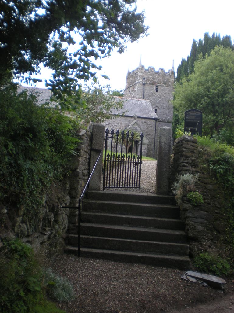
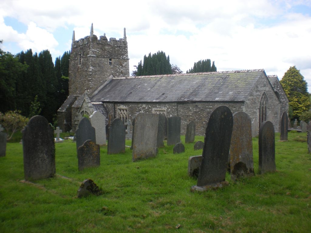
| Location | : | Landrake, Cornwall Unitary Authority, England |
| Coordinate | : | 50.4085300, -4.2943000 |
frequently asked questions (FAQ):
-
Where is St. Erney Churchyard?
St. Erney Churchyard is located at Landrake, Cornwall Unitary Authority ,Cornwall ,England.
-
St. Erney Churchyard cemetery's updated grave count on graveviews.com?
0 memorials
-
Where are the coordinates of the St. Erney Churchyard?
Latitude: 50.4085300
Longitude: -4.2943000
Nearby Cemetories:
1. St Mary's Botus Fleming
Botus Fleming, Cornwall Unitary Authority, England
Coordinate: 50.4298100, -4.2483700
2. St James the Great Churchyard
Antony, Cornwall Unitary Authority, England
Coordinate: 50.3692770, -4.2536460
3. Antony Cemetery
Antony, Cornwall Unitary Authority, England
Coordinate: 50.3680060, -4.2530660
4. Horson Cemetery
Antony, Cornwall Unitary Authority, England
Coordinate: 50.3744400, -4.2283200
5. St. Anne Churchyard
Hessenford, Cornwall Unitary Authority, England
Coordinate: 50.3927900, -4.3817300
6. St. Leonard & St. Dilpe Churchyard
Landulph, Cornwall Unitary Authority, England
Coordinate: 50.4324670, -4.2104830
7. St Budoc Churchyard
St Budeaux, Plymouth Unitary Authority, England
Coordinate: 50.4130353, -4.1769516
8. Weston Mill Cemetery and Crematorium
Plymouth, Plymouth Unitary Authority, England
Coordinate: 50.3954330, -4.1719780
9. Milehouse Cemetery
Devonport, Plymouth Unitary Authority, England
Coordinate: 50.3814650, -4.1636975
10. St. Andrew's Churchyard
Bere Ferrers, West Devon Borough, England
Coordinate: 50.4505300, -4.1715320
11. St Mary's Church
Tamerton Foliot, Plymouth Unitary Authority, England
Coordinate: 50.4279200, -4.1582500
12. St. Andrew with St. Luke Churchyard
Devonport, Plymouth Unitary Authority, England
Coordinate: 50.3747560, -4.1625170
13. St. Pancras Churchyard
Pennycross, Plymouth Unitary Authority, England
Coordinate: 50.4012300, -4.1510700
14. Callington Cemetery
Callington, Cornwall Unitary Authority, England
Coordinate: 50.4992660, -4.3194640
15. St. Pancras Church Cemetery
Pennycross, Plymouth Unitary Authority, England
Coordinate: 50.4004000, -4.1497900
16. Maker Churchyard
Maker, Cornwall Unitary Authority, England
Coordinate: 50.3472048, -4.1853155
17. St Peter and The Holy Apostles Churchyard
Plymouth, Plymouth Unitary Authority, England
Coordinate: 50.3731580, -4.1544280
18. St Mary Churchyard
Callington, Cornwall Unitary Authority, England
Coordinate: 50.5035020, -4.3158890
19. Holy Trinity Churchyard
Bere Alston, West Devon Borough, England
Coordinate: 50.4789735, -4.1881879
20. Ford Park Cemetery
Plymouth, Plymouth Unitary Authority, England
Coordinate: 50.3813700, -4.1446090
21. Gifford Place Jewish Cemetery
Plymouth, Plymouth Unitary Authority, England
Coordinate: 50.3841970, -4.1408370
22. St. Martin-by-Looe Churchyard
Looe, Cornwall Unitary Authority, England
Coordinate: 50.3694180, -4.4471450
23. Ebenezer Methodist Chapel Burial Grounds
Plymouth, Plymouth Unitary Authority, England
Coordinate: 50.3732824, -4.1391355
24. St Andrew Churchyard (Defunct)
Plymouth, Plymouth Unitary Authority, England
Coordinate: 50.3699100, -4.1399240