
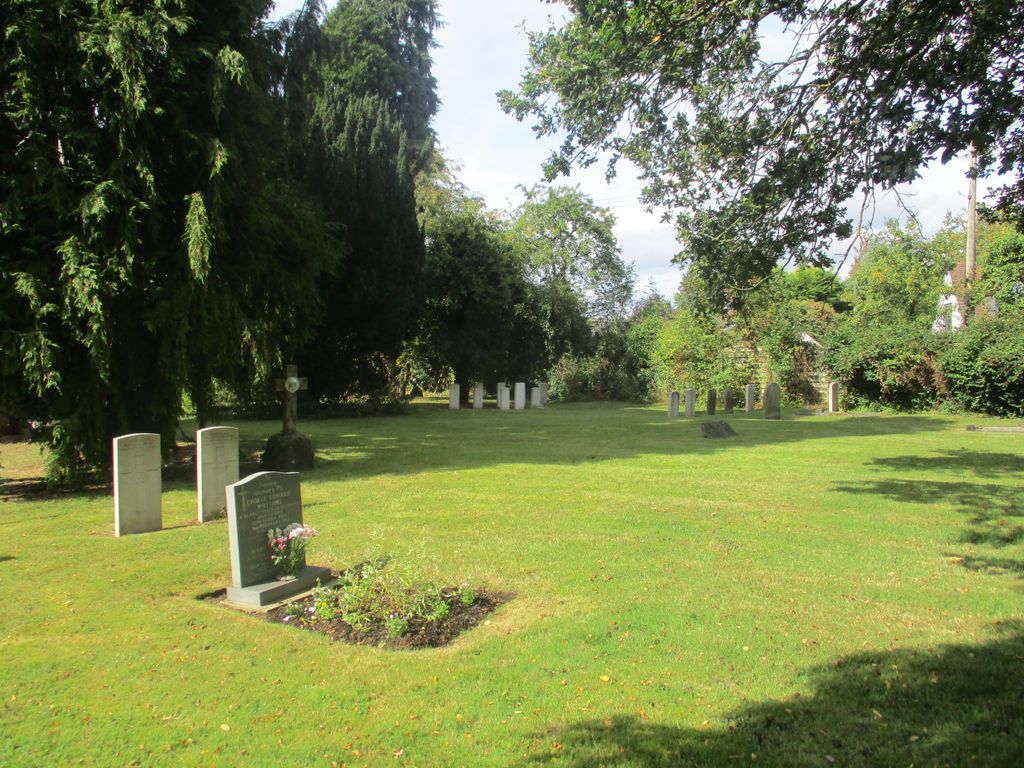
| Memorials | : | 0 |
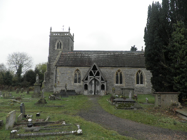
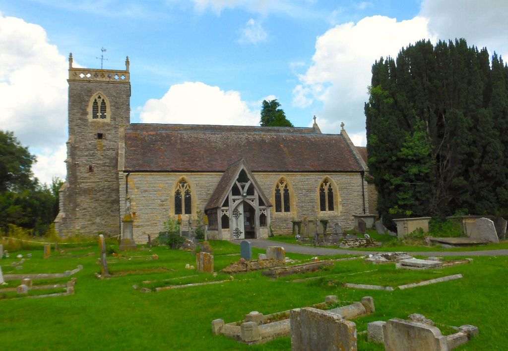
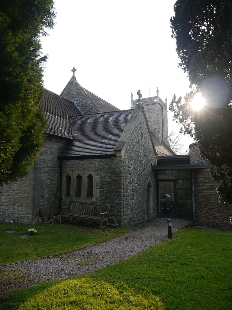
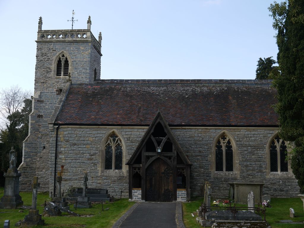
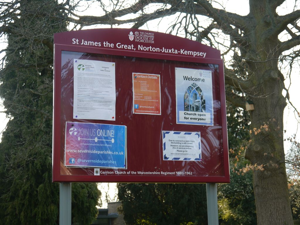
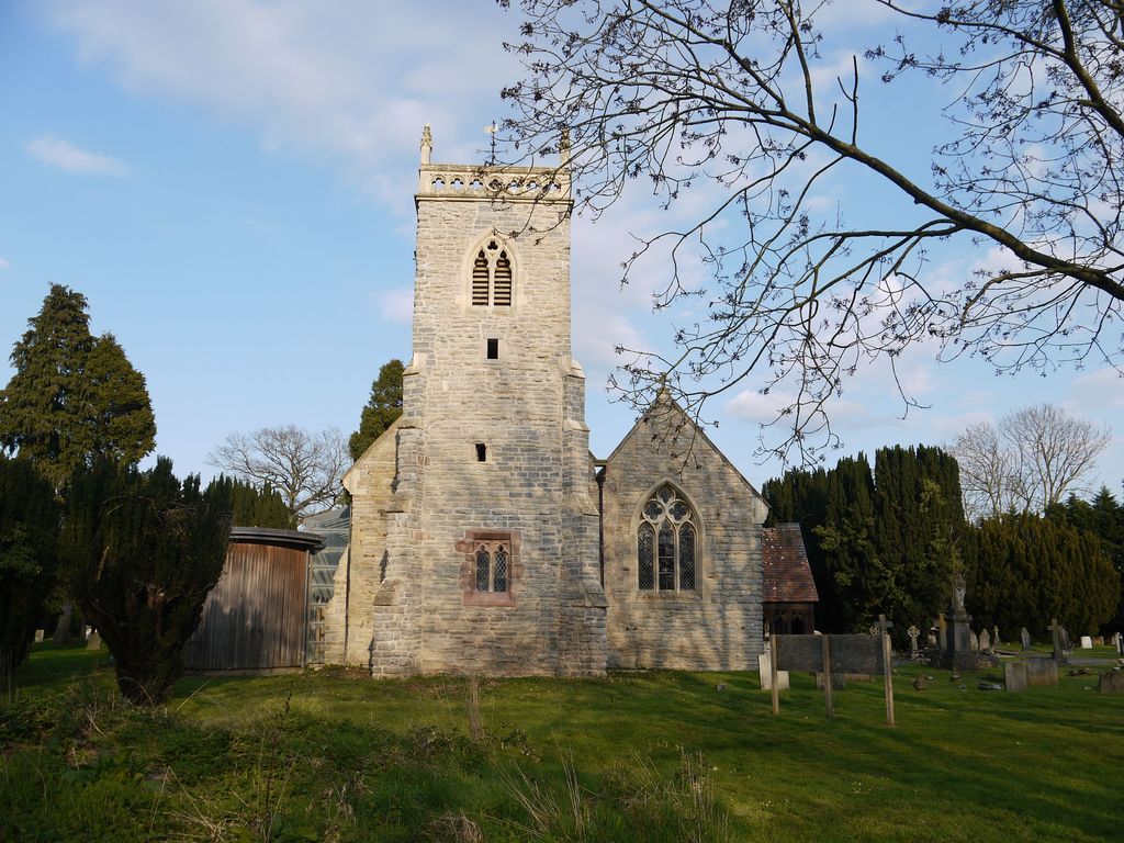
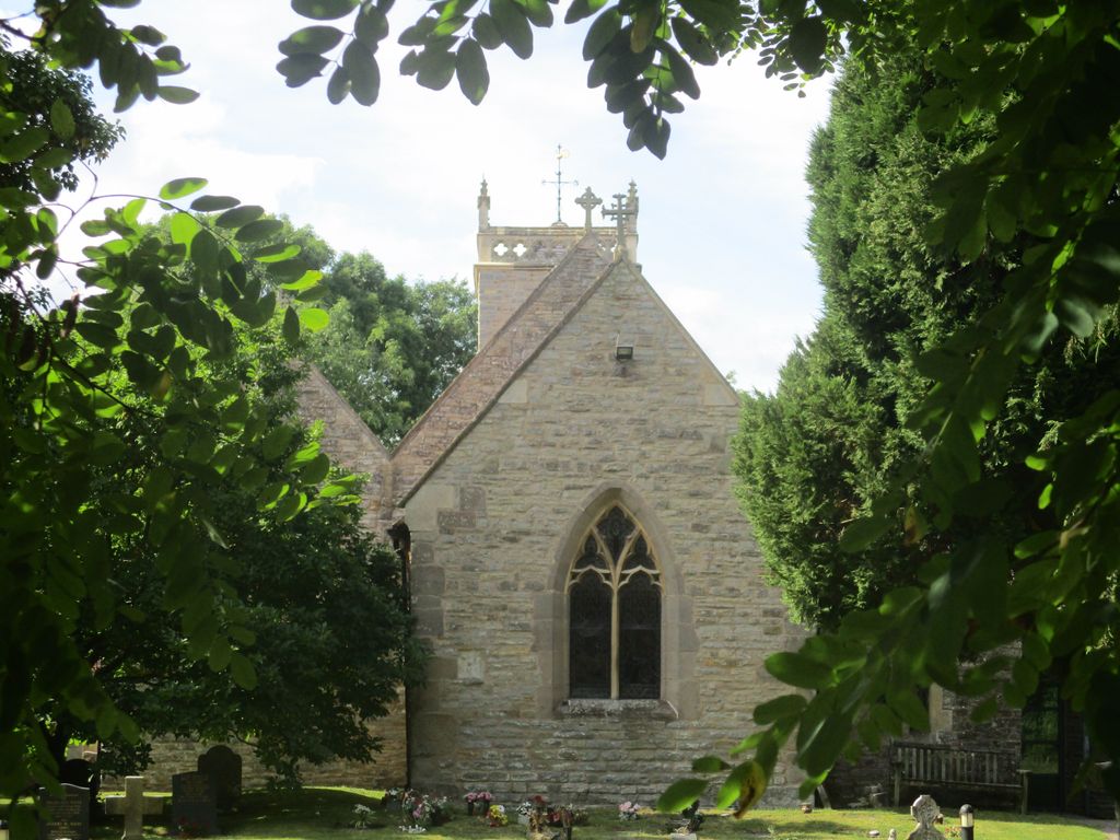
| Location | : | Norton, Wychavon District, England |
| Coordinate | : | 52.1586493, -2.1795272 |
| Description | : | Norton was for many years the headquarters of the Worcestershire Regiment. The barracks were built in 1877 but closed some years ago, now being the site of private housing. |
frequently asked questions (FAQ):
-
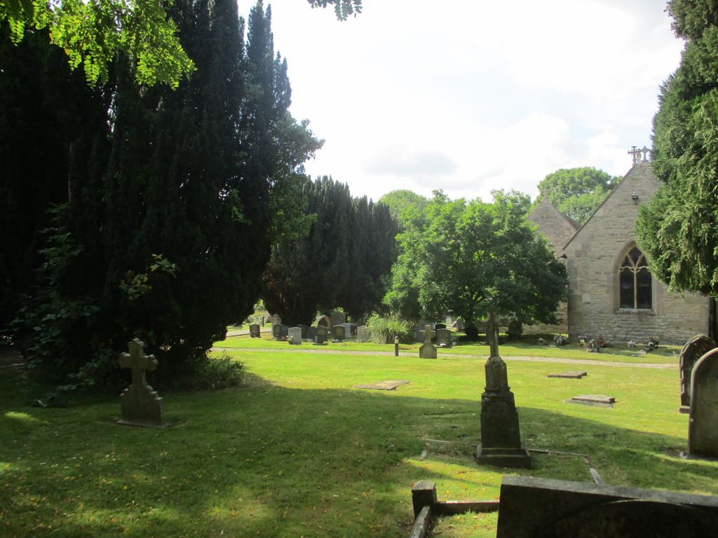
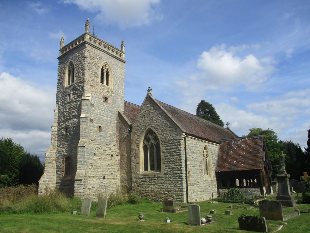
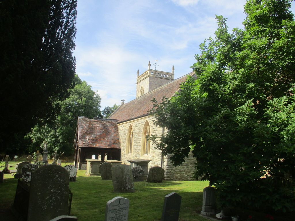
Where is St. James the Great Churchyard?
St. James the Great Churchyard is located at Church Lane Norton, Wychavon District ,Worcestershire , WR5 2PSEngland.
-
St. James the Great Churchyard cemetery's updated grave count on graveviews.com?
0 memorials
-
Where are the coordinates of the St. James the Great Churchyard?
Latitude: 52.1586493
Longitude: -2.1795272
Nearby Cemetories:
1. St. Philip and James Churchyard
Whittington, Wychavon District, England
Coordinate: 52.1741600, -2.1821800
2. St. Edmund Churchyard
Stoulton, Wychavon District, England
Coordinate: 52.1465260, -2.1380850
3. All Saints Churchyard
Spetchley, Wychavon District, England
Coordinate: 52.1836700, -2.1541000
4. St. Mary the Virgin Churchyard
Kempsey, Malvern Hills District, England
Coordinate: 52.1396580, -2.2231290
5. St. Peter the Great Churchyard
Worcester, City of Worcester, England
Coordinate: 52.1878260, -2.2185430
6. St Peter's Church Burial Ground
Powick, Malvern Hills District, England
Coordinate: 52.1613890, -2.2432490
7. Worcester Cathedral
Worcester, City of Worcester, England
Coordinate: 52.1887270, -2.2208070
8. St. Peter's Churchyard
Pirton, Wychavon District, England
Coordinate: 52.1196530, -2.1687410
9. St Paul Churchyard
Worcester, City of Worcester, England
Coordinate: 52.1917400, -2.2156500
10. Greyfriars
Worcester, City of Worcester, England
Coordinate: 52.1905400, -2.2187800
11. St Helen's Church
Worcester, City of Worcester, England
Coordinate: 52.1903000, -2.2209900
12. Saint Alban Church
Worcester, City of Worcester, England
Coordinate: 52.1904262, -2.2218995
13. St. John The Baptist Churchyard
White Ladies Aston, Wychavon District, England
Coordinate: 52.1725700, -2.1153500
14. Saint Andrew Churchyard
Worcester, City of Worcester, England
Coordinate: 52.1911300, -2.2224300
15. Stanbrook Abbey
Callow End, Malvern Hills District, England
Coordinate: 52.1389670, -2.2398380
16. St James the Less Churchyard
Bredicot, Wychavon District, England
Coordinate: 52.1931604, -2.1407157
17. St Martin In The Cornmarket
Worcester, City of Worcester, England
Coordinate: 52.1930500, -2.2189300
18. Saint Swithun Churchyard
Worcester, City of Worcester, England
Coordinate: 52.1925300, -2.2204000
19. All Saints Churchyard
Worcester, City of Worcester, England
Coordinate: 52.1919400, -2.2240200
20. St Johns Bedwardine
Worcester, City of Worcester, England
Coordinate: 52.1882200, -2.2352000
21. St. Michael's Churchyard
Churchill, Wychavon District, England
Coordinate: 52.1800184, -2.1143279
22. St. Clement's Churchyard
Worcester, City of Worcester, England
Coordinate: 52.1906579, -2.2341371
23. Black Friars of Worcester
Worcester, City of Worcester, England
Coordinate: 52.1962970, -2.2244990
24. St Oswald's Hospital Churchyard
Worcester, City of Worcester, England
Coordinate: 52.1989700, -2.2232400