
| Memorials | : | 0 |
| Location | : | Powick, Malvern Hills District, England |
| Coordinate | : | 52.1613890, -2.2432490 |
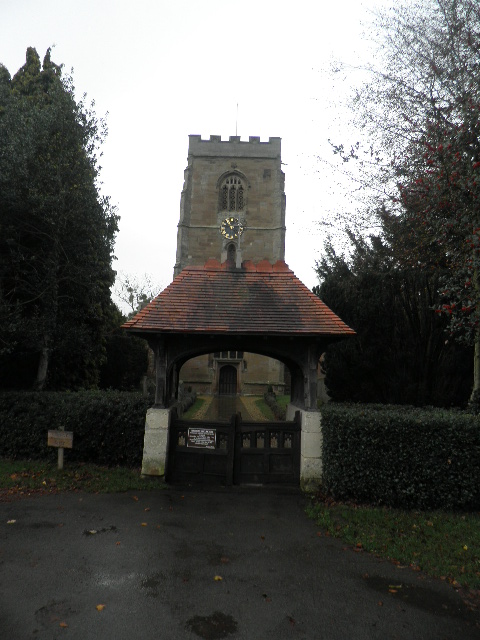
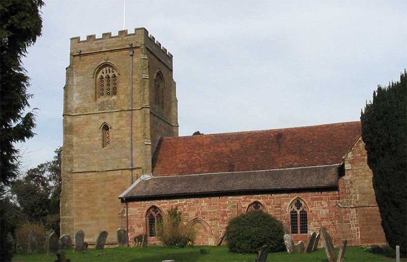
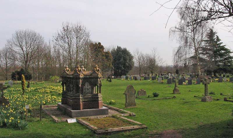
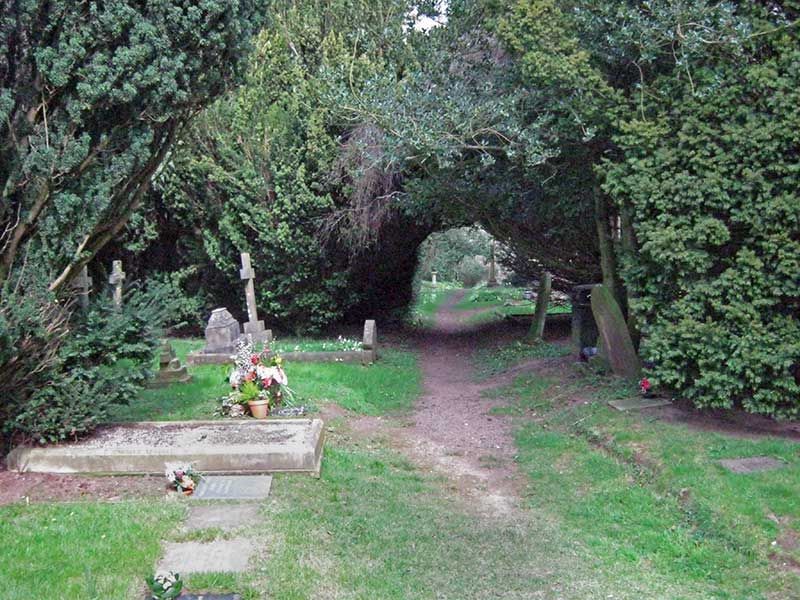
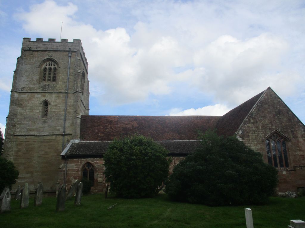
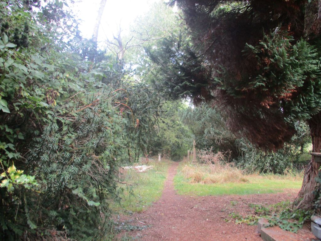
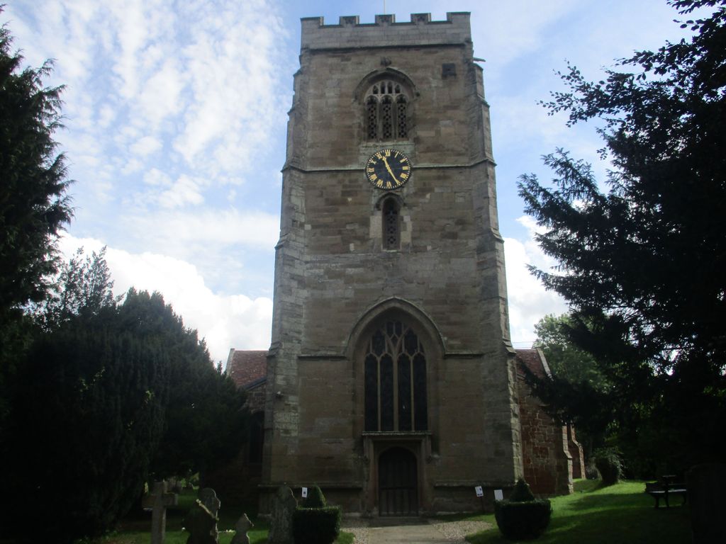
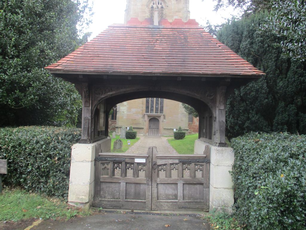
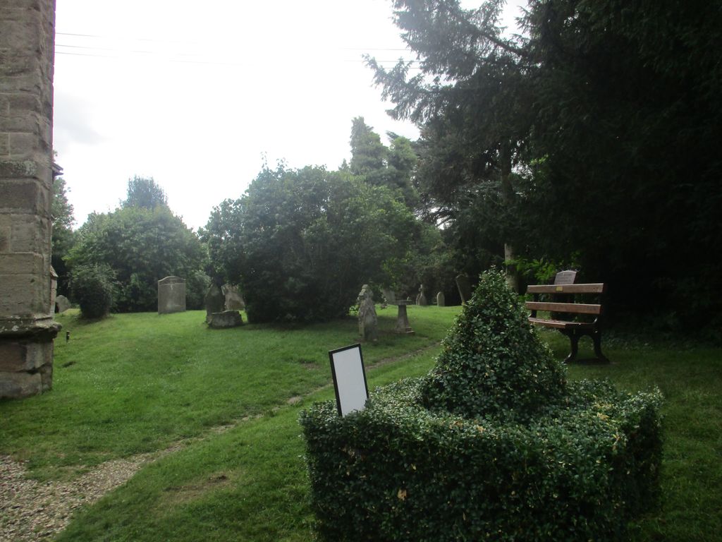
| Description | : | The Domesday book records a resident priest in Powick in 1087. The original church was probably built of wood, before being replaced with stone. Parts of the current building date back to the 12th century; the tower was added later in the 15th century. In 1651 the tower was used as a lookout post by Royalist forces at the Battle of Worcester during the English Civil War; musket shot marks can still be seen in the south tower wall. The churchyard/burial ground covers about 4 acres and is one of the largest in England; it has gravestones dating back to 1672. |
frequently asked questions (FAQ):
-
Where is St Peter's Church Burial Ground?
St Peter's Church Burial Ground is located at Upton Road Powick, Malvern Hills District ,Worcestershire , WR2 4QTEngland.
-
St Peter's Church Burial Ground cemetery's updated grave count on graveviews.com?
0 memorials
-
Where are the coordinates of the St Peter's Church Burial Ground?
Latitude: 52.1613890
Longitude: -2.2432490
Nearby Cemetories:
1. Worcester County Pauper and Lunatic Asylum Cemetery
Powick, Malvern Hills District, England
Coordinate: 52.1530276, -2.2599550
2. Stanbrook Abbey
Callow End, Malvern Hills District, England
Coordinate: 52.1389670, -2.2398380
3. St. Mary the Virgin Churchyard
Kempsey, Malvern Hills District, England
Coordinate: 52.1396580, -2.2231290
4. St Johns Bedwardine
Worcester, City of Worcester, England
Coordinate: 52.1882200, -2.2352000
5. Saint John's Cemetery
Worcester, City of Worcester, England
Coordinate: 52.1894670, -2.2436270
6. St. Clement's Churchyard
Worcester, City of Worcester, England
Coordinate: 52.1906579, -2.2341371
7. St. Peter the Great Churchyard
Worcester, City of Worcester, England
Coordinate: 52.1878260, -2.2185430
8. Worcester Cathedral
Worcester, City of Worcester, England
Coordinate: 52.1887270, -2.2208070
9. Saint Alban Church
Worcester, City of Worcester, England
Coordinate: 52.1904262, -2.2218995
10. St Helen's Church
Worcester, City of Worcester, England
Coordinate: 52.1903000, -2.2209900
11. Saint Andrew Churchyard
Worcester, City of Worcester, England
Coordinate: 52.1911300, -2.2224300
12. All Saints Churchyard
Worcester, City of Worcester, England
Coordinate: 52.1919400, -2.2240200
13. Greyfriars
Worcester, City of Worcester, England
Coordinate: 52.1905400, -2.2187800
14. St. John the Baptist Churchyard
Bransford, Malvern Hills District, England
Coordinate: 52.1616486, -2.2981676
15. Saint Swithun Churchyard
Worcester, City of Worcester, England
Coordinate: 52.1925300, -2.2204000
16. St Paul Churchyard
Worcester, City of Worcester, England
Coordinate: 52.1917400, -2.2156500
17. St Thomas Churchyard
Rushwick, Malvern Hills District, England
Coordinate: 52.1903870, -2.2751750
18. St Martin In The Cornmarket
Worcester, City of Worcester, England
Coordinate: 52.1930500, -2.2189300
19. Black Friars of Worcester
Worcester, City of Worcester, England
Coordinate: 52.1962970, -2.2244990
20. St. James the Great Churchyard
Norton, Wychavon District, England
Coordinate: 52.1586493, -2.1795272
21. St Oswald's Hospital Churchyard
Worcester, City of Worcester, England
Coordinate: 52.1989700, -2.2232400
22. St. Philip and James Churchyard
Whittington, Wychavon District, England
Coordinate: 52.1741600, -2.1821800
23. Newland Cemetery
Newland, Malvern Hills District, England
Coordinate: 52.1342764, -2.2988052
24. St. George's Churchyard
Worcester, City of Worcester, England
Coordinate: 52.2038940, -2.2246274