
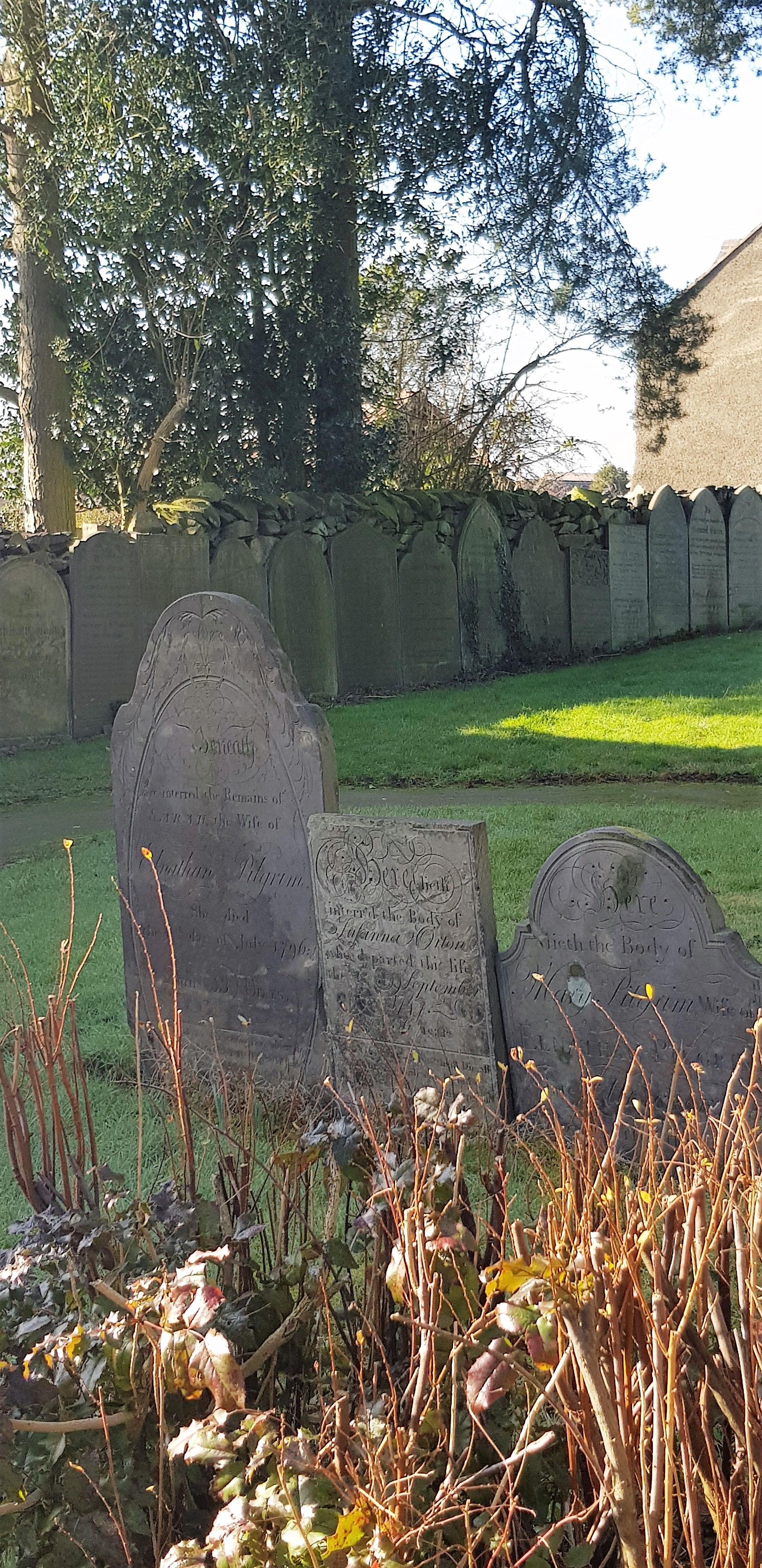
| Memorials | : | 153 |
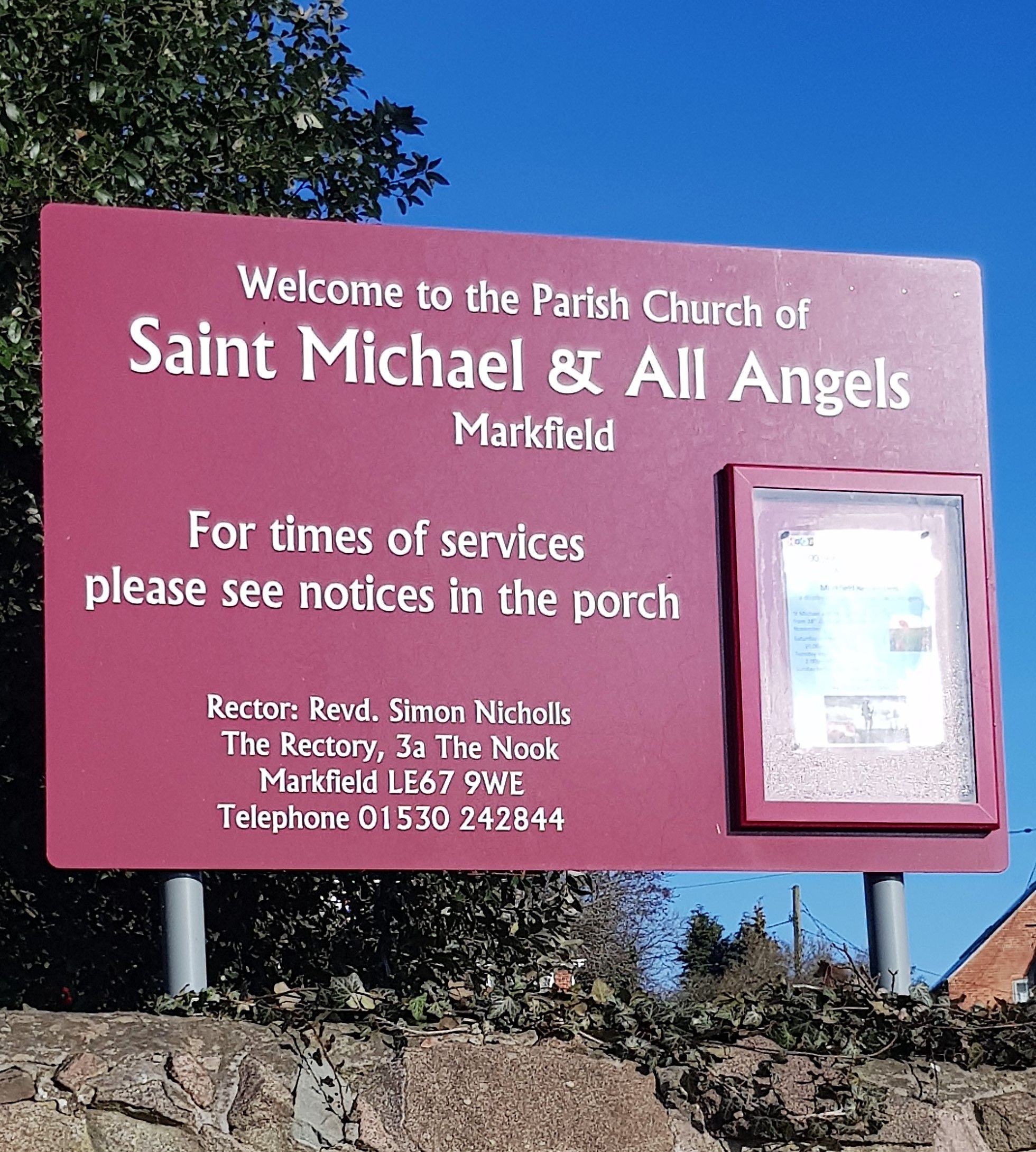
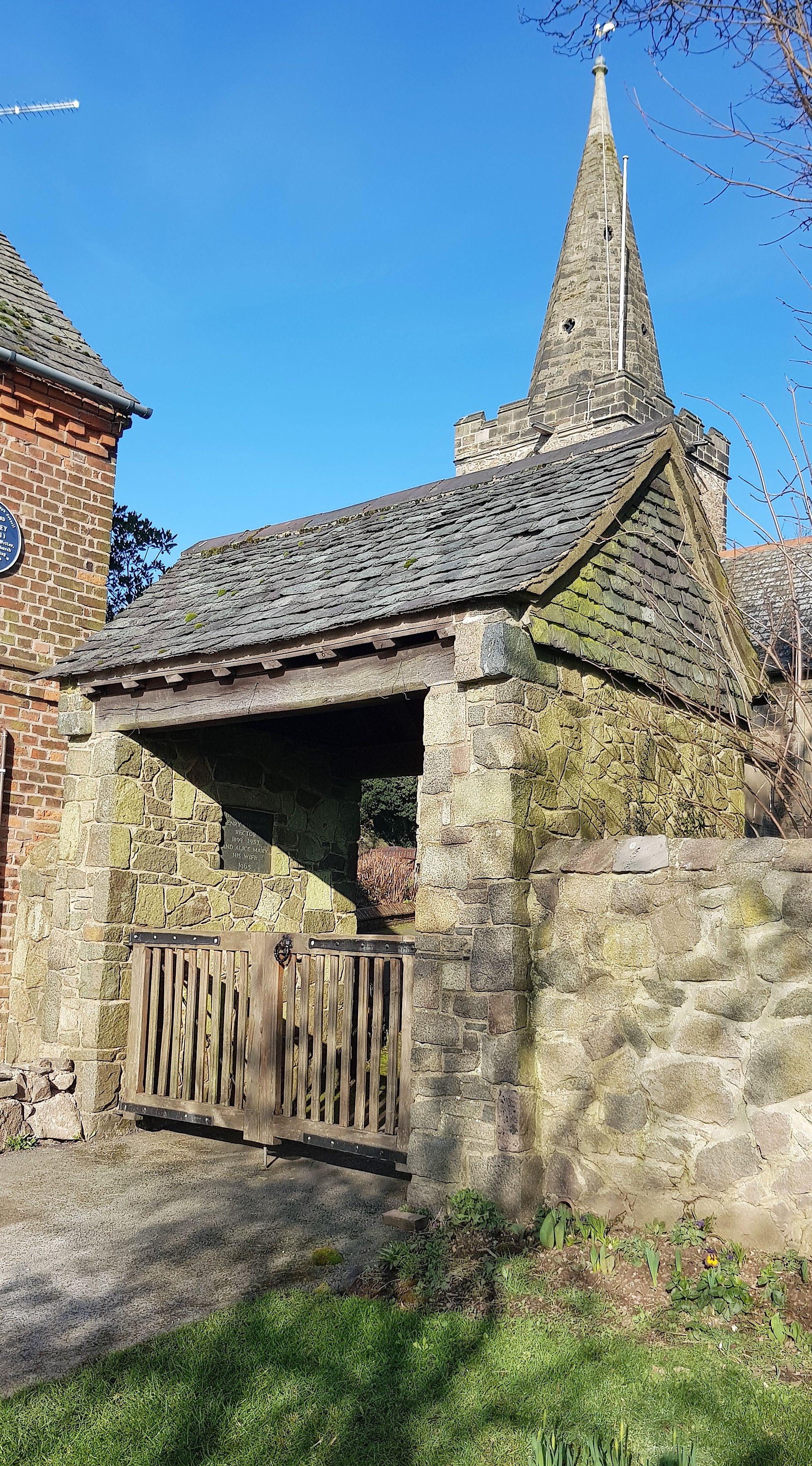
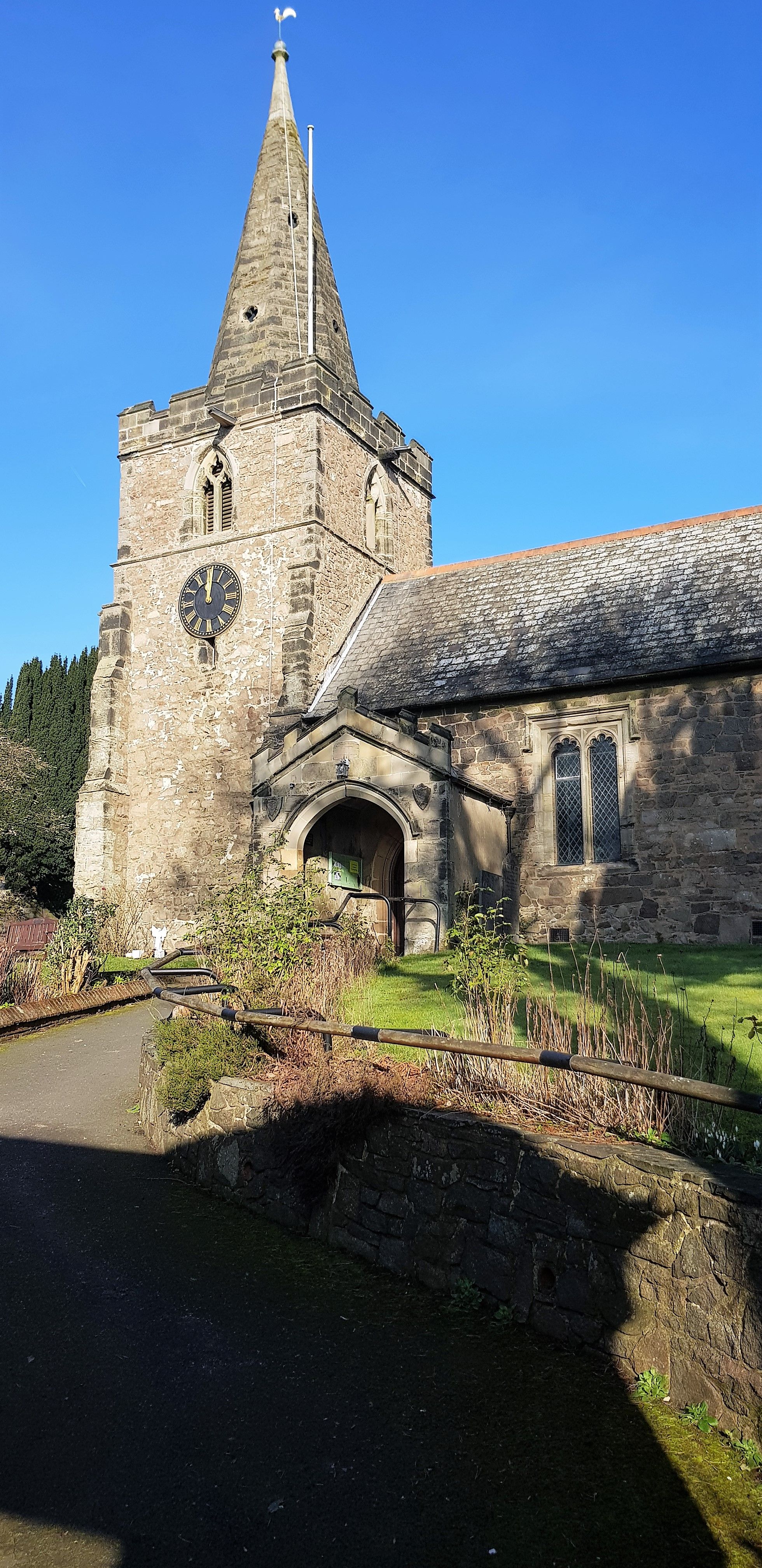
| Location | : | Markfield, Hinckley and Bosworth Borough, England |
| Coordinate | : | 52.6869930, -1.2793315 |
frequently asked questions (FAQ):
-
Where is Saint Michael and All Angels Churchyard?
Saint Michael and All Angels Churchyard is located at Markfield, Hinckley and Bosworth Borough ,Leicestershire ,England.
-
Saint Michael and All Angels Churchyard cemetery's updated grave count on graveviews.com?
153 memorials
-
Where are the coordinates of the Saint Michael and All Angels Churchyard?
Latitude: 52.6869930
Longitude: -1.2793315
Nearby Cemetories:
1. Markfield Cemetery
Markfield, Hinckley and Bosworth Borough, England
Coordinate: 52.6878983, -1.2707406
2. St Mary's Priory
Ulverscroft, Charnwood Borough, England
Coordinate: 52.7098890, -1.2598610
3. St. Peter's Churchyard
Thornton Abbey, North Lincolnshire Unitary Authority, England
Coordinate: 52.6646972, -1.3089069
4. St Peter's Churchyard
Bagworth, Hinckley and Bosworth Borough, England
Coordinate: 52.6646520, -1.3091920
5. Newtown Linford Parish Cemetery
Newtown Linford, Charnwood Borough, England
Coordinate: 52.6812092, -1.2308014
6. Bardon Park Chapel
Bardon, North West Leicestershire District, England
Coordinate: 52.7027960, -1.3223480
7. All Saints Churchyard
Newtown Linford, Charnwood Borough, England
Coordinate: 52.6832010, -1.2292860
8. St. Philip and St. James Churchyard
Groby, Hinckley and Bosworth Borough, England
Coordinate: 52.6639220, -1.2278540
9. Holy Rood Churchyard
Bagworth, Hinckley and Bosworth Borough, England
Coordinate: 52.6673400, -1.3367100
10. St. Peter's Churchyard
Bardon, North West Leicestershire District, England
Coordinate: 52.7090700, -1.3357800
11. Bradgate House Chapelyard
Leicester, Leicester Unitary Authority, England
Coordinate: 52.6867020, -1.2110290
12. Groby Village Cemetery
Groby, Hinckley and Bosworth Borough, England
Coordinate: 52.6542170, -1.2348310
13. St Philip and St James Churchyard
Ratby, Hinckley and Bosworth Borough, England
Coordinate: 52.6489370, -1.2433610
14. St. Paul's Churchyard
Woodhouse, Charnwood Borough, England
Coordinate: 52.7216880, -1.2139190
15. Broomleys Cemetery
Coalville, North West Leicestershire District, England
Coordinate: 52.7255540, -1.3402280
16. Anstey Cemetery
Anstey, Charnwood Borough, England
Coordinate: 52.6680480, -1.1955570
17. Kirby Muxloe Cemetery
Kirby Muxloe, Blaby District, England
Coordinate: 52.6373740, -1.2337780
18. St Mary's Church
Anstey, Charnwood Borough, England
Coordinate: 52.6720090, -1.1888250
19. St. James the Greater Oaks in Charnwood
Whitwick, North West Leicestershire District, England
Coordinate: 52.7425430, -1.3008590
20. St Bartholomew Churchyard
Kirby Muxloe, Blaby District, England
Coordinate: 52.6371750, -1.2320940
21. St Peter's Church
Glenfield, Blaby District, England
Coordinate: 52.6490490, -1.2063180
22. Hugglescote Cemetery
Coalville, North West Leicestershire District, England
Coordinate: 52.7067040, -1.3718090
23. Mount St Bernard Abbey
Whitwick, North West Leicestershire District, England
Coordinate: 52.7413880, -1.3234470
24. St Martin Churchyard
Desford, Hinckley and Bosworth Borough, England
Coordinate: 52.6268250, -1.2943410