
| Memorials | : | 4 |
| Location | : | Acklam, Ryedale District, England |
| Coordinate | : | 54.0451010, -0.8006330 |
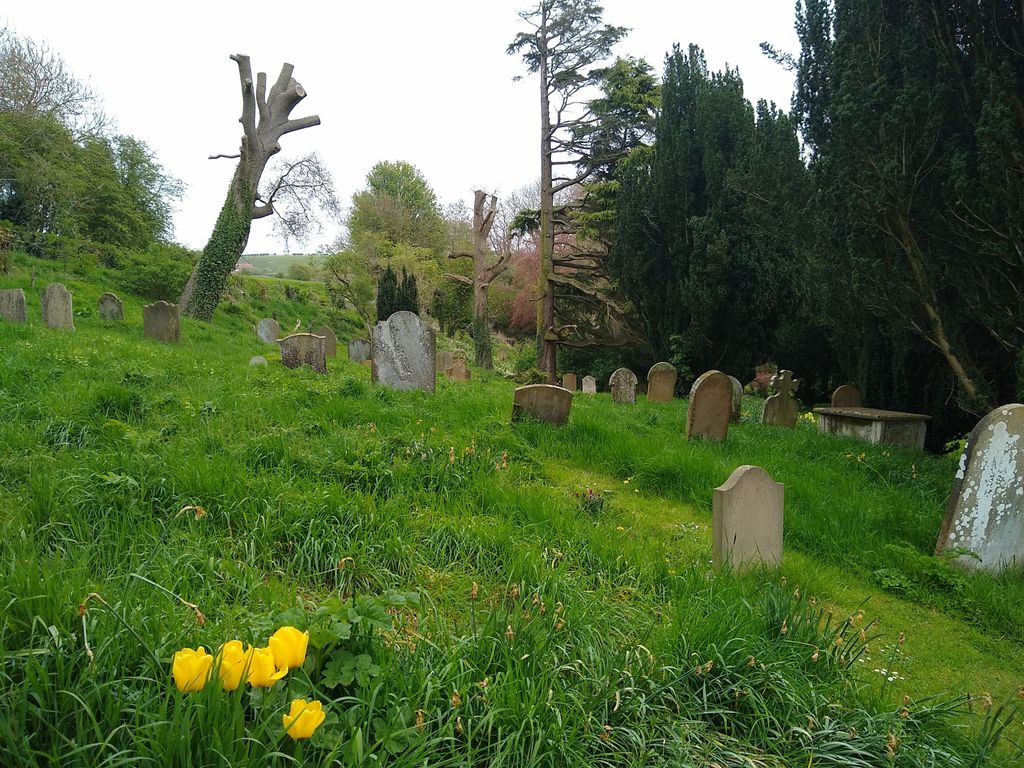
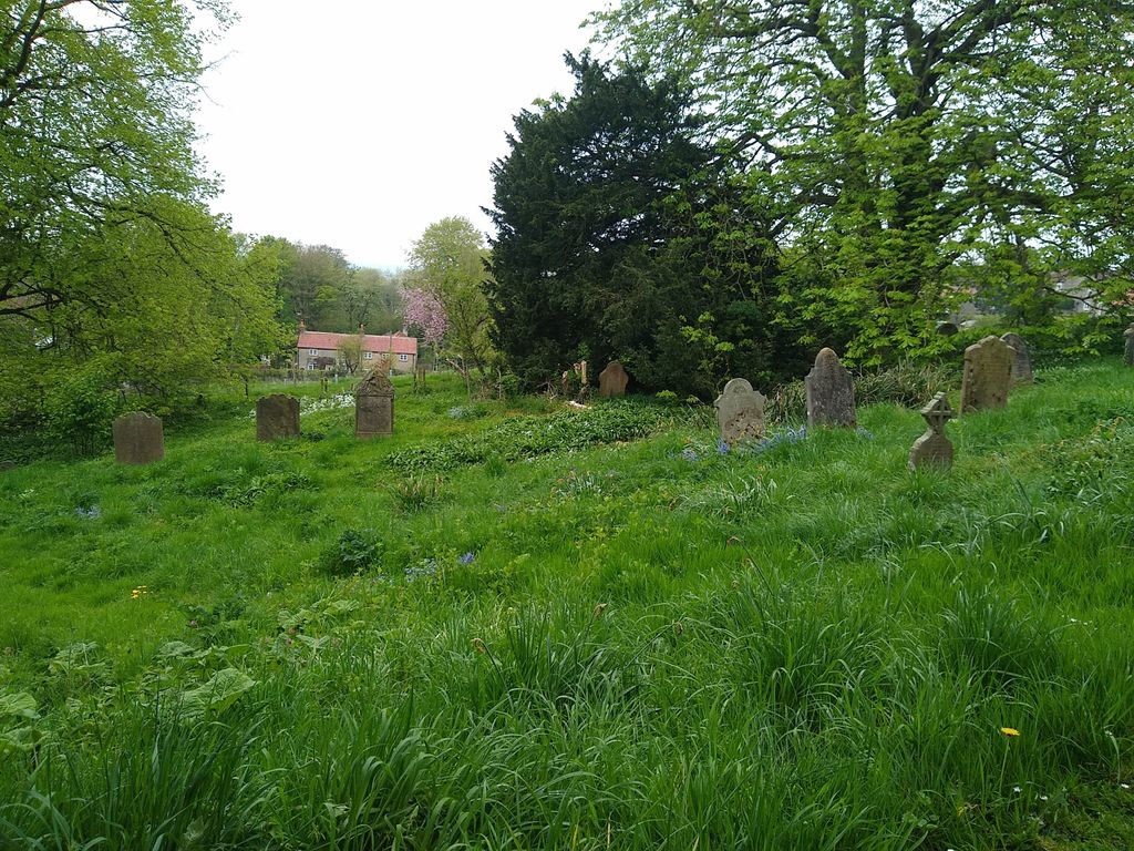
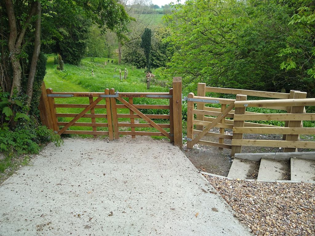
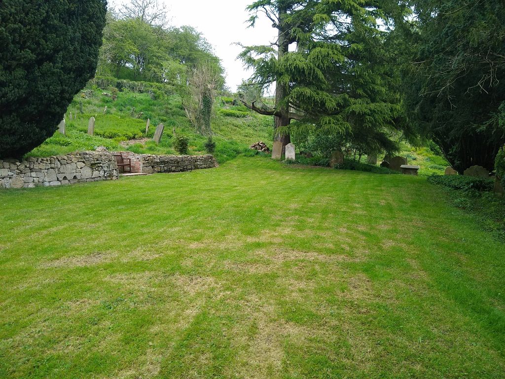
| Description | : | The original church was demolished in the 1970s, but the churchyard remains, at the east end of the village on Thrussendale Road. |
frequently asked questions (FAQ):
-
Where is St John the Baptist?
St John the Baptist is located at Acklam, Ryedale District ,North Yorkshire ,England.
-
St John the Baptist cemetery's updated grave count on graveviews.com?
4 memorials
-
Where are the coordinates of the St John the Baptist?
Latitude: 54.0451010
Longitude: -0.8006330
Nearby Cemetories:
1. Burythorpe Churchyard
Burythorpe, Ryedale District, England
Coordinate: 54.0752951, -0.7955984
2. All Saints Churchyard
Kirby Underdale, East Riding of Yorkshire Unitary Authority, England
Coordinate: 54.0166200, -0.7677100
3. St Andrew Churchyard
Bugthorpe, East Riding of Yorkshire Unitary Authority, England
Coordinate: 54.0108100, -0.8226900
4. St Mary Churchyard
Birdsall, Ryedale District, England
Coordinate: 54.0780000, -0.7508000
5. Howsham Churchyard
Howsham, Ryedale District, England
Coordinate: 54.0565520, -0.8755670
6. St. Mary's Churchyard
Westow, Ryedale District, England
Coordinate: 54.0846190, -0.8406850
7. St Peter and St Paul Churchyard
Scrayingham, Ryedale District, England
Coordinate: 54.0342510, -0.8826130
8. St Andrew Churchyard
Langton, Ryedale District, England
Coordinate: 54.0934510, -0.7834680
9. St. Mary's Churchyard
Thixendale, Ryedale District, England
Coordinate: 54.0387360, -0.7154888
10. St Michael Churchyard
Crambe, Ryedale District, England
Coordinate: 54.0744550, -0.8809390
11. St John the Evangelist Churchyard
Buttercrambe, Ryedale District, England
Coordinate: 54.0137300, -0.8812900
12. Kirkham Priory
Kirkham, Ryedale District, England
Coordinate: 54.0826180, -0.8768470
13. St. Edith Churchyard
Bishop Wilton, East Riding of Yorkshire Unitary Authority, England
Coordinate: 53.9862300, -0.7838500
14. St Botolph Churchyard
Bossall, Ryedale District, England
Coordinate: 54.0375570, -0.9047540
15. St Mary Churchyard
Full Sutton, East Riding of Yorkshire Unitary Authority, England
Coordinate: 53.9897620, -0.8613700
16. St. Margaret's Churchyard
Huttons Ambo, Ryedale District, England
Coordinate: 54.1066490, -0.8490640
17. St. Martin Churchyard
Wharram Percy, Ryedale District, England
Coordinate: 54.0665700, -0.6901300
18. St. Nicholas Churchyard
North Grimston, Ryedale District, England
Coordinate: 54.0989220, -0.7148680
19. St Ethelburga Churchyard
Great Givendale, East Riding of Yorkshire Unitary Authority, England
Coordinate: 53.9745030, -0.7617170
20. St Martin Churchyard
Fangfoss, East Riding of Yorkshire Unitary Authority, England
Coordinate: 53.9704970, -0.8324690
21. St. Mary's Churchyard
Wharram le Street, Ryedale District, England
Coordinate: 54.0820040, -0.6810779
22. St John the Evangelist Churchyard
Welburn (Malton), Ryedale District, England
Coordinate: 54.1008850, -0.8985440
23. St. Mary's Churchyard
Fridaythorpe, East Riding of Yorkshire Unitary Authority, England
Coordinate: 54.0220090, -0.6667190
24. St Peter Churchyard
Norton, Ryedale District, England
Coordinate: 54.1289040, -0.7861910