
| Memorials | : | 221 |
| Location | : | North Grimston, Ryedale District, England |
| Coordinate | : | 54.0989220, -0.7148680 |
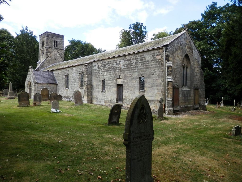
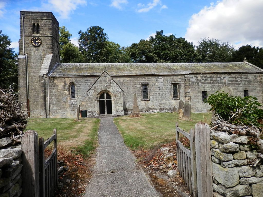
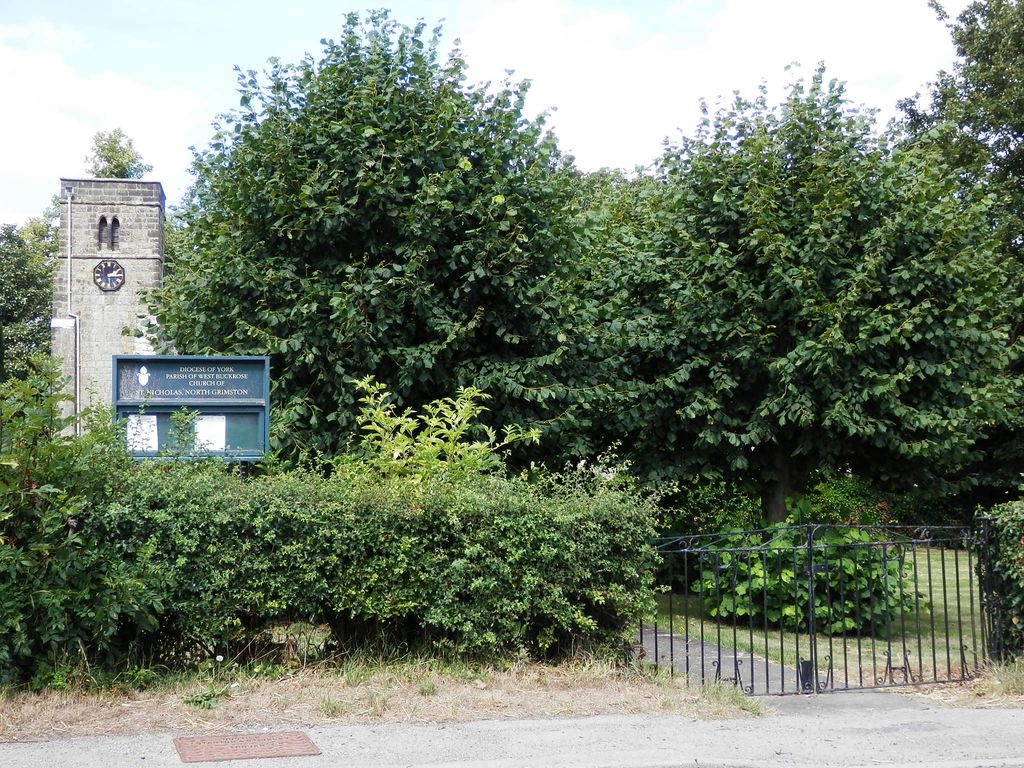
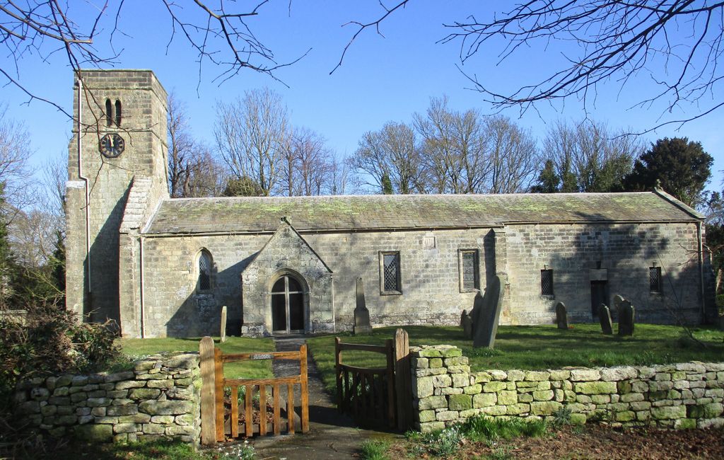
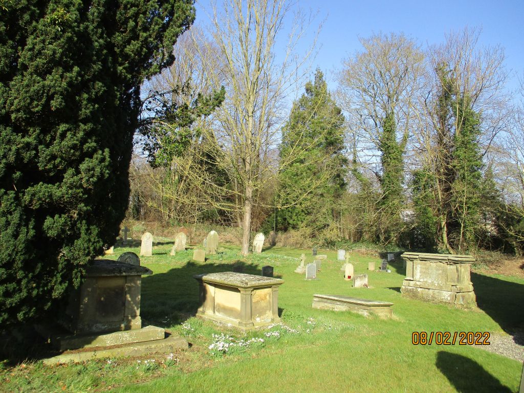
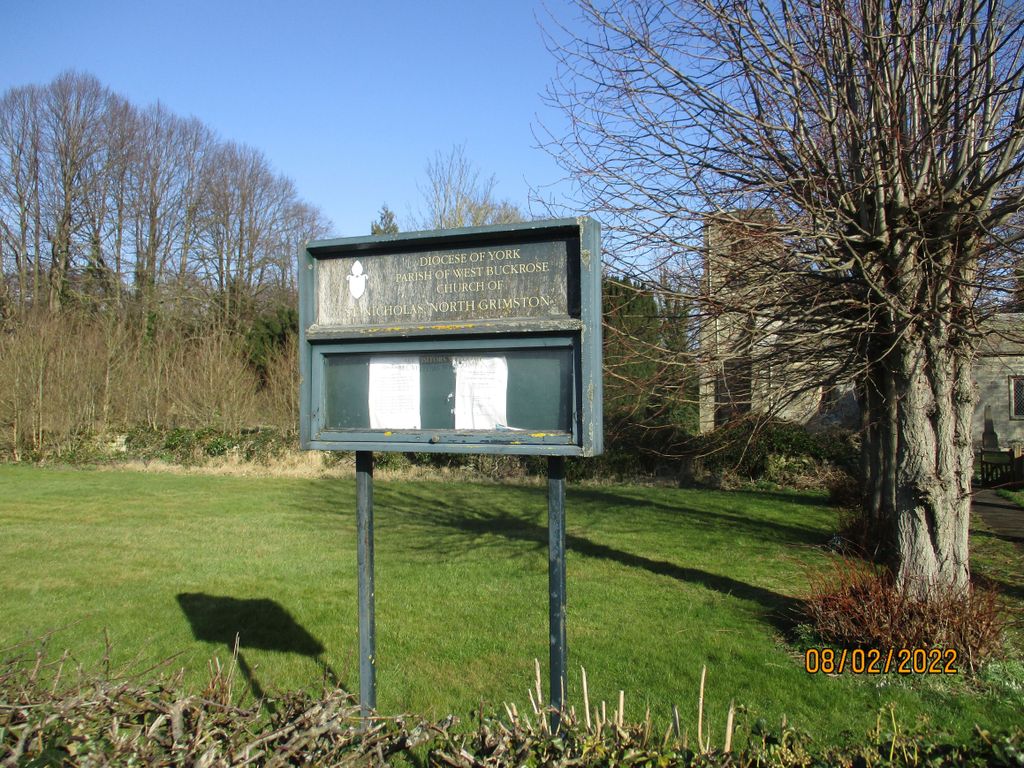
| Description | : | This churchyard is located in the village of North Grimston between Norton-on-Derwent and Wharram-le-Street in the Ryedale District of North Yorkshire. Portions of the church building date from the 12th century, with the baptismal font from Anglo-Saxon times. Parish burial registers from 1669 to 1977 have been deposited with the Borthwick Institute of Historical Research in York. Bishop’s Transcripts of the registers start somewhat earlier. |
frequently asked questions (FAQ):
-
Where is St. Nicholas Churchyard?
St. Nicholas Churchyard is located at North Grimston, Ryedale District ,North Yorkshire ,England.
-
St. Nicholas Churchyard cemetery's updated grave count on graveviews.com?
221 memorials
-
Where are the coordinates of the St. Nicholas Churchyard?
Latitude: 54.0989220
Longitude: -0.7148680
Nearby Cemetories:
1. All Saints Churchyard
Settrington, Ryedale District, England
Coordinate: 54.1212780, -0.7178830
2. St. Mary's Churchyard
Wharram le Street, Ryedale District, England
Coordinate: 54.0820040, -0.6810779
3. Settrington Cemetery
Settrington, Ryedale District, England
Coordinate: 54.1254200, -0.7221700
4. St Mary Churchyard
Birdsall, Ryedale District, England
Coordinate: 54.0780000, -0.7508000
5. St. Martin Churchyard
Wharram Percy, Ryedale District, England
Coordinate: 54.0665700, -0.6901300
6. St Andrew Churchyard
Langton, Ryedale District, England
Coordinate: 54.0934510, -0.7834680
7. Norton Cemetery
Norton, Ryedale District, England
Coordinate: 54.1306400, -0.7834200
8. St Peter Churchyard
Norton, Ryedale District, England
Coordinate: 54.1289040, -0.7861910
9. Burythorpe Churchyard
Burythorpe, Ryedale District, England
Coordinate: 54.0752951, -0.7955984
10. All Saints' Churchyard
Thorpe Bassett, Ryedale District, England
Coordinate: 54.1496503, -0.6875921
11. St. Andrew's Churchyard
Kirby Grindalythe, Ryedale District, England
Coordinate: 54.0955440, -0.6200050
12. St Mary the Virgin Priory Churchyard
Malton, Ryedale District, England
Coordinate: 54.1427520, -0.7786450
13. St. Andrew’s Churchyard Extension
Rillington, Ryedale District, England
Coordinate: 54.1558500, -0.6926500
14. St. Leonard with St. Mary Churchyard
Malton, Ryedale District, England
Coordinate: 54.1348110, -0.7946110
15. Old Malton Cemetery
Malton, Ryedale District, England
Coordinate: 54.1443200, -0.7808900
16. St. Andrew's Churchyard
Rillington, Ryedale District, England
Coordinate: 54.1579700, -0.6959800
17. St. Mary's Churchyard
Thixendale, Ryedale District, England
Coordinate: 54.0387360, -0.7154888
18. Malton Cemetery
Malton, Ryedale District, England
Coordinate: 54.1392670, -0.7980300
19. St Peter Churchyard
Wintringham, Ryedale District, England
Coordinate: 54.1467660, -0.6431680
20. St John the Baptist
Acklam, Ryedale District, England
Coordinate: 54.0451010, -0.8006330
21. St. Mary's Churchyard
Westow, Ryedale District, England
Coordinate: 54.0846190, -0.8406850
22. St. Margaret's Churchyard
Huttons Ambo, Ryedale District, England
Coordinate: 54.1066490, -0.8490640
23. St. Mary's Churchyard
Fimber, East Riding of Yorkshire Unitary Authority, England
Coordinate: 54.0337830, -0.6361950
24. St. Mary's Church Luttons Ambo
West Lutton, Ryedale District, England
Coordinate: 54.1105340, -0.5779463