
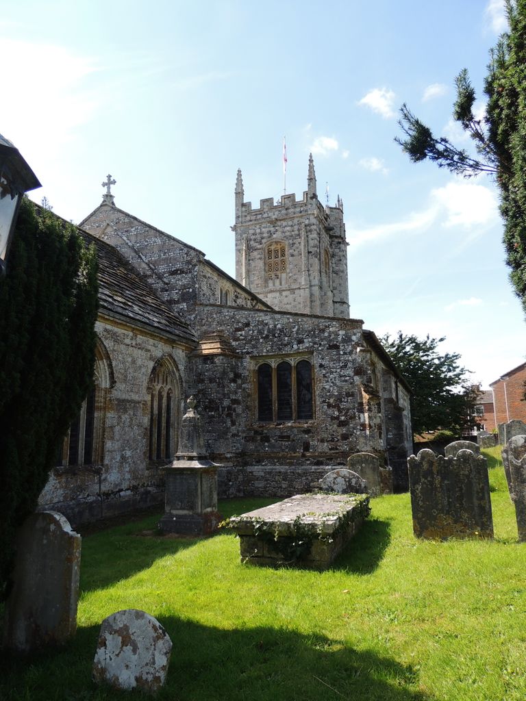
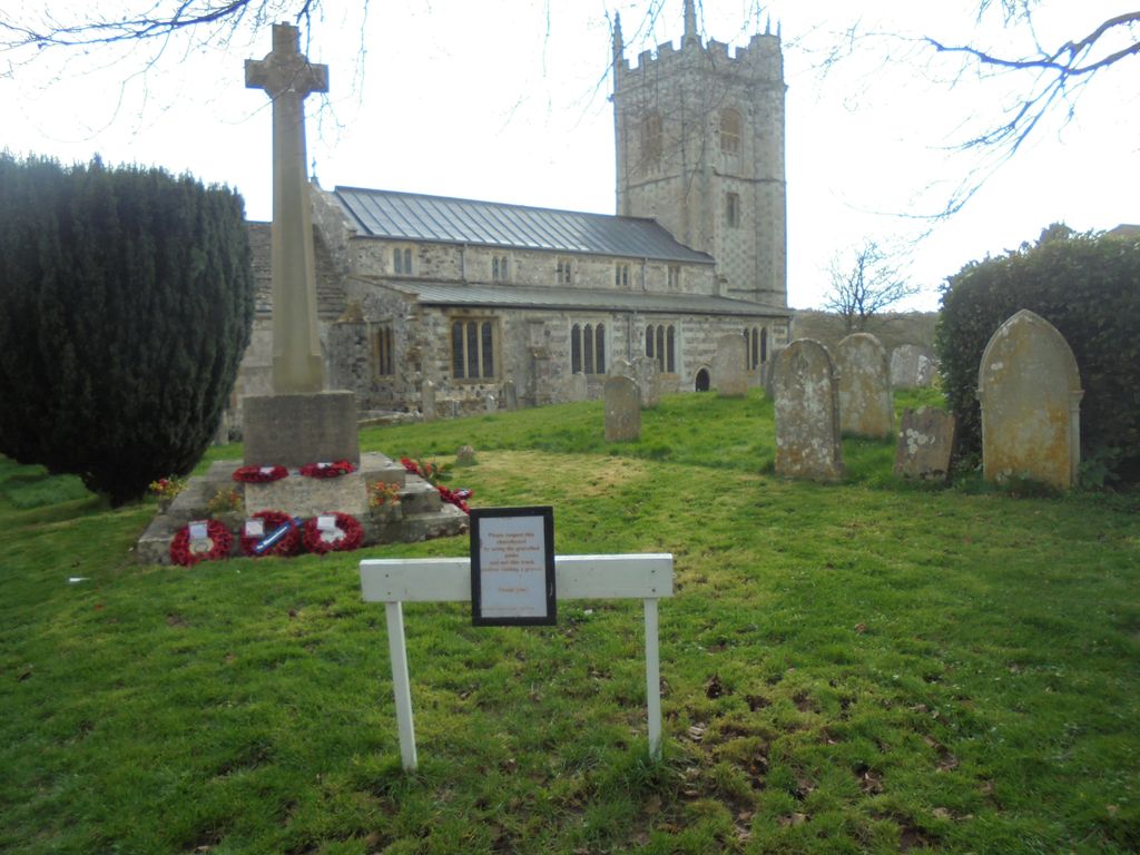
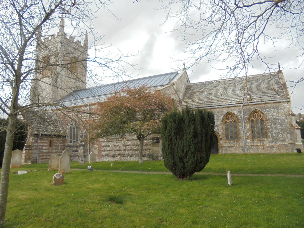
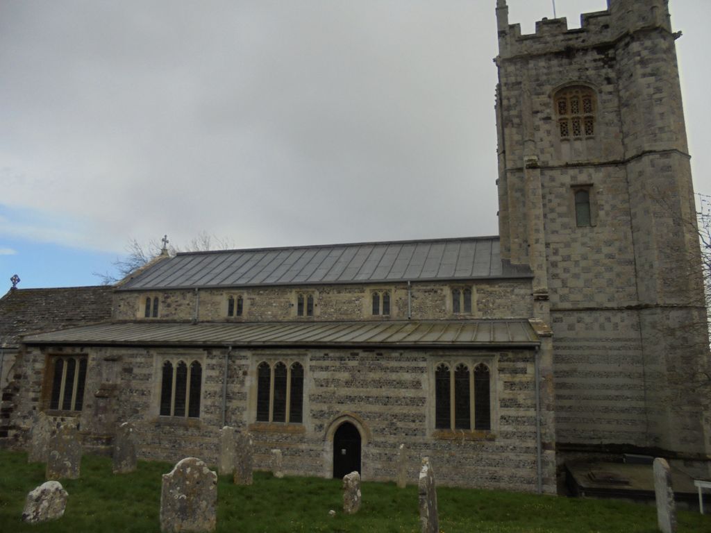
| Memorials | : | 0 |
| Location | : | Bere Regis, Purbeck District, England |
| Coordinate | : | 50.7521368, -2.2177036 |
frequently asked questions (FAQ):
-
Where is St. John The Baptist Churchyard?
St. John The Baptist Churchyard is located at Bere Regis, Purbeck District ,Dorset ,England.
-
St. John The Baptist Churchyard cemetery's updated grave count on graveviews.com?
0 memorials
-
Where are the coordinates of the St. John The Baptist Churchyard?
Latitude: 50.7521368
Longitude: -2.2177036
Nearby Cemetories:
1. St Nicholas Churchyard
Winterborne Kingston, North Dorset District, England
Coordinate: 50.7775960, -2.1967640
2. St. Andrew's Churchyard
Bloxworth, Purbeck District, England
Coordinate: 50.7518333, -2.1706073
3. St Michael's Churchyard
Anderson, North Dorset District, England
Coordinate: 50.7772230, -2.1713490
4. St. Laurence's Churchyard
Affpuddle, Purbeck District, England
Coordinate: 50.7426680, -2.2772280
5. St Andrew's Church
Winterborne Tomson, North Dorset District, England
Coordinate: 50.7762500, -2.1648100
6. St Andrew Churchyard
Milborne St Andrew, North Dorset District, England
Coordinate: 50.7757960, -2.2833520
7. St Mary's Churchyard
Winterborne Whitechurch, North Dorset District, England
Coordinate: 50.8004000, -2.2340000
8. Monkey World
Bovington Camp, Purbeck District, England
Coordinate: 50.6994813, -2.2169029
9. St. Mary's Churchyard
Winterborne Zelston, North Dorset District, England
Coordinate: 50.7786950, -2.1445870
10. St Mary's Church
East Morden, Purbeck District, England
Coordinate: 50.7597770, -2.1200990
11. St Nicholas Churchyard
Moreton, Purbeck District, England
Coordinate: 50.7023040, -2.2786470
12. Moreton Cemetery
Moreton, Purbeck District, England
Coordinate: 50.7024300, -2.2790900
13. St. Mary's Churchyard
Almer, North Dorset District, England
Coordinate: 50.7898010, -2.1246600
14. All Saints Churchyard
Dewlish, West Dorset District, England
Coordinate: 50.7827870, -2.3202580
15. Bindon Abbey Graveyard
Wool, Purbeck District, England
Coordinate: 50.6802430, -2.2097550
16. St. Mary's Churchyard
East Stoke, Purbeck District, England
Coordinate: 50.6830000, -2.1818000
17. St James' Churchyard
Milton Abbas, North Dorset District, England
Coordinate: 50.8152850, -2.2760600
18. Holy Rood Churchyard
Wool, Purbeck District, England
Coordinate: 50.6774970, -2.2169630
19. Charborough Church of St Mary
Morden, Purbeck District, England
Coordinate: 50.7803200, -2.1074500
20. St. Mary's Churchyard
Lytchett Matravers, Purbeck District, England
Coordinate: 50.7698920, -2.0954700
21. St. Mary the Virgin Churchyard
Puddletown, West Dorset District, England
Coordinate: 50.7484670, -2.3434700
22. Milton Abbey
Milton Abbas, North Dorset District, England
Coordinate: 50.8198430, -2.2876720
23. St. Mary's Churchyard
Winterborne Stickland, North Dorset District, England
Coordinate: 50.8406500, -2.2361600
24. Hill View Cemetery
Wareham, Purbeck District, England
Coordinate: 50.6828550, -2.1266310