| Memorials | : | 18 |
| Location | : | East Stoke, Purbeck District, England |
| Coordinate | : | 50.6830000, -2.1818000 |
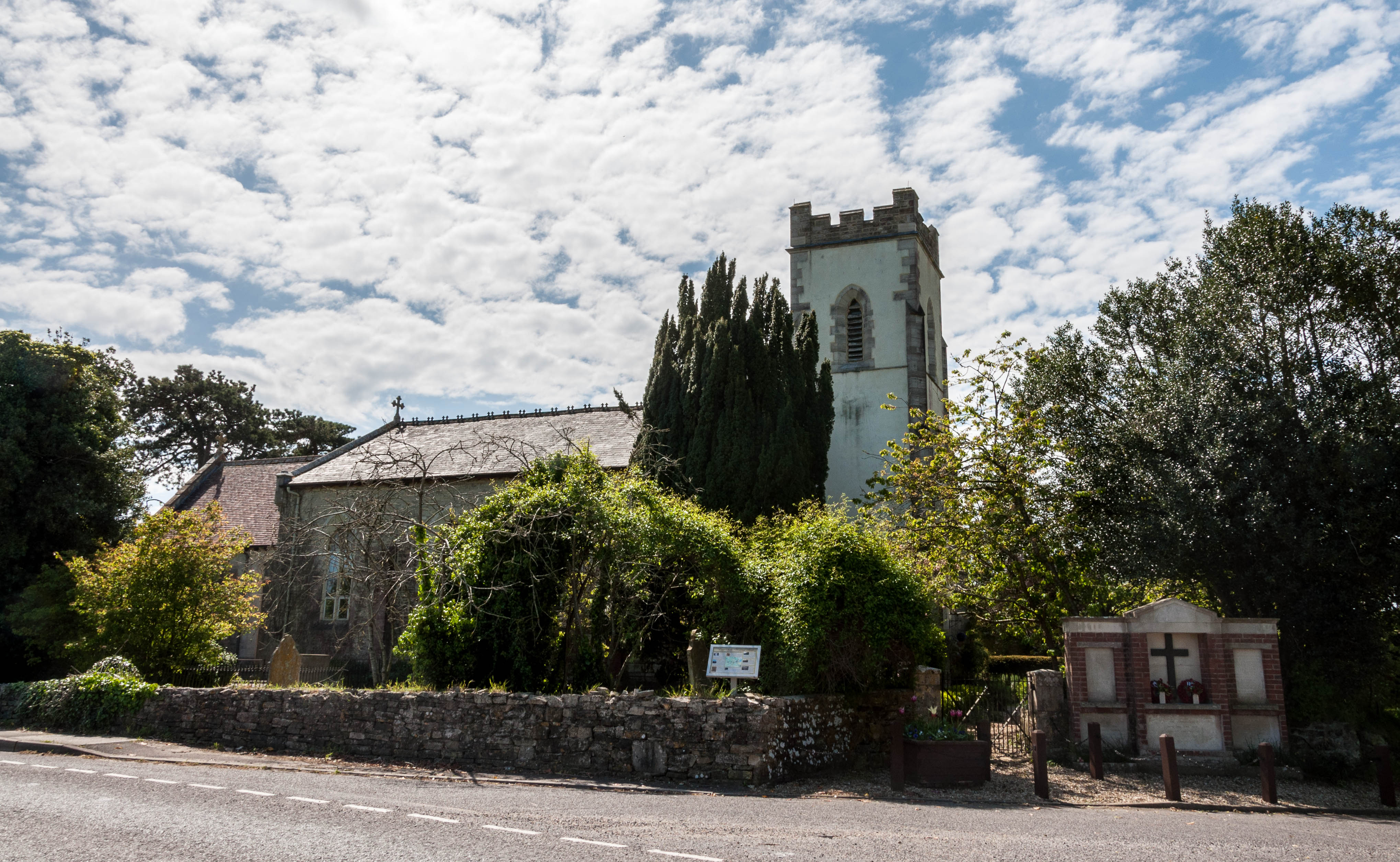
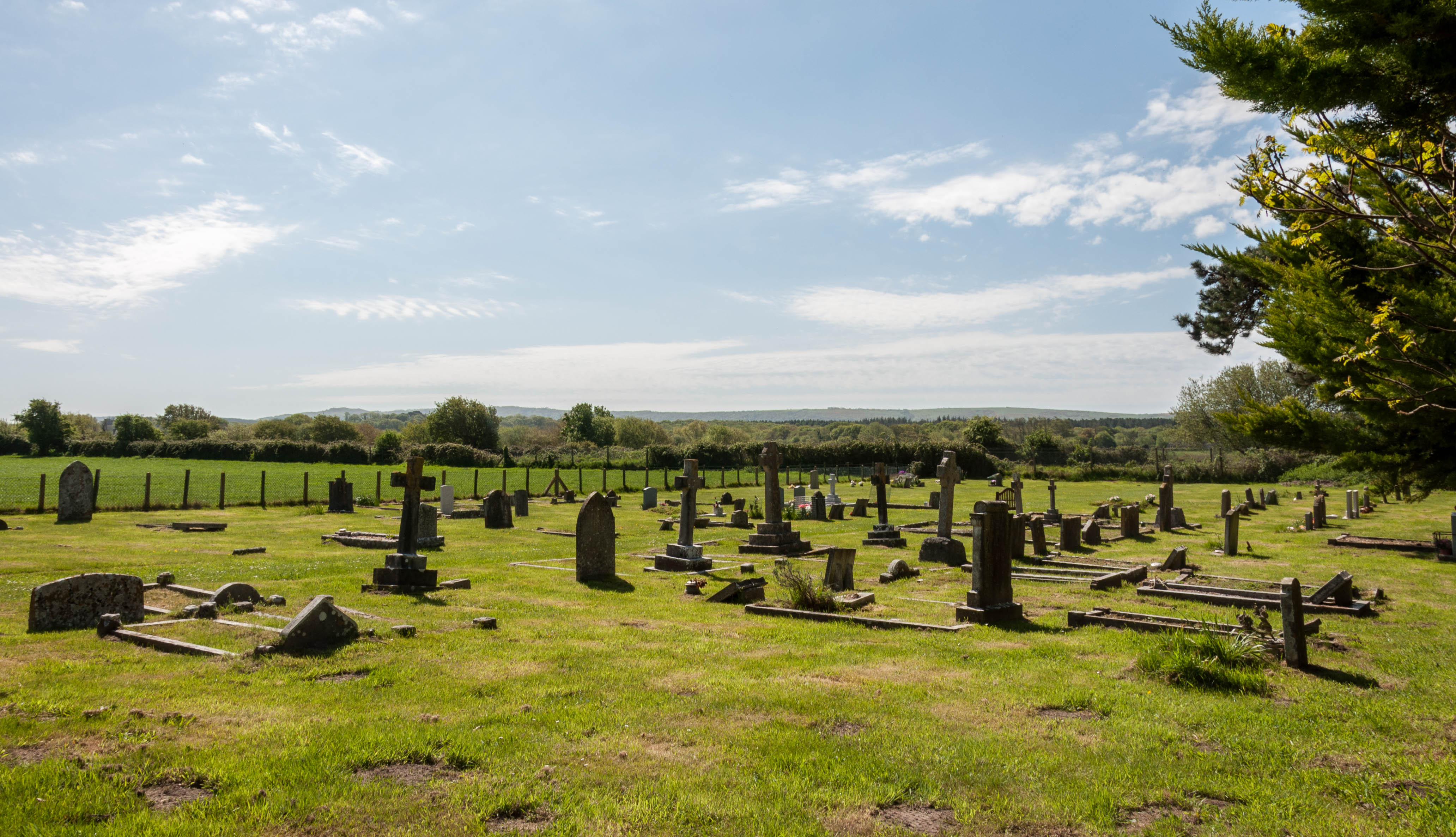
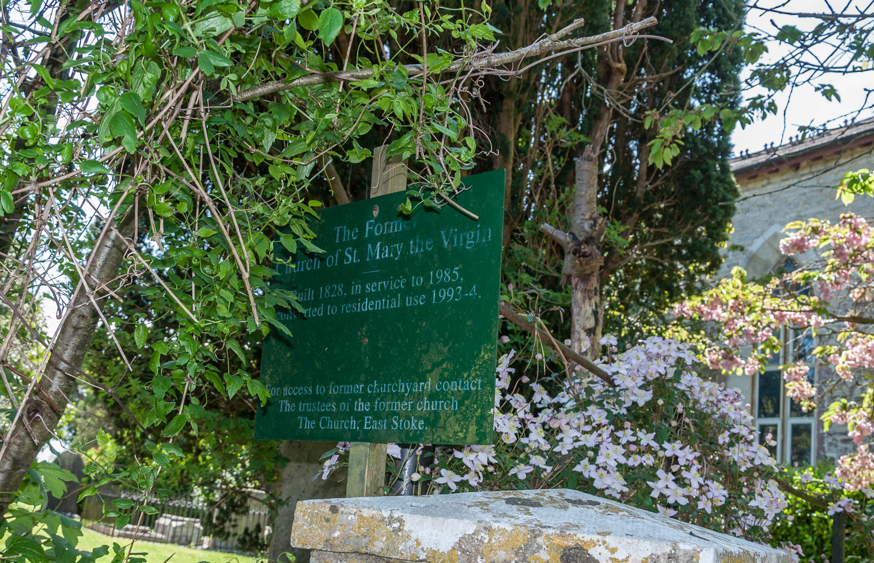
| Description | : | Built around 1828 to replace the original 13th century Church of St. Mary on the flood planes and which now only a few foundation stones remain. ***This church has now been converted into a domestic dwelling of three units and access to the old burial ground is restricted, as it forms part of the gardens for the homes. As such, it appears that most of the headstones within this "garden" section have now been removed. What has become of them is unknown. The extension burial ground beyond the perimeter wall is unrestricted and easily accessible via a gate just beyond the perimeter... Read More |
frequently asked questions (FAQ):
-
Where is St. Mary's Churchyard?
St. Mary's Churchyard is located at A352 Wareham Road (south side) East Stoke, Purbeck District ,Dorset , BH20 6HJEngland.
-
St. Mary's Churchyard cemetery's updated grave count on graveviews.com?
18 memorials
-
Where are the coordinates of the St. Mary's Churchyard?
Latitude: 50.6830000
Longitude: -2.1818000
Nearby Cemetories:
1. Bindon Abbey Graveyard
Wool, Purbeck District, England
Coordinate: 50.6802430, -2.2097550
2. Holy Rood Churchyard
Wool, Purbeck District, England
Coordinate: 50.6774970, -2.2169630
3. St. John the Evangelist
East Holme, Purbeck District, England
Coordinate: 50.6730910, -2.1440880
4. Monkey World
Bovington Camp, Purbeck District, England
Coordinate: 50.6994813, -2.2169029
5. Hill View Cemetery
Wareham, Purbeck District, England
Coordinate: 50.6828550, -2.1266310
6. St Martin-on-the-Walls
Wareham, Purbeck District, England
Coordinate: 50.6888000, -2.1115000
7. Lulworth Castle Chapel
East Lulworth, Purbeck District, England
Coordinate: 50.6399070, -2.2099960
8. Lady St Mary Churchyard
Wareham, Purbeck District, England
Coordinate: 50.6843130, -2.1077420
9. United Reformed Churchyard
Wareham, Purbeck District, England
Coordinate: 50.6860338, -2.1078591
10. Wareham Cemetery
Wareham, Purbeck District, England
Coordinate: 50.6848600, -2.1066320
11. St. Andrew's Parish Church
East Lulworth, Purbeck District, England
Coordinate: 50.6381750, -2.2081720
12. St Mary's Churchyard
Tyneham, Purbeck District, England
Coordinate: 50.6230090, -2.1689980
13. St Nicholas Churchyard
Moreton, Purbeck District, England
Coordinate: 50.7023040, -2.2786470
14. Moreton Cemetery
Moreton, Purbeck District, England
Coordinate: 50.7024300, -2.2790900
15. St. Christopher's Churchyard
Winfrith Newburgh, Purbeck District, England
Coordinate: 50.6585210, -2.2768930
16. St. Michael's and All Angels Churchyard
Steeple, Purbeck District, England
Coordinate: 50.6277090, -2.1267040
17. St. Andrew's Churchyard
Bloxworth, Purbeck District, England
Coordinate: 50.7518333, -2.1706073
18. West Lulworth Old Churchyard
West Lulworth, Purbeck District, England
Coordinate: 50.6261650, -2.2468550
19. Holy Trinity Churchyard
West Lulworth, Purbeck District, England
Coordinate: 50.6263000, -2.2515000
20. St. John The Baptist Churchyard
Bere Regis, Purbeck District, England
Coordinate: 50.7521368, -2.2177036
21. Kimmeridge Churchyard
Kimmeridge, Purbeck District, England
Coordinate: 50.6192291, -2.1187155
22. St Peter's Churchyard Church Knowle
Church Knowle, Purbeck District, England
Coordinate: 50.6370800, -2.0851140
23. St Nicholas Churchyard
Chaldon Herring, Purbeck District, England
Coordinate: 50.6473100, -2.2983330
24. St. Laurence's Churchyard
Affpuddle, Purbeck District, England
Coordinate: 50.7426680, -2.2772280


