
| Memorials | : | 0 |
| Location | : | Lytchett Matravers, Purbeck District, England |
| Coordinate | : | 50.7698920, -2.0954700 |
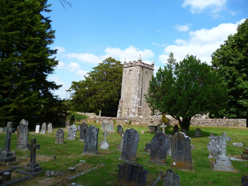
| Description | : | St Mary the Virgin Church and cemetery are on the outskirts of Lytchett Matravers about a mile north on the Colehill Road in Dorset, England. |
frequently asked questions (FAQ):
-
Where is St. Mary's Churchyard?
St. Mary's Churchyard is located at Lytchett Matravers, Purbeck District ,Dorset ,England.
-
St. Mary's Churchyard cemetery's updated grave count on graveviews.com?
0 memorials
-
Where are the coordinates of the St. Mary's Churchyard?
Latitude: 50.7698920
Longitude: -2.0954700


Nearby Cemetories:
1. Charborough Church of St Mary
Morden, Purbeck District, England
Coordinate: 50.7803200, -2.1074500
2. St Mary's Church
East Morden, Purbeck District, England
Coordinate: 50.7597770, -2.1200990
3. St. Mary's Churchyard
Almer, North Dorset District, England
Coordinate: 50.7898010, -2.1246600
4. St. Mary's Churchyard
Winterborne Zelston, North Dorset District, England
Coordinate: 50.7786950, -2.1445870
5. St. Mary's Churchyard
Sturminster Marshall, East Dorset District, England
Coordinate: 50.8031270, -2.0709410
6. Harbour View Woodland Burial Ground
Lytchett Minster, Purbeck District, England
Coordinate: 50.7507040, -2.0434430
7. Lytchett Minster Parish Churchyard
Lytchett Minster, Purbeck District, England
Coordinate: 50.7372870, -2.0573970
8. Lytchett Minster United Reformed Church
Lytchett Minster, Purbeck District, England
Coordinate: 50.7346300, -2.0622130
9. Corfe Mullen Church Cemetery
Corfe Mullen, East Dorset District, England
Coordinate: 50.7848260, -2.0344940
10. St Andrew's Church
Winterborne Tomson, North Dorset District, England
Coordinate: 50.7762500, -2.1648100
11. Shapwick Parish Churchyard
Shapwick, East Dorset District, England
Coordinate: 50.8147360, -2.0914850
12. Upton Cemetery
Upton, Purbeck District, England
Coordinate: 50.7436900, -2.0348970
13. St Michael's Churchyard
Anderson, North Dorset District, England
Coordinate: 50.7772230, -2.1713490
14. Corfe Mullen Cemetery
Corfe Mullen, East Dorset District, England
Coordinate: 50.7787500, -2.0177600
15. St. Andrew's Churchyard
Bloxworth, Purbeck District, England
Coordinate: 50.7518333, -2.1706073
16. St John the Baptist Churchyard
Spetisbury, North Dorset District, England
Coordinate: 50.8258000, -2.1300000
17. St Mary The Virgin Churchyard
Tarrant Crawford, North Dorset District, England
Coordinate: 50.8307290, -2.1107000
18. St Nicholas Churchyard
Winterborne Kingston, North Dorset District, England
Coordinate: 50.7775960, -2.1967640
19. St John the Baptist Churchyard
Broadstone, Poole Unitary Authority, England
Coordinate: 50.7620490, -1.9933870
20. All Saints Churchyard
Tarrant Keyneston, North Dorset District, England
Coordinate: 50.8359850, -2.1074200
21. Broadstone Cemetery
Broadstone, Poole Unitary Authority, England
Coordinate: 50.7651160, -1.9829030
22. Wimborne Cemetery
Wimborne, East Dorset District, England
Coordinate: 50.8040910, -1.9942650
23. St Mary the Virgin Churchyard
Charlton Marshall, North Dorset District, England
Coordinate: 50.8360900, -2.1427800
24. St. Michael's Churchyard
Hamworthy, Poole Unitary Authority, England
Coordinate: 50.7199660, -2.0099190