
| Memorials | : | 0 |
| Location | : | Wool, Purbeck District, England |
| Coordinate | : | 50.6774970, -2.2169630 |
frequently asked questions (FAQ):
-
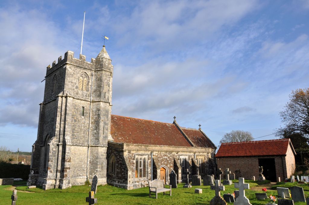
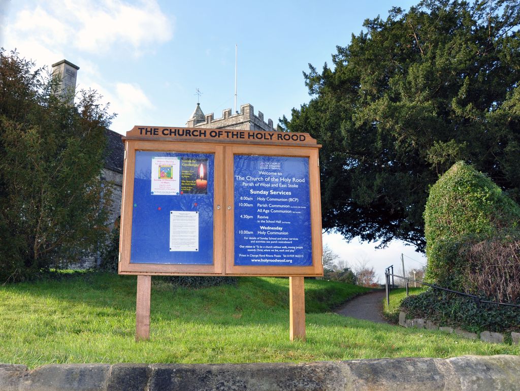
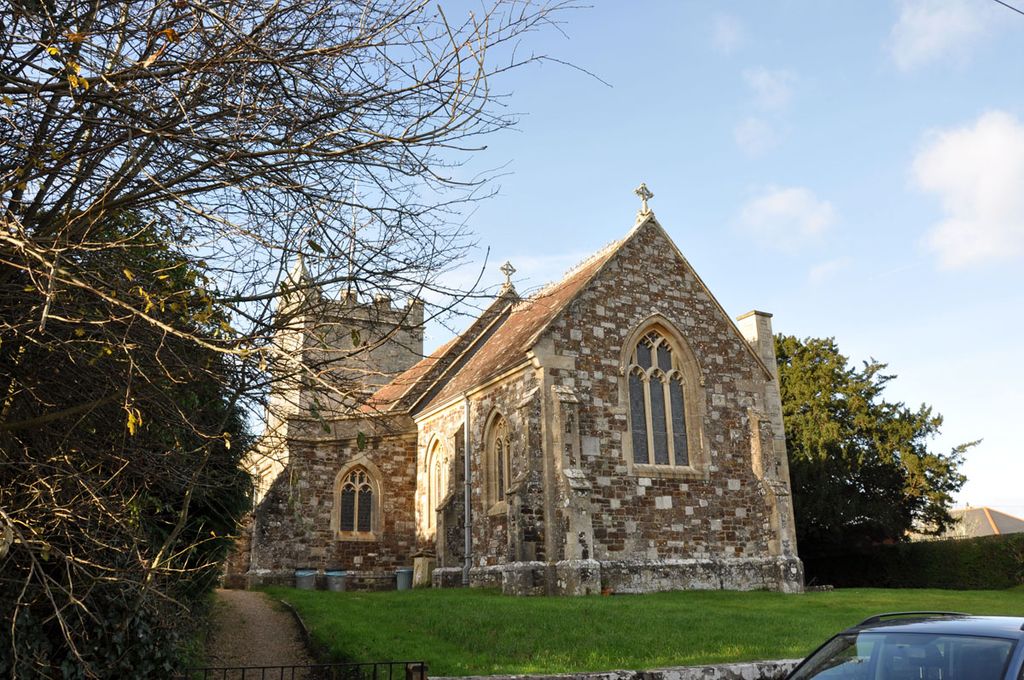
Where is Holy Rood Churchyard?
Holy Rood Churchyard is located at Wool, Purbeck District ,Dorset ,England.
-
Holy Rood Churchyard cemetery's updated grave count on graveviews.com?
0 memorials
-
Where are the coordinates of the Holy Rood Churchyard?
Latitude: 50.6774970
Longitude: -2.2169630
Nearby Cemetories:
1. Bindon Abbey Graveyard
Wool, Purbeck District, England
Coordinate: 50.6802430, -2.2097550
2. Monkey World
Bovington Camp, Purbeck District, England
Coordinate: 50.6994813, -2.2169029
3. St. Mary's Churchyard
East Stoke, Purbeck District, England
Coordinate: 50.6830000, -2.1818000
4. Lulworth Castle Chapel
East Lulworth, Purbeck District, England
Coordinate: 50.6399070, -2.2099960
5. St. Andrew's Parish Church
East Lulworth, Purbeck District, England
Coordinate: 50.6381750, -2.2081720
6. St. Christopher's Churchyard
Winfrith Newburgh, Purbeck District, England
Coordinate: 50.6585210, -2.2768930
7. St Nicholas Churchyard
Moreton, Purbeck District, England
Coordinate: 50.7023040, -2.2786470
8. St. John the Evangelist
East Holme, Purbeck District, England
Coordinate: 50.6730910, -2.1440880
9. Moreton Cemetery
Moreton, Purbeck District, England
Coordinate: 50.7024300, -2.2790900
10. West Lulworth Old Churchyard
West Lulworth, Purbeck District, England
Coordinate: 50.6261650, -2.2468550
11. Holy Trinity Churchyard
West Lulworth, Purbeck District, England
Coordinate: 50.6263000, -2.2515000
12. Hill View Cemetery
Wareham, Purbeck District, England
Coordinate: 50.6828550, -2.1266310
13. St Nicholas Churchyard
Chaldon Herring, Purbeck District, England
Coordinate: 50.6473100, -2.2983330
14. St Mary's Churchyard
Tyneham, Purbeck District, England
Coordinate: 50.6230090, -2.1689980
15. St Martin-on-the-Walls
Wareham, Purbeck District, England
Coordinate: 50.6888000, -2.1115000
16. Lady St Mary Churchyard
Wareham, Purbeck District, England
Coordinate: 50.6843130, -2.1077420
17. United Reformed Churchyard
Wareham, Purbeck District, England
Coordinate: 50.6860338, -2.1078591
18. Wareham Cemetery
Wareham, Purbeck District, England
Coordinate: 50.6848600, -2.1066320
19. St. Michael's Church
Owermoigne, West Dorset District, England
Coordinate: 50.6671120, -2.3284310
20. St. John The Baptist Churchyard
Bere Regis, Purbeck District, England
Coordinate: 50.7521368, -2.2177036
21. St. Laurence's Churchyard
Affpuddle, Purbeck District, England
Coordinate: 50.7426680, -2.2772280
22. St. Michael's and All Angels Churchyard
Steeple, Purbeck District, England
Coordinate: 50.6277090, -2.1267040
23. St. Andrew's Churchyard
Bloxworth, Purbeck District, England
Coordinate: 50.7518333, -2.1706073
24. Kimmeridge Churchyard
Kimmeridge, Purbeck District, England
Coordinate: 50.6192291, -2.1187155