
| Memorials | : | 2 |
| Location | : | Hornby, City of Lancaster, England |
| Coordinate | : | 54.1114000, -2.6362000 |
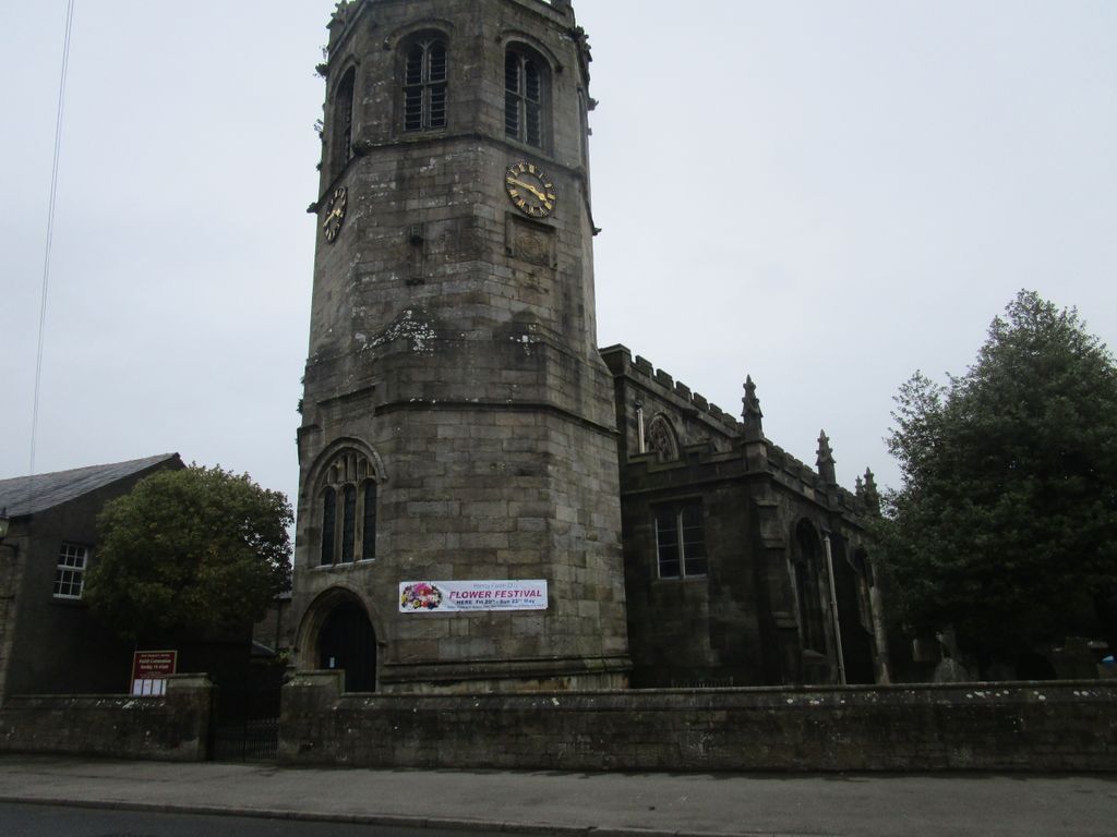
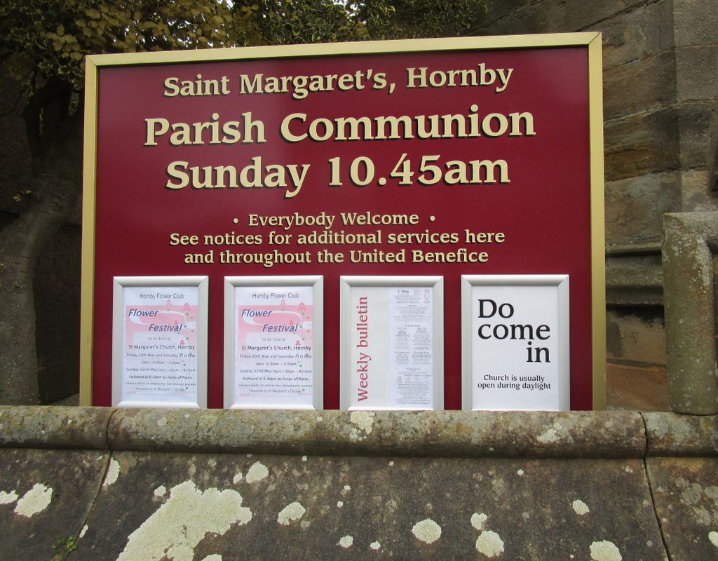
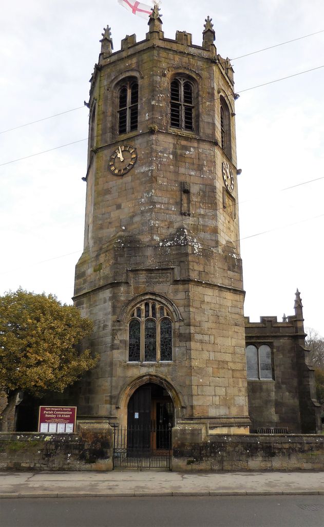
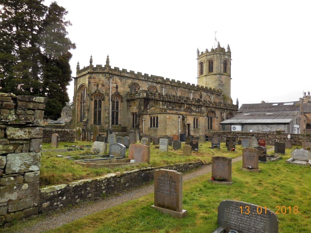
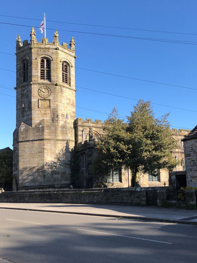
| Description | : | Anglican parish church in the diocese of Blackburn, the archdeaconry of Lancaster and the deanery of Tunstall. Its stipends are combined with those of St Michael, Whittington, St John, Arkholme, and St John, Gressingham. the church dates back to 1338 and the tower was built by Sir Edward Stanley, Lord Mounteagle in 1514. |
frequently asked questions (FAQ):
-
Where is St. Margaret's Churchyard?
St. Margaret's Churchyard is located at Main Street Hornby, City of Lancaster ,Lancashire ,England.
-
St. Margaret's Churchyard cemetery's updated grave count on graveviews.com?
2 memorials
-
Where are the coordinates of the St. Margaret's Churchyard?
Latitude: 54.1114000
Longitude: -2.6362000
Nearby Cemetories:
1. St. Wilfred Priory
Hornby, City of Lancaster, England
Coordinate: 54.1143640, -2.6405490
2. St. John The Evangelist Churchyard
Gressingham, City of Lancaster, England
Coordinate: 54.1233910, -2.6557800
3. Holy Trinity Churchyard
Wray, City of Lancaster, England
Coordinate: 54.1022960, -2.6081510
4. St James the Less Churchyard
Tatham, City of Lancaster, England
Coordinate: 54.1190100, -2.6043200
5. St. Chad's Churchyard
Claughton, City of Lancaster, England
Coordinate: 54.0931310, -2.6643990
6. St Wilfrids Churchyard
Melling, City of Lancaster, England
Coordinate: 54.1346900, -2.6165100
7. St John The Baptist Churchyard
Arkholme, City of Lancaster, England
Coordinate: 54.1406220, -2.6307800
8. St. Saviour's Church
Halton, City of Lancaster, England
Coordinate: 54.1025610, -2.6891750
9. St. Paul Churchyard
Caton, City of Lancaster, England
Coordinate: 54.0757840, -2.7009980
10. St. John the Baptist Churchyard
Bentham, Craven District, England
Coordinate: 54.1180880, -2.5454540
11. St John The Baptist Churchyard
Tunstall, City of Lancaster, England
Coordinate: 54.1596600, -2.5924200
12. St Cuthbert Churchyard
Over Kellet, City of Lancaster, England
Coordinate: 54.1195480, -2.7318200
13. Friends Burial Group
Bentham, Craven District, England
Coordinate: 54.1265450, -2.5374290
14. All Saints Churchyard
Burton-in-Lonsdale, Craven District, England
Coordinate: 54.1437630, -2.5357130
15. Church of the Good Shepherd Churchyard
Tatham, City of Lancaster, England
Coordinate: 54.0830170, -2.5301250
16. St. Michael the Archangel Churchyard
Whittington, City of Lancaster, England
Coordinate: 54.1807620, -2.6148790
17. Nether Kellet Congregational Church
Nether Kellet, City of Lancaster, England
Coordinate: 54.1070772, -2.7587630
18. Carnforth Cemetery
Carnforth, City of Lancaster, England
Coordinate: 54.1245420, -2.7587820
19. St Margaret Churchyard
Bentham, Craven District, England
Coordinate: 54.1146000, -2.5087300
20. St Wilfrid's Churchyard
Halton, City of Lancaster, England
Coordinate: 54.0759400, -2.7672600
21. St. Oswald Churchyard
Warton, City of Lancaster, England
Coordinate: 54.1443660, -2.7694120
22. Saint Mary's Churchyard
Yealand Conyers, City of Lancaster, England
Coordinate: 54.1604400, -2.7612900
23. Saint Peter's Churchyard
Leck, City of Lancaster, England
Coordinate: 54.1836860, -2.5485980
24. St James Churchyard
Burton-in-Kendal, South Lakeland District, England
Coordinate: 54.1859270, -2.7210310