
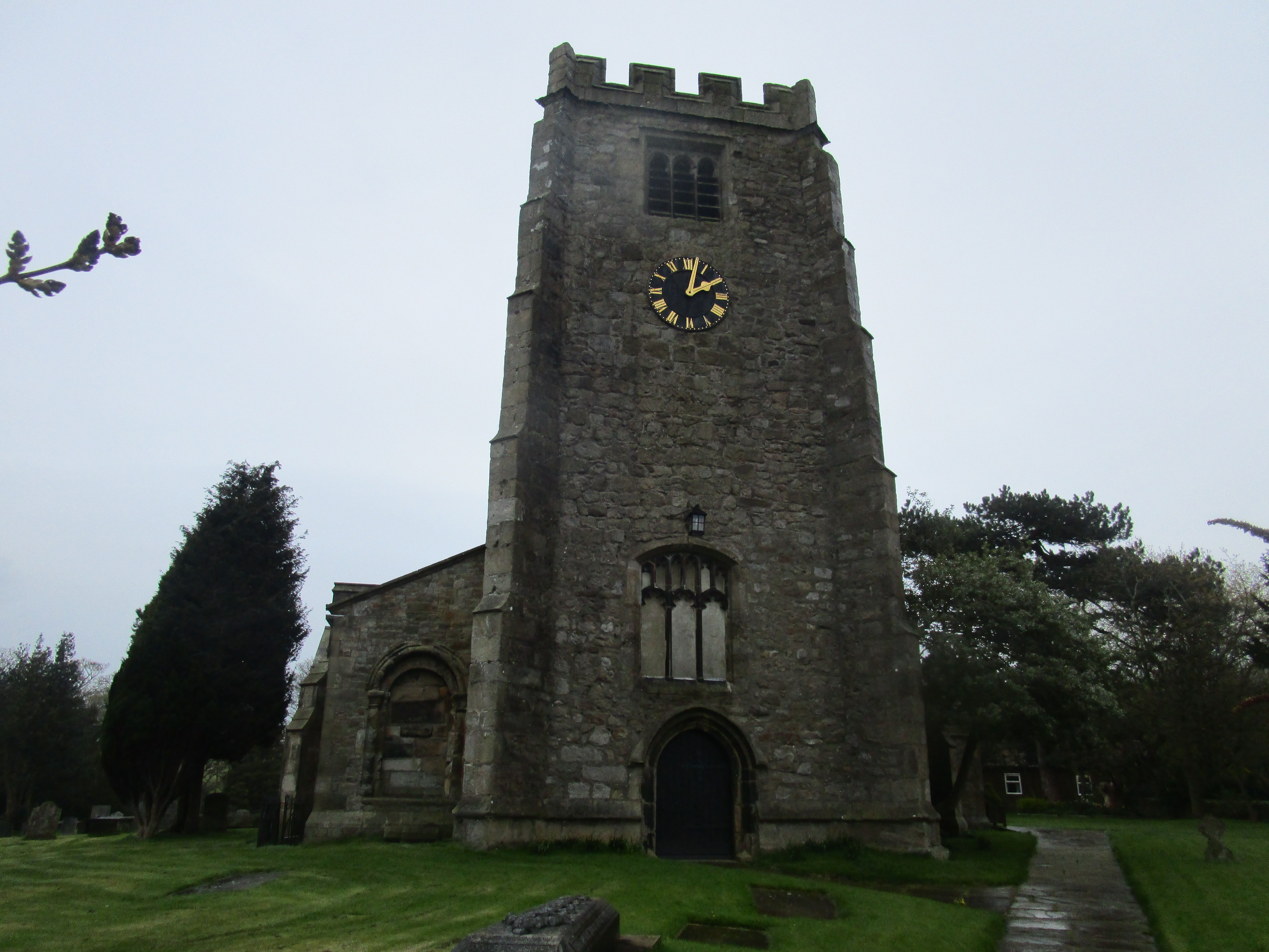
| Memorials | : | 72 |
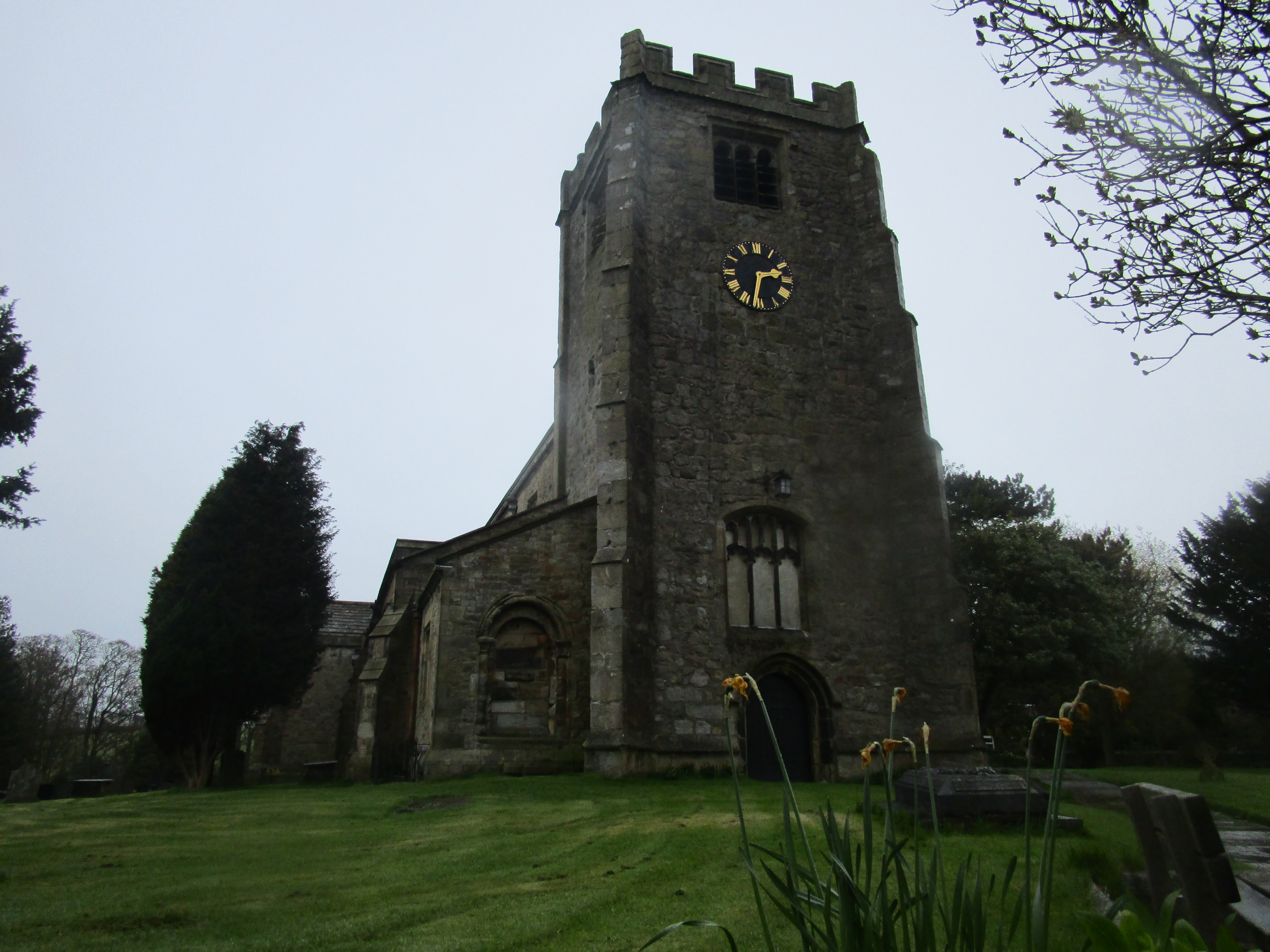
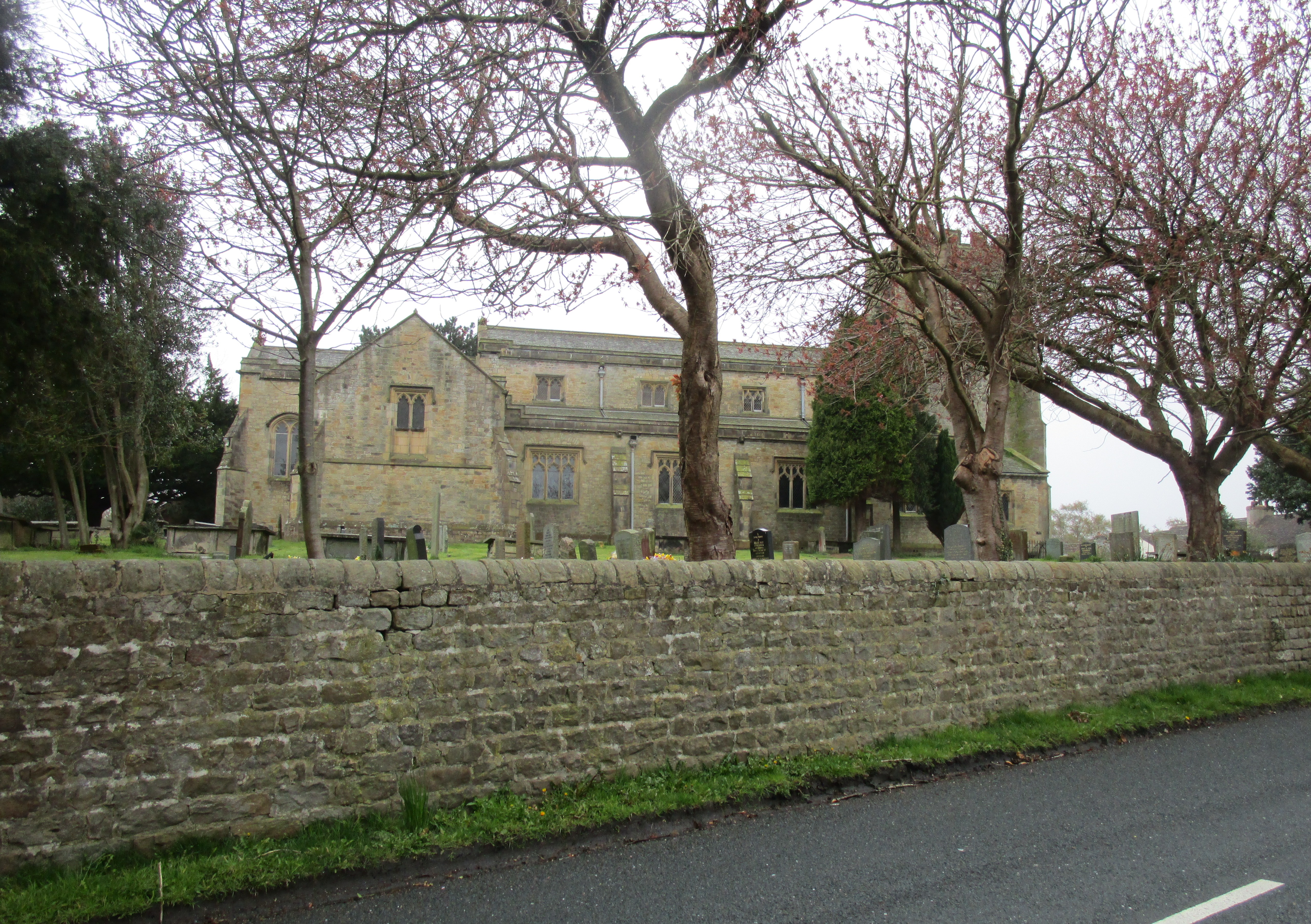
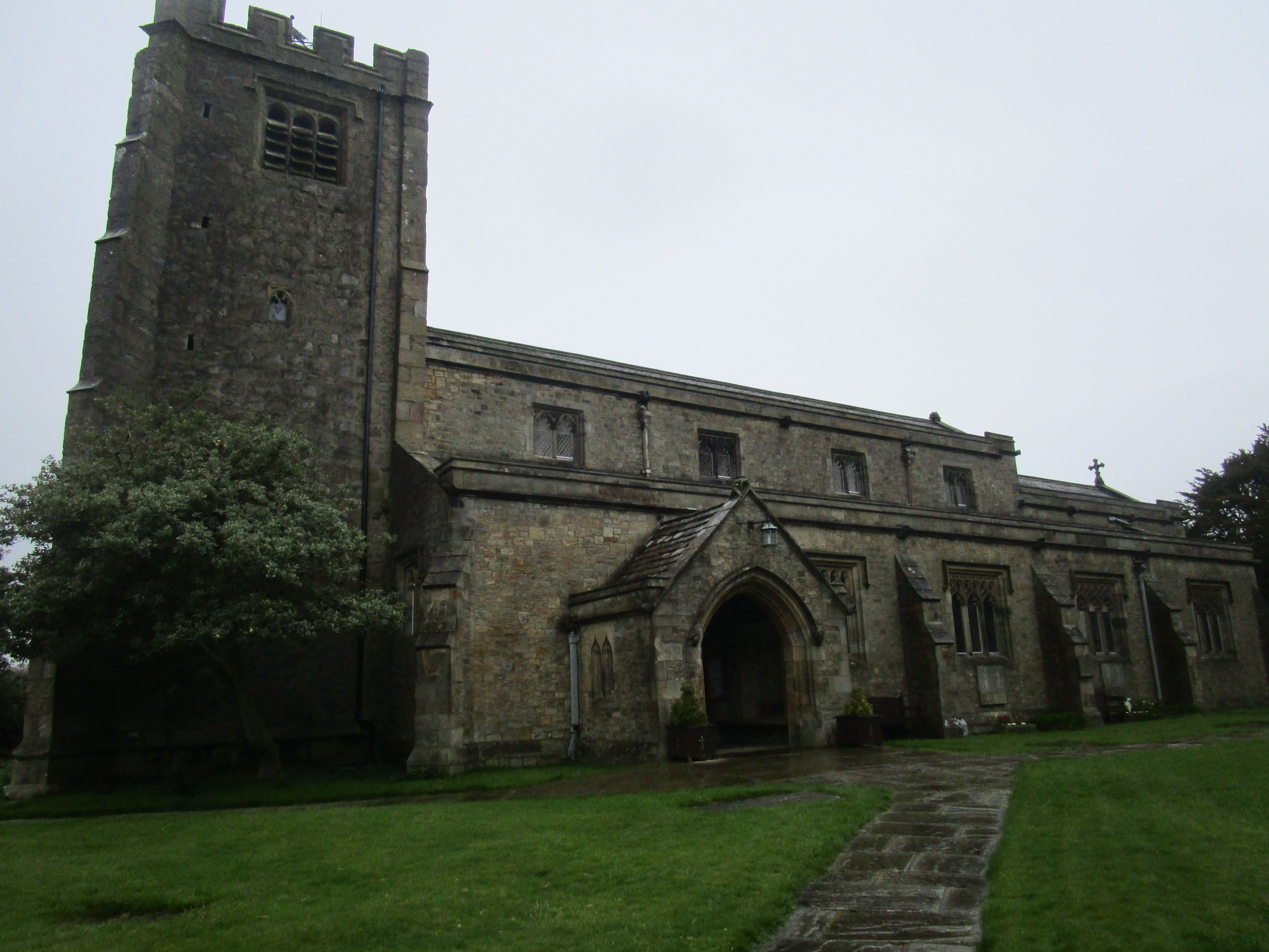
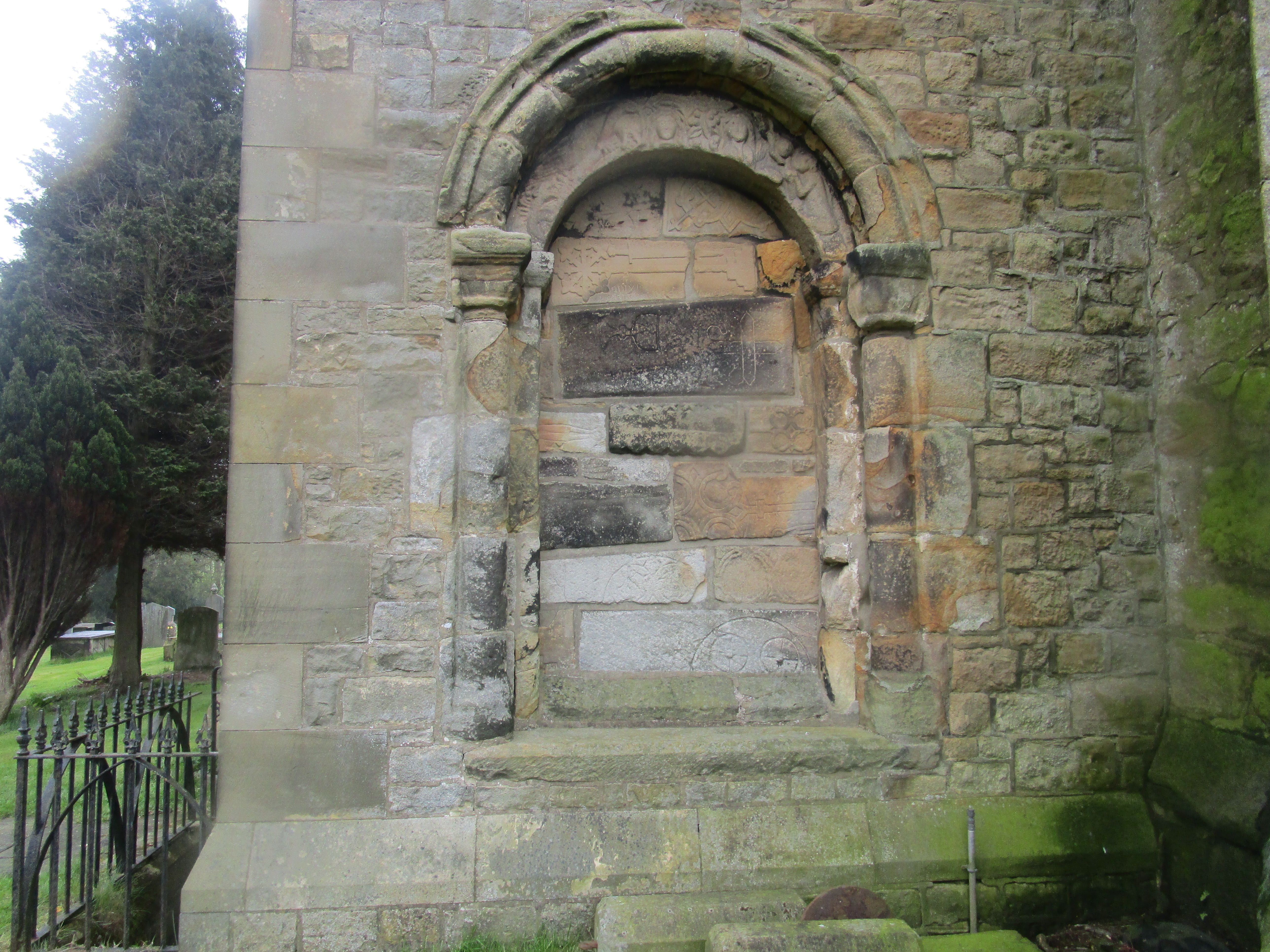
| Location | : | Caton, City of Lancaster, England |
| Coordinate | : | 54.0757840, -2.7009980 |
frequently asked questions (FAQ):
-
Where is St. Paul Churchyard?
St. Paul Churchyard is located at Caton, City of Lancaster ,Lancashire ,England.
-
St. Paul Churchyard cemetery's updated grave count on graveviews.com?
15 memorials
-
Where are the coordinates of the St. Paul Churchyard?
Latitude: 54.0757840
Longitude: -2.7009980
Nearby Cemetories:
1. St. Chad's Churchyard
Claughton, City of Lancaster, England
Coordinate: 54.0931310, -2.6643990
2. St. Saviour's Church
Halton, City of Lancaster, England
Coordinate: 54.1025610, -2.6891750
3. St Wilfrid's Churchyard
Halton, City of Lancaster, England
Coordinate: 54.0759400, -2.7672600
4. St Peter's Churchyard
Quernmore, City of Lancaster, England
Coordinate: 54.0367200, -2.7375400
5. Nether Kellet Congregational Church
Nether Kellet, City of Lancaster, England
Coordinate: 54.1070772, -2.7587630
6. St Cuthbert Churchyard
Over Kellet, City of Lancaster, England
Coordinate: 54.1195480, -2.7318200
7. Lancaster Cemetery
Lancaster, City of Lancaster, England
Coordinate: 54.0504210, -2.7768760
8. St. Margaret's Churchyard
Hornby, City of Lancaster, England
Coordinate: 54.1114000, -2.6362000
9. St. Wilfred Priory
Hornby, City of Lancaster, England
Coordinate: 54.1143640, -2.6405490
10. Quernmore Methodist Churchyard
Quernmore, City of Lancaster, England
Coordinate: 54.0259440, -2.7361400
11. St. John The Evangelist Churchyard
Gressingham, City of Lancaster, England
Coordinate: 54.1233910, -2.6557800
12. Skerton Cemetery
Lancaster, City of Lancaster, England
Coordinate: 54.0651430, -2.7951140
13. Slyne Cemetery
Slyne, City of Lancaster, England
Coordinate: 54.0868185, -2.7969423
14. Carnforth Cemetery
Carnforth, City of Lancaster, England
Coordinate: 54.1245420, -2.7587820
15. Holy Trinity Churchyard
Bolton-le-Sands, City of Lancaster, England
Coordinate: 54.1027700, -2.7911700
16. Christ Church United Reform Church
Bolton-le-Sands, City of Lancaster, England
Coordinate: 54.1015860, -2.7929000
17. Saint Luke's Parish Churchyard
Skerton, City of Lancaster, England
Coordinate: 54.0564700, -2.7982600
18. Holy Trinity Churchyard
Wray, City of Lancaster, England
Coordinate: 54.1022960, -2.6081510
19. Cathedral Cemetery of Lancaster
Lancaster, City of Lancaster, England
Coordinate: 54.0471170, -2.7942920
20. St. John the Evangelist Churchyard
Lancaster, City of Lancaster, England
Coordinate: 54.0504000, -2.7990000
21. St. Nicholas Street Chapel Churchyard
Lancaster, City of Lancaster, England
Coordinate: 54.0486900, -2.7987900
22. Mount Street Congregational Chapel
Lancaster, City of Lancaster, England
Coordinate: 54.0468260, -2.8027430
23. Lancaster Castle Cemetery
Lancaster, City of Lancaster, England
Coordinate: 54.0494330, -2.8047890
24. Lancaster Priory
Lancaster, City of Lancaster, England
Coordinate: 54.0507360, -2.8057850