
| Memorials | : | 0 |
| Location | : | Whittington, City of Lancaster, England |
| Coordinate | : | 54.1807620, -2.6148790 |
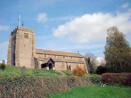
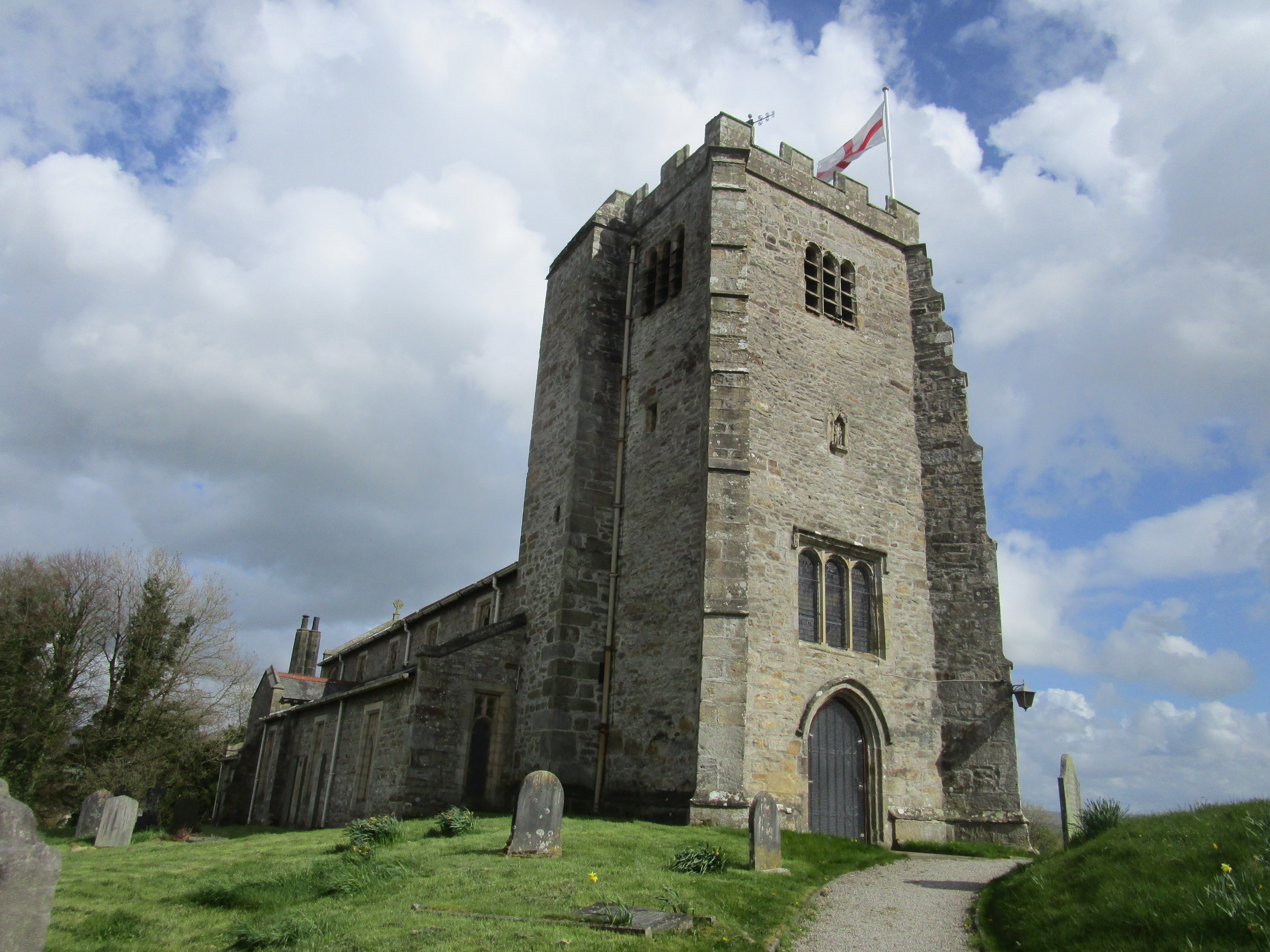
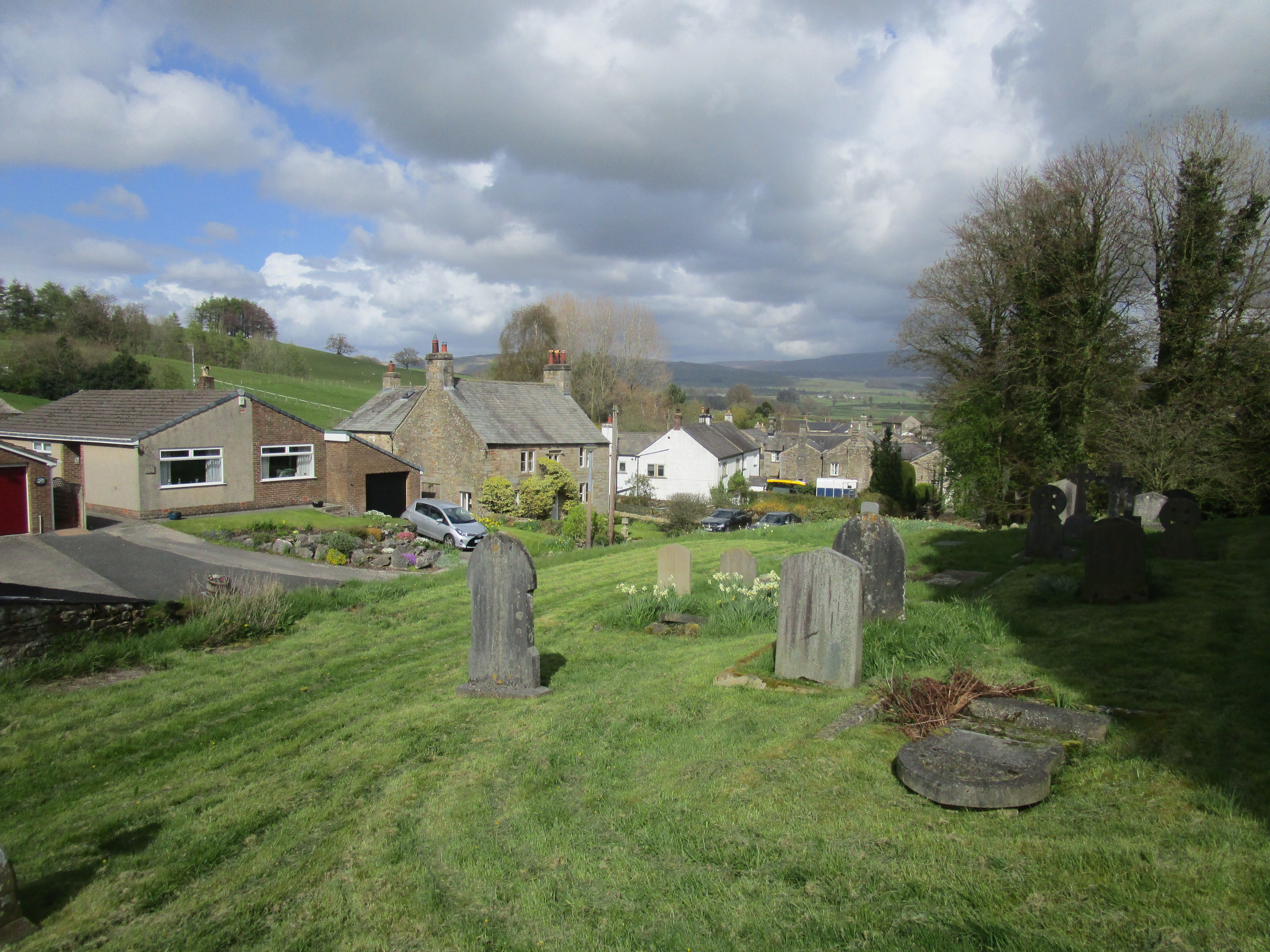
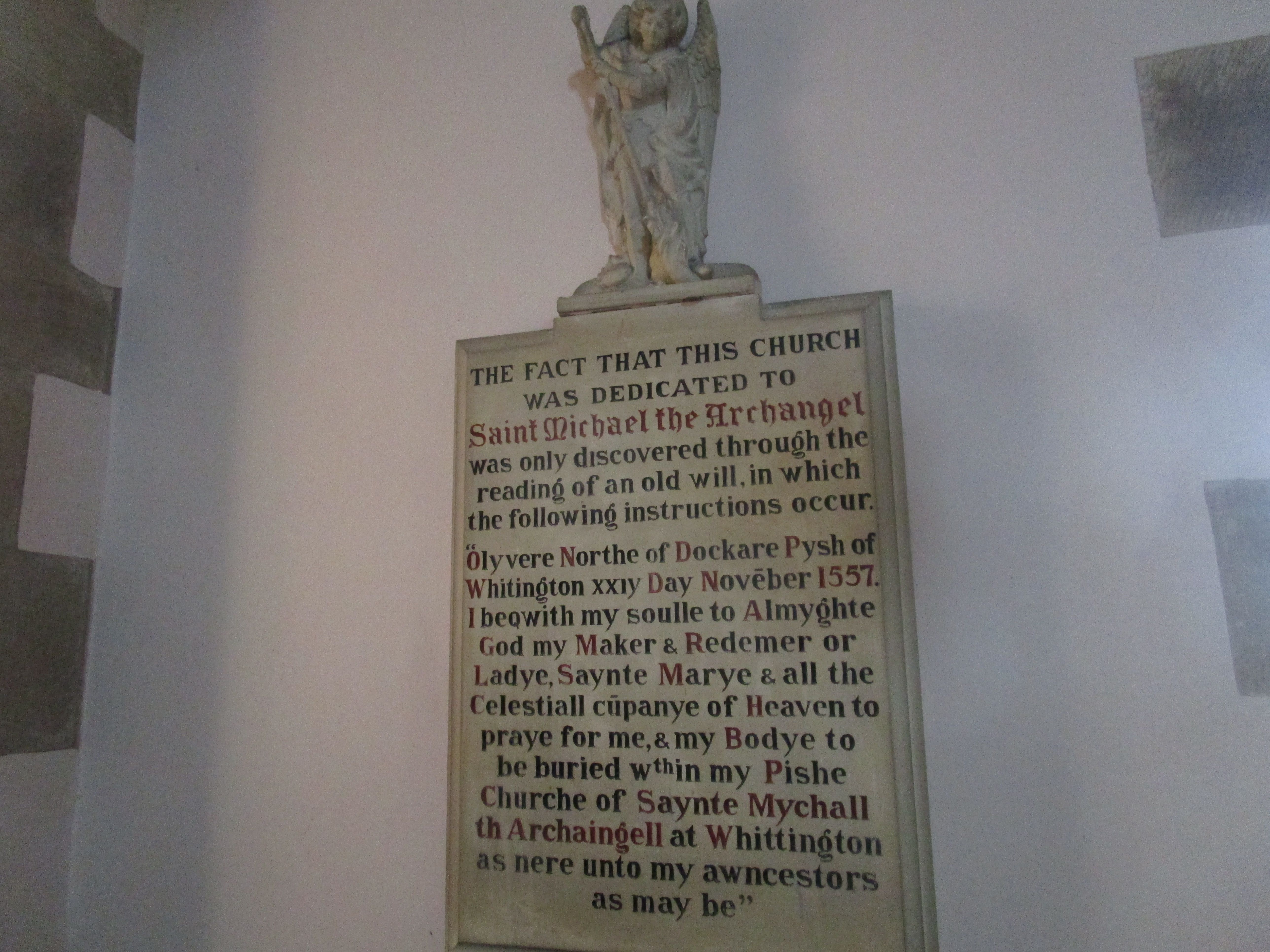
| Description | : | St Michael's Church is located in the settlement of Whittington, Lancashire, England. It is an active Anglican parish church in the deanery of Tunstall and the building is Grade II listed. The church stands within the bailey of a former castle. It is thought that a church has been on this site since 1200. The oldest part of the present church is the tower, which dates from the early 16th century. The rest of the church was largely rebuilt in 1875 by the Lancaster architects Paley and Austin, with the costs being met mainly by Colonel D. C. Greene of... Read More |
frequently asked questions (FAQ):
-
Where is St. Michael the Archangel Churchyard?
St. Michael the Archangel Churchyard is located at Whittington, City of Lancaster ,Lancashire ,England.
-
St. Michael the Archangel Churchyard cemetery's updated grave count on graveviews.com?
0 memorials
-
Where are the coordinates of the St. Michael the Archangel Churchyard?
Latitude: 54.1807620
Longitude: -2.6148790
Nearby Cemetories:
1. St John The Baptist Churchyard
Tunstall, City of Lancaster, England
Coordinate: 54.1596600, -2.5924200
2. St Mary the Virgin Churchyard
Kirkby Lonsdale, South Lakeland District, England
Coordinate: 54.2036550, -2.5976790
3. St John's Churchyard
Hutton Roof, South Lakeland District, England
Coordinate: 54.2029600, -2.6615600
4. Holy Trinity Churchyard
Casterton, South Lakeland District, England
Coordinate: 54.2113570, -2.5768860
5. Saint Peter's Churchyard
Leck, City of Lancaster, England
Coordinate: 54.1836860, -2.5485980
6. St John The Baptist Churchyard
Arkholme, City of Lancaster, England
Coordinate: 54.1406220, -2.6307800
7. St Wilfrids Churchyard
Melling, City of Lancaster, England
Coordinate: 54.1346900, -2.6165100
8. All Saints Churchyard
Lupton, South Lakeland District, England
Coordinate: 54.2217340, -2.6649730
9. St Peter's Churchyard
Mansergh, South Lakeland District, England
Coordinate: 54.2384190, -2.6118450
10. All Saints Churchyard
Burton-in-Lonsdale, Craven District, England
Coordinate: 54.1437630, -2.5357130
11. St James the Less Churchyard
Tatham, City of Lancaster, England
Coordinate: 54.1190100, -2.6043200
12. St Bartholomew Churchyard
Barbon, South Lakeland District, England
Coordinate: 54.2365440, -2.5682800
13. St. John The Evangelist Churchyard
Gressingham, City of Lancaster, England
Coordinate: 54.1233910, -2.6557800
14. St James Churchyard
Burton-in-Kendal, South Lakeland District, England
Coordinate: 54.1859270, -2.7210310
15. St. Wilfred Priory
Hornby, City of Lancaster, England
Coordinate: 54.1143640, -2.6405490
16. St. Margaret's Churchyard
Hornby, City of Lancaster, England
Coordinate: 54.1114000, -2.6362000
17. Friends Burial Group
Bentham, Craven District, England
Coordinate: 54.1265450, -2.5374290
18. Holy Trinity Churchyard
Holme, South Lakeland District, England
Coordinate: 54.2030730, -2.7318680
19. St. John the Baptist Churchyard
Bentham, Craven District, England
Coordinate: 54.1180880, -2.5454540
20. Holy Trinity Churchyard
Wray, City of Lancaster, England
Coordinate: 54.1022960, -2.6081510
21. St Oswald Churchyard
Thornton-in-Lonsdale, Craven District, England
Coordinate: 54.1573600, -2.4830810
22. St. John the Evangelist Churchyard
Yealand Conyers, City of Lancaster, England
Coordinate: 54.1667470, -2.7565170
23. St. Patrick's Churchyard
Preston Patrick, South Lakeland District, England
Coordinate: 54.2451230, -2.7120480
24. Friends Meeting House Burial Ground
Preston Patrick, South Lakeland District, England
Coordinate: 54.2499970, -2.7042040