
| Memorials | : | 0 |
| Location | : | Whitchurch Hill, South Oxfordshire District, England |
| Coordinate | : | 51.5050469, -1.0824315 |
frequently asked questions (FAQ):
-
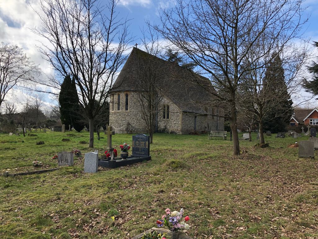
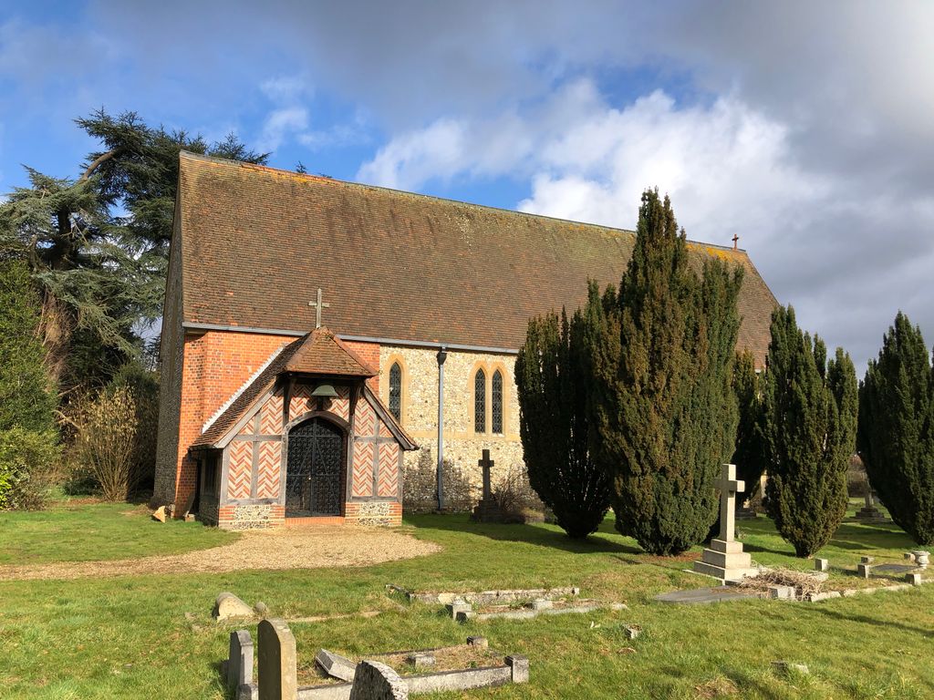
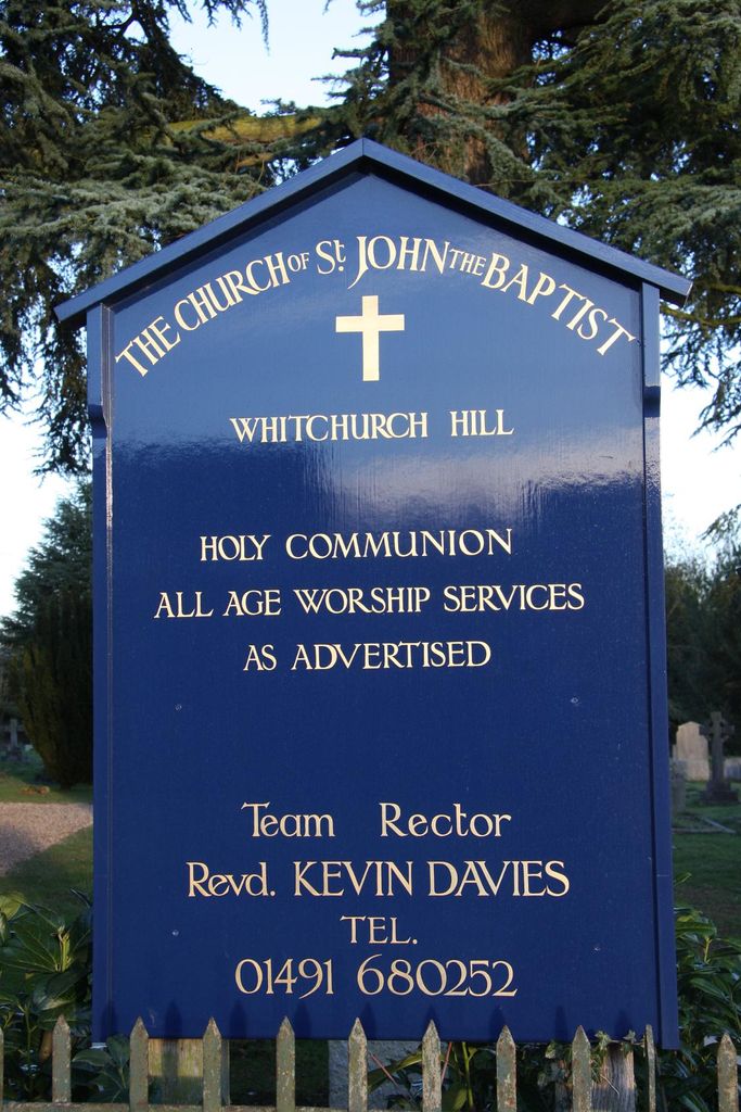
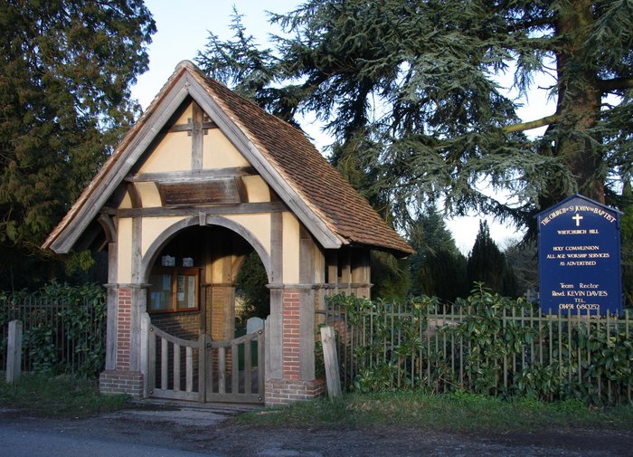
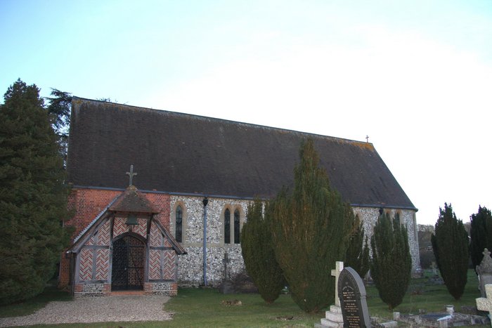
Where is St. John the Baptist Churchyard?
St. John the Baptist Churchyard is located at RoadB471 Whitchurch Hill, South Oxfordshire District ,Oxfordshire , RG8 7PAEngland.
-
St. John the Baptist Churchyard cemetery's updated grave count on graveviews.com?
0 memorials
-
Where are the coordinates of the St. John the Baptist Churchyard?
Latitude: 51.5050469
Longitude: -1.0824315
Nearby Cemetories:
1. St Mary the Virgin Churchyard
Whitchurch-on-Thames, South Oxfordshire District, England
Coordinate: 51.4881640, -1.0868770
2. Saint Bartholomew Chapelyard
Goring Heath, South Oxfordshire District, England
Coordinate: 51.5102184, -1.0545583
3. Pangbourne Cemetery
Pangbourne, West Berkshire Unitary Authority, England
Coordinate: 51.4805420, -1.0961030
4. Whitehill Burial Ground
Goring, South Oxfordshire District, England
Coordinate: 51.5214730, -1.1180180
5. St. Leonard's Churchyard
Woodcote, South Oxfordshire District, England
Coordinate: 51.5348117, -1.0731299
6. St. Margaret's Churchyard
Mapledurham, South Oxfordshire District, England
Coordinate: 51.4850830, -1.0364690
7. Chapel of St Michael the Archangel
Mapledurham, South Oxfordshire District, England
Coordinate: 51.4849140, -1.0355910
8. St Mary the Virgin Cemetery
Purley on Thames, West Berkshire Unitary Authority, England
Coordinate: 51.4797100, -1.0402200
9. St. Laurence Churchyard
Tidmarsh, West Berkshire Unitary Authority, England
Coordinate: 51.4663800, -1.0873800
10. St. Thomas of Canterbury Churchyard
Goring, South Oxfordshire District, England
Coordinate: 51.5221440, -1.1399970
11. Saint Nicholas Churchyard
Sulham, West Berkshire Unitary Authority, England
Coordinate: 51.4632900, -1.0729000
12. St. Mary Churchyard
Streatley, West Berkshire Unitary Authority, England
Coordinate: 51.5240170, -1.1449500
13. Checkendon Churchyard
Checkendon, South Oxfordshire District, England
Coordinate: 51.5424461, -1.0449720
14. Buckhold (Holy Trinity) Churchyard
Pangbourne, West Berkshire Unitary Authority, England
Coordinate: 51.4710470, -1.1438470
15. St. John the Baptist Churchyard
Kidmore End, South Oxfordshire District, England
Coordinate: 51.5085170, -0.9951240
16. Kidmore End Cemetery
Kidmore End, South Oxfordshire District, England
Coordinate: 51.5071600, -0.9942160
17. St Andrew Churchyard
South Stoke, South Oxfordshire District, England
Coordinate: 51.5479065, -1.1377167
18. St. John the Evangalist Churchyard
Stoke Row, South Oxfordshire District, England
Coordinate: 51.5510570, -1.0226630
19. Stoke Row Independant Chapel
Stoke Row, South Oxfordshire District, England
Coordinate: 51.5510570, -1.0226630
20. Stoke Row Independent Chapel Cemetery
Stoke Row, South Oxfordshire District, England
Coordinate: 51.5510570, -1.0226630
21. St. Mary the Virgin Cemetery
Ipsden, South Oxfordshire District, England
Coordinate: 51.5674164, -1.0866686
22. Saint Mark's Church
Englefield, West Berkshire Unitary Authority, England
Coordinate: 51.4435960, -1.1036540
23. St John the Baptist
Moulsford, South Oxfordshire District, England
Coordinate: 51.5531050, -1.1482640
24. Holy Trinity Churchyard
Theale, West Berkshire Unitary Authority, England
Coordinate: 51.4367420, -1.0825640