
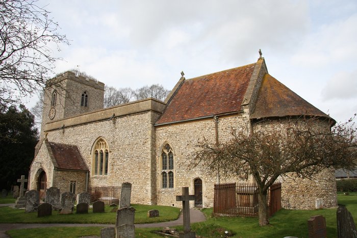
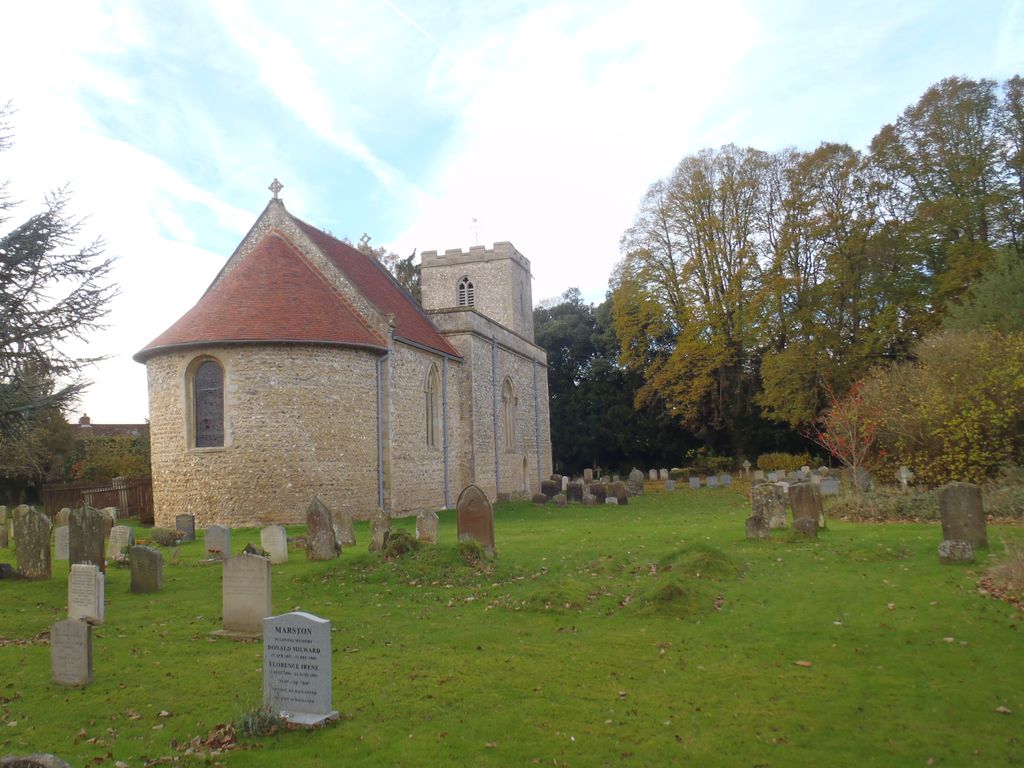
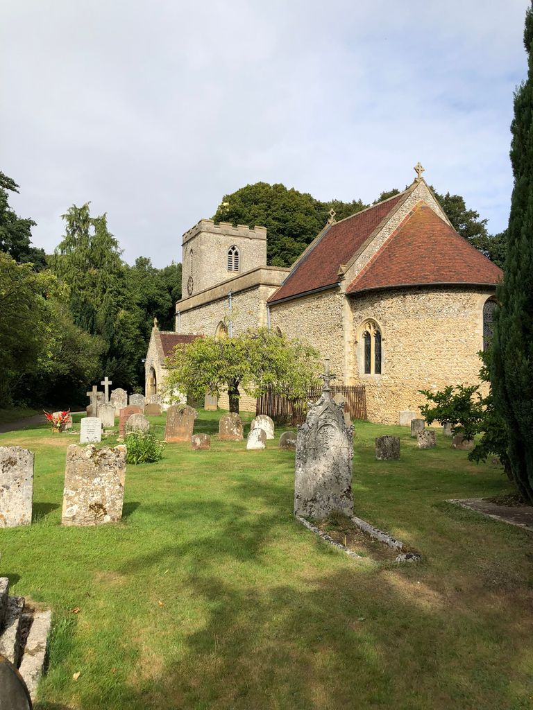
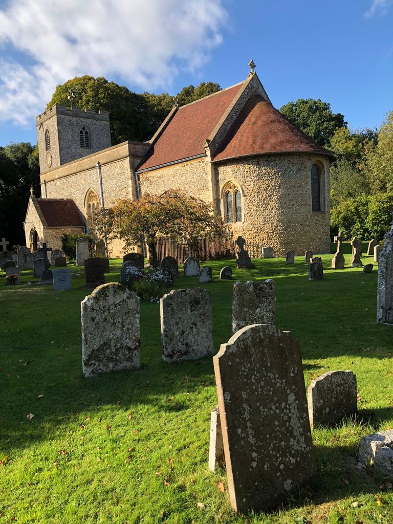
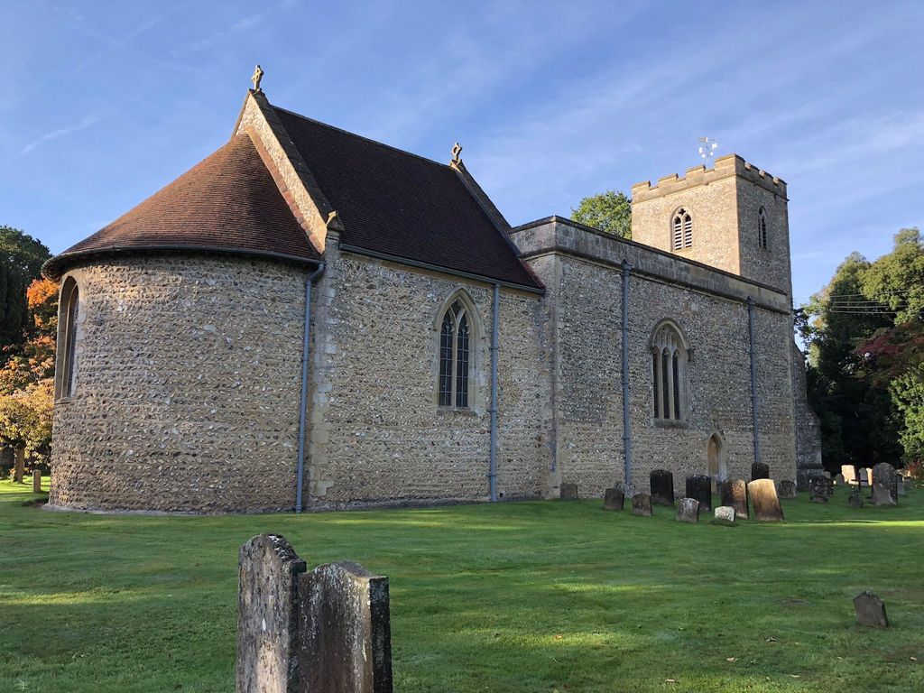
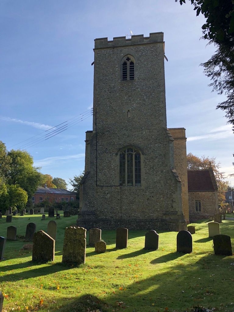
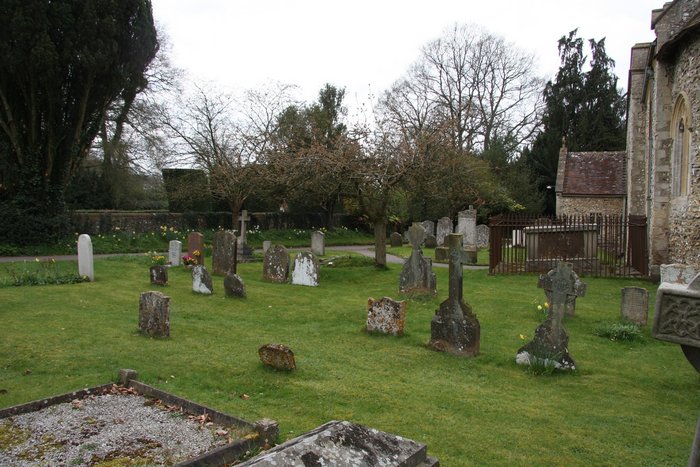
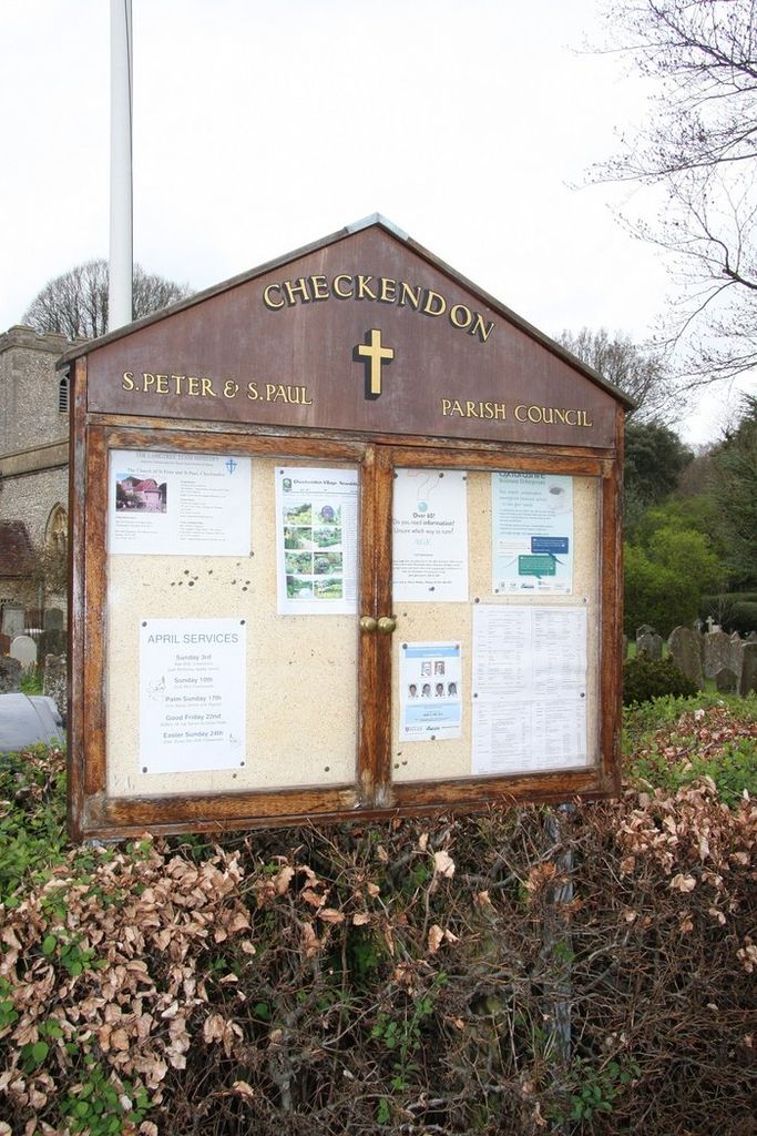
| Memorials | : | 2 |
| Location | : | Checkendon, South Oxfordshire District, England |
| Coordinate | : | 51.5424461, -1.0449720 |
frequently asked questions (FAQ):
-
Where is Checkendon Churchyard?
Checkendon Churchyard is located at Checkendon, South Oxfordshire District ,Oxfordshire ,England.
-
Checkendon Churchyard cemetery's updated grave count on graveviews.com?
2 memorials
-
Where are the coordinates of the Checkendon Churchyard?
Latitude: 51.5424461
Longitude: -1.0449720
Nearby Cemetories:
1. St. John the Evangalist Churchyard
Stoke Row, South Oxfordshire District, England
Coordinate: 51.5510570, -1.0226630
2. Stoke Row Independant Chapel
Stoke Row, South Oxfordshire District, England
Coordinate: 51.5510570, -1.0226630
3. Stoke Row Independent Chapel Cemetery
Stoke Row, South Oxfordshire District, England
Coordinate: 51.5510570, -1.0226630
4. St. Leonard's Churchyard
Woodcote, South Oxfordshire District, England
Coordinate: 51.5348117, -1.0731299
5. Saint Bartholomew Chapelyard
Goring Heath, South Oxfordshire District, England
Coordinate: 51.5102184, -1.0545583
6. St. Pauls Highmoor Cross
Highmoor, South Oxfordshire District, England
Coordinate: 51.5532740, -0.9910110
7. St. Mary the Virgin Cemetery
Ipsden, South Oxfordshire District, England
Coordinate: 51.5674164, -1.0866686
8. Holy Trinity Churchyard
Nuffield, South Oxfordshire District, England
Coordinate: 51.5810040, -1.0378960
9. St. John the Baptist Churchyard
Whitchurch Hill, South Oxfordshire District, England
Coordinate: 51.5050469, -1.0824315
10. St. Bartholomew's Churchyard
Nettlebed, South Oxfordshire District, England
Coordinate: 51.5752360, -0.9936230
11. St. John the Baptist Churchyard
Kidmore End, South Oxfordshire District, England
Coordinate: 51.5085170, -0.9951240
12. All Saints Churchyard
Rotherfield Peppard, South Oxfordshire District, England
Coordinate: 51.5280531, -0.9725009
13. Kidmore End Cemetery
Kidmore End, South Oxfordshire District, England
Coordinate: 51.5071600, -0.9942160
14. Whitehill Burial Ground
Goring, South Oxfordshire District, England
Coordinate: 51.5214730, -1.1180180
15. St. Mary's Churchyard
North Stoke, South Oxfordshire District, England
Coordinate: 51.5714910, -1.1228080
16. St. Nicholas' Churchyard
Rotherfield Greys, South Oxfordshire District, England
Coordinate: 51.5351017, -0.9541395
17. St. Margaret's Churchyard
Mapledurham, South Oxfordshire District, England
Coordinate: 51.4850830, -1.0364690
18. Chapel of St Michael the Archangel
Mapledurham, South Oxfordshire District, England
Coordinate: 51.4849140, -1.0355910
19. St Andrew Churchyard
South Stoke, South Oxfordshire District, England
Coordinate: 51.5479065, -1.1377167
20. St Mary the Virgin Churchyard
Whitchurch-on-Thames, South Oxfordshire District, England
Coordinate: 51.4881640, -1.0868770
21. St. James's Churchyard
Bix and Assendon, South Oxfordshire District, England
Coordinate: 51.5610070, -0.9511270
22. St. Thomas of Canterbury Churchyard
Goring, South Oxfordshire District, England
Coordinate: 51.5221440, -1.1399970
23. St Mary the Virgin Cemetery
Purley on Thames, West Berkshire Unitary Authority, England
Coordinate: 51.4797100, -1.0402200
24. St. Mary Churchyard
Streatley, West Berkshire Unitary Authority, England
Coordinate: 51.5240170, -1.1449500