
| Memorials | : | 0 |
| Location | : | Goring Heath, South Oxfordshire District, England |
| Coordinate | : | 51.5102184, -1.0545583 |
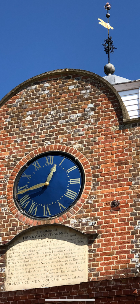
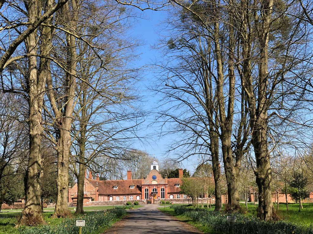
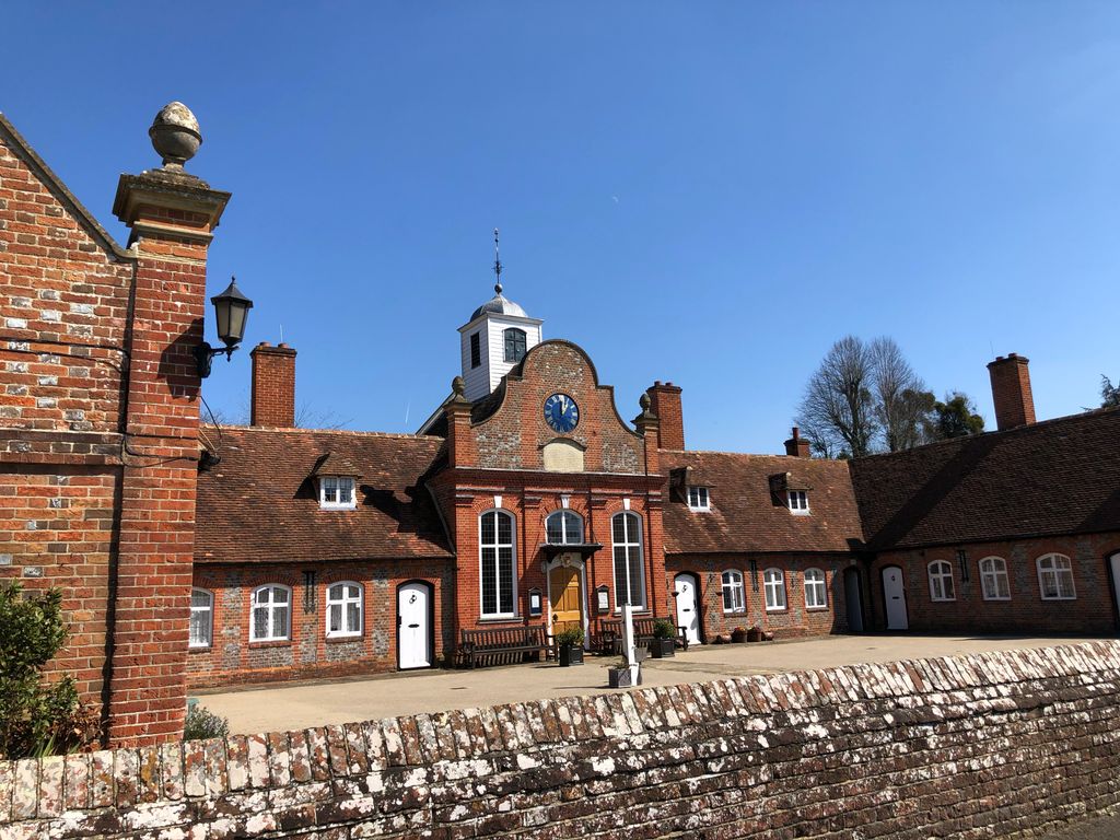
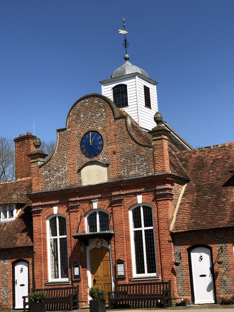
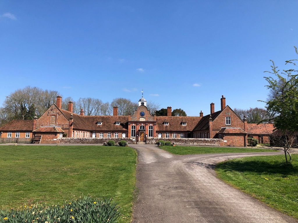
| Description | : | Saint Bartholomew Goring Heath is a chapelry in the parish of Goring (St. Thomas), 2 miles NE of Pangbourne (Berks) and 6 miles NW of Reading (Berks.). Historically it lies in Langtree Hundred and Bradfield Poor Law Union. The Chapel of St. Bartholomew was consecrated by Bishop Secker in 1742. the Almshouses or Hospital was founded by Henry Allnutt, Esq., of the Middle Temple in 1724, for twelve poor men of the parishes of Goring, South Stoke, Checkendon, Cassington and Ibstone (Bucks). (The registers also record entries for residents of Whitchurch, Caversham, and to a lesser extent Mapledurham.) A school... Read More |
frequently asked questions (FAQ):
-
Where is Saint Bartholomew Chapelyard?
Saint Bartholomew Chapelyard is located at Deadman Goring Heath, South Oxfordshire District ,Oxfordshire , RG87RSEngland.
-
Saint Bartholomew Chapelyard cemetery's updated grave count on graveviews.com?
0 memorials
-
Where are the coordinates of the Saint Bartholomew Chapelyard?
Latitude: 51.5102184
Longitude: -1.0545583
Nearby Cemetories:
1. St. John the Baptist Churchyard
Whitchurch Hill, South Oxfordshire District, England
Coordinate: 51.5050469, -1.0824315
2. St. Leonard's Churchyard
Woodcote, South Oxfordshire District, England
Coordinate: 51.5348117, -1.0731299
3. St. Margaret's Churchyard
Mapledurham, South Oxfordshire District, England
Coordinate: 51.4850830, -1.0364690
4. Chapel of St Michael the Archangel
Mapledurham, South Oxfordshire District, England
Coordinate: 51.4849140, -1.0355910
5. St Mary the Virgin Churchyard
Whitchurch-on-Thames, South Oxfordshire District, England
Coordinate: 51.4881640, -1.0868770
6. St Mary the Virgin Cemetery
Purley on Thames, West Berkshire Unitary Authority, England
Coordinate: 51.4797100, -1.0402200
7. Checkendon Churchyard
Checkendon, South Oxfordshire District, England
Coordinate: 51.5424461, -1.0449720
8. St. John the Baptist Churchyard
Kidmore End, South Oxfordshire District, England
Coordinate: 51.5085170, -0.9951240
9. Kidmore End Cemetery
Kidmore End, South Oxfordshire District, England
Coordinate: 51.5071600, -0.9942160
10. Pangbourne Cemetery
Pangbourne, West Berkshire Unitary Authority, England
Coordinate: 51.4805420, -1.0961030
11. Whitehill Burial Ground
Goring, South Oxfordshire District, England
Coordinate: 51.5214730, -1.1180180
12. St. John the Evangalist Churchyard
Stoke Row, South Oxfordshire District, England
Coordinate: 51.5510570, -1.0226630
13. Stoke Row Independant Chapel
Stoke Row, South Oxfordshire District, England
Coordinate: 51.5510570, -1.0226630
14. Stoke Row Independent Chapel Cemetery
Stoke Row, South Oxfordshire District, England
Coordinate: 51.5510570, -1.0226630
15. Saint Nicholas Churchyard
Sulham, West Berkshire Unitary Authority, England
Coordinate: 51.4632900, -1.0729000
16. St. Laurence Churchyard
Tidmarsh, West Berkshire Unitary Authority, England
Coordinate: 51.4663800, -1.0873800
17. All Saints Churchyard
Rotherfield Peppard, South Oxfordshire District, England
Coordinate: 51.5280531, -0.9725009
18. St. Thomas of Canterbury Churchyard
Goring, South Oxfordshire District, England
Coordinate: 51.5221440, -1.1399970
19. St. Mary Churchyard
Streatley, West Berkshire Unitary Authority, England
Coordinate: 51.5240170, -1.1449500
20. St. Pauls Highmoor Cross
Highmoor, South Oxfordshire District, England
Coordinate: 51.5532740, -0.9910110
21. St. Mary the Virgin Cemetery
Ipsden, South Oxfordshire District, England
Coordinate: 51.5674164, -1.0866686
22. Caversham Cemetery
Caversham, Reading Borough, England
Coordinate: 51.4745850, -0.9758020
23. St. Peter's Churchyard
Caversham, Reading Borough, England
Coordinate: 51.4686597, -0.9807669
24. St Andrew Churchyard
South Stoke, South Oxfordshire District, England
Coordinate: 51.5479065, -1.1377167