
| Memorials | : | 0 |
| Location | : | Colerne, Wiltshire Unitary Authority, England |
| Coordinate | : | 51.4391000, -2.2597000 |
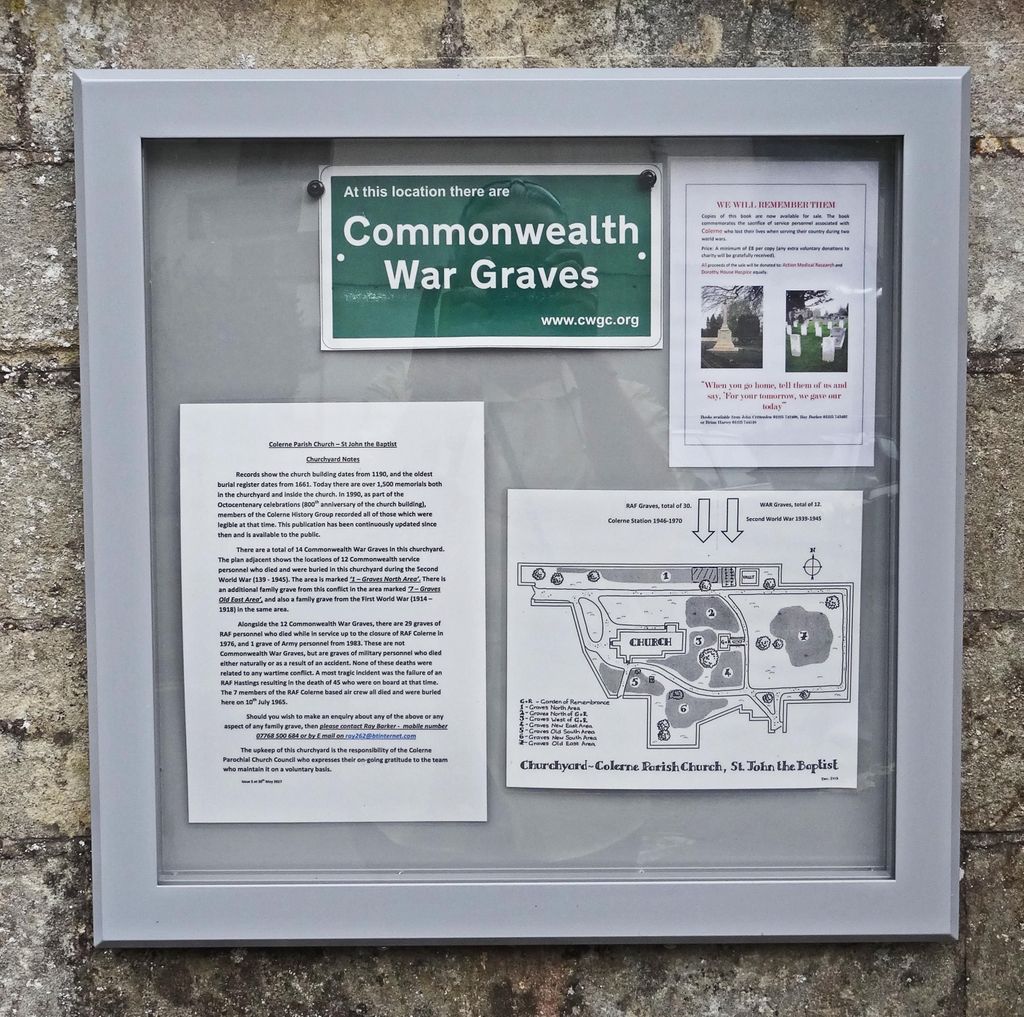
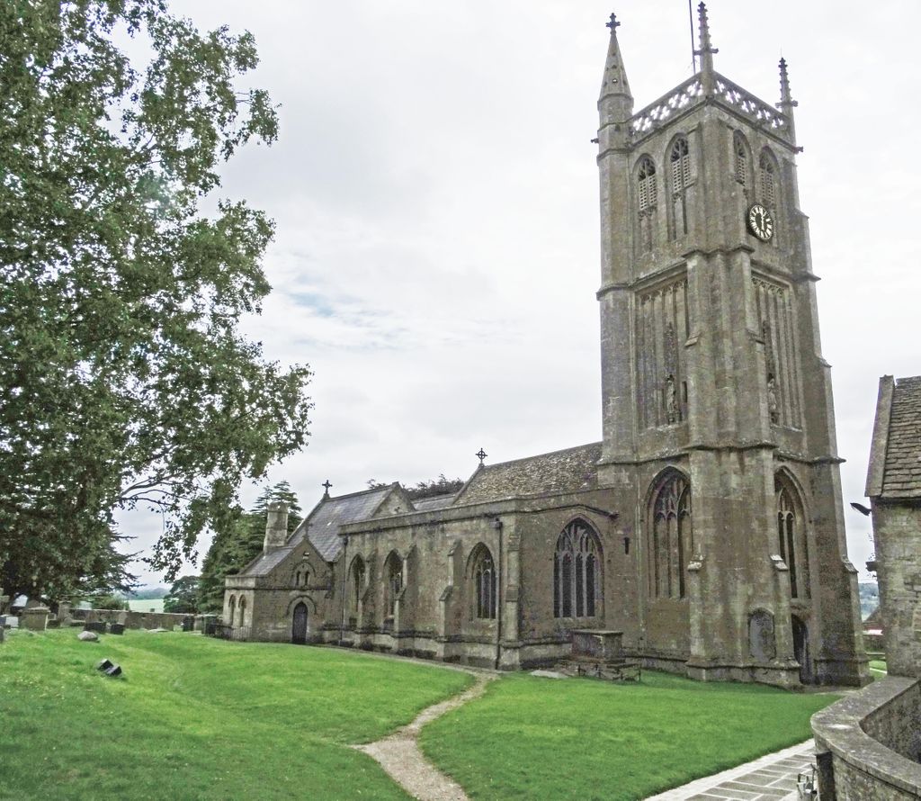
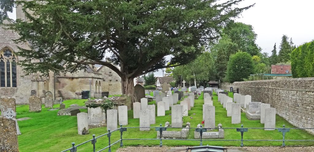
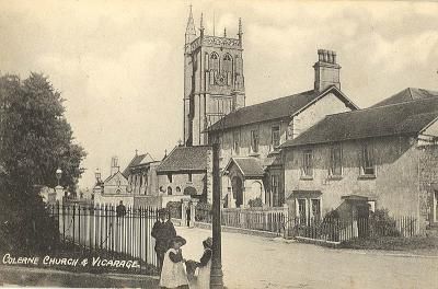
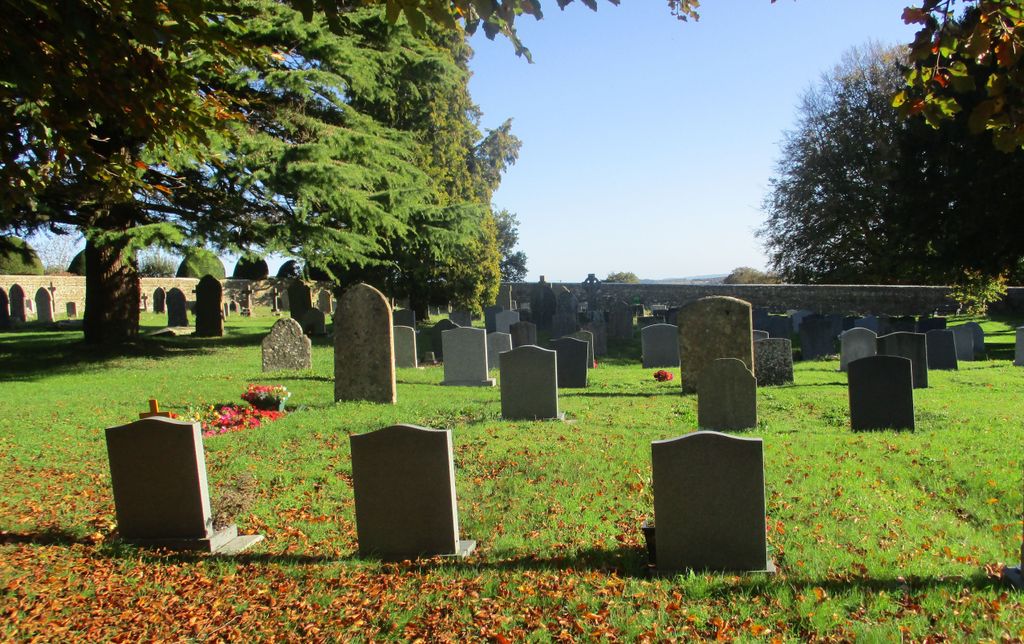
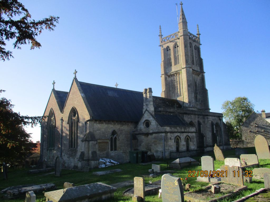
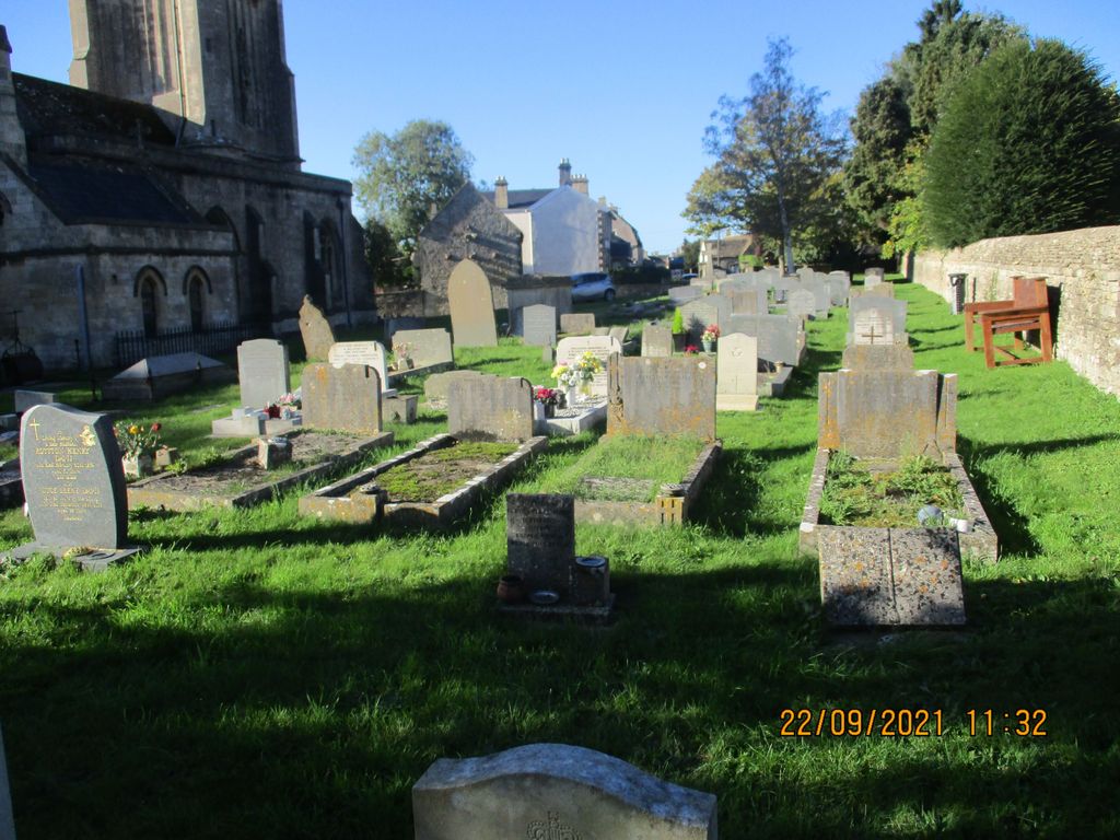
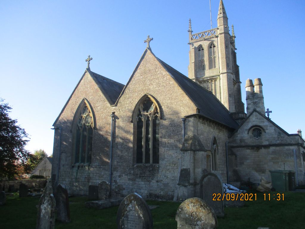
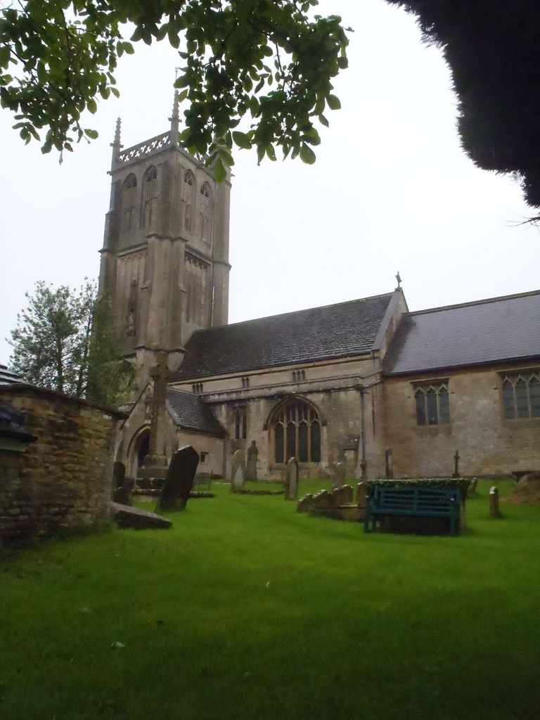
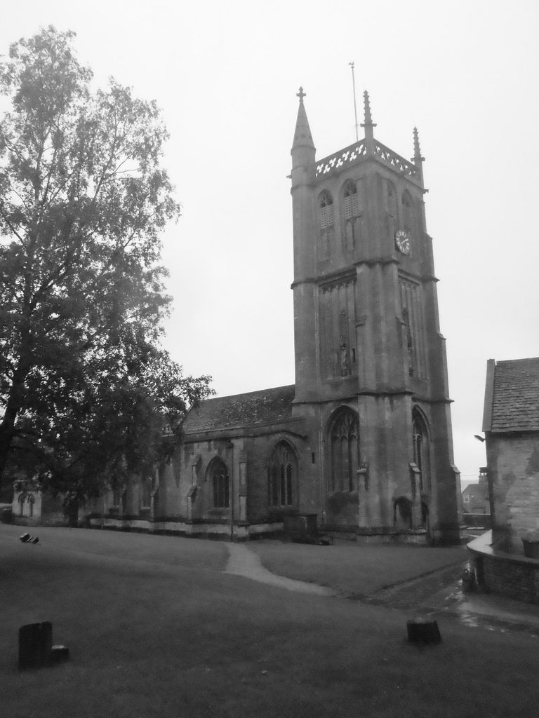
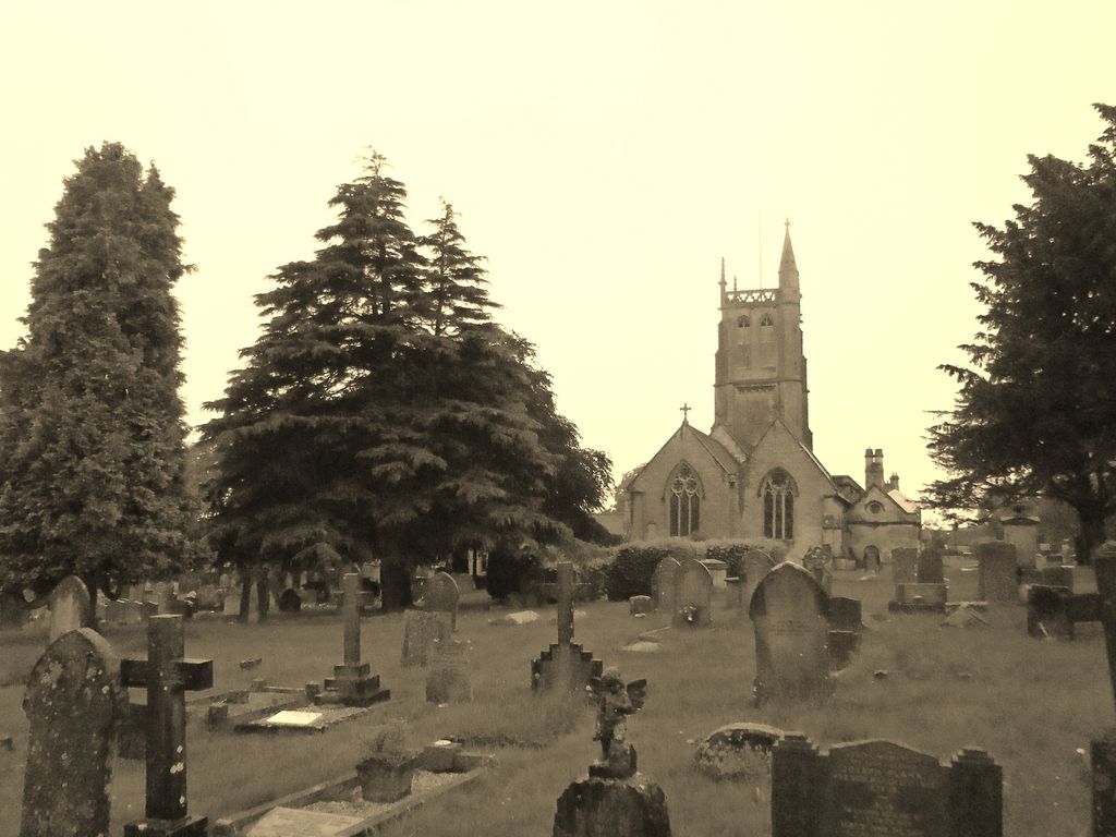
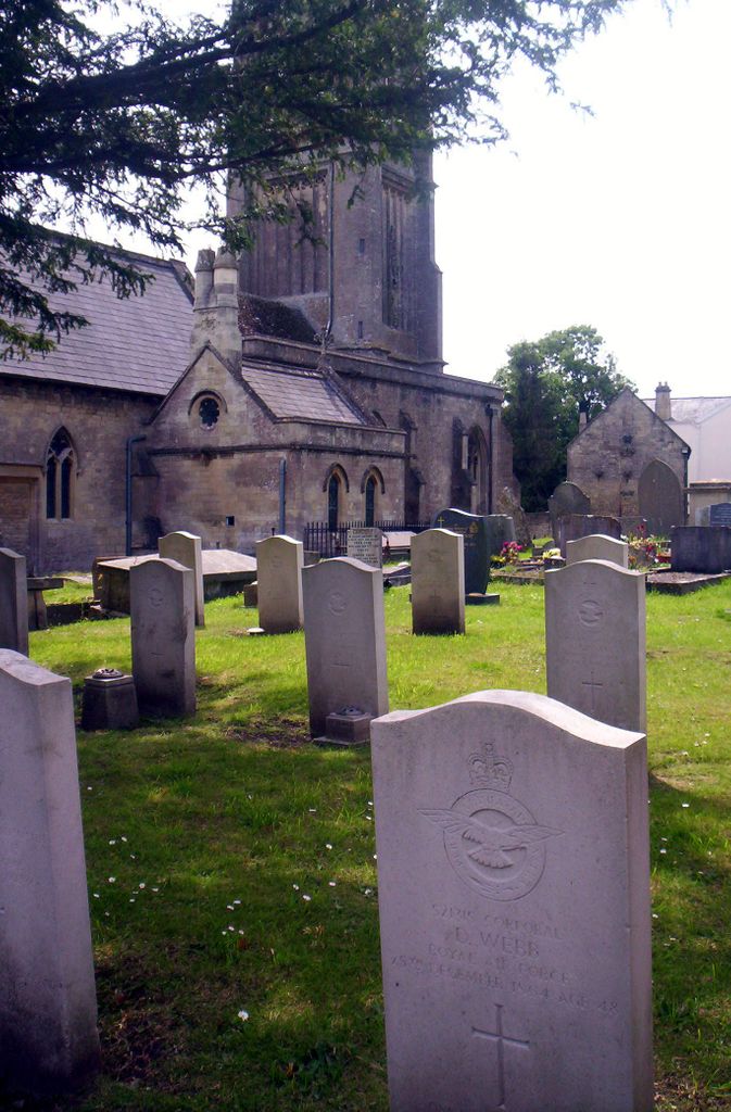
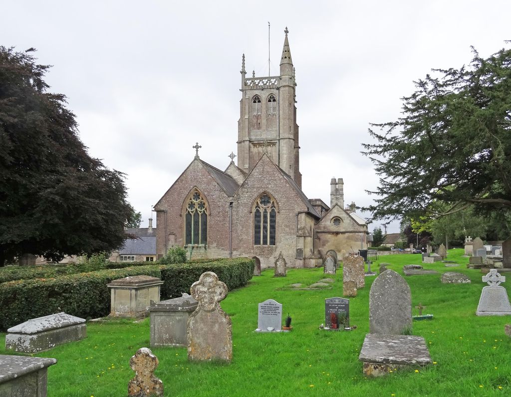
| Description | : | The churchyard has been used for burials since 1190 AD according to the church in February of 2011. [text by Anita] Colerne is a village and civil parish in the Cotswolds Area of Outstanding Natural Beauty, midway between Bath and Chippenham in Wiltshire, England. It has an elevated position 545 feet above sea level and overlooks the Box Valley to the south (where Isambard Kingdom Brunel's famous Box Tunnel is). It is bounded by a stretch of the Fosse Way Roman road to the west and by Bybrook to the south-east. There are 14 wargraves in the churchyard. |
frequently asked questions (FAQ):
-
Where is St John the Baptist Churchyard?
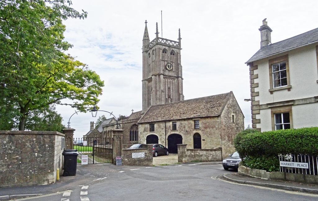
St John the Baptist Churchyard is located at Market Place Colerne, Wiltshire Unitary Authority ,Wiltshire , SN14 8ELEngland.
-
St John the Baptist Churchyard cemetery's updated grave count on graveviews.com?
0 memorials
-
Where are the coordinates of the St John the Baptist Churchyard?
Latitude: 51.4391000
Longitude: -2.2597000
Nearby Cemetories:
1. St. Thomas A. Becket Churchyard
Box, Wiltshire Unitary Authority, England
Coordinate: 51.4151440, -2.2550730
2. Box Cemetery
Box, Wiltshire Unitary Authority, England
Coordinate: 51.4142265, -2.2597129
3. St. Nicholas' Churchyard
Biddestone, Wiltshire Unitary Authority, England
Coordinate: 51.4646692, -2.2322248
4. St Catherine Churchyard
Batheaston, Bath and North East Somerset Unitary Authority, England
Coordinate: 51.4307700, -2.3209500
5. Church of St Catherine
St Catherine, Bath and North East Somerset Unitary Authority, England
Coordinate: 51.4308200, -2.3212100
6. St Nicholas Churchyard Extension
Biddestone, Wiltshire Unitary Authority, England
Coordinate: 51.4586102, -2.2046090
7. St Mary the Virgin Churchyard
Marshfield, South Gloucestershire Unitary Authority, England
Coordinate: 51.4616500, -2.3149230
8. St. Nicholas' Churchyard
Biddestone, Wiltshire Unitary Authority, England
Coordinate: 51.4606100, -2.2003700
9. St. Philip’s and St. James’
Corsham, Wiltshire Unitary Authority, England
Coordinate: 51.4125733, -2.2017900
10. Quaker Burial Ground
Batheaston, Bath and North East Somerset Unitary Authority, England
Coordinate: 51.4024970, -2.3100210
11. St John the Baptist Churchyard
Batheaston, Bath and North East Somerset Unitary Authority, England
Coordinate: 51.4097940, -2.3213520
12. St Bartholomew Churchyard
Corsham, Wiltshire Unitary Authority, England
Coordinate: 51.4338640, -2.1822900
13. St Swithun Churchyard
Bathford, Bath and North East Somerset Unitary Authority, England
Coordinate: 51.3981960, -2.3060840
14. St. Nicholas' Churchyard
Bathampton, Bath and North East Somerset Unitary Authority, England
Coordinate: 51.3974090, -2.3216890
15. St Andrew Churchyard
Castle Combe, Wiltshire Unitary Authority, England
Coordinate: 51.4933830, -2.2296560
16. Church of St. Mary the Virgin
Wiltshire Unitary Authority, England
Coordinate: 51.4967160, -2.2703700
17. St. Michael's Churchyard
Atworth, Wiltshire Unitary Authority, England
Coordinate: 51.3910250, -2.2037350
18. Atworth Independent Churchyard
Atworth, Wiltshire Unitary Authority, England
Coordinate: 51.3926890, -2.1991210
19. St. Mary the Blessed Virgin Churchyard
Swainswick, Bath and North East Somerset Unitary Authority, England
Coordinate: 51.4142080, -2.3514370
20. Holy Trinity Churchyard
Cold Ashton, South Gloucestershire Unitary Authority, England
Coordinate: 51.4530440, -2.3597430
21. St James Churchyard
West Littleton, South Gloucestershire Unitary Authority, England
Coordinate: 51.4780400, -2.3458000
22. All Saints Churchyard
Woolley, Bath and North East Somerset Unitary Authority, England
Coordinate: 51.4149600, -2.3612130
23. St Saviour's Church Crypt
Larkhall, Bath and North East Somerset Unitary Authority, England
Coordinate: 51.3956300, -2.3465100
24. Claverton Cemetery
Bath, Bath and North East Somerset Unitary Authority, England
Coordinate: 51.3758190, -2.3060720