
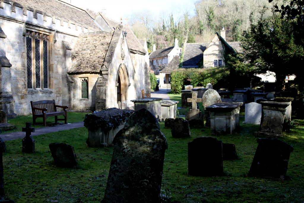
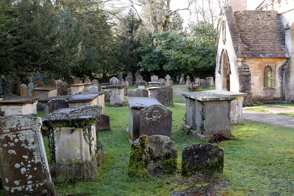
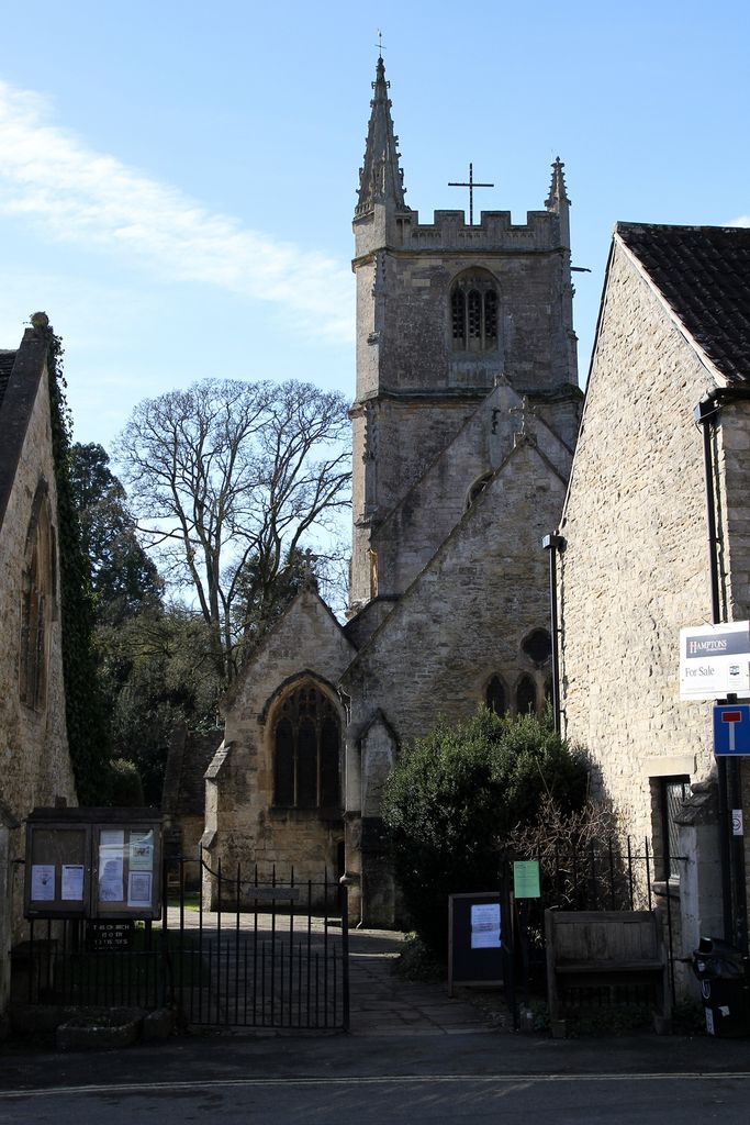
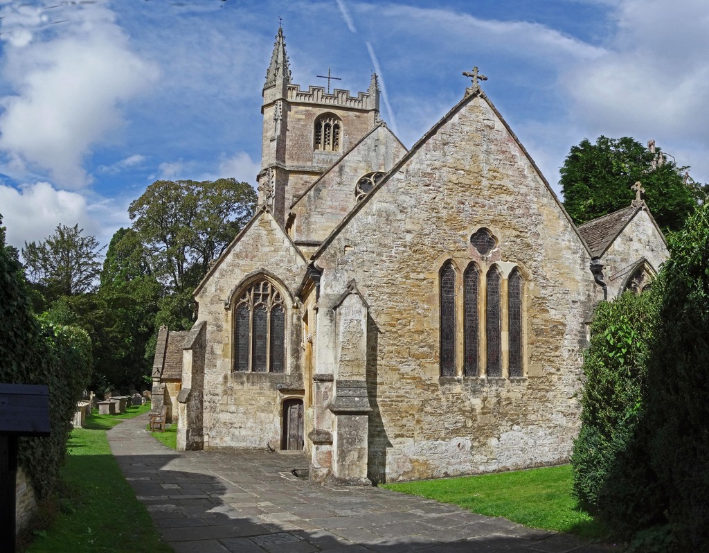
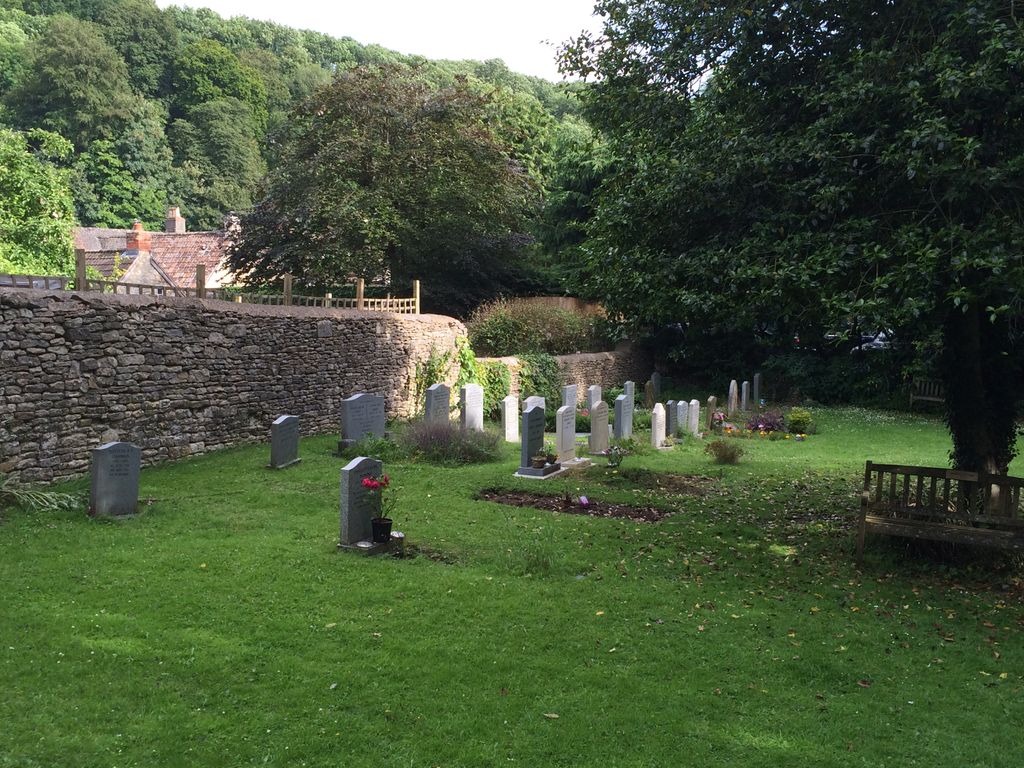
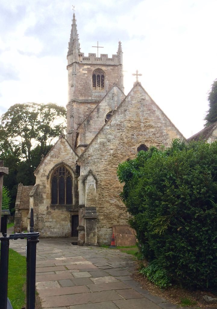
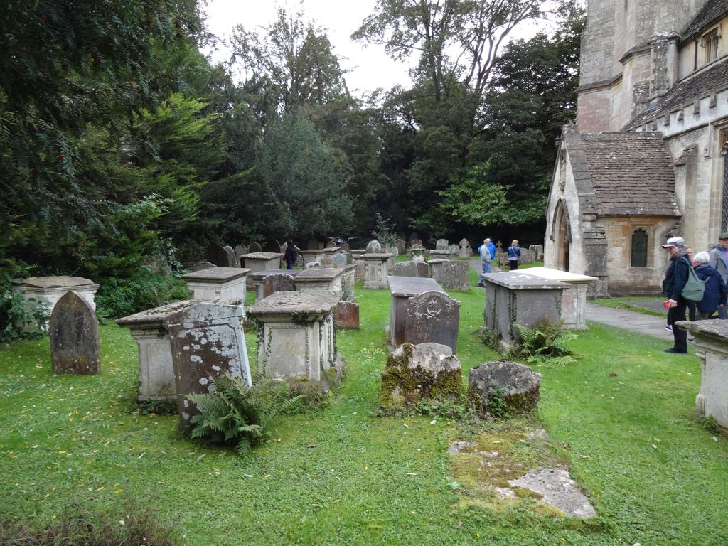
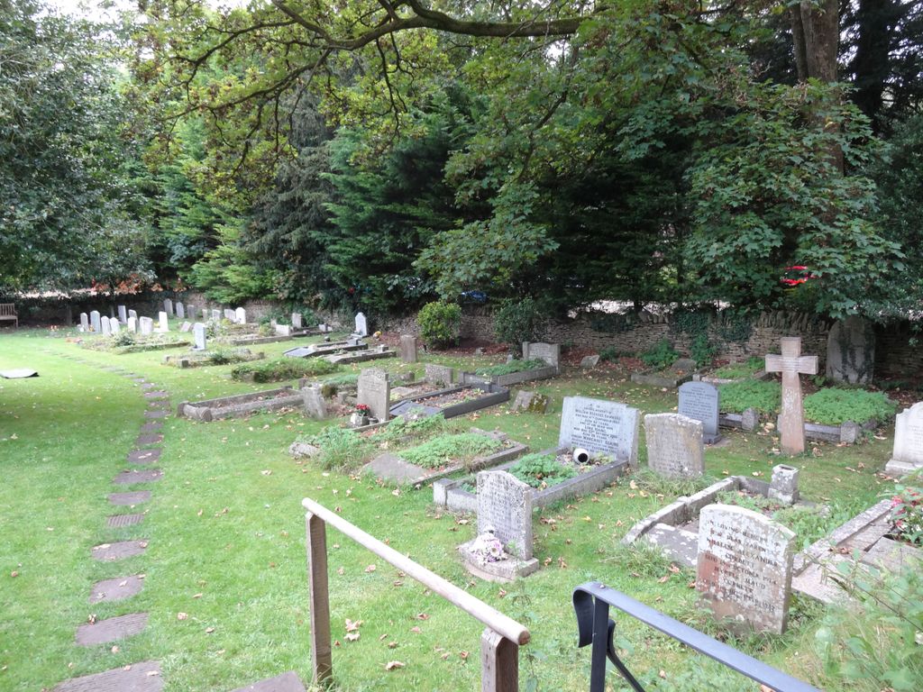
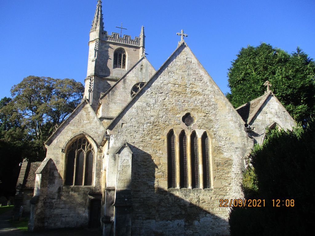
| Memorials | : | 0 |
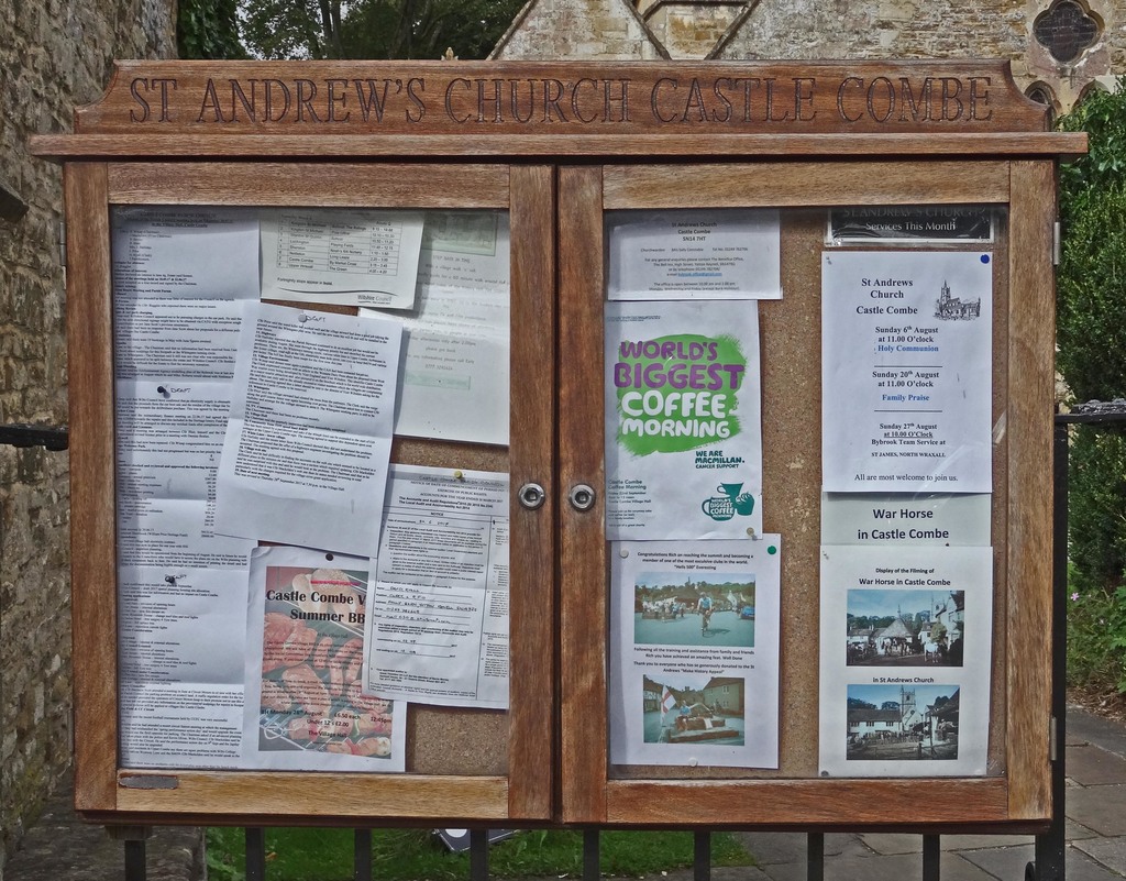
| Location | : | Castle Combe, Wiltshire Unitary Authority, England |
| Coordinate | : | 51.4933830, -2.2296560 |
frequently asked questions (FAQ):
-
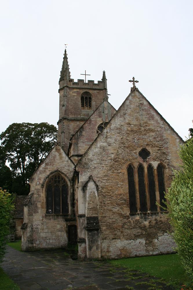
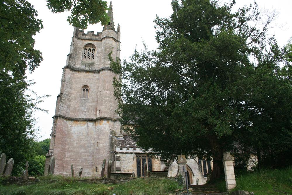
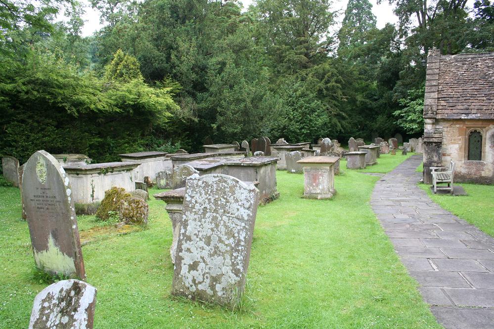
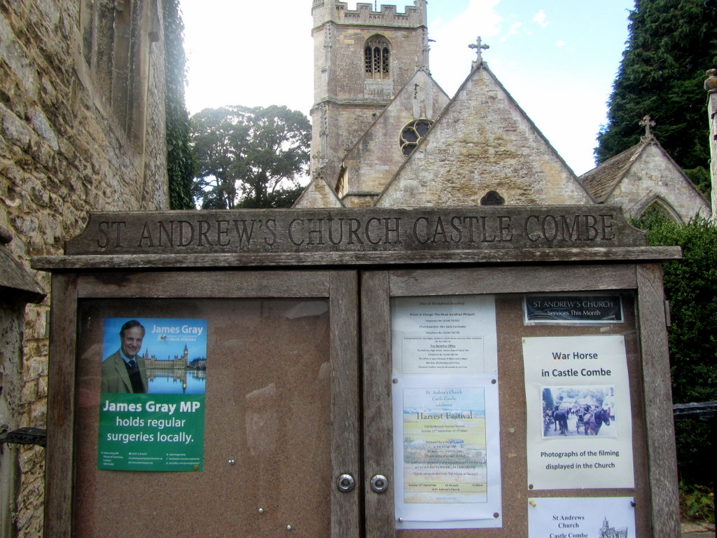
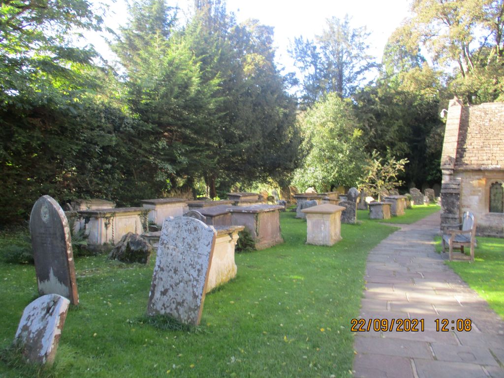
Where is St Andrew Churchyard?
St Andrew Churchyard is located at Castle Combe, Wiltshire Unitary Authority ,Wiltshire ,England.
-
St Andrew Churchyard cemetery's updated grave count on graveviews.com?
0 memorials
-
Where are the coordinates of the St Andrew Churchyard?
Latitude: 51.4933830
Longitude: -2.2296560
Nearby Cemetories:
1. Church of St. Mary the Virgin
Wiltshire Unitary Authority, England
Coordinate: 51.4967160, -2.2703700
2. St. Nicholas' Churchyard
Biddestone, Wiltshire Unitary Authority, England
Coordinate: 51.4646692, -2.2322248
3. St. Nicholas' Churchyard
Biddestone, Wiltshire Unitary Authority, England
Coordinate: 51.4606100, -2.2003700
4. St Nicholas Churchyard Extension
Biddestone, Wiltshire Unitary Authority, England
Coordinate: 51.4586102, -2.2046090
5. St Mary Churchyard
Acton Turville, South Gloucestershire Unitary Authority, England
Coordinate: 51.5263850, -2.2775330
6. St Paul with Allington Mission
Allington, Wiltshire Unitary Authority, England
Coordinate: 51.4753340, -2.1530720
7. St Giles Churchyard
Alderton, Wiltshire Unitary Authority, England
Coordinate: 51.5461670, -2.2294570
8. Saint Michael's
Badminton, South Gloucestershire Unitary Authority, England
Coordinate: 51.5400900, -2.2818500
9. St John the Baptist Churchyard
Colerne, Wiltshire Unitary Authority, England
Coordinate: 51.4391000, -2.2597000
10. St Michael and All Angels Churchyard
Badminton, South Gloucestershire Unitary Authority, England
Coordinate: 51.5442200, -2.2800310
11. St Mary the Virgin Churchyard
Marshfield, South Gloucestershire Unitary Authority, England
Coordinate: 51.4616500, -2.3149230
12. St Mary Magdelene Churchyard
Tormarton, South Gloucestershire Unitary Authority, England
Coordinate: 51.5082250, -2.3334930
13. St Bartholomew Churchyard
Corsham, Wiltshire Unitary Authority, England
Coordinate: 51.4338640, -2.1822900
14. St Michael and All Angels Churchyard
Little Badminton, South Gloucestershire Unitary Authority, England
Coordinate: 51.5572610, -2.2888360
15. St James Churchyard
West Littleton, South Gloucestershire Unitary Authority, England
Coordinate: 51.4780400, -2.3458000
16. St. Thomas A. Becket Churchyard
Box, Wiltshire Unitary Authority, England
Coordinate: 51.4151440, -2.2550730
17. Box Cemetery
Box, Wiltshire Unitary Authority, England
Coordinate: 51.4142265, -2.2597129
18. St. Philip’s and St. James’
Corsham, Wiltshire Unitary Authority, England
Coordinate: 51.4125733, -2.2017900
19. St Mary's Churchyard ( Private )
Dodington, South Gloucestershire Unitary Authority, England
Coordinate: 51.5172820, -2.3588590
20. St Catherine Churchyard
Batheaston, Bath and North East Somerset Unitary Authority, England
Coordinate: 51.4307700, -2.3209500
21. Church of St Catherine
St Catherine, Bath and North East Somerset Unitary Authority, England
Coordinate: 51.4308200, -2.3212100
22. Saint John the Baptist Churchyard
Old Sodbury, South Gloucestershire Unitary Authority, England
Coordinate: 51.5336010, -2.3561470
23. Holy Trinity Churchyard
Cold Ashton, South Gloucestershire Unitary Authority, England
Coordinate: 51.4530440, -2.3597430
24. St Peter's Churchyard
Dyrham, South Gloucestershire Unitary Authority, England
Coordinate: 51.4804500, -2.3735900