
| Memorials | : | 356 |
| Location | : | Cold Ashton, South Gloucestershire Unitary Authority, England |
| Coordinate | : | 51.4530440, -2.3597430 |
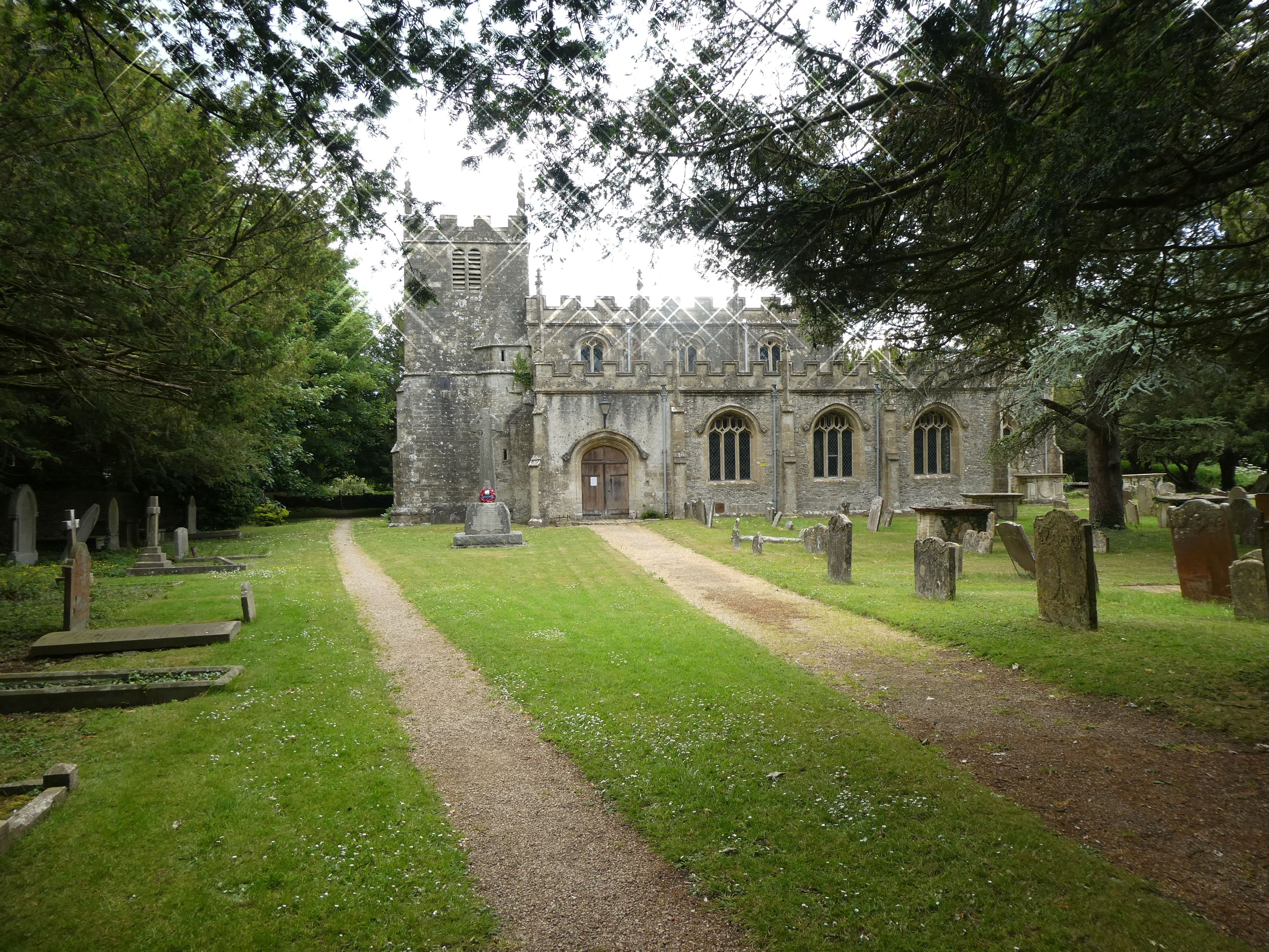
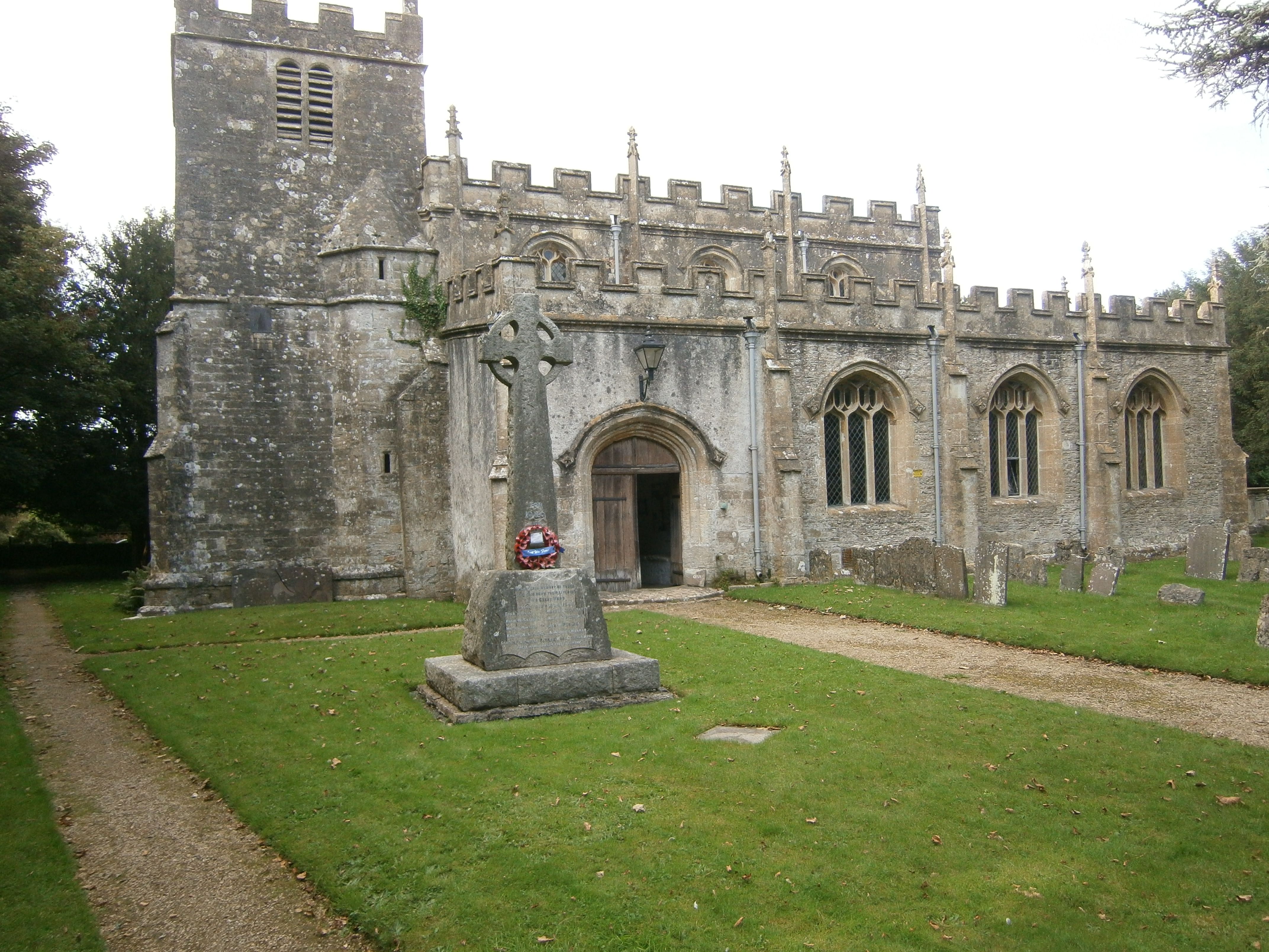
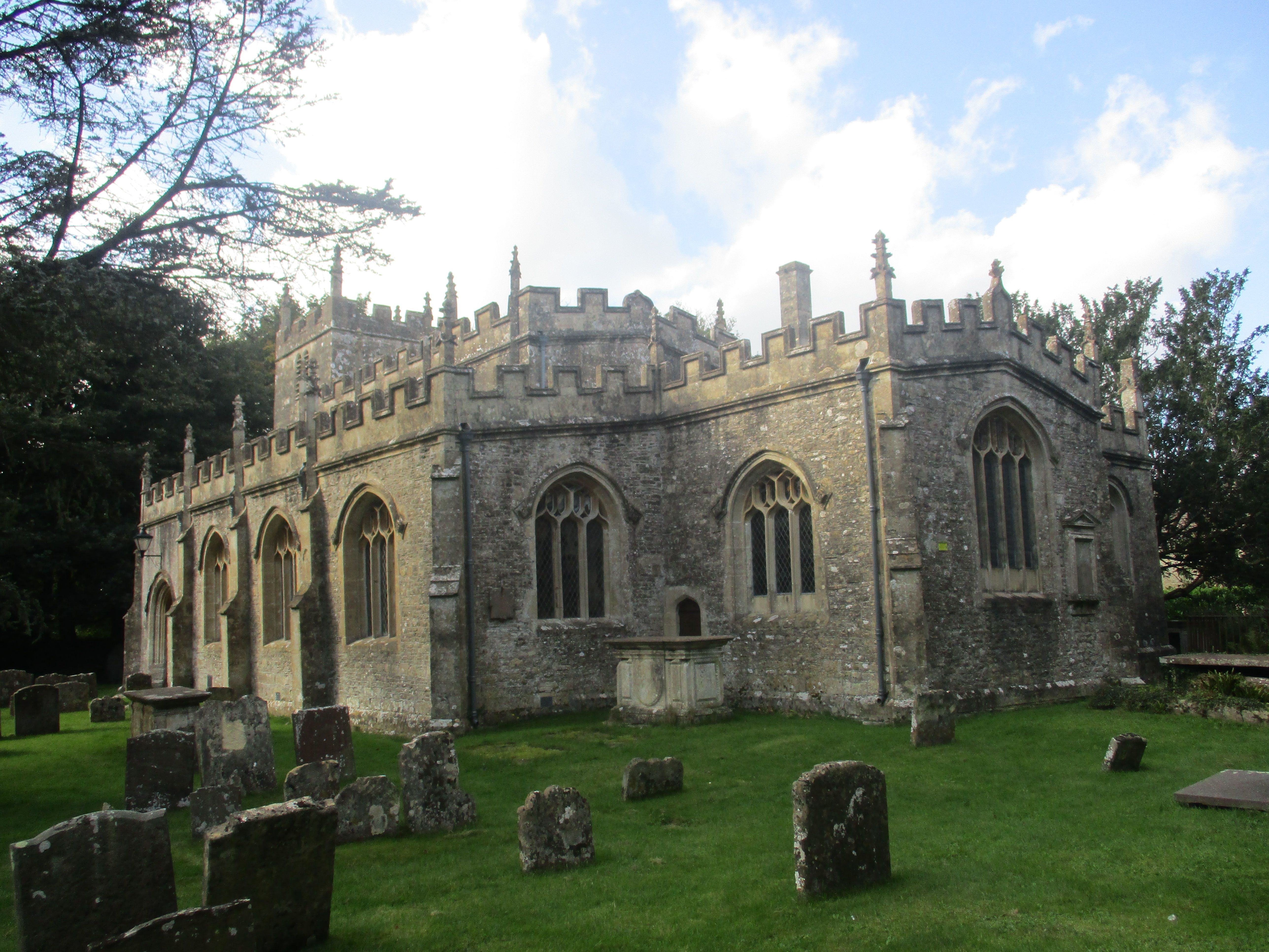
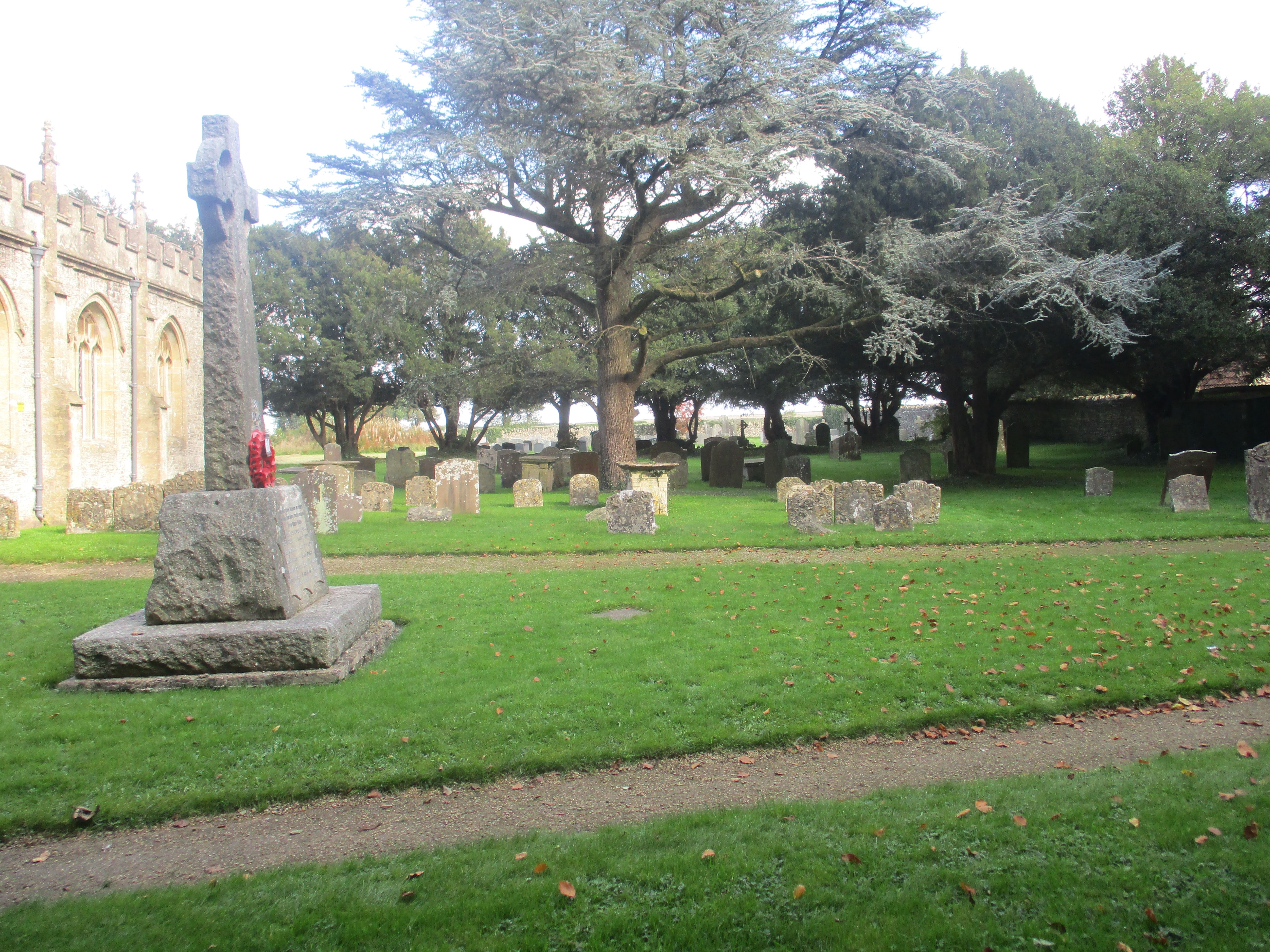
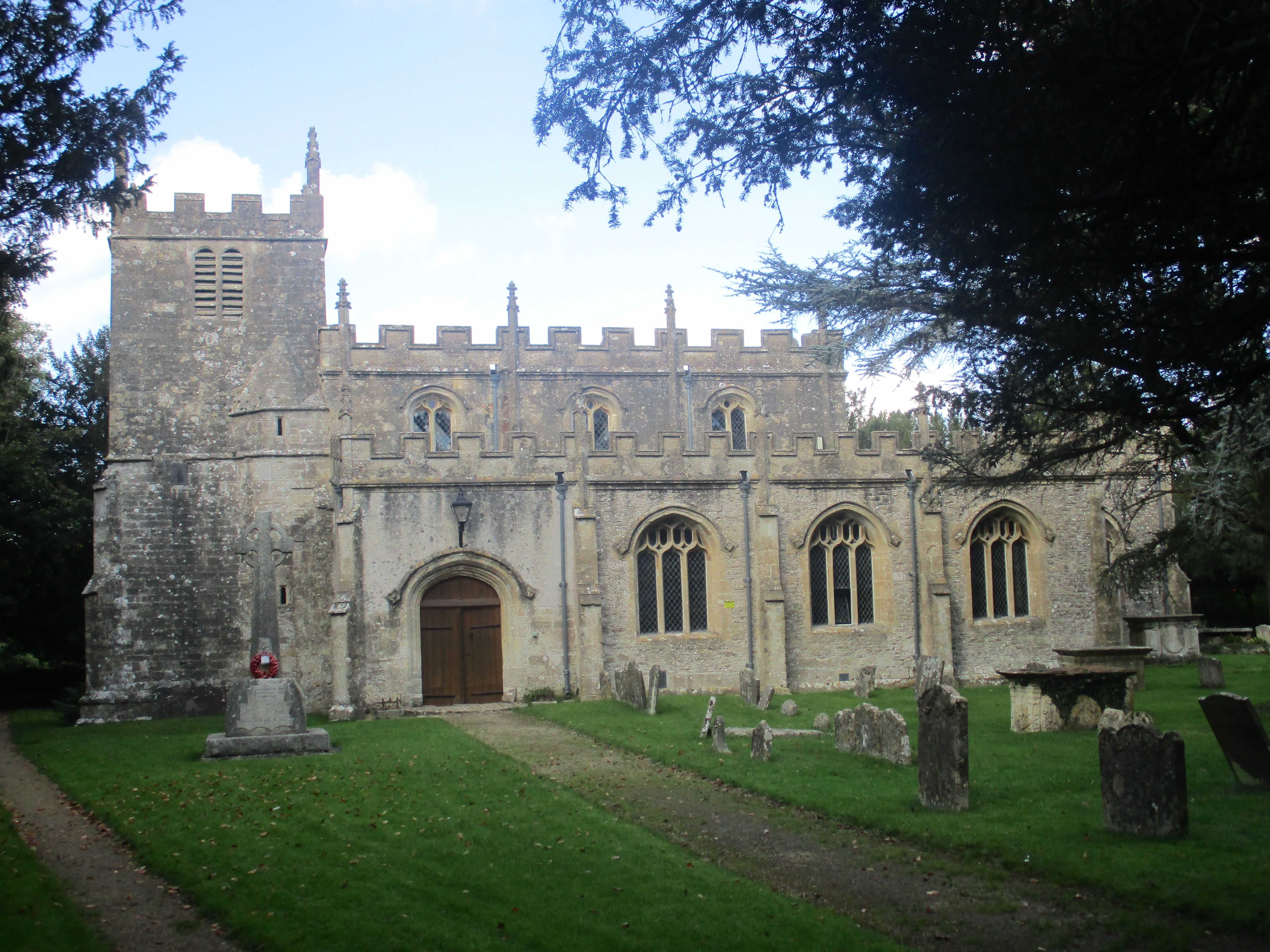
| Description | : | Not to be confused with Cold Aston . Cold Ashton is a village in South Gloucestershire, England. The village church has a 14th century tower and the rest of the church was rebuilt in the 16th century by Thomas Key, its rector. In 1643 during the English Civil War Sir Bevil Grenville was injured at the Battle of Lansdowne and carried to the rectory at Cold Ashton, where he died. |
frequently asked questions (FAQ):
-
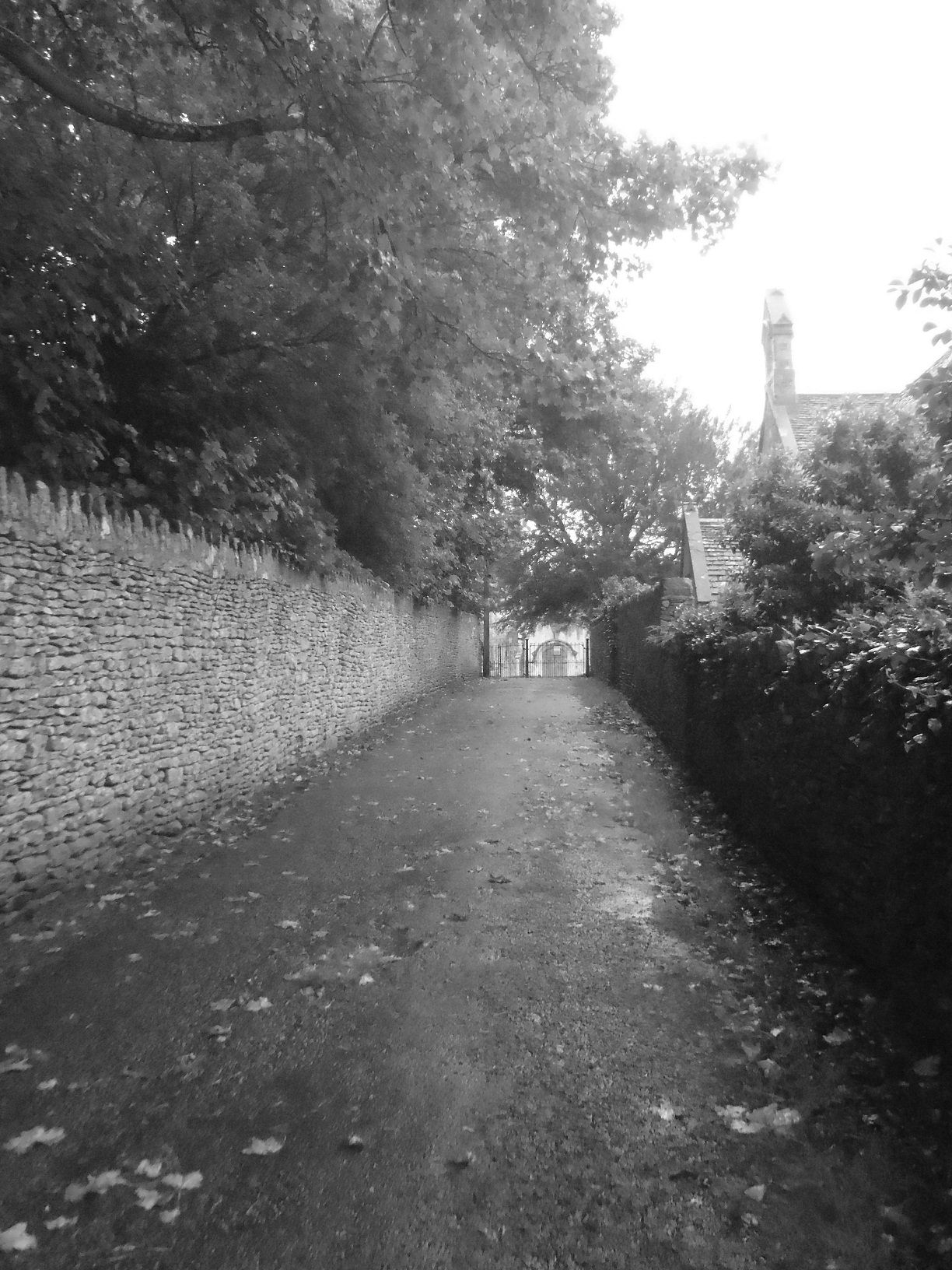
Where is Holy Trinity Churchyard?
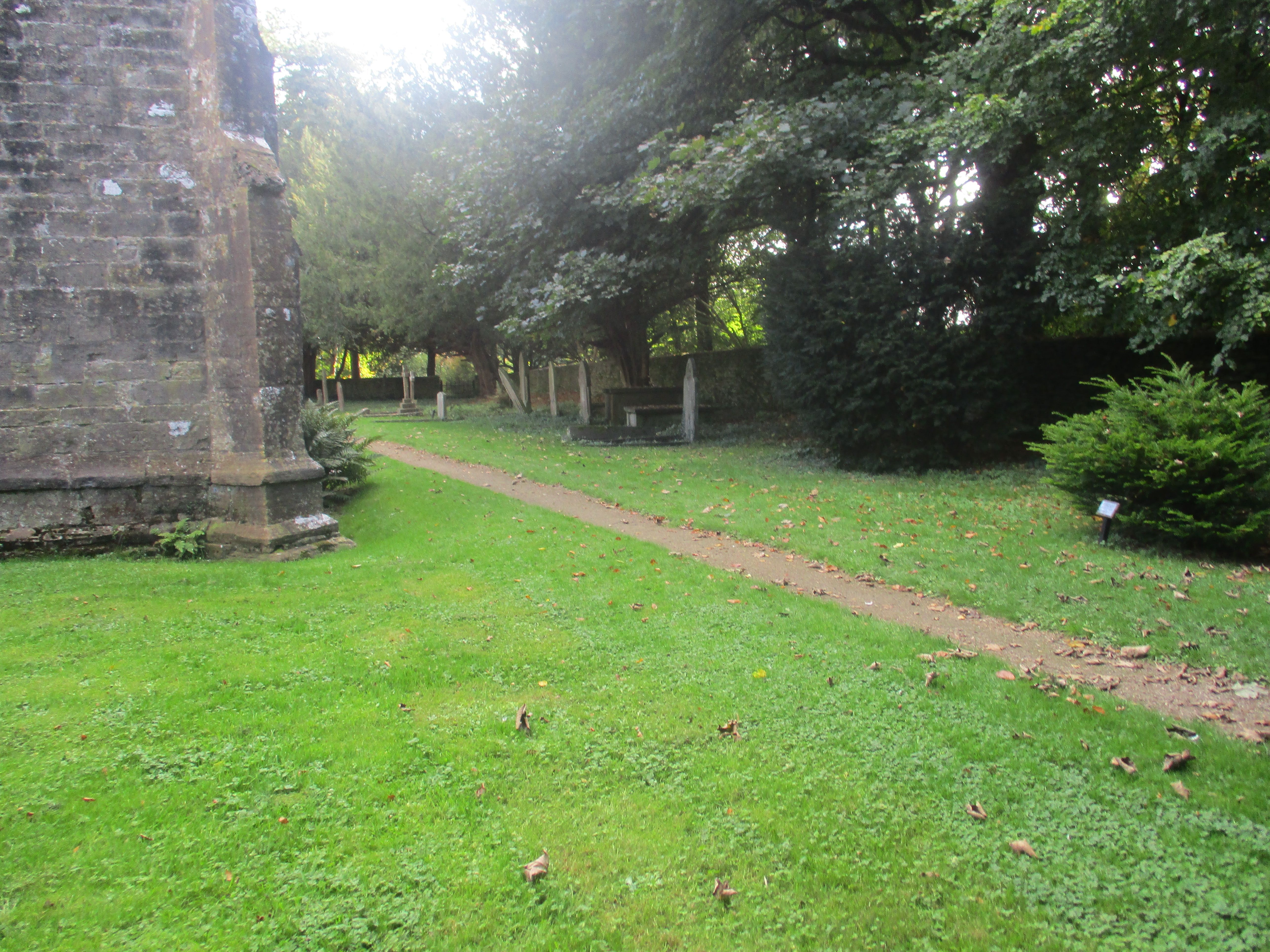
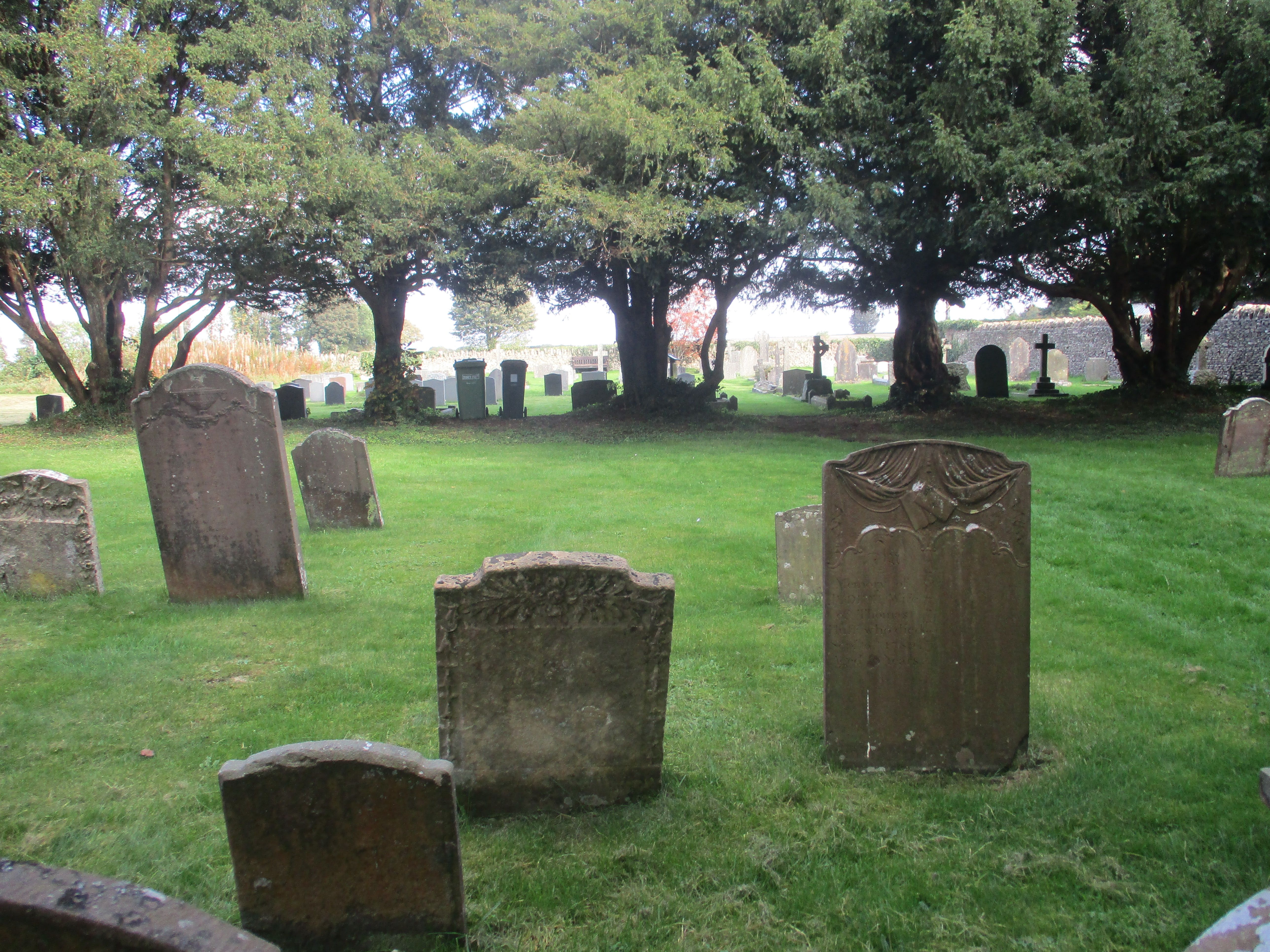
Holy Trinity Churchyard is located at HydesLane Cold Ashton, South Gloucestershire Unitary Authority ,Gloucestershire , SN14 8JSEngland.
-
Holy Trinity Churchyard cemetery's updated grave count on graveviews.com?
356 memorials
-
Where are the coordinates of the Holy Trinity Churchyard?
Latitude: 51.4530440
Longitude: -2.3597430
Nearby Cemetories:
1. St James Churchyard
West Littleton, South Gloucestershire Unitary Authority, England
Coordinate: 51.4780400, -2.3458000
2. St Peter's Churchyard
Dyrham, South Gloucestershire Unitary Authority, England
Coordinate: 51.4804500, -2.3735900
3. St Mary the Virgin Churchyard
Marshfield, South Gloucestershire Unitary Authority, England
Coordinate: 51.4616500, -2.3149230
4. St Mary Magdalene
Langridge, Bath and North East Somerset Unitary Authority, England
Coordinate: 51.4242860, -2.3750640
5. Church of St Catherine
St Catherine, Bath and North East Somerset Unitary Authority, England
Coordinate: 51.4308200, -2.3212100
6. St Catherine Churchyard
Batheaston, Bath and North East Somerset Unitary Authority, England
Coordinate: 51.4307700, -2.3209500
7. Landsdowne Hill Burial Ground
Lansdown, Bath and North East Somerset Unitary Authority, England
Coordinate: 51.4314290, -2.4014230
8. All Saints Churchyard
Woolley, Bath and North East Somerset Unitary Authority, England
Coordinate: 51.4149600, -2.3612130
9. St. Mary the Blessed Virgin Churchyard
Swainswick, Bath and North East Somerset Unitary Authority, England
Coordinate: 51.4142080, -2.3514370
10. St James The Great Churchyard Cemetery
Abson, South Gloucestershire Unitary Authority, England
Coordinate: 51.4716858, -2.4257848
11. Lansdown Cemetery
Lansdown, Bath and North East Somerset Unitary Authority, England
Coordinate: 51.4063620, -2.3780520
12. Blessed Virgin Mary Churchyard
Charlcombe, Bath and North East Somerset Unitary Authority, England
Coordinate: 51.4046040, -2.3629440
13. St John the Baptist Churchyard
Batheaston, Bath and North East Somerset Unitary Authority, England
Coordinate: 51.4097940, -2.3213520
14. St. Martin Churchyard
Northstoke, Bath and North East Somerset Unitary Authority, England
Coordinate: 51.4202400, -2.4273800
15. St Mary Magdelene Churchyard
Tormarton, South Gloucestershire Unitary Authority, England
Coordinate: 51.5082250, -2.3334930
16. St Saviour's Church Crypt
Larkhall, Bath and North East Somerset Unitary Authority, England
Coordinate: 51.3956300, -2.3465100
17. Quaker Burial Ground
Batheaston, Bath and North East Somerset Unitary Authority, England
Coordinate: 51.4024970, -2.3100210
18. Countess of Huntingdon's Chapel
Walcot, Bath and North East Somerset Unitary Authority, England
Coordinate: 51.3967020, -2.3907434
19. All Saints Churchyard
Weston, Bath and North East Somerset Unitary Authority, England
Coordinate: 51.3956850, -2.3881320
20. St Anne's Churchyard
Siston, South Gloucestershire Unitary Authority, England
Coordinate: 51.4752200, -2.4499900
21. St. Nicholas' Churchyard
Bathampton, Bath and North East Somerset Unitary Authority, England
Coordinate: 51.3974090, -2.3216890
22. Independent Burial Ground Argyle Chapel
Bath, Bath and North East Somerset Unitary Authority, England
Coordinate: 51.3925420, -2.3536920
23. Walcot Methodist Chapel Burial Ground
Bath, Bath and North East Somerset Unitary Authority, England
Coordinate: 51.3897080, -2.3579610
24. St John the Baptist Churchyard
Colerne, Wiltshire Unitary Authority, England
Coordinate: 51.4391000, -2.2597000