
| Memorials | : | 194 |
| Location | : | Filey, Scarborough Borough, England |
| Coordinate | : | 54.2128590, -0.2869060 |
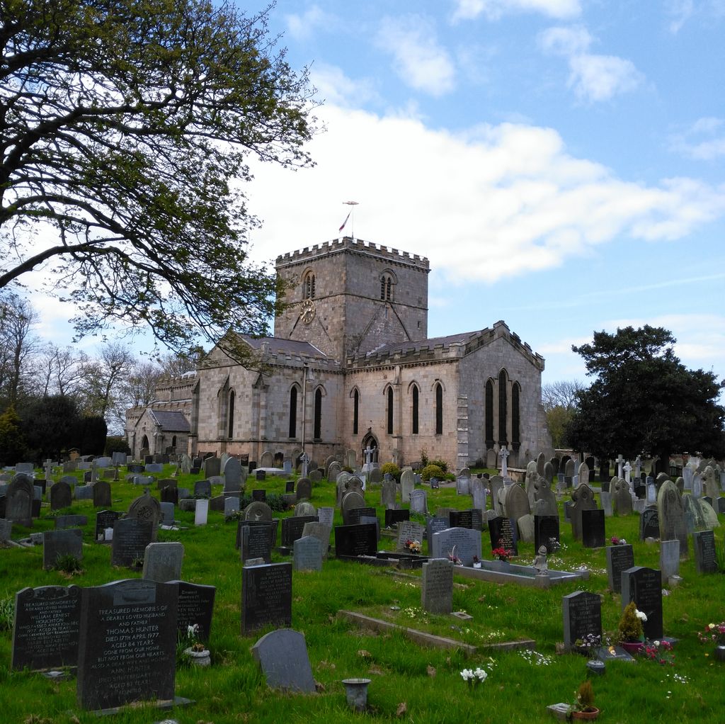
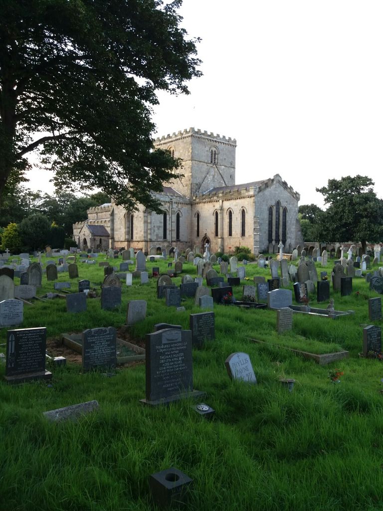
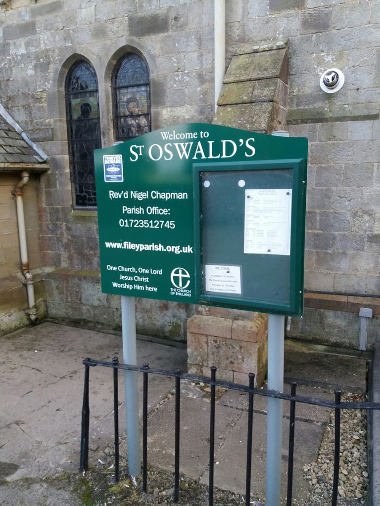
| Description | : | St. Oswald's Church of England is the oldest building in Filey (built in 12th century). |
frequently asked questions (FAQ):
-
Where is St Oswald Churchyard?
St Oswald Churchyard is located at Church Street Filey, Scarborough Borough ,North Yorkshire , YO14 9ADEngland.
-
St Oswald Churchyard cemetery's updated grave count on graveviews.com?
194 memorials
-
Where are the coordinates of the St Oswald Churchyard?
Latitude: 54.2128590
Longitude: -0.2869060
Nearby Cemetories:
1. The Lawns Cemetery
Filey, Scarborough Borough, England
Coordinate: 54.2049300, -0.2953600
2. All Saints Churchyard
Muston, Scarborough Borough, England
Coordinate: 54.2011600, -0.3187500
3. All Saints Churchyard
Hunmanby, Scarborough Borough, England
Coordinate: 54.1813770, -0.3219840
4. God's Acre Cemetery
Hunmanby, Scarborough Borough, England
Coordinate: 54.1742830, -0.3167530
5. St Peter Churchyard
Reighton, Scarborough Borough, England
Coordinate: 54.1602500, -0.2692900
6. Cayton Cemetery
Cayton, Scarborough Borough, England
Coordinate: 54.2314030, -0.3755910
7. St. John the Baptist Churchyard
Cayton, Scarborough Borough, England
Coordinate: 54.2346470, -0.3805180
8. St John The Evangelist Churchyard
Folkton, Scarborough Borough, England
Coordinate: 54.2020400, -0.3865200
9. Flixton Cemetery New
Folkton, Scarborough Borough, England
Coordinate: 54.2006600, -0.3934700
10. Fordon Churchyard
East Riding of Yorkshire Unitary Authority, England
Coordinate: 54.1610140, -0.3939100
11. St Cuthbert Churchyard
Burton Fleming, East Riding of Yorkshire Unitary Authority, England
Coordinate: 54.1357420, -0.3431860
12. St Martin Churchyard
Seamer, Scarborough Borough, England
Coordinate: 54.2361500, -0.4437100
13. Quaker House Church
Scarborough Borough, England
Coordinate: 54.2844280, -0.3941730
14. Scarborough Castle
Scarborough, Scarborough Borough, England
Coordinate: 54.2875810, -0.3895485
15. Greyfriars Abbey
Scarborough, Scarborough Borough, England
Coordinate: 54.2850360, -0.3950300
16. St. Mary's Churchyard
Scarborough, Scarborough Borough, England
Coordinate: 54.2864850, -0.3936260
17. St. Peter's Churchyard
Willerby, Ryedale District, England
Coordinate: 54.1984200, -0.4558500
18. St Michael Churchyard
Bempton, East Riding of Yorkshire Unitary Authority, England
Coordinate: 54.1310270, -0.1784250
19. Dean Road and Manor Road Cemetery
Scarborough, Scarborough Borough, England
Coordinate: 54.2843690, -0.4184140
20. Woodlands Cemetery and Crematorium
Scarborough, Scarborough Borough, England
Coordinate: 54.2766640, -0.4428030
21. St Andrew Churchyard
Boynton, East Riding of Yorkshire Unitary Authority, England
Coordinate: 54.0950500, -0.2635100
22. St. John the Baptist Churchyard
East Ayton, Scarborough Borough, England
Coordinate: 54.2508900, -0.4792900
23. St Nicholas Churchyard
Ganton, Ryedale District, England
Coordinate: 54.1846000, -0.4846000
24. Priory Church of St. Mary Churchyard
Bridlington, East Riding of Yorkshire Unitary Authority, England
Coordinate: 54.0943730, -0.2018530