
| Memorials | : | 0 |
| Location | : | Lynesack, Durham Unitary Authority, England |
| Coordinate | : | 54.6299000, -1.8607870 |
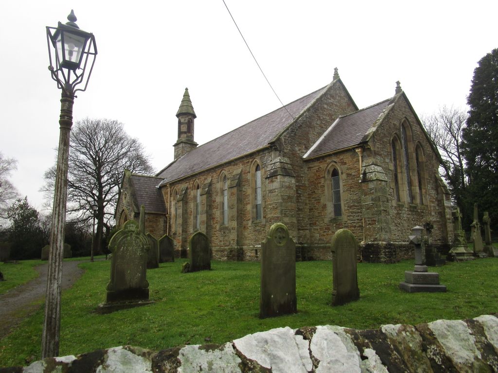
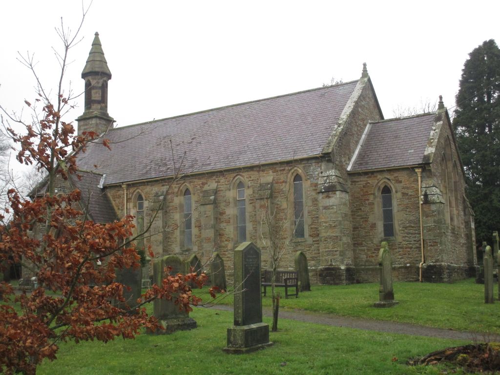
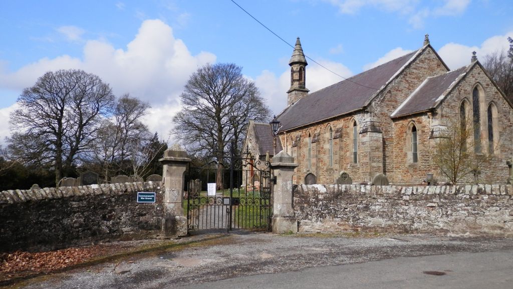
| Description | : | Burials commenced in the churchyard from December 1848. From the opening of Lynesack Cemetery 10th May 1964 only a small number of burials continued in the churchyard. |
frequently asked questions (FAQ):
-
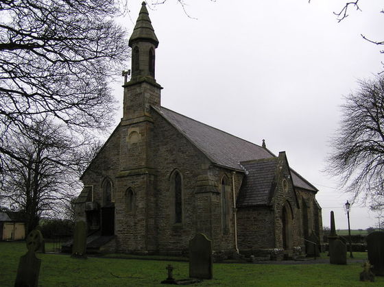
Where is St. John the Evangelist Churchyard?
St. John the Evangelist Churchyard is located at Grewburn Lane (North) Lynesack, Durham Unitary Authority ,County Durham , DL13 5QGEngland.
-
St. John the Evangelist Churchyard cemetery's updated grave count on graveviews.com?
0 memorials
-
Where are the coordinates of the St. John the Evangelist Churchyard?
Latitude: 54.6299000
Longitude: -1.8607870
Nearby Cemetories:
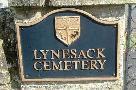
1. Lynesack Cemetery
Lynesack, Durham Unitary Authority, England
Coordinate: 54.6301930, -1.8601710
2. Cockfield Cemetery
Cockfield, Durham Unitary Authority, England
Coordinate: 54.6156200, -1.8004200
3. St Mary the Virgin Churchyard
Cockfield, Durham Unitary Authority, England
Coordinate: 54.6131690, -1.8017530
4. Hamsterley Baptist Church Cemetery
Hamsterley, Durham Unitary Authority, England
Coordinate: 54.6745490, -1.8176480
5. St James Churchyard
Hamsterley, Durham Unitary Authority, England
Coordinate: 54.6729590, -1.8041290
6. Hamsterley Cemetery
Hamsterley, Durham Unitary Authority, England
Coordinate: 54.6733200, -1.8047700
7. Evenwood Cemetery
Evenwood, Durham Unitary Authority, England
Coordinate: 54.6252441, -1.7635630
8. Etherley Cemetery
Etherley, Durham Unitary Authority, England
Coordinate: 54.6444410, -1.7431220
9. St. Cuthbert Churchyard
Etherley, Durham Unitary Authority, England
Coordinate: 54.6494200, -1.7450100
10. Holy Trinity Churchyard
Eggleston, Durham Unitary Authority, England
Coordinate: 54.6082390, -2.0037610
11. Chapel of Ease
Eggleston, Durham Unitary Authority, England
Coordinate: 54.6058000, -2.0050000
12. St John the Evangelist Churchyard
Ingleton, Durham Unitary Authority, England
Coordinate: 54.5795310, -1.7326110
13. Victoria Road Cemetery
Barnard Castle, Durham Unitary Authority, England
Coordinate: 54.5456000, -1.9183000
14. St Mary the Virgin
Howden-le-Wear, Durham Unitary Authority, England
Coordinate: 54.6947300, -1.7506400
15. Cotherstone Friends Burial Ground
Cotherstone, Durham Unitary Authority, England
Coordinate: 54.5722230, -1.9824740
16. Barnard Castle Dissenters Cemetery
Barnard Castle, Durham Unitary Authority, England
Coordinate: 54.5451000, -1.9182900
17. Romaldkirk Cemetery
Romaldkirk, Durham Unitary Authority, England
Coordinate: 54.5977800, -2.0083200
18. Escomb Cemetery
Escomb, Durham Unitary Authority, England
Coordinate: 54.6612500, -1.7121500
19. Roman Catholic Cemetery
Barnard Castle, Durham Unitary Authority, England
Coordinate: 54.5442300, -1.9184500
20. Cotherstone Cemetery
Cotherstone, Durham Unitary Authority, England
Coordinate: 54.5680830, -1.9804850
21. St. Romald Churchyard
Romaldkirk, Durham Unitary Authority, England
Coordinate: 54.5941550, -2.0089636
22. Howden-le-Wear Cemetery
Howden-le-Wear, Durham Unitary Authority, England
Coordinate: 54.6977300, -1.7484900
23. St Mary's Roman Catholic Church
Barnard Castle, Durham Unitary Authority, England
Coordinate: 54.5414010, -1.9183080
24. Escomb Churchyard
Escomb, Durham Unitary Authority, England
Coordinate: 54.6658090, -1.7084060