
| Memorials | : | 0 |
| Location | : | Romaldkirk, Durham Unitary Authority, England |
| Coordinate | : | 54.5977800, -2.0083200 |
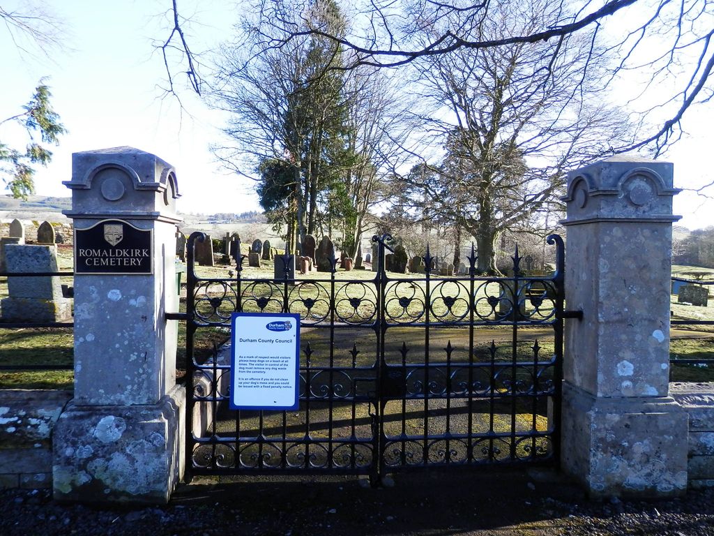
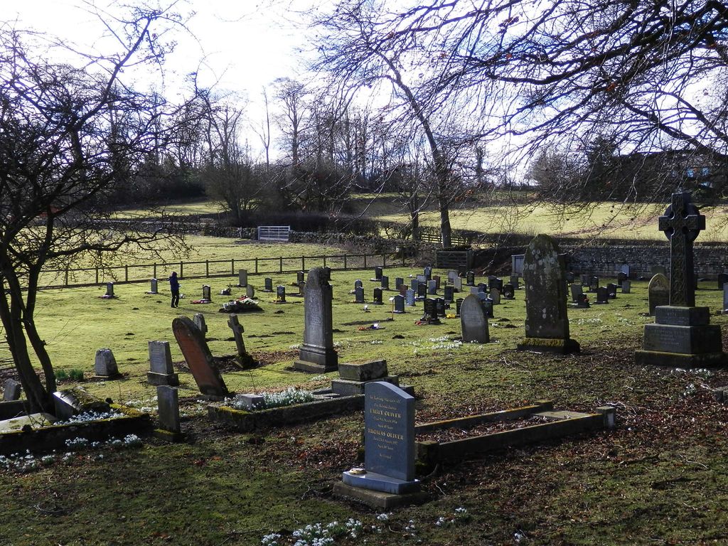
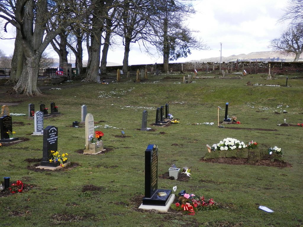
| Description | : | Romaldkirk, previously part of the North Riding of Yorkshire, was incorporated into County Durham for administrative purposes on 1st April 1974, under provisions of the Local Government Act 1972. The cemetery north of the village of Romaldkirk opened in the late 19th century to ease congestion in the churchyard (which is now closed except for the interment of cremated ashes) around Saint Romald’s in the village centre. |
frequently asked questions (FAQ):
-
Where is Romaldkirk Cemetery?
Romaldkirk Cemetery is located at Eggleston Lane Romaldkirk, Durham Unitary Authority ,County Durham ,England.
-
Romaldkirk Cemetery cemetery's updated grave count on graveviews.com?
0 memorials
-
Where are the coordinates of the Romaldkirk Cemetery?
Latitude: 54.5977800
Longitude: -2.0083200
Nearby Cemetories:
1. St. Romald Churchyard
Romaldkirk, Durham Unitary Authority, England
Coordinate: 54.5941550, -2.0089636
2. Chapel of Ease
Eggleston, Durham Unitary Authority, England
Coordinate: 54.6058000, -2.0050000
3. Holy Trinity Churchyard
Eggleston, Durham Unitary Authority, England
Coordinate: 54.6082390, -2.0037610
4. Cotherstone Friends Burial Ground
Cotherstone, Durham Unitary Authority, England
Coordinate: 54.5722230, -1.9824740
5. Cotherstone Cemetery
Cotherstone, Durham Unitary Authority, England
Coordinate: 54.5680830, -1.9804850
6. Lune Chapel Churchyard
Laithkirk, Durham Unitary Authority, England
Coordinate: 54.6115800, -2.0717400
7. Middleton On Teesdale Churchyard
Middleton-in-Teesdale, Durham Unitary Authority, England
Coordinate: 54.6257980, -2.0825420
8. Victoria Road Cemetery
Barnard Castle, Durham Unitary Authority, England
Coordinate: 54.5456000, -1.9183000
9. Barnard Castle Dissenters Cemetery
Barnard Castle, Durham Unitary Authority, England
Coordinate: 54.5451000, -1.9182900
10. Roman Catholic Cemetery
Barnard Castle, Durham Unitary Authority, England
Coordinate: 54.5442300, -1.9184500
11. St. Mary's Churchyard
Barnard Castle, Durham Unitary Authority, England
Coordinate: 54.5416950, -1.9230780
12. St Mary's Roman Catholic Church
Barnard Castle, Durham Unitary Authority, England
Coordinate: 54.5414010, -1.9183080
13. St Giles Churchyard
Bowes, Durham Unitary Authority, England
Coordinate: 54.5169000, -2.0124000
14. Bowes and Gilmonby Cemetery
Bowes, Durham Unitary Authority, England
Coordinate: 54.5164600, -2.0124100
15. Eggleston Abbey
Barnard Castle, Durham Unitary Authority, England
Coordinate: 54.5311600, -1.9049600
16. St. John the Evangelist Churchyard
Lynesack, Durham Unitary Authority, England
Coordinate: 54.6299000, -1.8607870
17. Lynesack Cemetery
Lynesack, Durham Unitary Authority, England
Coordinate: 54.6301930, -1.8601710
18. Saint Mary's Churchyard
Rokeby, Durham Unitary Authority, England
Coordinate: 54.5193100, -1.8894300
19. St Mary's Churchyard
Brignall, Durham Unitary Authority, England
Coordinate: 54.5061090, -1.8896890
20. Brignall Old Churchyard
Brignall, Durham Unitary Authority, England
Coordinate: 54.5051000, -1.8826400
21. St Mary the Virgin Churchyard
Cockfield, Durham Unitary Authority, England
Coordinate: 54.6131690, -1.8017530
22. Cockfield Cemetery
Cockfield, Durham Unitary Authority, England
Coordinate: 54.6156200, -1.8004200
23. Rey Cross
Eden District, England
Coordinate: 54.5057950, -2.1486260
24. Saint Michael's Churchyard
Frosterley, Durham Unitary Authority, England
Coordinate: 54.7270600, -1.9597500