
| Memorials | : | 0 |
| Location | : | Barnard Castle, Durham Unitary Authority, England |
| Coordinate | : | 54.5442300, -1.9184500 |
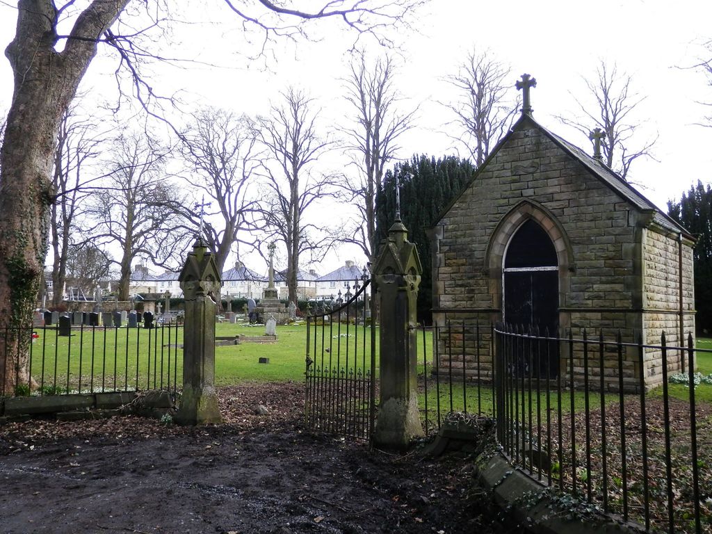
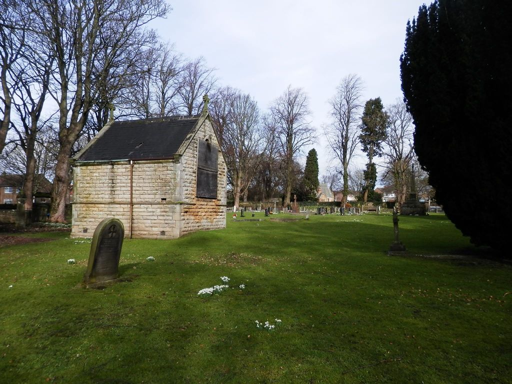
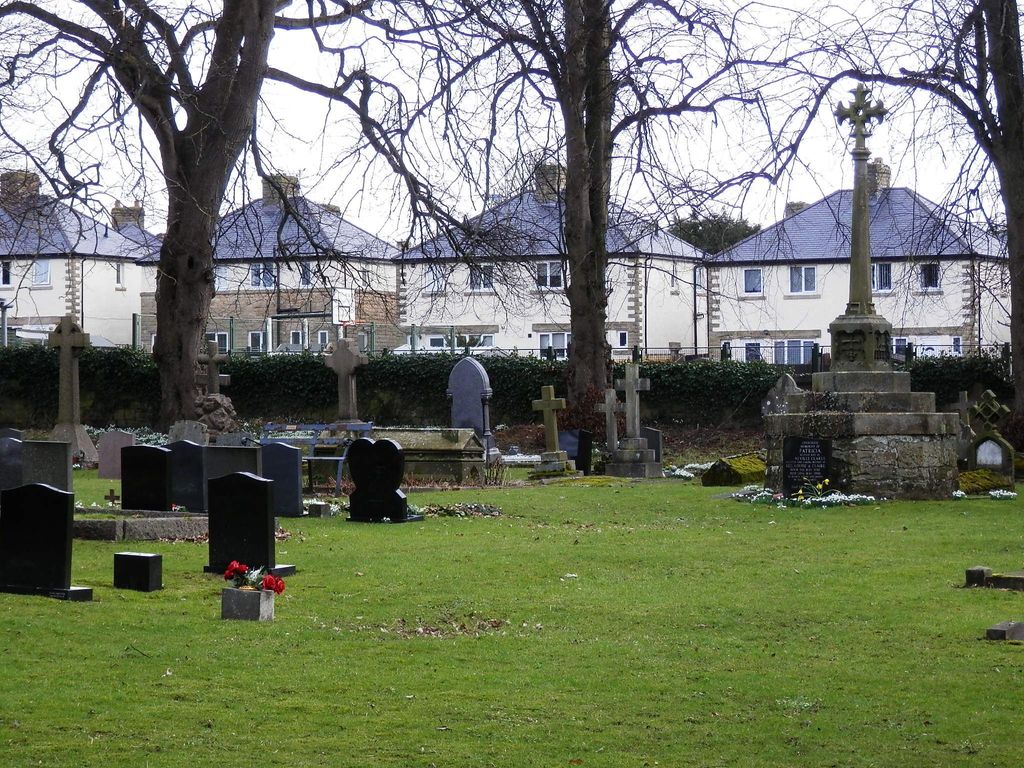
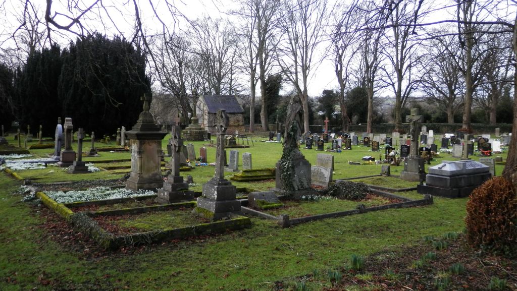
| Description | : | Separately walled cemetery with a small chapel in the area which includes the Church of England and Non-conformist sections of the Victoria Road cemetery. The Roman Catholic church of St Mary on Birch Road, Barnard Castle, in what was a corner of the Bowes Museum park, is of 20th century construction and does not have a churchyard as such, although there are memorials to the founder family of the Bowes Museum. Before this, the Catholic parish, established in 1845, was centred on the former Union Hall on Ware Street in the centre of town (now demolished to make way... Read More |
frequently asked questions (FAQ):
-
Where is Roman Catholic Cemetery?
Roman Catholic Cemetery is located at Barnard Castle, Durham Unitary Authority ,County Durham ,England.
-
Roman Catholic Cemetery cemetery's updated grave count on graveviews.com?
0 memorials
-
Where are the coordinates of the Roman Catholic Cemetery?
Latitude: 54.5442300
Longitude: -1.9184500
Nearby Cemetories:
1. Barnard Castle Dissenters Cemetery
Barnard Castle, Durham Unitary Authority, England
Coordinate: 54.5451000, -1.9182900
2. Victoria Road Cemetery
Barnard Castle, Durham Unitary Authority, England
Coordinate: 54.5456000, -1.9183000
3. St Mary's Roman Catholic Church
Barnard Castle, Durham Unitary Authority, England
Coordinate: 54.5414010, -1.9183080
4. St. Mary's Churchyard
Barnard Castle, Durham Unitary Authority, England
Coordinate: 54.5416950, -1.9230780
5. Eggleston Abbey
Barnard Castle, Durham Unitary Authority, England
Coordinate: 54.5311600, -1.9049600
6. Saint Mary's Churchyard
Rokeby, Durham Unitary Authority, England
Coordinate: 54.5193100, -1.8894300
7. St Mary's Churchyard
Brignall, Durham Unitary Authority, England
Coordinate: 54.5061090, -1.8896890
8. Cotherstone Cemetery
Cotherstone, Durham Unitary Authority, England
Coordinate: 54.5680830, -1.9804850
9. Brignall Old Churchyard
Brignall, Durham Unitary Authority, England
Coordinate: 54.5051000, -1.8826400
10. Cotherstone Friends Burial Ground
Cotherstone, Durham Unitary Authority, England
Coordinate: 54.5722230, -1.9824740
11. St Giles Churchyard
Bowes, Durham Unitary Authority, England
Coordinate: 54.5169000, -2.0124000
12. Bowes and Gilmonby Cemetery
Bowes, Durham Unitary Authority, England
Coordinate: 54.5164600, -2.0124100
13. St Michael and All Angels Churchyard
Barningham, Durham Unitary Authority, England
Coordinate: 54.4895190, -1.8691942
14. St. Romald Churchyard
Romaldkirk, Durham Unitary Authority, England
Coordinate: 54.5941550, -2.0089636
15. Romaldkirk Cemetery
Romaldkirk, Durham Unitary Authority, England
Coordinate: 54.5977800, -2.0083200
16. Saint Mary’s Churchyard
Hutton Magna, Durham Unitary Authority, England
Coordinate: 54.5074500, -1.8060900
17. Chapel of Ease
Eggleston, Durham Unitary Authority, England
Coordinate: 54.6058000, -2.0050000
18. Holy Trinity Churchyard
Eggleston, Durham Unitary Authority, England
Coordinate: 54.6082390, -2.0037610
19. St. John the Evangelist Churchyard
Lynesack, Durham Unitary Authority, England
Coordinate: 54.6299000, -1.8607870
20. Lynesack Cemetery
Lynesack, Durham Unitary Authority, England
Coordinate: 54.6301930, -1.8601710
21. St Mary the Virgin Churchyard
Cockfield, Durham Unitary Authority, England
Coordinate: 54.6131690, -1.8017530
22. Cockfield Cemetery
Cockfield, Durham Unitary Authority, England
Coordinate: 54.6156200, -1.8004200
23. St. Hilda's Churchyard
Caldwell, Richmondshire District, England
Coordinate: 54.5156390, -1.7508220
24. Gainford Cemetery
Gainford, Durham Unitary Authority, England
Coordinate: 54.5441400, -1.7417800