
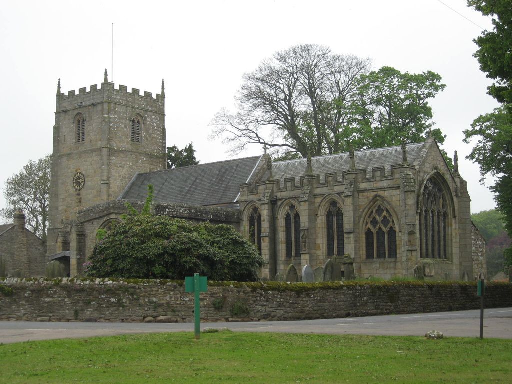
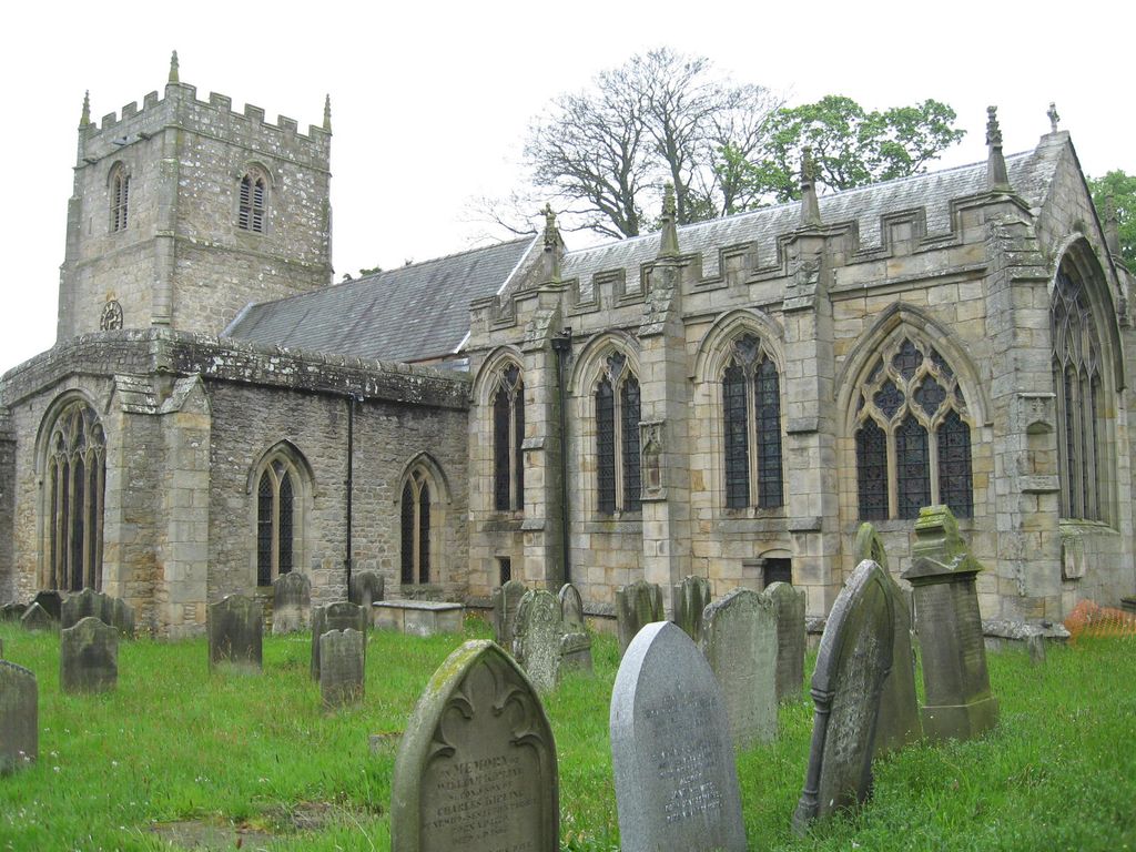
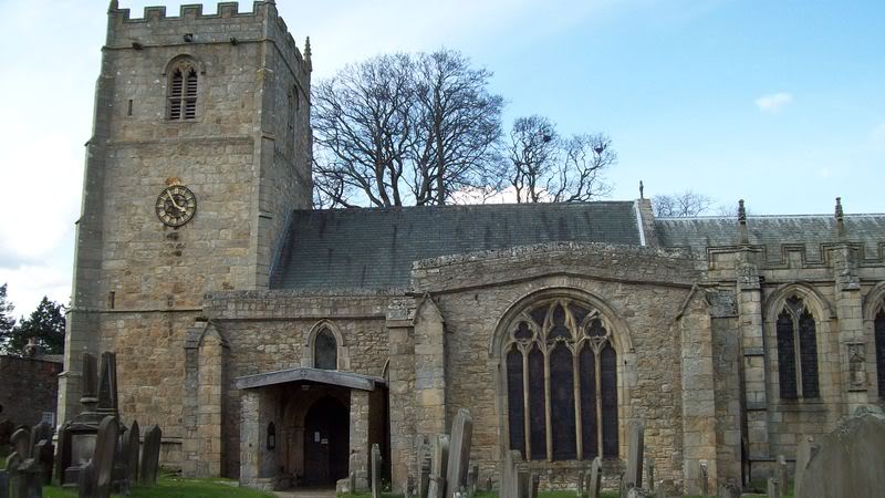
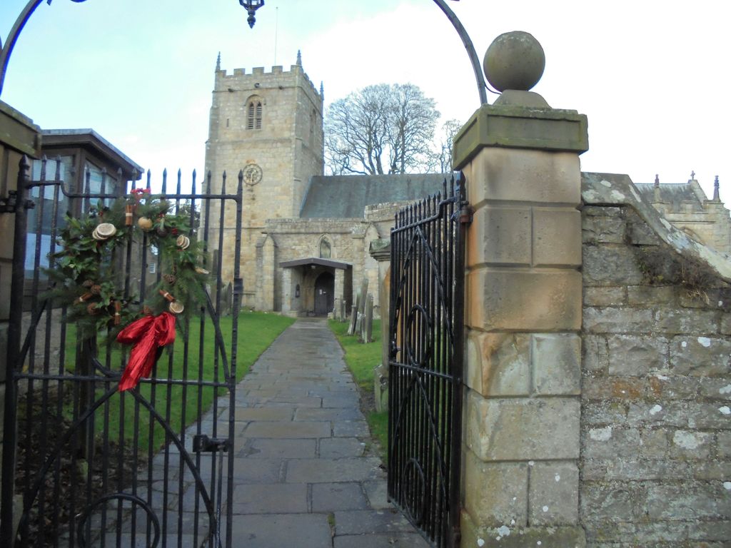
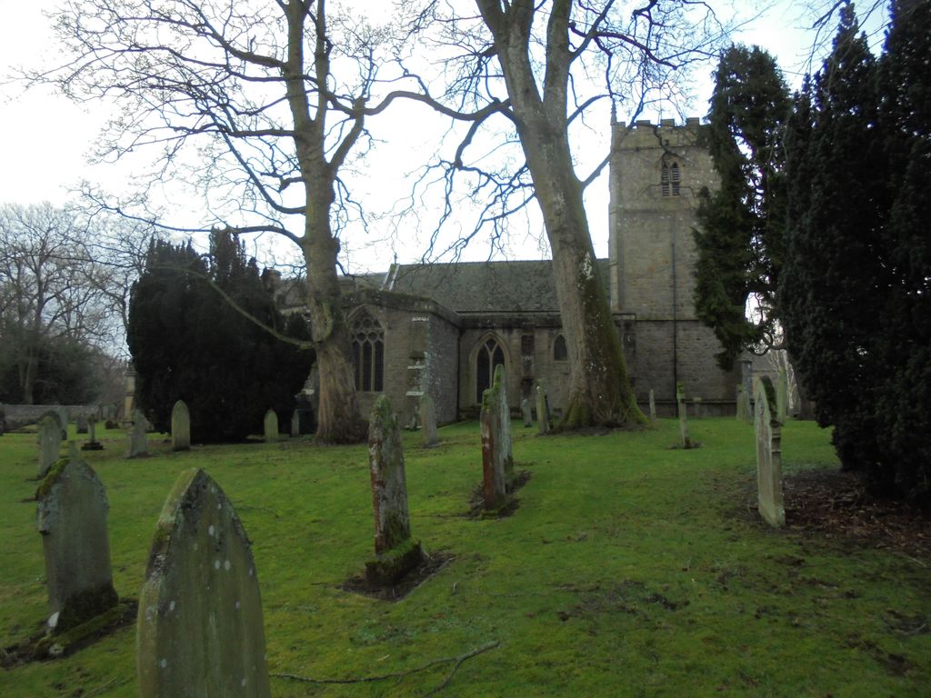
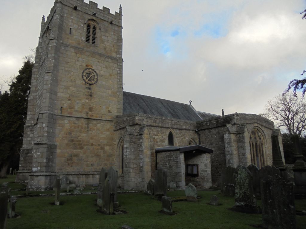
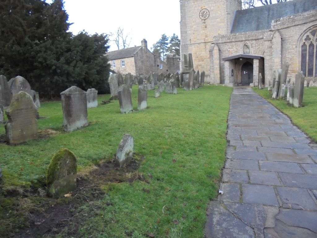
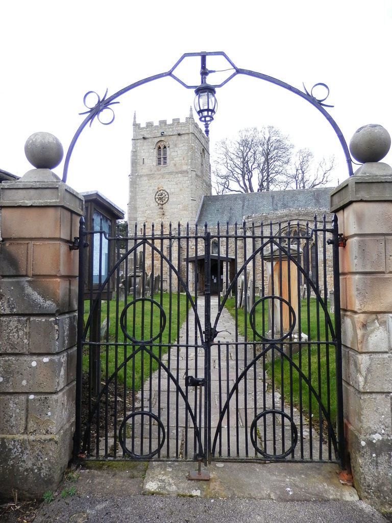
| Memorials | : | 1 |
| Location | : | Romaldkirk, Durham Unitary Authority, England |
| Coordinate | : | 54.5941550, -2.0089636 |
frequently asked questions (FAQ):
-
Where is St. Romald Churchyard?
St. Romald Churchyard is located at Romaldkirk, Durham Unitary Authority ,County Durham ,England.
-
St. Romald Churchyard cemetery's updated grave count on graveviews.com?
1 memorials
-
Where are the coordinates of the St. Romald Churchyard?
Latitude: 54.5941550
Longitude: -2.0089636
Nearby Cemetories:
1. Romaldkirk Cemetery
Romaldkirk, Durham Unitary Authority, England
Coordinate: 54.5977800, -2.0083200
2. Chapel of Ease
Eggleston, Durham Unitary Authority, England
Coordinate: 54.6058000, -2.0050000
3. Holy Trinity Churchyard
Eggleston, Durham Unitary Authority, England
Coordinate: 54.6082390, -2.0037610
4. Cotherstone Friends Burial Ground
Cotherstone, Durham Unitary Authority, England
Coordinate: 54.5722230, -1.9824740
5. Cotherstone Cemetery
Cotherstone, Durham Unitary Authority, England
Coordinate: 54.5680830, -1.9804850
6. Lune Chapel Churchyard
Laithkirk, Durham Unitary Authority, England
Coordinate: 54.6115800, -2.0717400
7. Middleton On Teesdale Churchyard
Middleton-in-Teesdale, Durham Unitary Authority, England
Coordinate: 54.6257980, -2.0825420
8. Victoria Road Cemetery
Barnard Castle, Durham Unitary Authority, England
Coordinate: 54.5456000, -1.9183000
9. Barnard Castle Dissenters Cemetery
Barnard Castle, Durham Unitary Authority, England
Coordinate: 54.5451000, -1.9182900
10. St. Mary's Churchyard
Barnard Castle, Durham Unitary Authority, England
Coordinate: 54.5416950, -1.9230780
11. Roman Catholic Cemetery
Barnard Castle, Durham Unitary Authority, England
Coordinate: 54.5442300, -1.9184500
12. St Mary's Roman Catholic Church
Barnard Castle, Durham Unitary Authority, England
Coordinate: 54.5414010, -1.9183080
13. St Giles Churchyard
Bowes, Durham Unitary Authority, England
Coordinate: 54.5169000, -2.0124000
14. Bowes and Gilmonby Cemetery
Bowes, Durham Unitary Authority, England
Coordinate: 54.5164600, -2.0124100
15. Eggleston Abbey
Barnard Castle, Durham Unitary Authority, England
Coordinate: 54.5311600, -1.9049600
16. St. John the Evangelist Churchyard
Lynesack, Durham Unitary Authority, England
Coordinate: 54.6299000, -1.8607870
17. Lynesack Cemetery
Lynesack, Durham Unitary Authority, England
Coordinate: 54.6301930, -1.8601710
18. Saint Mary's Churchyard
Rokeby, Durham Unitary Authority, England
Coordinate: 54.5193100, -1.8894300
19. St Mary's Churchyard
Brignall, Durham Unitary Authority, England
Coordinate: 54.5061090, -1.8896890
20. Brignall Old Churchyard
Brignall, Durham Unitary Authority, England
Coordinate: 54.5051000, -1.8826400
21. Rey Cross
Eden District, England
Coordinate: 54.5057950, -2.1486260
22. St Mary the Virgin Churchyard
Cockfield, Durham Unitary Authority, England
Coordinate: 54.6131690, -1.8017530
23. Cockfield Cemetery
Cockfield, Durham Unitary Authority, England
Coordinate: 54.6156200, -1.8004200
24. St Michael and All Angels Churchyard
Barningham, Durham Unitary Authority, England
Coordinate: 54.4895190, -1.8691942