
| Memorials | : | 6 |
| Location | : | Sleights, Scarborough Borough, England |
| Coordinate | : | 54.4503500, -0.6651200 |
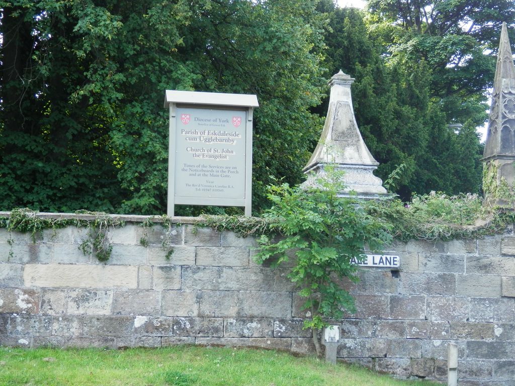
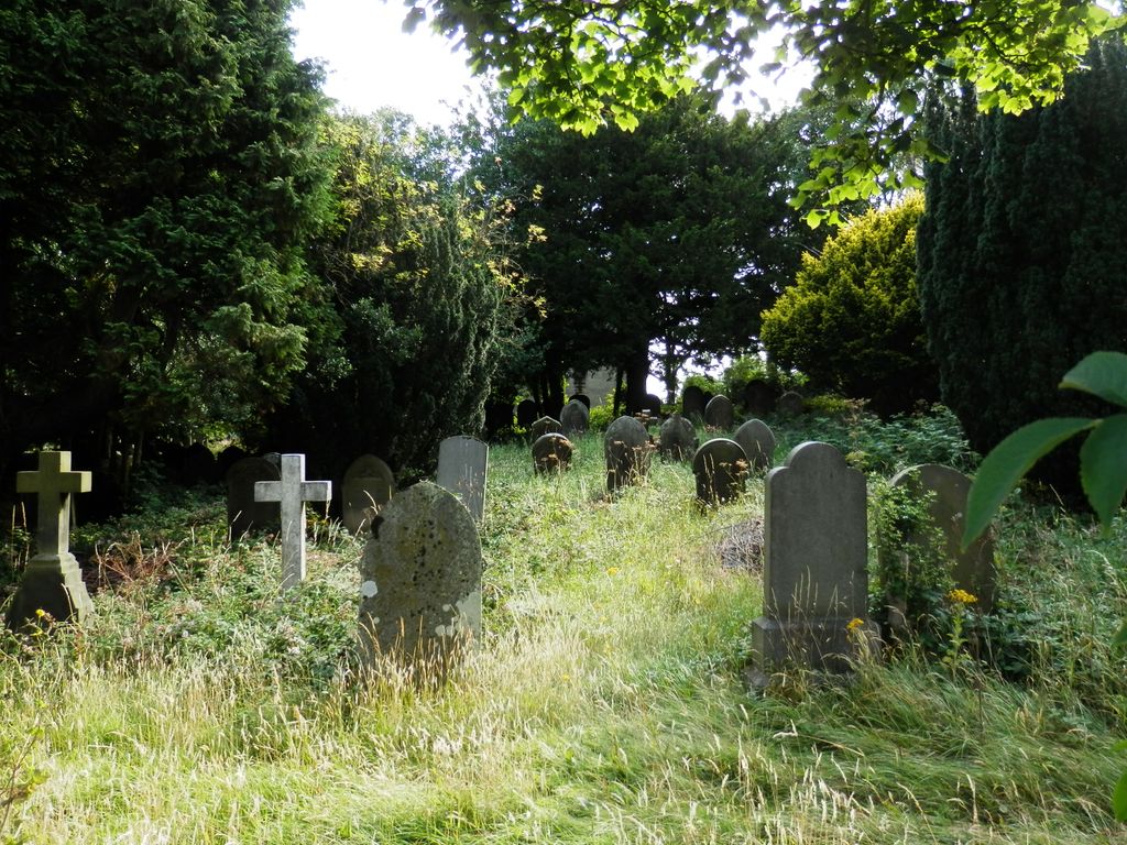
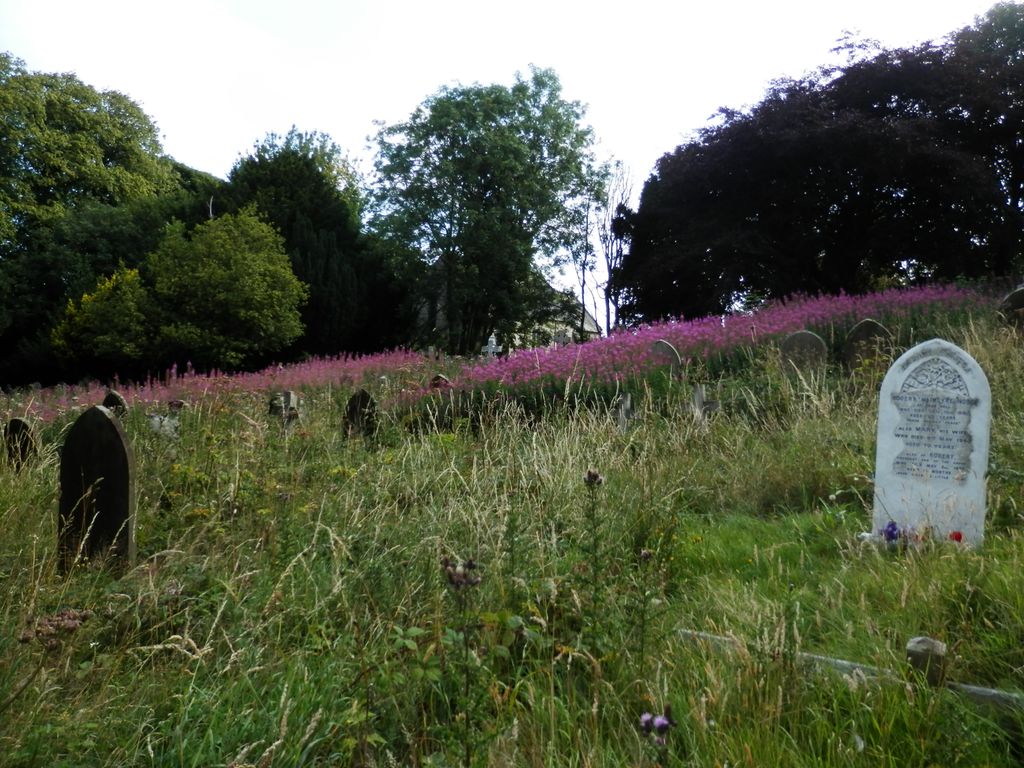
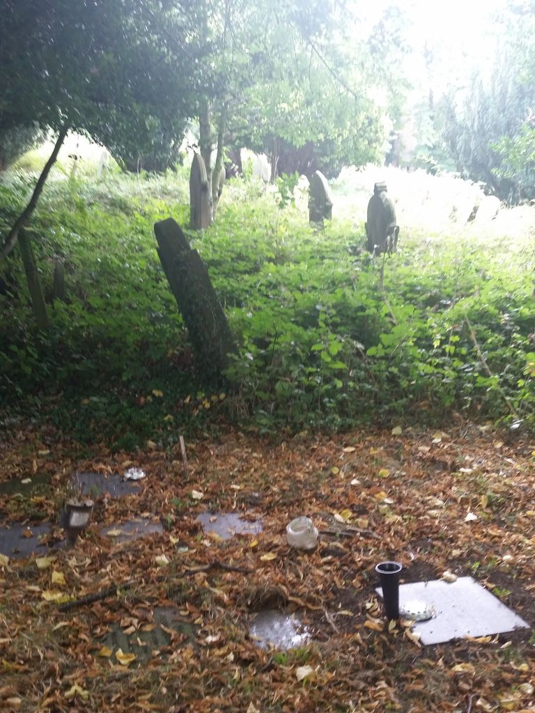
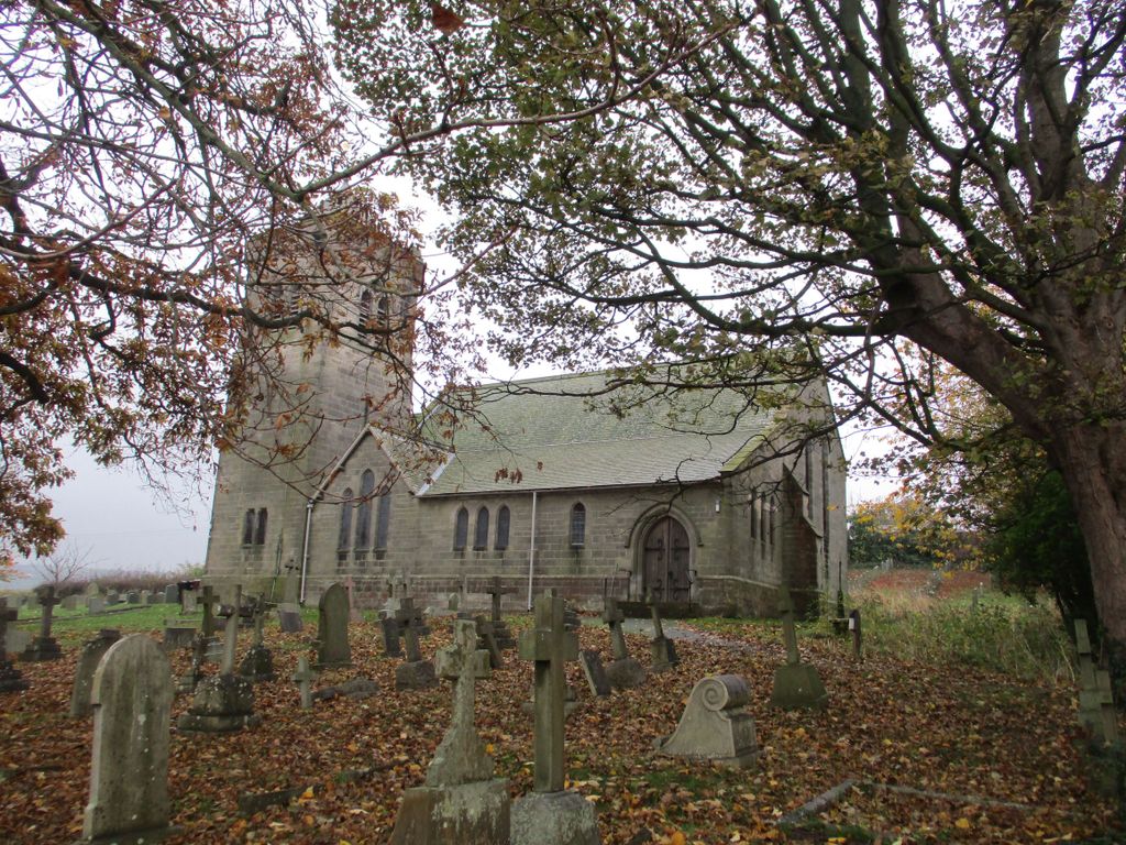
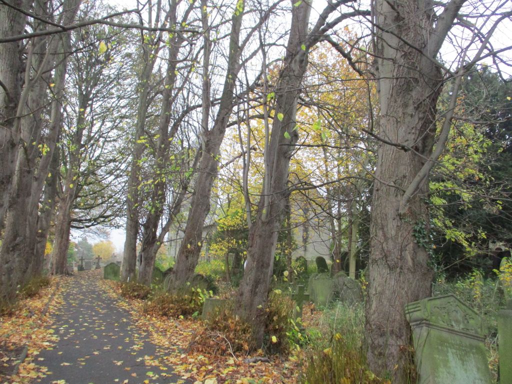
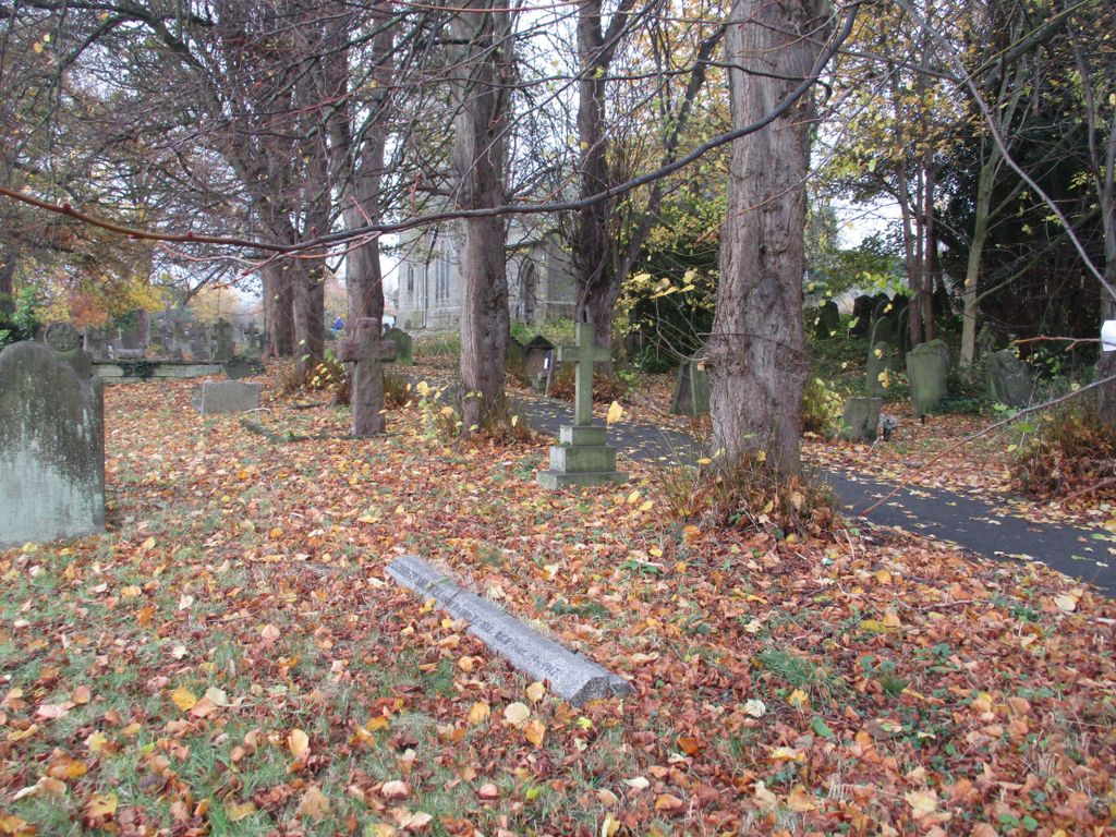
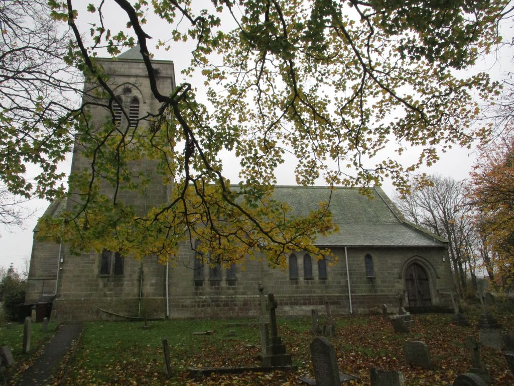
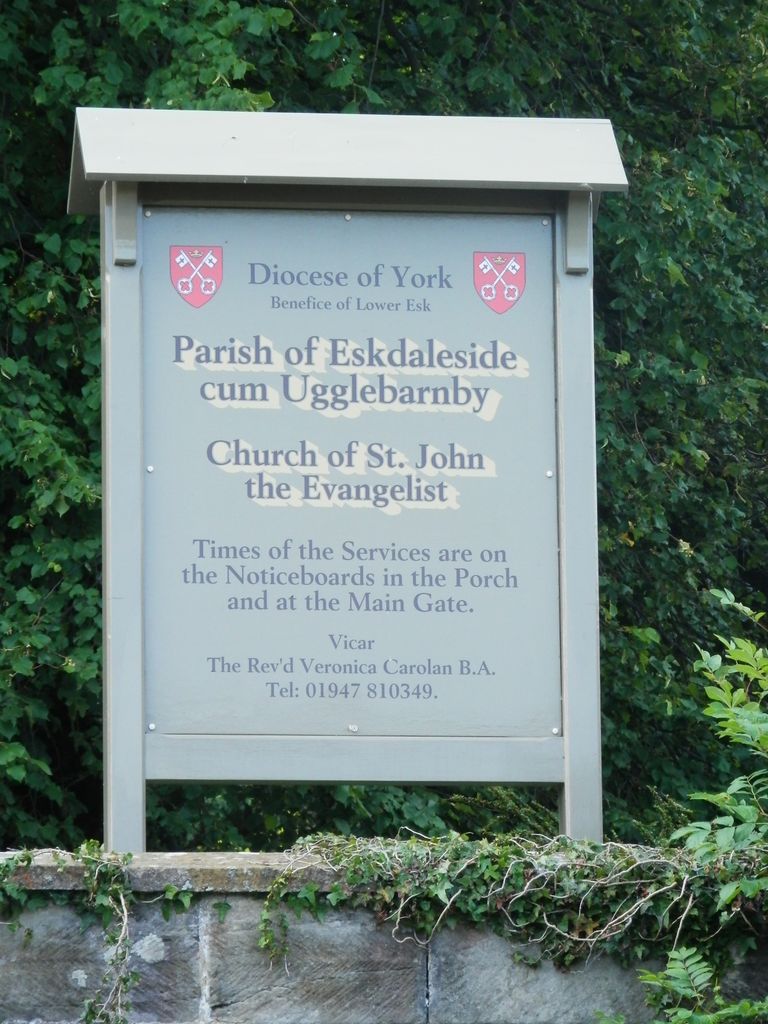
| Description | : | Sleights is a village in the Esk Valley in the postal region of Whitby, and is part of the borough of Scarborough, North Yorkshire, England. The village lies along the steep main A169 road that runs north to south between Whitby and Pickering across the North York Moors. St John the Evangelist, Parish Church of Eskdaleside cum Ugglebarnby (comprising the two villages of Sleights and Ugglebarnby), was built in 1894 replacing the earlier Georgian chapel constructed in 1765. St John's features include Grade II listed gates and a peaceful churchyard, which has been developed as a haven for plants and wildlife.... Read More |
frequently asked questions (FAQ):
-
Where is St John the Evangelist Churchyard?
St John the Evangelist Churchyard is located at Sleights, Scarborough Borough ,North Yorkshire ,England.
-
St John the Evangelist Churchyard cemetery's updated grave count on graveviews.com?
4 memorials
-
Where are the coordinates of the St John the Evangelist Churchyard?
Latitude: 54.4503500
Longitude: -0.6651200
Nearby Cemetories:
1. All Saints Churchyard
Ugglebarnby, Scarborough Borough, England
Coordinate: 54.4522340, -0.6446610
2. St. Margaret's Churchyard
Aislaby, Scarborough Borough, England
Coordinate: 54.4653900, -0.6792400
3. St. Hilda's Churchyard
Sneaton, Scarborough Borough, England
Coordinate: 54.4579490, -0.6226930
4. St Hilda Priory Cemetery
Whitby, Scarborough Borough, England
Coordinate: 54.4823300, -0.6431400
5. St Matthew Churchyard
Grosmont, Scarborough Borough, England
Coordinate: 54.4348410, -0.7243950
6. Whitby Cemetery
Whitby, Scarborough Borough, England
Coordinate: 54.4755000, -0.6106500
7. Quaker Burial Ground
Whitby, Scarborough Borough, England
Coordinate: 54.4847790, -0.6194700
8. St. Mary the Virgin Churchyard
Whitby, Scarborough Borough, England
Coordinate: 54.4888400, -0.6093420
9. Whitby Abbey
Whitby, Scarborough Borough, England
Coordinate: 54.4883230, -0.6073850
10. All Saints Churchyard
High Hawsker, Scarborough Borough, England
Coordinate: 54.4624580, -0.5785000
11. St Hilda Churchyard
Egton, Scarborough Borough, England
Coordinate: 54.4414240, -0.7535720
12. St Oswald Churchyard
Lythe, Scarborough Borough, England
Coordinate: 54.5065120, -0.6885870
13. Egton Cemetery
Egton, Scarborough Borough, England
Coordinate: 54.4482300, -0.7690700
14. St Mary Churchyard
Goathland, Scarborough Borough, England
Coordinate: 54.3950300, -0.7266400
15. St. Stephen Old Churchyard
Fylingdales, Scarborough Borough, England
Coordinate: 54.4400890, -0.5496350
16. Christ Church Churchyard
Ugthorpe, Scarborough Borough, England
Coordinate: 54.4892300, -0.7672700
17. St. Stephen's New Churchyard
Robin Hoods Bay, Scarborough Borough, England
Coordinate: 54.4341460, -0.5394280
18. Ebenezers Baptist Church
Scarborough Borough, England
Coordinate: 54.3744655, -0.6557164
19. St Thomas Churchyard
Glaisdale, Scarborough Borough, England
Coordinate: 54.4373700, -0.8083400
20. Our Lady of Sacred Heart Roman Catholic Churchyard
Lealholm, Scarborough Borough, England
Coordinate: 54.4592200, -0.8234600
21. St James the Greater Churchyard
Lealholm, Scarborough Borough, England
Coordinate: 54.4586200, -0.8240300
22. Quaker Burial Ground
Lealholm, Scarborough Borough, England
Coordinate: 54.4575270, -0.8285030
23. Glaisdale Head Methodist Church
Glaisdale, Scarborough Borough, England
Coordinate: 54.4294940, -0.8331749
24. St. Hilda Churchyard
Hinderwell, Scarborough Borough, England
Coordinate: 54.5422400, -0.7784600