
| Memorials | : | 0 |
| Location | : | Lealholm, Scarborough Borough, England |
| Website | : | www.hidden-teesside.co.uk/2013/10/24/quaker-burial-ground-lealholm/?msclkid=4b71f6d8a22111ecbd20e2fa84935851 |
| Coordinate | : | 54.4575270, -0.8285030 |
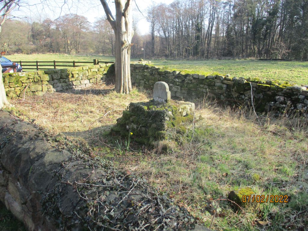
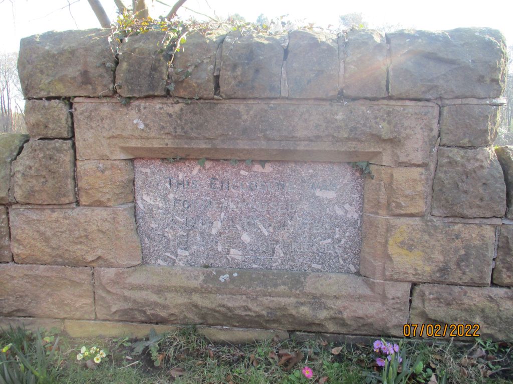
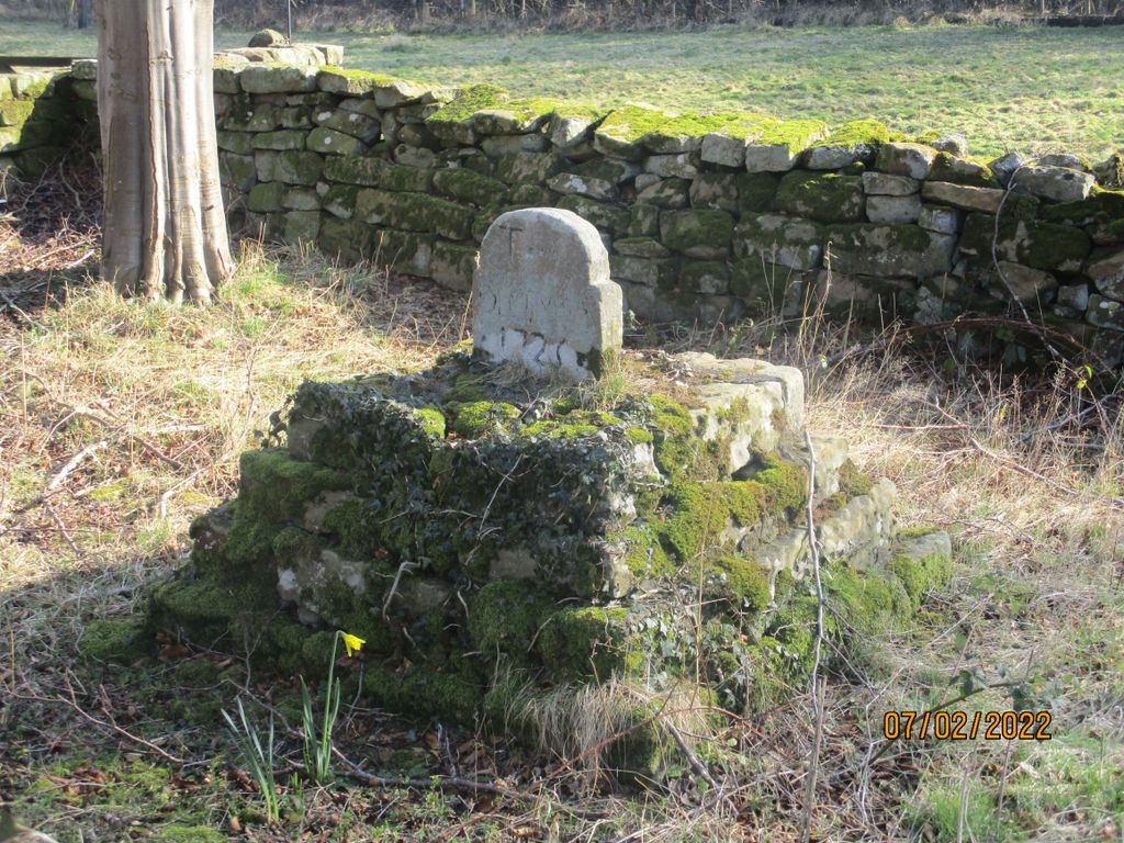
| Description | : | The enclosure was used as a burial ground by The Society of Friends |
frequently asked questions (FAQ):
-
Where is Quaker Burial Ground?
Quaker Burial Ground is located at Lealholm Lealholm, Scarborough Borough ,North Yorkshire ,England.
-
Quaker Burial Ground cemetery's updated grave count on graveviews.com?
0 memorials
-
Where are the coordinates of the Quaker Burial Ground?
Latitude: 54.4575270
Longitude: -0.8285030
Nearby Cemetories:
1. St James the Greater Churchyard
Lealholm, Scarborough Borough, England
Coordinate: 54.4586200, -0.8240300
2. Our Lady of Sacred Heart Roman Catholic Churchyard
Lealholm, Scarborough Borough, England
Coordinate: 54.4592200, -0.8234600
3. St Thomas Churchyard
Glaisdale, Scarborough Borough, England
Coordinate: 54.4373700, -0.8083400
4. Glaisdale Head Methodist Church
Glaisdale, Scarborough Borough, England
Coordinate: 54.4294940, -0.8331749
5. Egton Cemetery
Egton, Scarborough Borough, England
Coordinate: 54.4482300, -0.7690700
6. St Hilda Churchyard
Egton, Scarborough Borough, England
Coordinate: 54.4414240, -0.7535720
7. Christ Church Churchyard
Ugthorpe, Scarborough Borough, England
Coordinate: 54.4892300, -0.7672700
8. St Hilda Churchyard
Danby, Scarborough Borough, England
Coordinate: 54.4475240, -0.9281480
9. St Matthew Churchyard
Grosmont, Scarborough Borough, England
Coordinate: 54.4348410, -0.7243950
10. Botton Village Cemetery
Danby, Scarborough Borough, England
Coordinate: 54.4290000, -0.9282700
11. Quakers Burial Ground
Castleton, Scarborough Borough, England
Coordinate: 54.4614010, -0.9478360
12. Westerdale Green Burial Ground
Westerdale, Scarborough Borough, England
Coordinate: 54.4409040, -0.9555864
13. St Nicholas Churchyard
Roxby, Scarborough Borough, England
Coordinate: 54.5365810, -0.8256590
14. St Mary Churchyard
Goathland, Scarborough Borough, England
Coordinate: 54.3950300, -0.7266400
15. St. Margaret's Churchyard
Aislaby, Scarborough Borough, England
Coordinate: 54.4653900, -0.6792400
16. Christ Church Churchyard Westerdale
Westerdale, Scarborough Borough, England
Coordinate: 54.4450870, -0.9781360
17. St Mary Churchyard
Moorsholm, Redcar and Cleveland Unitary Authority, England
Coordinate: 54.5207800, -0.9375800
18. St. Hilda Churchyard
Hinderwell, Scarborough Borough, England
Coordinate: 54.5422400, -0.7784600
19. Hinderwell Cemetery
Hinderwell, Scarborough Borough, England
Coordinate: 54.5430090, -0.7781630
20. St. Michael Churchyard
Liverton, Redcar and Cleveland Unitary Authority, England
Coordinate: 54.5370370, -0.9025160
21. St Peter Churchyard
Commondale, Scarborough Borough, England
Coordinate: 54.4863700, -0.9766200
22. St Oswald Churchyard
Lythe, Scarborough Borough, England
Coordinate: 54.5065120, -0.6885870
23. St John the Evangelist Churchyard
Sleights, Scarborough Borough, England
Coordinate: 54.4503500, -0.6651200
24. All Saints Churchyard
Easington, Redcar and Cleveland Unitary Authority, England
Coordinate: 54.5520200, -0.8499800