
| Memorials | : | 3 |
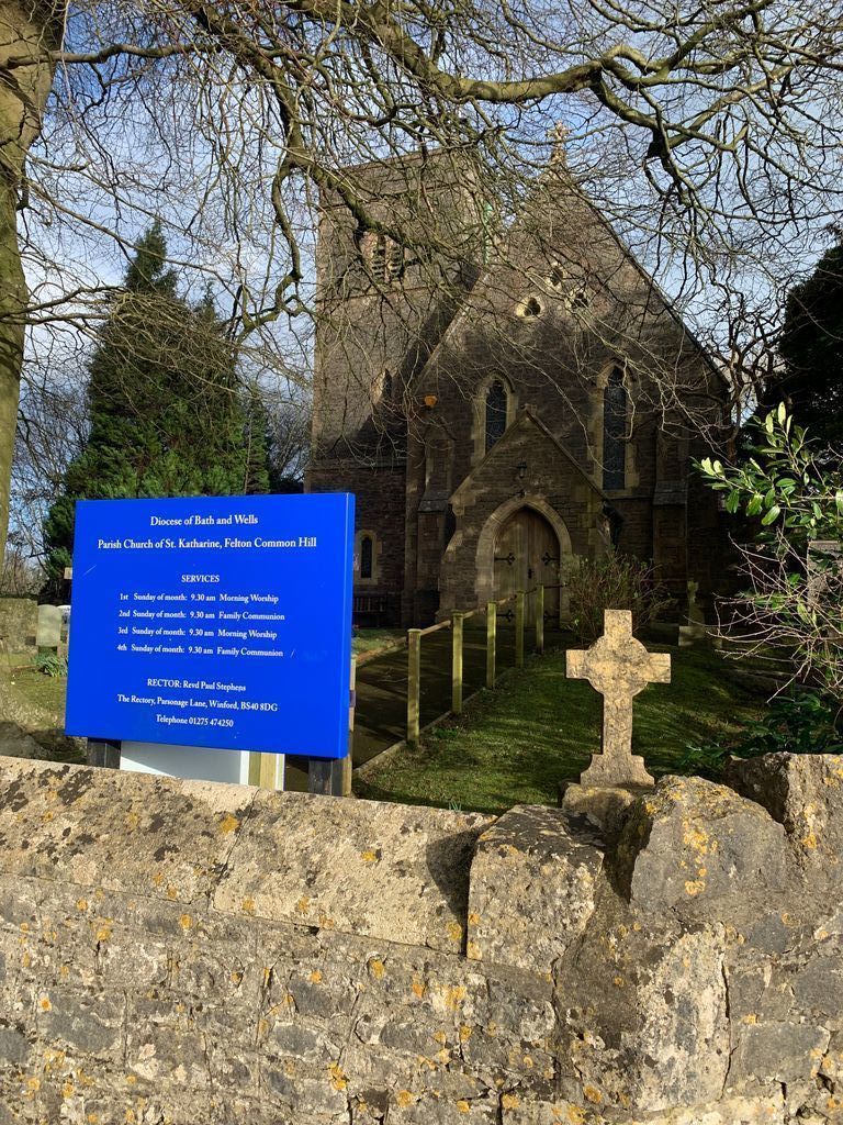
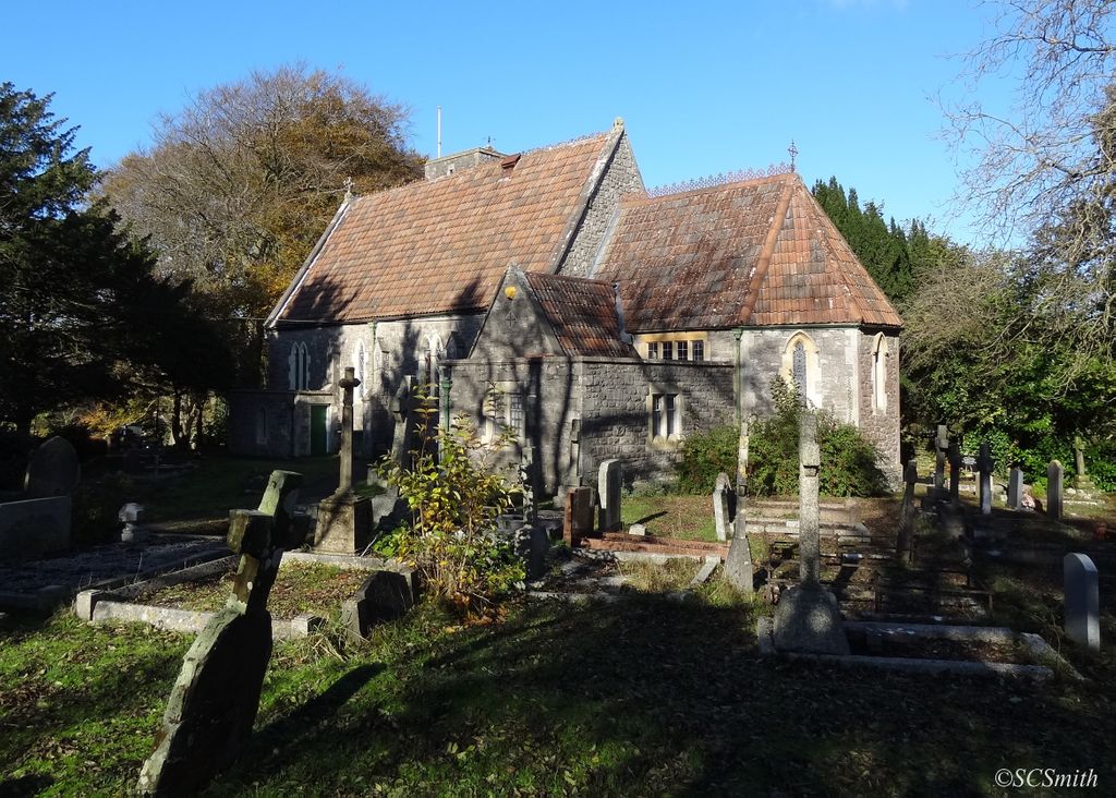
| Location | : | Felton, North Somerset Unitary Authority, England |
| Coordinate | : | 51.3876440, -2.6979950 |
frequently asked questions (FAQ):
-
Where is St Katharine and The Noble Army Churchyard?
St Katharine and The Noble Army Churchyard is located at Felton, North Somerset Unitary Authority ,Somerset ,England.
-
St Katharine and The Noble Army Churchyard cemetery's updated grave count on graveviews.com?
2 memorials
-
Where are the coordinates of the St Katharine and The Noble Army Churchyard?
Latitude: 51.3876440
Longitude: -2.6979950
Nearby Cemetories:
1. Ss Mary and Edward Churchyard
Barrow Gurney, North Somerset Unitary Authority, England
Coordinate: 51.4130630, -2.6989510
2. Church of St. Mary and St. Peter
Winford, North Somerset Unitary Authority, England
Coordinate: 51.3820870, -2.6580510
3. Christ Church Churchyard
Redhill, North Somerset Unitary Authority, England
Coordinate: 51.3657790, -2.7245240
4. St. Andrew's Churchyard
Backwell, North Somerset Unitary Authority, England
Coordinate: 51.4118600, -2.7297400
5. St. Michael and All Angels Churchyard
Butcombe, North Somerset Unitary Authority, England
Coordinate: 51.3538470, -2.6973670
6. St Michael & All Angels
Flax Bourton, North Somerset Unitary Authority, England
Coordinate: 51.4212620, -2.7109840
7. St. Michael Churchyard
Dundry, North Somerset Unitary Authority, England
Coordinate: 51.3990510, -2.6374330
8. St. Nicholas' Churchyard
Brockley, North Somerset Unitary Authority, England
Coordinate: 51.3988950, -2.7686830
9. Wrington Chapel
Wrington, North Somerset Unitary Authority, England
Coordinate: 51.3651900, -2.7638270
10. Blessed Virgin Mary Churchyard
Nempnett Thrubwell, Bath and North East Somerset Unitary Authority, England
Coordinate: 51.3407790, -2.6721100
11. The Blessed Virgin Mary Churchyard
Nempnett Thrubwell, Bath and North East Somerset Unitary Authority, England
Coordinate: 51.3407560, -2.6720673
12. Holy Trinity Churchyard
Cleeve, North Somerset Unitary Authority, England
Coordinate: 51.3908200, -2.7773600
13. St. Andrew's Churchyard
Chew Stoke, Bath and North East Somerset Unitary Authority, England
Coordinate: 51.3548580, -2.6379190
14. All Saints Churchyard
Wrington, North Somerset Unitary Authority, England
Coordinate: 51.3610710, -2.7657110
15. Saint Bridget's Churchyard
Chelvey, North Somerset Unitary Authority, England
Coordinate: 51.4117570, -2.7689680
16. Tyntesfield House Chapel
Wraxall, North Somerset Unitary Authority, England
Coordinate: 51.4407400, -2.7110500
17. Chew Stoke Methodist Churchyard
Chew Stoke, Bath and North East Somerset Unitary Authority, England
Coordinate: 51.3518196, -2.6332706
18. St. Peter's Churchyard
Bishopsworth, Bristol Unitary Authority, England
Coordinate: 51.4154334, -2.6191740
19. Holy Trinity Churchyard
Nailsea, North Somerset Unitary Authority, England
Coordinate: 51.4258140, -2.7692830
20. All Saints Churchyard
Long Ashton, North Somerset Unitary Authority, England
Coordinate: 51.4358100, -2.6439400
21. South Bristol Cemetery and Crematorium
Bedminster, Bristol Unitary Authority, England
Coordinate: 51.4240940, -2.6236390
22. St. Andrew's Churchyard
Chew Magna, Bath and North East Somerset Unitary Authority, England
Coordinate: 51.3664560, -2.6089140
23. Chew Magna Baptist Churchyard
Chew Magna, Bath and North East Somerset Unitary Authority, England
Coordinate: 51.3648736, -2.6094282
24. Christ Church Churchyard
Nailsea, North Somerset Unitary Authority, England
Coordinate: 51.4336490, -2.7612050