
| Memorials | : | 0 |
| Location | : | Winford, North Somerset Unitary Authority, England |
| Coordinate | : | 51.3820870, -2.6580510 |
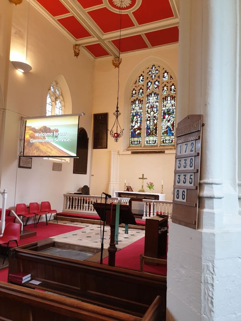
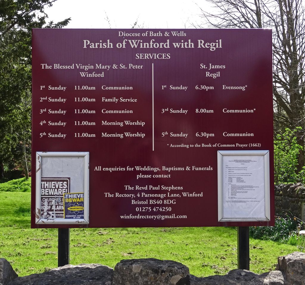
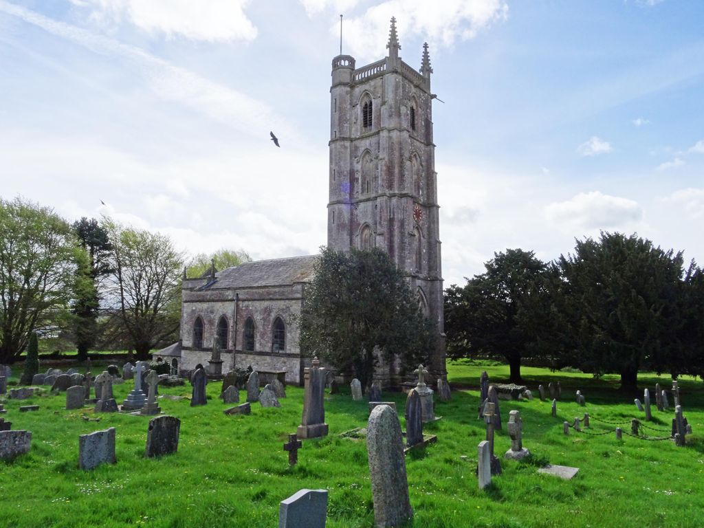
| Description | : | This church is part of the benefice with Winford and Regil, within the Deanery of Chew Magna in the Diocese of Bath & Wells. The Church of St Mary and St Peter in Winford, Somerset, England. the present building dates from the 15th Century. It has been designated as a Grade II* listed building. It was rebuilt in 1796, restored in 1820 with further improvements made in the 19th century. It has six bells which were rehung in 2006. An unidentified monument and a Shire Monument dating from around 1764 in the churchyard are also listed. |
frequently asked questions (FAQ):
-
Where is Church of St. Mary and St. Peter?
Church of St. Mary and St. Peter is located at Winford, North Somerset Unitary Authority ,Somerset ,England.
-
Church of St. Mary and St. Peter cemetery's updated grave count on graveviews.com?
0 memorials
-
Where are the coordinates of the Church of St. Mary and St. Peter?
Latitude: 51.3820870
Longitude: -2.6580510
Nearby Cemetories:
1. St. Michael Churchyard
Dundry, North Somerset Unitary Authority, England
Coordinate: 51.3990510, -2.6374330
2. St Katharine and The Noble Army Churchyard
Felton, North Somerset Unitary Authority, England
Coordinate: 51.3876440, -2.6979950
3. St. Andrew's Churchyard
Chew Stoke, Bath and North East Somerset Unitary Authority, England
Coordinate: 51.3548580, -2.6379190
4. Chew Stoke Methodist Churchyard
Chew Stoke, Bath and North East Somerset Unitary Authority, England
Coordinate: 51.3518196, -2.6332706
5. St. Andrew's Churchyard
Chew Magna, Bath and North East Somerset Unitary Authority, England
Coordinate: 51.3664560, -2.6089140
6. Chew Magna Baptist Churchyard
Chew Magna, Bath and North East Somerset Unitary Authority, England
Coordinate: 51.3648736, -2.6094282
7. St. Michael and All Angels Churchyard
Butcombe, North Somerset Unitary Authority, England
Coordinate: 51.3538470, -2.6973670
8. Ss Mary and Edward Churchyard
Barrow Gurney, North Somerset Unitary Authority, England
Coordinate: 51.4130630, -2.6989510
9. St. Peter's Churchyard
Bishopsworth, Bristol Unitary Authority, England
Coordinate: 51.4154334, -2.6191740
10. Blessed Virgin Mary Churchyard
Nempnett Thrubwell, Bath and North East Somerset Unitary Authority, England
Coordinate: 51.3407790, -2.6721100
11. The Blessed Virgin Mary Churchyard
Nempnett Thrubwell, Bath and North East Somerset Unitary Authority, England
Coordinate: 51.3407560, -2.6720673
12. Christ Church Churchyard
Redhill, North Somerset Unitary Authority, England
Coordinate: 51.3657790, -2.7245240
13. South Bristol Cemetery and Crematorium
Bedminster, Bristol Unitary Authority, England
Coordinate: 51.4240940, -2.6236390
14. St Michael & All Angels
Flax Bourton, North Somerset Unitary Authority, England
Coordinate: 51.4212620, -2.7109840
15. St Mary the Virgin Churchyard
Stanton Drew, Bath and North East Somerset Unitary Authority, England
Coordinate: 51.3657390, -2.5788440
16. St. Andrew's Churchyard
Backwell, North Somerset Unitary Authority, England
Coordinate: 51.4118600, -2.7297400
17. Holy Trinity Churchyard
Norton Malreward, Bath and North East Somerset Unitary Authority, England
Coordinate: 51.3831750, -2.5711360
18. All Saints Churchyard
Long Ashton, North Somerset Unitary Authority, England
Coordinate: 51.4358100, -2.6439400
19. Bishop's Sutton Holy Trinity Churchyard
Bath and North East Somerset Unitary Authority, England
Coordinate: 51.3341900, -2.5958300
20. St. Bartholomew Churchyard
Ubley, Bath and North East Somerset Unitary Authority, England
Coordinate: 51.3214600, -2.6766900
21. St Andrew Churchyard
Blagdon, North Somerset Unitary Authority, England
Coordinate: 51.3275610, -2.7127710
22. Hebron Road Burial Ground
Bristol, Bristol Unitary Authority, England
Coordinate: 51.4400610, -2.6041020
23. Tyntesfield House Chapel
Wraxall, North Somerset Unitary Authority, England
Coordinate: 51.4407400, -2.7110500
24. Pensford Methodist Churchyard
Pensford, Bath and North East Somerset Unitary Authority, England
Coordinate: 51.3731030, -2.5506730