
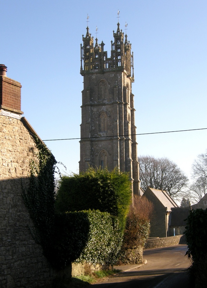
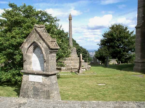
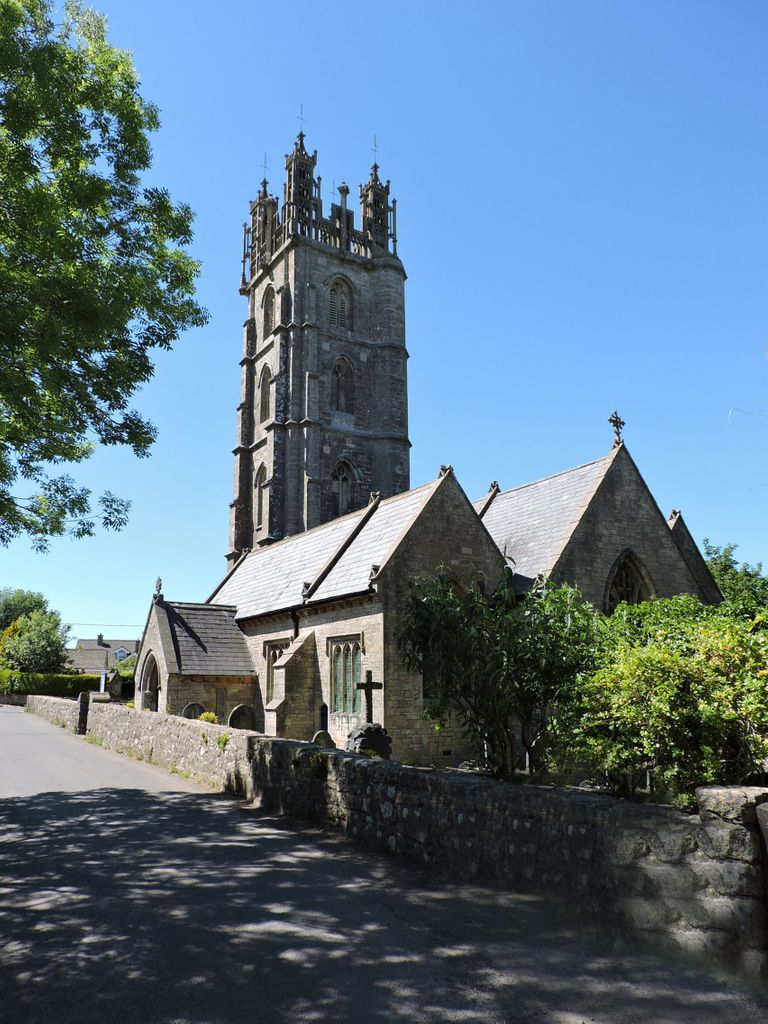
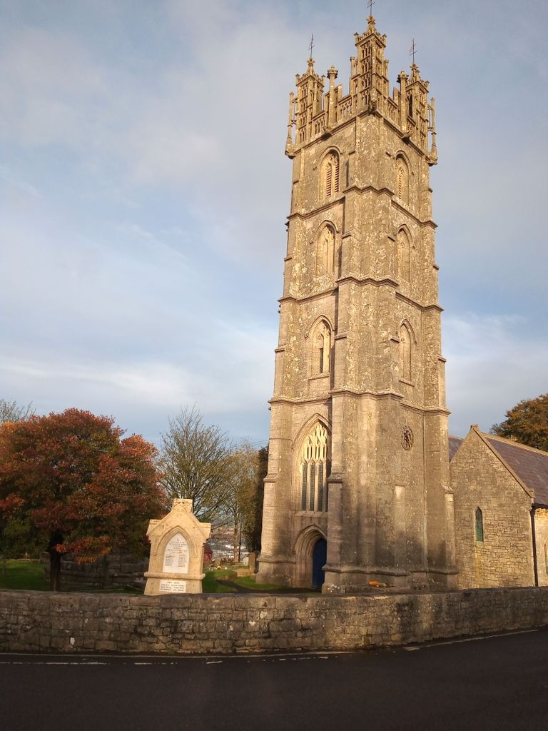
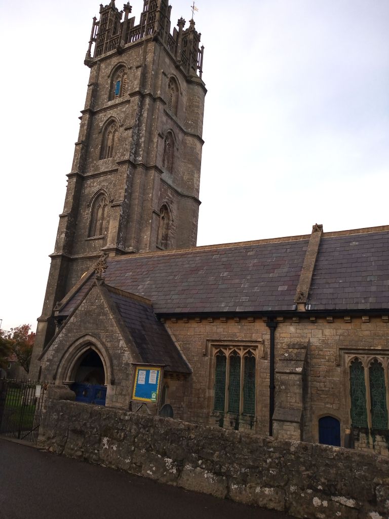
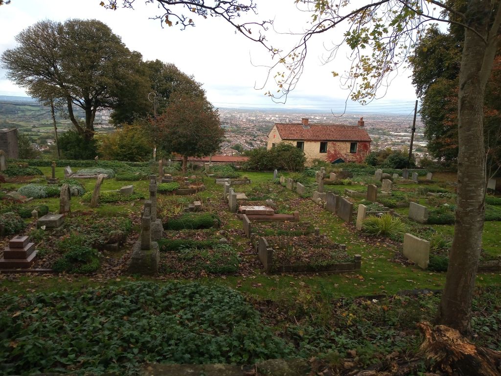
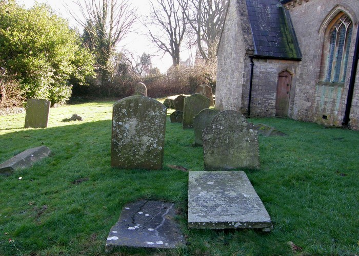
| Memorials | : | 1 |
| Location | : | Dundry, North Somerset Unitary Authority, England |
| Coordinate | : | 51.3990510, -2.6374330 |
frequently asked questions (FAQ):
-
Where is St. Michael Churchyard?
St. Michael Churchyard is located at Dundry, North Somerset Unitary Authority ,Somerset ,England.
-
St. Michael Churchyard cemetery's updated grave count on graveviews.com?
1 memorials
-
Where are the coordinates of the St. Michael Churchyard?
Latitude: 51.3990510
Longitude: -2.6374330
Nearby Cemetories:
1. St. Peter's Churchyard
Bishopsworth, Bristol Unitary Authority, England
Coordinate: 51.4154334, -2.6191740
2. Church of St. Mary and St. Peter
Winford, North Somerset Unitary Authority, England
Coordinate: 51.3820870, -2.6580510
3. South Bristol Cemetery and Crematorium
Bedminster, Bristol Unitary Authority, England
Coordinate: 51.4240940, -2.6236390
4. All Saints Churchyard
Long Ashton, North Somerset Unitary Authority, England
Coordinate: 51.4358100, -2.6439400
5. St. Andrew's Churchyard
Chew Magna, Bath and North East Somerset Unitary Authority, England
Coordinate: 51.3664560, -2.6089140
6. Chew Magna Baptist Churchyard
Chew Magna, Bath and North East Somerset Unitary Authority, England
Coordinate: 51.3648736, -2.6094282
7. St Katharine and The Noble Army Churchyard
Felton, North Somerset Unitary Authority, England
Coordinate: 51.3876440, -2.6979950
8. Ss Mary and Edward Churchyard
Barrow Gurney, North Somerset Unitary Authority, England
Coordinate: 51.4130630, -2.6989510
9. St. Andrew's Churchyard
Chew Stoke, Bath and North East Somerset Unitary Authority, England
Coordinate: 51.3548580, -2.6379190
10. Holy Trinity Churchyard
Norton Malreward, Bath and North East Somerset Unitary Authority, England
Coordinate: 51.3831750, -2.5711360
11. Hebron Road Burial Ground
Bristol, Bristol Unitary Authority, England
Coordinate: 51.4400610, -2.6041020
12. Chew Stoke Methodist Churchyard
Chew Stoke, Bath and North East Somerset Unitary Authority, England
Coordinate: 51.3518196, -2.6332706
13. St John the Baptist Church Demolished
Bedminster, Bristol Unitary Authority, England
Coordinate: 51.4400110, -2.5982980
14. St Mary the Virgin Churchyard
Stanton Drew, Bath and North East Somerset Unitary Authority, England
Coordinate: 51.3657390, -2.5788440
15. St Michael & All Angels
Flax Bourton, North Somerset Unitary Authority, England
Coordinate: 51.4212620, -2.7109840
16. Christ Church Churchyard
Bristol, Bristol Unitary Authority, England
Coordinate: 51.4213270, -2.5632460
17. St Paul's Churchyard
Bedminster, Bristol Unitary Authority, England
Coordinate: 51.4452800, -2.5989500
18. Hope Chapel
Clifton, Bristol Unitary Authority, England
Coordinate: 51.4512800, -2.6216000
19. Whitchurch Cemetery
Bristol Unitary Authority, England
Coordinate: 51.3990278, -2.5506809
20. St. Andrew's Churchyard
Clifton, Bristol Unitary Authority, England
Coordinate: 51.4543810, -2.6147460
21. Bristol Cathedral
Bristol, Bristol Unitary Authority, England
Coordinate: 51.4517059, -2.6007321
22. St Mary the Virgin Churchyard
Redcliffe, Bristol Unitary Authority, England
Coordinate: 51.4482800, -2.5895460
23. Quaker Burial Ground
Redcliffe, Bristol Unitary Authority, England
Coordinate: 51.4486700, -2.5905900
24. St. Michael and All Angels Churchyard
Butcombe, North Somerset Unitary Authority, England
Coordinate: 51.3538470, -2.6973670