
| Memorials | : | 0 |
| Location | : | Wraxall, North Somerset Unitary Authority, England |
| Coordinate | : | 51.4407400, -2.7110500 |
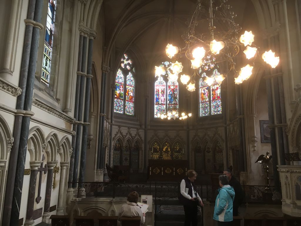
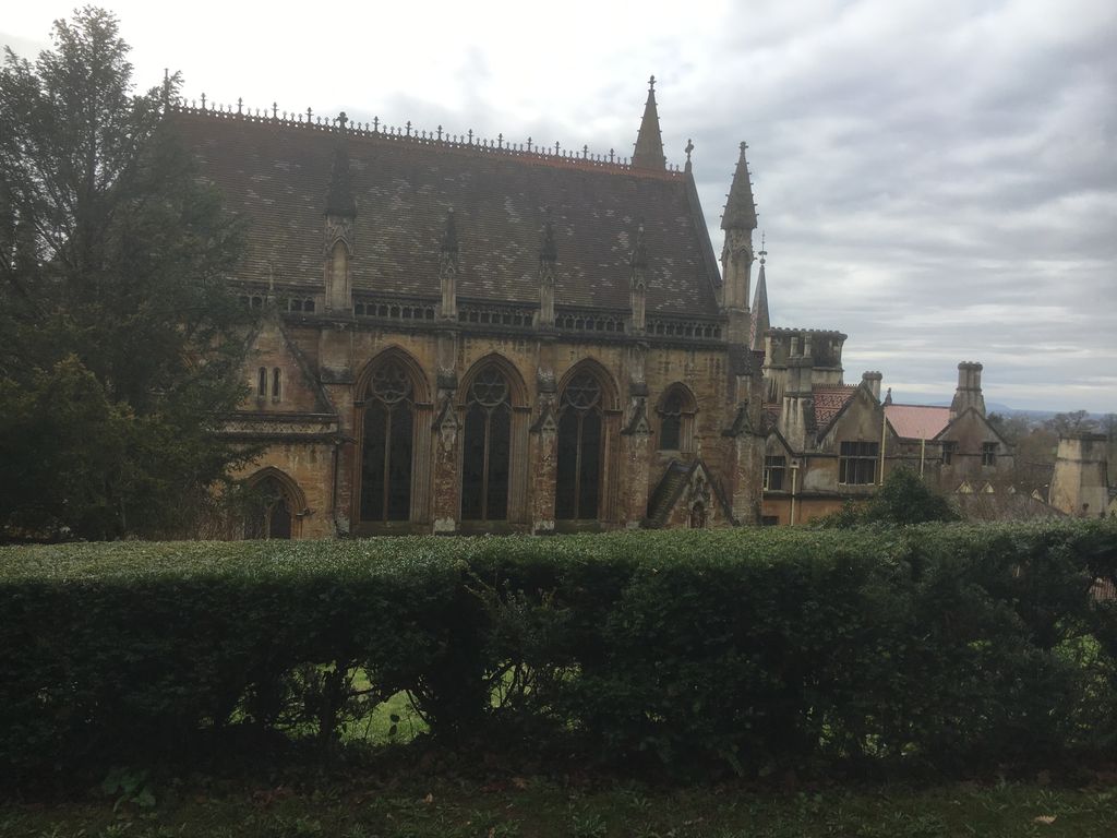
| Description | : | The chapel is attached to the Tyntesfield House which was owned by the Gibbs family and now in the hands of the National Trust. All entries are memorial plaques only, the Gibbs family being buried in the nearby church at Wraxall. |
frequently asked questions (FAQ):
-
Where is Tyntesfield House Chapel?
Tyntesfield House Chapel is located at Wraxall, North Somerset Unitary Authority ,Somerset ,England.
-
Tyntesfield House Chapel cemetery's updated grave count on graveviews.com?
0 memorials
-
Where are the coordinates of the Tyntesfield House Chapel?
Latitude: 51.4407400
Longitude: -2.7110500
Nearby Cemetories:
1. All Saints Churchyard
Wraxall, North Somerset Unitary Authority, England
Coordinate: 51.4444000, -2.7348000
2. St. Bartholomew's Churchyard
Failand, North Somerset Unitary Authority, England
Coordinate: 51.4584000, -2.7000000
3. St Michael & All Angels
Flax Bourton, North Somerset Unitary Authority, England
Coordinate: 51.4212620, -2.7109840
4. Ss Mary and Edward Churchyard
Barrow Gurney, North Somerset Unitary Authority, England
Coordinate: 51.4130630, -2.6989510
5. St. Andrew's Churchyard
Backwell, North Somerset Unitary Authority, England
Coordinate: 51.4118600, -2.7297400
6. Christ Church Churchyard
Nailsea, North Somerset Unitary Authority, England
Coordinate: 51.4336490, -2.7612050
7. Nailsea Garden of Rest
Nailsea, North Somerset Unitary Authority, England
Coordinate: 51.4340540, -2.7613880
8. Saint Mary's the Virgin Churchyard
Portbury, North Somerset Unitary Authority, England
Coordinate: 51.4756000, -2.7173000
9. Saint George Churchyard
Easton-in-Gordano, North Somerset Unitary Authority, England
Coordinate: 51.4785490, -2.7013400
10. Saint Michael Churchyard
Clapton-in-Gordano, North Somerset Unitary Authority, England
Coordinate: 51.4583000, -2.7673000
11. Holy Trinity Churchyard
Nailsea, North Somerset Unitary Authority, England
Coordinate: 51.4258140, -2.7692830
12. Holy Trinity Churchyard
Abbots Leigh, North Somerset Unitary Authority, England
Coordinate: 51.4631600, -2.6573300
13. All Saints Churchyard
Long Ashton, North Somerset Unitary Authority, England
Coordinate: 51.4358100, -2.6439400
14. Ss Quiricus & Julietta Churchyard
Tickenham, North Somerset Unitary Authority, England
Coordinate: 51.4394000, -2.7814000
15. Saint Bridget's Churchyard
Chelvey, North Somerset Unitary Authority, England
Coordinate: 51.4117570, -2.7689680
16. Portishead Cemetery
Portishead, North Somerset Unitary Authority, England
Coordinate: 51.4720380, -2.7737220
17. Shirehampton Cemetery
Shirehampton, Bristol Unitary Authority, England
Coordinate: 51.4895290, -2.6797050
18. St Katharine and The Noble Army Churchyard
Felton, North Somerset Unitary Authority, England
Coordinate: 51.3876440, -2.6979950
19. Saint Peter Churchyard
Portishead, North Somerset Unitary Authority, England
Coordinate: 51.4806130, -2.7709270
20. St. Nicholas' Churchyard
Brockley, North Somerset Unitary Authority, England
Coordinate: 51.3988950, -2.7686830
21. Hope Chapel
Clifton, Bristol Unitary Authority, England
Coordinate: 51.4512800, -2.6216000
22. South Bristol Cemetery and Crematorium
Bedminster, Bristol Unitary Authority, England
Coordinate: 51.4240940, -2.6236390
23. St. Mary Magdalene Churchyard
Stoke Bishop, Bristol Unitary Authority, England
Coordinate: 51.4767100, -2.6356800
24. Christ Church Cemetery
Clifton, Bristol Unitary Authority, England
Coordinate: 51.4576220, -2.6200000