
| Memorials | : | 0 |
| Location | : | Morland, Eden District, England |
| Coordinate | : | 54.5964730, -2.6235880 |
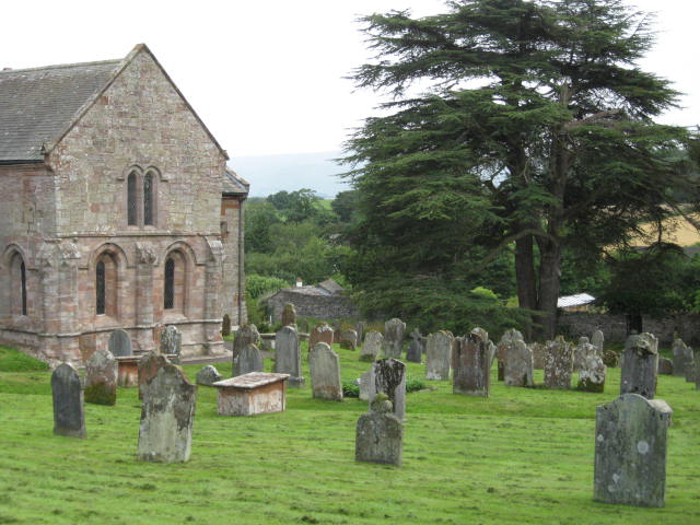
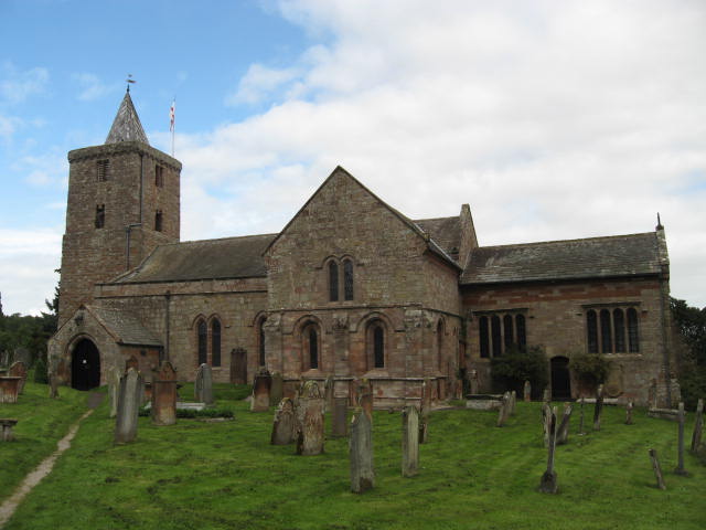
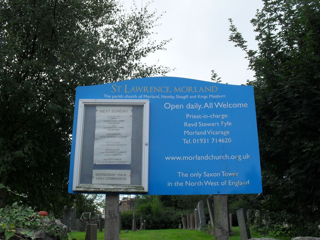
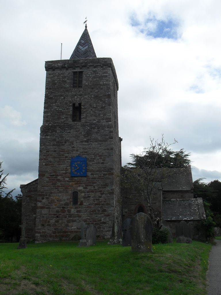
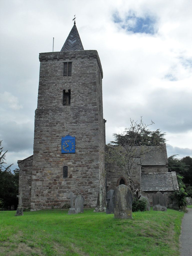
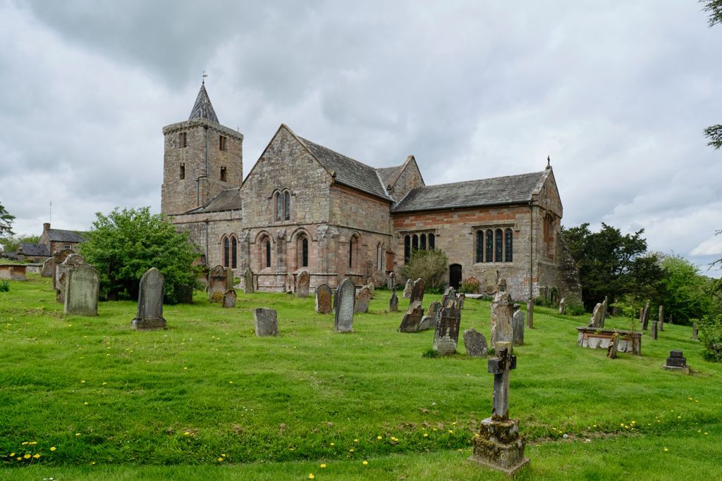
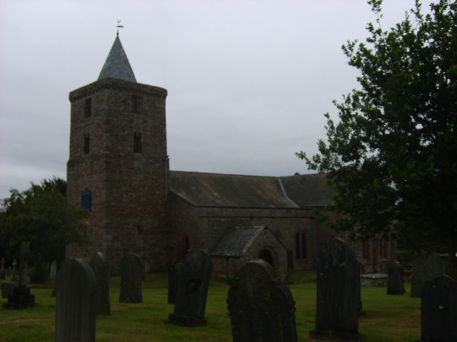
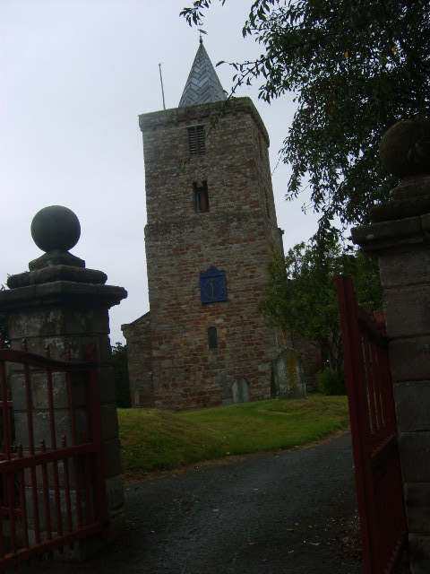
| Description | : | St Lawrence's Church is the parish church of Morland. It is distinctive for having the only Saxon Tower in the North West of England. There is a recent extension to the churchyard on the other side of Church Lane. |
frequently asked questions (FAQ):
-
Where is St. Lawrence Churchyard?
St. Lawrence Churchyard is located at Morland, Eden District ,Cumbria ,England.
-
St. Lawrence Churchyard cemetery's updated grave count on graveviews.com?
0 memorials
-
Where are the coordinates of the St. Lawrence Churchyard?
Latitude: 54.5964730
Longitude: -2.6235880

Nearby Cemetories:
1. St Cuthbert Churchyard
Cliburn, Eden District, England
Coordinate: 54.6138700, -2.6399030
2. St Barnabas Cemetery
Great Strickland, Eden District, England
Coordinate: 54.6002670, -2.6794060
3. All Saints Churchyard
Bolton, Eden District, England
Coordinate: 54.6043250, -2.5599880
4. St Mary Churchyard
Thrimby, Eden District, England
Coordinate: 54.5708750, -2.6782120
5. Saint James Churchyard
Temple Sowerby, Eden District, England
Coordinate: 54.6378210, -2.6033040
6. St Michael Churchyard
Kirkby Thore, Eden District, England
Coordinate: 54.6272940, -2.5621770
7. Eden Valley Crematorium
Temple Sowerby, Eden District, England
Coordinate: 54.6451850, -2.6237780
8. St. Margaret & St. James Churchyard
Long Marton, Eden District, England
Coordinate: 54.6099400, -2.5175850
9. All Saints Churchyard
Culgaith, Eden District, England
Coordinate: 54.6606090, -2.6059000
10. Shap Cemetery
Shap, Eden District, England
Coordinate: 54.5323200, -2.6711700
11. St. Michael‘s Churchyard
Shap, Eden District, England
Coordinate: 54.5314090, -2.6754280
12. Saint Cuthbert's Churchyard
Clifton, Eden District, England
Coordinate: 54.6361620, -2.7266804
13. St Lawrence Crosby Ravensworth
Crosby Ravensworth, Eden District, England
Coordinate: 54.5276540, -2.5859000
14. Saint Peter's Churchyard
Askham, Eden District, England
Coordinate: 54.6077420, -2.7476530
15. St. Michael Churchyard
Lowther, Eden District, England
Coordinate: 54.6129190, -2.7462760
16. Saint Cuthbert’s Churchyard
Milburn, Eden District, England
Coordinate: 54.6554800, -2.5404800
17. Bampton New Cemetery
Bampton Grange, Eden District, England
Coordinate: 54.5566033, -2.7384797
18. St Patrick Church Cemetery
Bampton Grange, Eden District, England
Coordinate: 54.5565000, -2.7384500
19. St. Lawrence Churchyard
Appleby-in-Westmorland, Eden District, England
Coordinate: 54.5781650, -2.4915290
20. Shap Abbey
Shap, Eden District, England
Coordinate: 54.5301890, -2.6999250
21. St Patrick's Church Roll Of Honour WW1 WW2
Bampton Grange, Eden District, England
Coordinate: 54.5553230, -2.7413750
22. St Patrick Churchyard
Bampton Grange, Eden District, England
Coordinate: 54.5553000, -2.7413640
23. Brougham Castle
Brougham, Eden District, England
Coordinate: 54.6493200, -2.7285300
24. Brougham Hall and St Wilfrids Chapel Grounds
Brougham, Eden District, England
Coordinate: 54.6482400, -2.7334200