
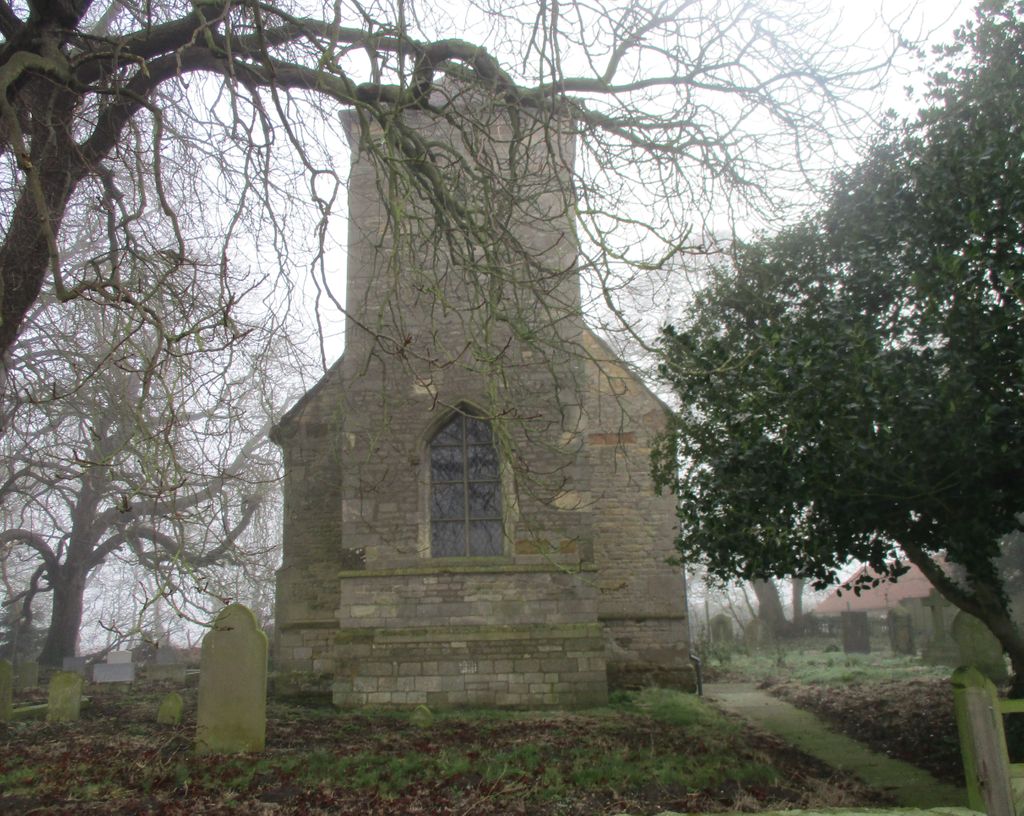
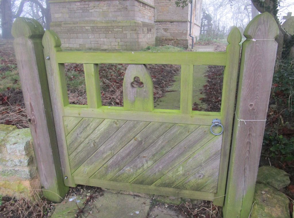
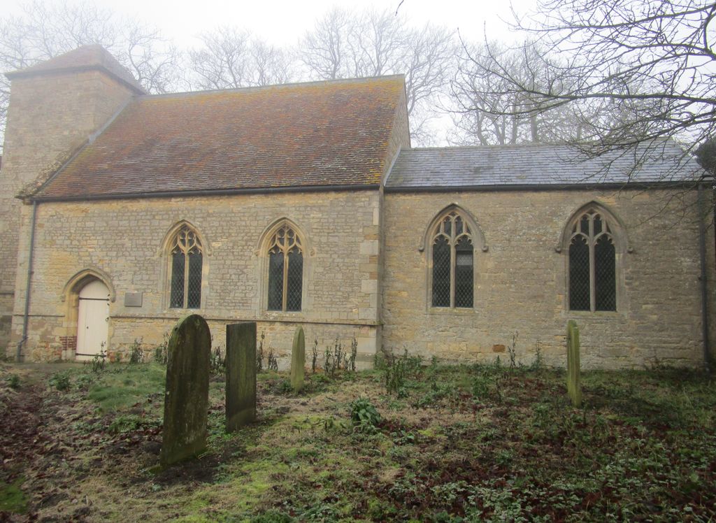
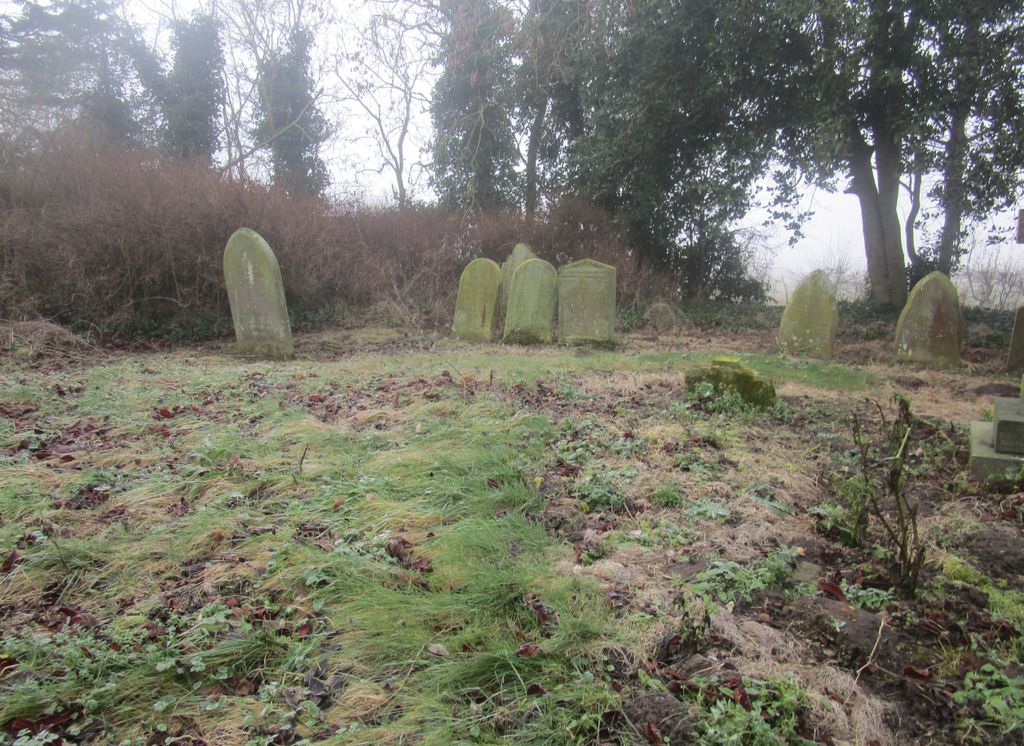
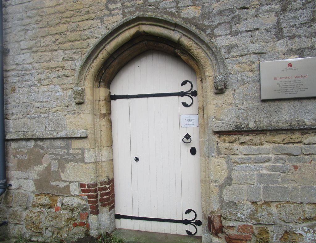
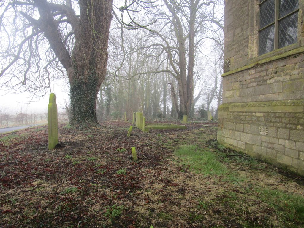
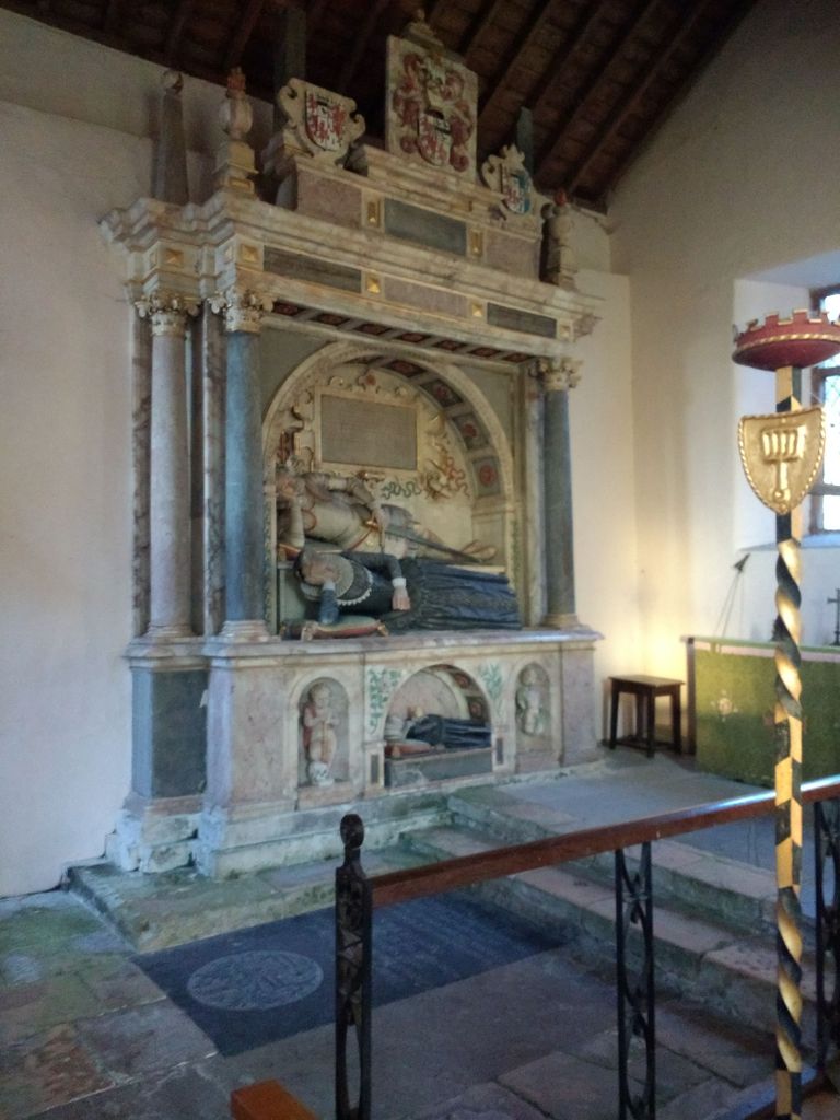
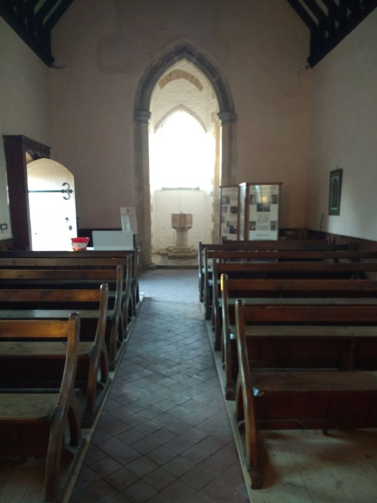
| Memorials | : | 0 |
| Location | : | Snarford, West Lindsey District, England |
| Coordinate | : | 53.3283300, -0.4239900 |
frequently asked questions (FAQ):
-
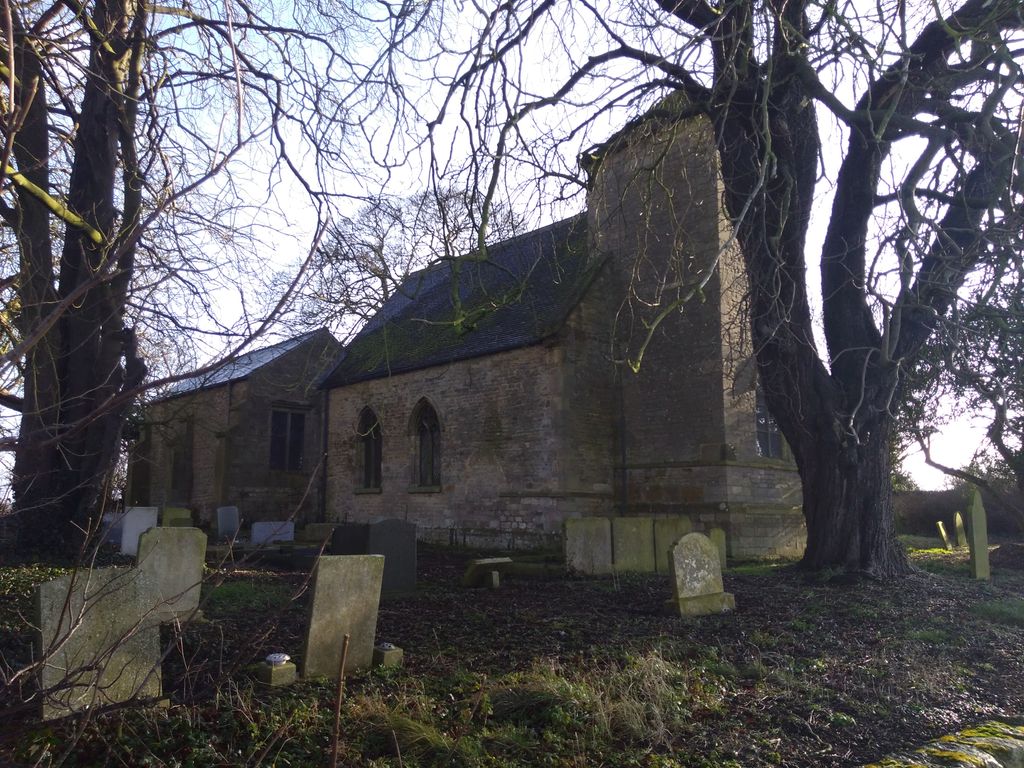
Where is St. Lawrence Churchyard?
St. Lawrence Churchyard is located at Snarford, West Lindsey District ,Lincolnshire ,England.
-
St. Lawrence Churchyard cemetery's updated grave count on graveviews.com?
0 memorials
-
Where are the coordinates of the St. Lawrence Churchyard?
Latitude: 53.3283300
Longitude: -0.4239900
Nearby Cemetories:
1. All Saints Churchyard
Cold Hanworth, West Lindsey District, England
Coordinate: 53.3357700, -0.4471700
2. St. Peter's Churchyard
Friesthorpe, West Lindsey District, England
Coordinate: 53.3367420, -0.3915860
3. All Saints Churchyard
Faldingworth, West Lindsey District, England
Coordinate: 53.3490800, -0.3995900
4. All Saints Churchyard
Snelland, West Lindsey District, England
Coordinate: 53.3120800, -0.3812000
5. St. Chad Churchyard
Dunholme, West Lindsey District, England
Coordinate: 53.3018330, -0.4638100
6. St Chad Church Extension
Dunholme, West Lindsey District, England
Coordinate: 53.3008900, -0.4621500
7. St. Michael's Churchyard
Buslingthorpe, West Lindsey District, England
Coordinate: 53.3520370, -0.3772470
8. St Michaels Churchyard
Newton by Toft, West Lindsey District, England
Coordinate: 53.3726210, -0.4216430
9. St. John the Baptist Churchyard
Langworth, West Lindsey District, England
Coordinate: 53.2843900, -0.4086800
10. St. Germain Churchyard
Scothern, West Lindsey District, England
Coordinate: 53.2835790, -0.4513370
11. Scothern Cemetery
Scothern, West Lindsey District, England
Coordinate: 53.2798200, -0.4515500
12. St. Helen's Churchyard
Saxby, West Lindsey District, England
Coordinate: 53.3625100, -0.4920400
13. St. John The Baptist Churchyard
Lissington, West Lindsey District, England
Coordinate: 53.3363600, -0.3359800
14. St Michael Churchyard
Hackthorn, West Lindsey District, England
Coordinate: 53.3288810, -0.5134350
15. Barlings Cemetery
Langworth, West Lindsey District, England
Coordinate: 53.2728290, -0.4041870
16. St. Oswald's Churchyard
Rand, West Lindsey District, England
Coordinate: 53.2970600, -0.3404500
17. St. Edward the Confessor Churchyard
Sudbrooke, West Lindsey District, England
Coordinate: 53.2717840, -0.4553930
18. All Saints Churchyard
Holton-cum-Beckering, West Lindsey District, England
Coordinate: 53.3167370, -0.3257753
19. St. Cornelius Churchyard
Linwood, West Lindsey District, England
Coordinate: 53.3626176, -0.3361707
20. St. Peter & Paul Churchyard
Owmby-by-Spital, West Lindsey District, England
Coordinate: 53.3735080, -0.4981220
21. Owmby-Normanby Cemetery
Owmby-by-Spital, West Lindsey District, England
Coordinate: 53.3770850, -0.4992190
22. St. Peter's Churchyard
Normanby by Spital, West Lindsey District, England
Coordinate: 53.3802120, -0.4963050
23. St. Edward's Churchyard
Barlings, West Lindsey District, England
Coordinate: 53.2600000, -0.3890000
24. St. Peter & St. Paul Churchyard
Middle Rasen, West Lindsey District, England
Coordinate: 53.3914120, -0.3664170