
| Memorials | : | 0 |
| Location | : | Warmingham, Cheshire East Unitary Authority, England |
| Coordinate | : | 53.1462213, -2.4367574 |
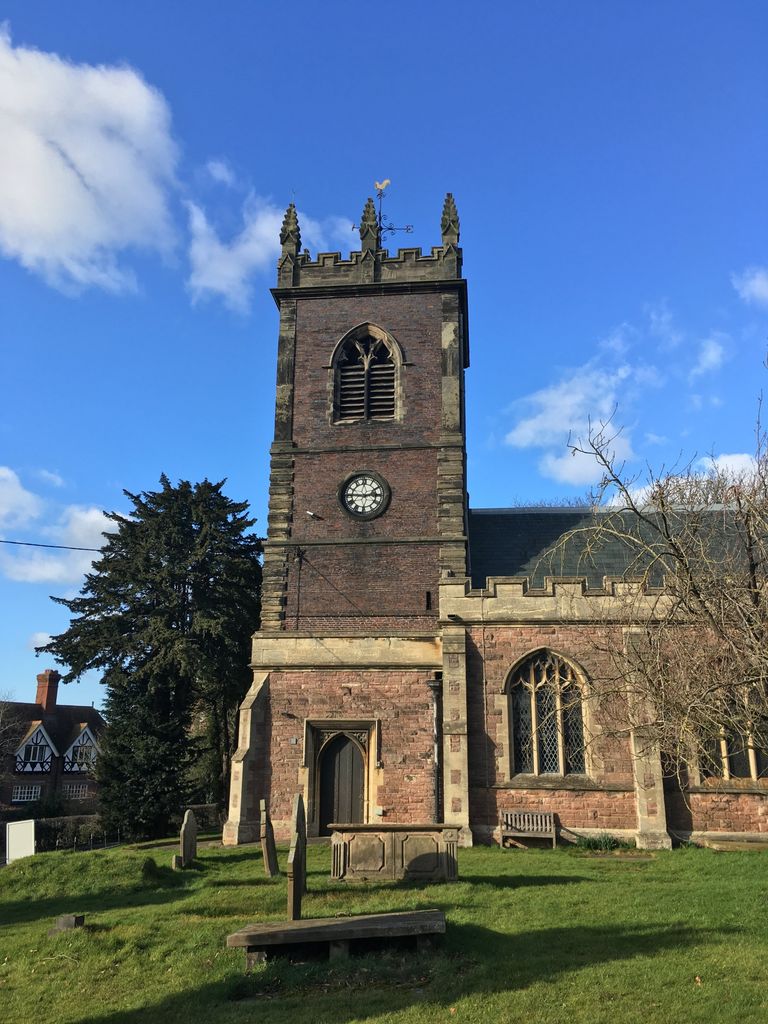
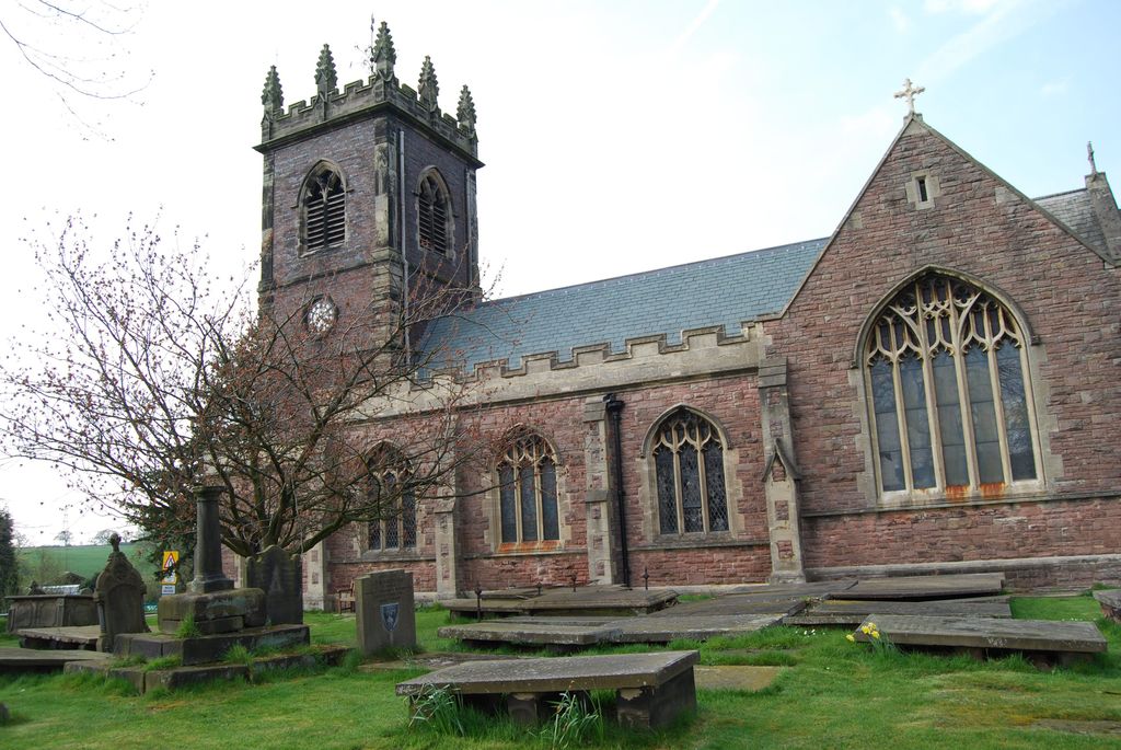
| Description | : | Warmingham Church is a United Benefice with Leighton-Cum-Minshull Vernon. It is located in the heart of the village of the same name. The church is named after the Patron Saint of Prisoners and has stood proud for at least 700 years. Twice during the past 200 years the main body of the Church has been rebuilt, but the tower remains much the same as it did when it was first built of hand-made brick in 1715. The former church building originally contained four chapels, each representing one of the parishes of Elton, Moston, Tetton and Warmingham. |
frequently asked questions (FAQ):
-
Where is St. Leonard's Churchyard?
St. Leonard's Churchyard is located at 2, School Lane Warmingham, Cheshire East Unitary Authority ,Cheshire , CW11 3QLEngland.
-
St. Leonard's Churchyard cemetery's updated grave count on graveviews.com?
0 memorials
-
Where are the coordinates of the St. Leonard's Churchyard?
Latitude: 53.1462213
Longitude: -2.4367574
Nearby Cemetories:
1. The Church on Ettiley Heath
Ettiley Heath, Cheshire East Unitary Authority, England
Coordinate: 53.1387412, -2.3964267
2. St Peter Churchyard
Elworth, Cheshire East Unitary Authority, England
Coordinate: 53.1485950, -2.3898080
3. St Peter Churchyard
Minshull Vernon, Cheshire East Unitary Authority, England
Coordinate: 53.1308770, -2.4772320
4. St Bartholomew's Churchyard
Church Minshull, Cheshire East Unitary Authority, England
Coordinate: 53.1414200, -2.5007800
5. St. Michael Churchyard
Crewe, Cheshire East Unitary Authority, England
Coordinate: 53.1058200, -2.4475200
6. Christ Church Churchyard
Wheelock, Cheshire East Unitary Authority, England
Coordinate: 53.1247500, -2.3768200
7. Meadow Brook Cemetery
Crewe, Cheshire East Unitary Authority, England
Coordinate: 53.1083460, -2.4690380
8. Crewe Cemetery & Crematorium
Crewe, Cheshire East Unitary Authority, England
Coordinate: 53.1030540, -2.4415159
9. Hope Chapel
Sandbach, Cheshire East Unitary Authority, England
Coordinate: 53.1439600, -2.3643100
10. St Mary Churchyard
Sandbach, Cheshire East Unitary Authority, England
Coordinate: 53.1435380, -2.3610030
11. St. Michael and All Angels Churchyard
Middlewich, Cheshire East Unitary Authority, England
Coordinate: 53.1926870, -2.4445600
12. Sandbach Cemetery
Sandbach, Cheshire East Unitary Authority, England
Coordinate: 53.1410080, -2.3556550
13. Middlewich Cemetery
Middlewich, Cheshire East Unitary Authority, England
Coordinate: 53.1942230, -2.4526240
14. Wheelock Heath Baptist Chapelyard
Sandbach, Cheshire East Unitary Authority, England
Coordinate: 53.1132940, -2.3730320
15. St. Matthew's Churchyard
Haslington, Cheshire East Unitary Authority, England
Coordinate: 53.1011010, -2.3933740
16. Weaver Methodist Church Cemetery
Winsford, Cheshire West and Chester Unitary Authority, England
Coordinate: 53.1652870, -2.5207080
17. St Michael's
Haslington, Cheshire East Unitary Authority, England
Coordinate: 53.0946170, -2.4097820
18. St. John's Churchyard
Sandbach Heath, Cheshire East Unitary Authority, England
Coordinate: 53.1506690, -2.3371800
19. St. Chad's Churchyard
Winsford, Cheshire West and Chester Unitary Authority, England
Coordinate: 53.1816530, -2.5257450
20. Christ Church Churchyard
Winsford, Cheshire West and Chester Unitary Authority, England
Coordinate: 53.1952430, -2.5057500
21. St Oswald Churchyard
Worleston, Cheshire East Unitary Authority, England
Coordinate: 53.1072140, -2.5223120
22. St Mary's Churchyard
Wistaston, Cheshire East Unitary Authority, England
Coordinate: 53.0790200, -2.4771400
23. St Oswald Churchyard
Brereton, Cheshire East Unitary Authority, England
Coordinate: 53.1797180, -2.3284870
24. St. Luke Churchyard
Holmes Chapel, Cheshire East Unitary Authority, England
Coordinate: 53.2020350, -2.3575080