
| Memorials | : | 9 |
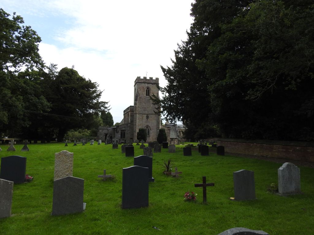
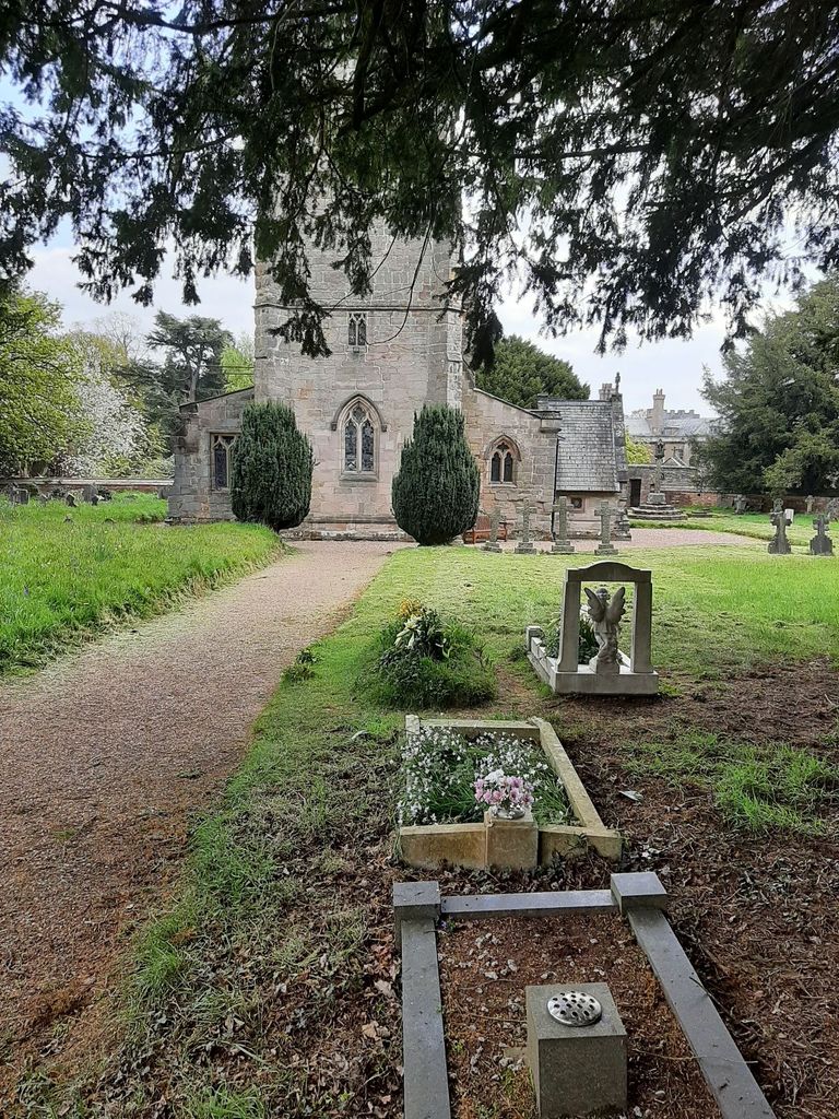
| Location | : | Blithfield, East Staffordshire Borough, England |
| Description | : | This cemetery listing wasn't created until November 2014, so all memorials made before then and currently listed here were originally listed in an incorrect cemetery listing, such as Blithfield Hall, or had an unknown cemetery listing. The Bagot memorials made by Todd Whitesides have always been listed in this, their correct burial place. |
frequently asked questions (FAQ):
-
Where is St. Leonard's Churchyard?
St. Leonard's Churchyard is located at Blithfield, East Staffordshire Borough, England.
-
St. Leonard's Churchyard cemetery's updated grave count on graveviews.com?
7 memorials

Nearby Cemetories:
1. Saint Peter's Cemetery
Ellastone, East Staffordshire Borough, England
2. All Saints Churchyard
Leigh, East Staffordshire Borough, England
Coordinate: 52.7809957, -1.7236464
3. All Saints Churchyard
Rangemore, East Staffordshire Borough, England
Coordinate: 52.7958170, -1.6968150
4. Needwood, Christchurch
Tutbury, East Staffordshire Borough, England
Coordinate: 52.8963900, -1.9106400
5. Priory Church of St. Mary the Virgin
Tutbury, East Staffordshire Borough, England
6. St. James' Churchyard
Barton-under-Needwood, East Staffordshire Borough, England
Coordinate: 52.8630944, -1.9115108
7. RAF Fauld
Hanbury, East Staffordshire Borough, England
Coordinate: 53.0302050, -1.7650989
8. St Mary Churchyard
Hanbury, East Staffordshire Borough, England
Coordinate: 52.7960899, -1.6230323
9. St Werburgh's Church
Hanbury, East Staffordshire Borough, England
Coordinate: 52.8987700, -1.8624100
10. St John Churchyard
Marchington Woodlands, East Staffordshire Borough, England
11. Rolleston Cemetery
Rolleston-on-Dove, East Staffordshire Borough, England
12. St. Mary's Churchyard
Rolleston-on-Dove, East Staffordshire Borough, England
Coordinate: 52.7844140, -1.7909000
13. Chapelry of Tatenhill
Tatenhill, East Staffordshire Borough, England
14. St. Mary's Churchyard, Dunstall
Tatenhill, East Staffordshire Borough, England
Coordinate: 52.7809957, -1.7236464
15. St. Michael and All Angels Churchyard
Tatenhill, East Staffordshire Borough, England
Coordinate: 52.7958170, -1.6968150
16. St Lawrence Churchyard
Bramshall, East Staffordshire Borough, England
Coordinate: 52.8963900, -1.9106400
17. All Saints Churchyard
Denstone, East Staffordshire Borough, England
18. St. John the Baptist Churchyard
Kingstone, East Staffordshire Borough, England
Coordinate: 52.8630944, -1.9115108
19. All Saints Church
Okeover, East Staffordshire Borough, England
Coordinate: 53.0302050, -1.7650989
20. St. Peter's Parish Churchyard
Stapenhill, East Staffordshire Borough, England
Coordinate: 52.7960899, -1.6230323
21. Saint Mary the Virgin Churchyard
Uttoxeter, East Staffordshire Borough, England
Coordinate: 52.8987700, -1.8624100
22. St Lawrence Churchyard
Uttoxeter, East Staffordshire Borough, England
23. Uttoxeter Cemetery
Uttoxeter, East Staffordshire Borough, England
24. Catholic Church of Saint Francis of Sales
Yoxall, East Staffordshire Borough, England
Coordinate: 52.7844140, -1.7909000