
| Memorials | : | 3 |
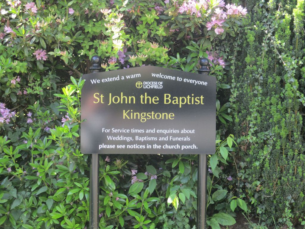
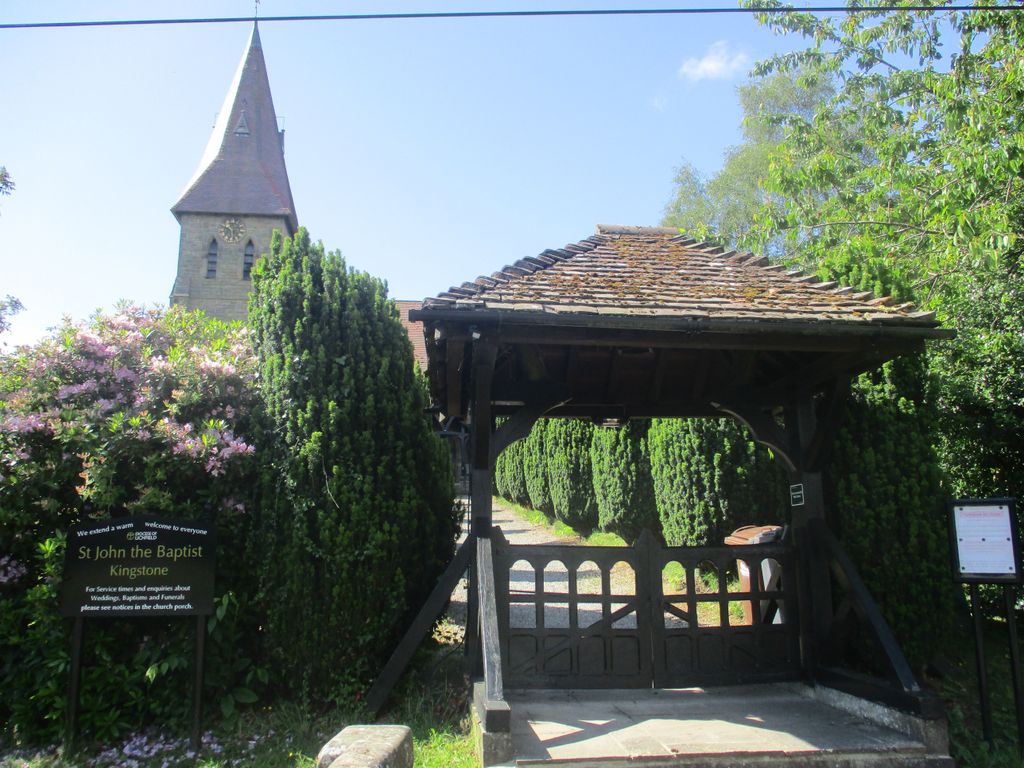
| Location | : | Kingstone, East Staffordshire Borough, England |
| Coordinate | : | 52.8630944, -1.9115108 |
frequently asked questions (FAQ):
-
Where is St. John the Baptist Churchyard?
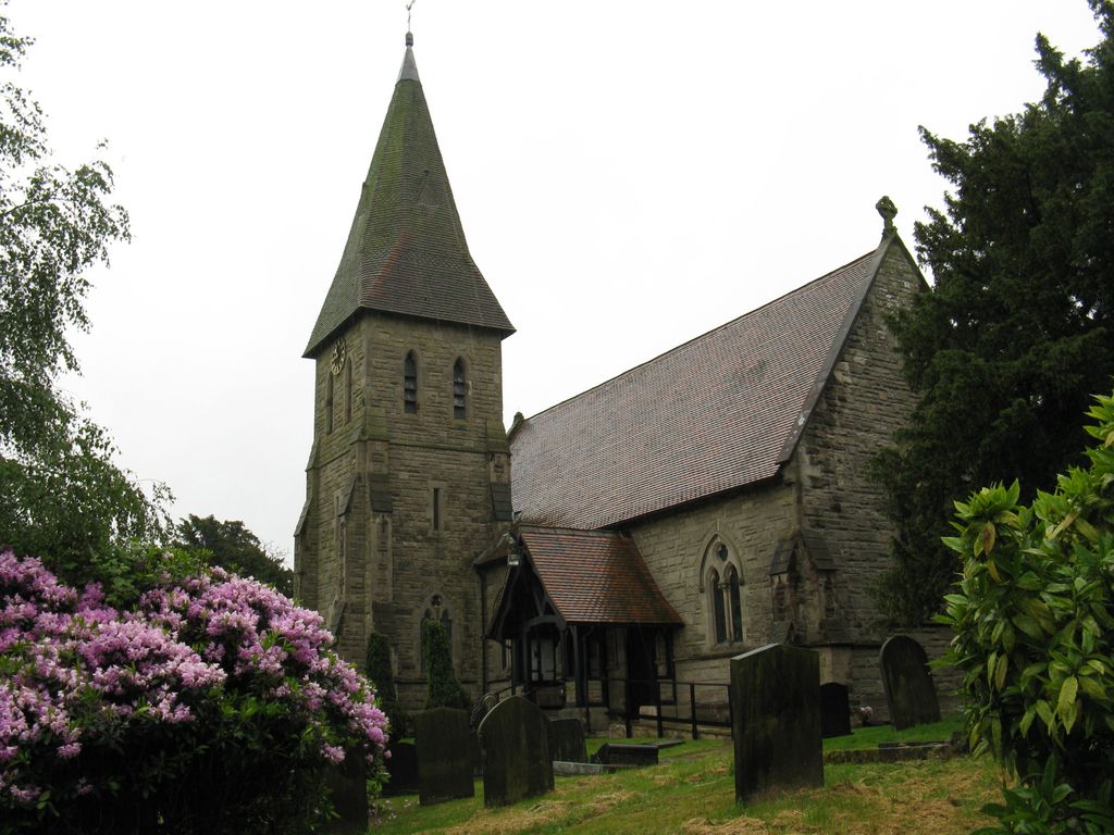
St. John the Baptist Churchyard is located at Church Lane, Kingstone, Uttoxeter, Staffordshire, England Kingstone, East Staffordshire Borough ,Staffordshire ,England.
-
St. John the Baptist Churchyard cemetery's updated grave count on graveviews.com?
3 memorials
-
Where are the coordinates of the St. John the Baptist Churchyard?
Latitude: 52.8630944
Longitude: -1.9115108

Nearby Cemetories:
1. St Lawrence Churchyard
Bramshall, East Staffordshire Borough, England
Coordinate: 52.8963900, -1.9106400
2. Saint Mary the Virgin Churchyard
Uttoxeter, East Staffordshire Borough, England
Coordinate: 52.8987700, -1.8624100
3. St. Nicholas Churchyard
Abbots Bromley, East Staffordshire Borough, England
Coordinate: 52.8184560, -1.8837460
4. St Michael and All Angels Churchyard
Stramshall, East Staffordshire Borough, England
Coordinate: 52.9201040, -1.8836100
5. St. Cuthbert's Churchyard
Doveridge, Derbyshire Dales District, England
Coordinate: 52.9042368, -1.8317361
6. St. Peter's Churchyard
Hixon, Stafford Borough, England
Coordinate: 52.8273830, -2.0004581
7. All Saints Churchyard
Leigh, East Staffordshire Borough, England
Coordinate: 52.9199520, -1.9657840
8. St Peter's Churchyard
Marchington, East Staffordshire Borough, England
Coordinate: 52.8738278, -1.7967917
9. St Peter's Church
Gayton, Stafford Borough, England
Coordinate: 52.8540363, -2.0327095
10. All Saints Churchyard
Newborough, East Staffordshire Borough, England
Coordinate: 52.8259013, -1.8003185
11. St. Andrew's Church
Weston, Stafford Borough, England
Coordinate: 52.8412239, -2.0391501
12. St. Mary and All Saints Churchyard
Checkley, Staffordshire Moorlands District, England
Coordinate: 52.9384190, -1.9598100
13. The Holy Angels Churchyard
Hoar Cross, East Staffordshire Borough, England
Coordinate: 52.8047974, -1.8161691
14. All Saints Churchyard
Milwich, Stafford Borough, England
Coordinate: 52.8852590, -2.0443610
15. St Stephen Churchyard
Great Haywood, Stafford Borough, England
Coordinate: 52.8004360, -2.0049890
16. St Mary The Virgin Churchyard
Ingestre, Stafford Borough, England
Coordinate: 52.8196420, -2.0361510
17. Saint Mary's Abbey
Colwich, Stafford Borough, England
Coordinate: 52.7900000, -1.9895000
18. Dove Evangelical Free Church, Somersal Herbert
Doveridge, Derbyshire Dales District, England
Coordinate: 52.9109200, -1.7905560
19. St. Michael and All Angels Church
Colwich, Stafford Borough, England
Coordinate: 52.7876070, -1.9853500
20. All Saints Churchyard
Sudbury, Derbyshire Dales District, England
Coordinate: 52.8867660, -1.7667510
21. Croxden Abbey
Croxden, East Staffordshire Borough, England
Coordinate: 52.9549890, -1.9042630
22. All Saints Churchyard
Sandon, Stafford Borough, England
Coordinate: 52.8628160, -2.0696270
23. Newchurch, Christchurch-in-Needwood
Hoar Cross, East Staffordshire Borough, England
Coordinate: 52.8083859, -1.7811304
24. St James the Great Church
Salt, Stafford Borough, England
Coordinate: 52.8483296, -2.0701182