
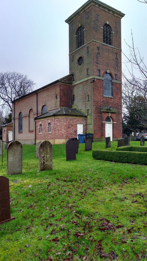
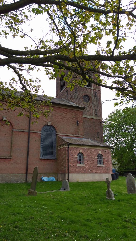
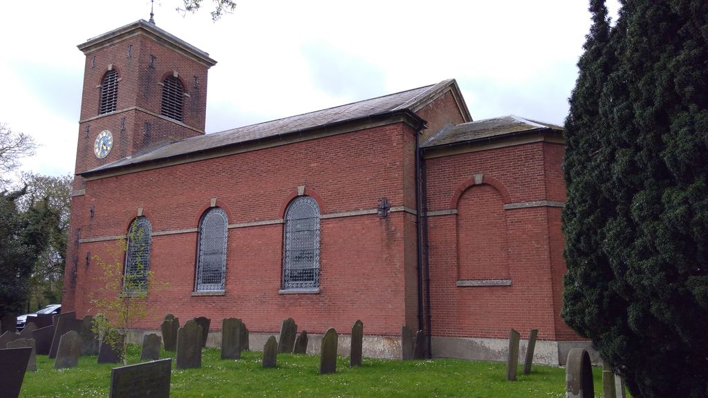
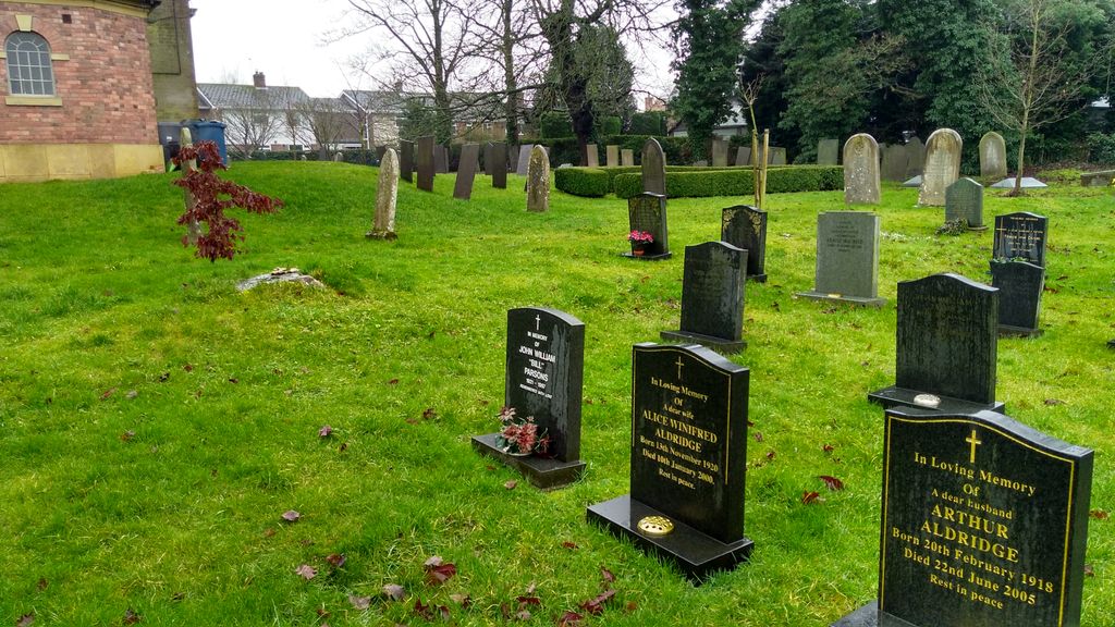
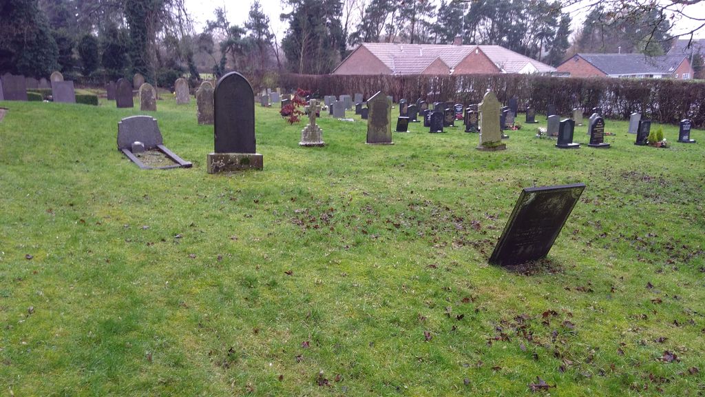
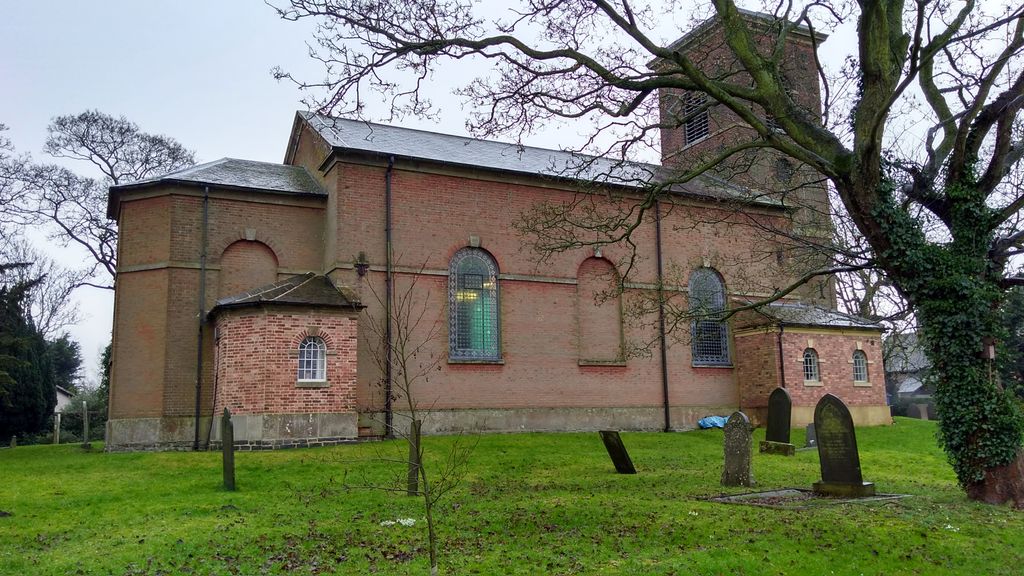
| Memorials | : | 0 |
| Location | : | Kinoulton, Rushcliffe Borough, England |
| Coordinate | : | 52.8697400, -0.9964300 |
frequently asked questions (FAQ):
-
Where is St Luke's Churchyard?
St Luke's Churchyard is located at Kinoulton, Rushcliffe Borough ,Nottinghamshire ,England.
-
St Luke's Churchyard cemetery's updated grave count on graveviews.com?
0 memorials
-
Where are the coordinates of the St Luke's Churchyard?
Latitude: 52.8697400
Longitude: -0.9964300
Nearby Cemetories:
1. St. Luke's Churchyard
Hickling, Rushcliffe Borough, England
Coordinate: 52.8564100, -0.9742800
2. St. Luke's Churchyard, Hickling
Melton Mowbray, Melton Borough, England
Coordinate: 52.8563758, -0.9738774
3. All Saints Churchyard
Stanton-on-the-Wolds, Rushcliffe Borough, England
Coordinate: 52.8693400, -1.0624900
4. St Luke's Churchyard
Upper Broughton, Rushcliffe Borough, England
Coordinate: 52.8293700, -0.9870900
5. St Giles Churchyard
Cropwell Bishop, Rushcliffe Borough, England
Coordinate: 52.9127600, -0.9831300
6. St Mary the Virgin Churchyard
Nether Broughton, Melton Borough, England
Coordinate: 52.8289780, -0.9687040
7. St Peter Churchyard
Widmerpool, Rushcliffe Borough, England
Coordinate: 52.8476890, -1.0679480
8. All Saints Churchyard
Cotgrave, Rushcliffe Borough, England
Coordinate: 52.9116900, -1.0436100
9. St. Remigius Churchyard
Long Clawson, Melton Borough, England
Coordinate: 52.8373290, -0.9294660
10. St Andrews Churchyard
Langar, Rushcliffe Borough, England
Coordinate: 52.9034742, -0.9259344
11. Long Clawson Sandpit Lane Cemetery
Long Clawson, Melton Borough, England
Coordinate: 52.8338110, -0.9273370
12. Saint Michael & All Angels Churchyard
Hose, Melton Borough, England
Coordinate: 52.8558840, -0.9080560
13. Hose Baptist Chapel Lane Churchyard
Hose, Melton Borough, England
Coordinate: 52.8588460, -0.9049480
14. St. Mary The Virgin Churchyard
Plumtree, Rushcliffe Borough, England
Coordinate: 52.8918690, -1.0874320
15. Church of St Mary and All Saints
Willoughby-on-the-Wolds, Rushcliffe Borough, England
Coordinate: 52.8227780, -1.0608330
16. Old Dalby Main Road Cemetery
Old Dalby, Melton Borough, England
Coordinate: 52.8084650, -1.0007670
17. St Mary the Virgin Churchyard
Harby, Melton Borough, England
Coordinate: 52.8739600, -0.8912030
18. St John the Baptist Churchyard
Old Dalby, Melton Borough, England
Coordinate: 52.8053510, -1.0017970
19. Holy Trinity Churchyard
Wysall, Rushcliffe Borough, England
Coordinate: 52.8383300, -1.1044200
20. St. Michael's Churchyard
Wartnaby, Melton Borough, England
Coordinate: 52.8012220, -0.9447660
21. Flawford St Peter
Ruddington, Rushcliffe Borough, England
Coordinate: 52.8934800, -1.1201300
22. St John the Baptist Churchyard
Grimston, Melton Borough, England
Coordinate: 52.7902720, -0.9850350
23. Edwalton Holy Rood Churchyard
West Bridgford, Rushcliffe Borough, England
Coordinate: 52.9093000, -1.1114170
24. Radcliffe-on-Trent Cemetery
Radcliffe-on-Trent, Rushcliffe Borough, England
Coordinate: 52.9459200, -1.0409700