
| Memorials | : | 4 |
| Location | : | Underriver, Sevenoaks District, England |
| Coordinate | : | 51.2458191, 0.2291520 |
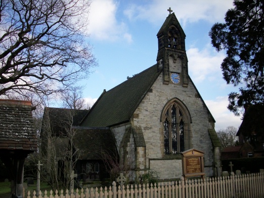
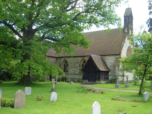
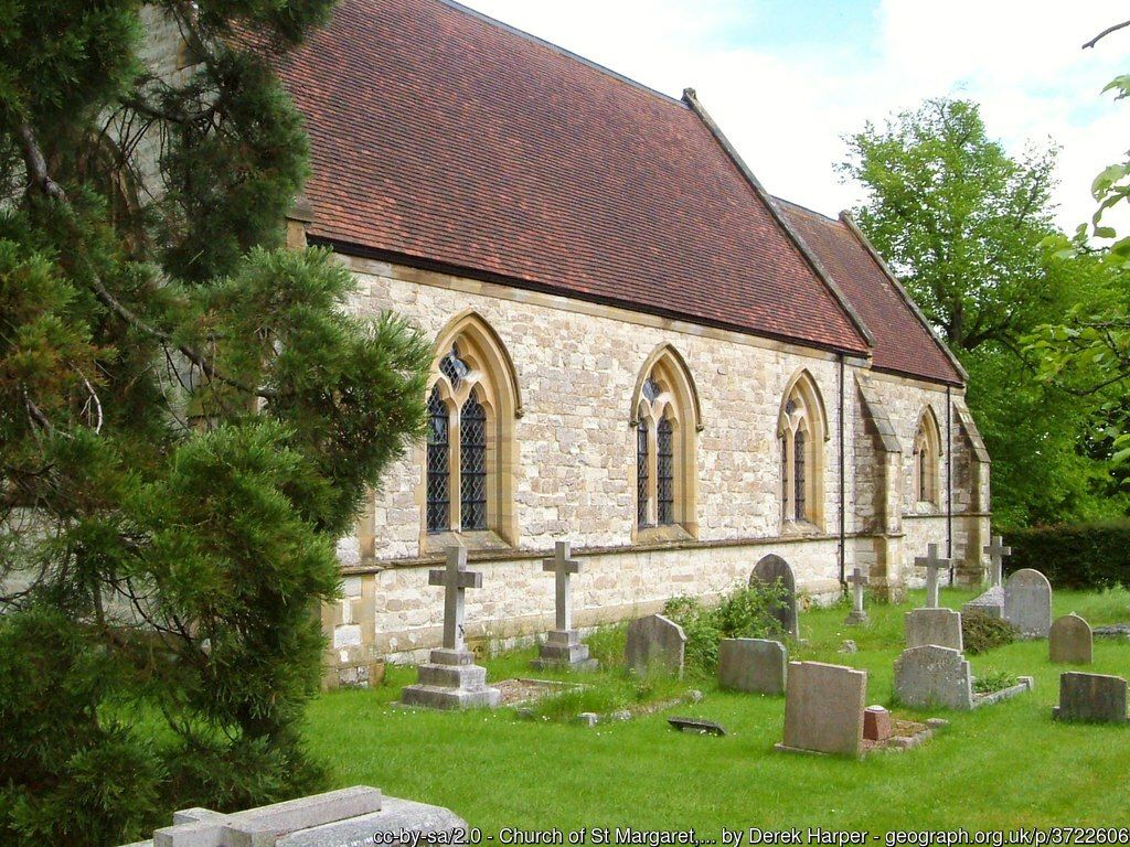
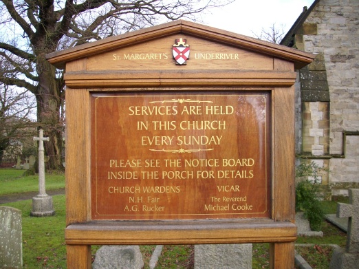
| Description | : | The church of St Margaret was built in 1867 when the parish of Underriver was carved out of the larger parish of Seal. However, it was not until 1889 that the churchyard was consecrated and the first burial took place. The churchyard surrounds the church building and includes traditional graves and an area for cremated ashes. Of the more than 300 internments that have taken place, 40% are have no marker. Underriver is a tiny village tucked away in a beautiful valley not far from the town of Sevenoaks. |
frequently asked questions (FAQ):
-
Where is St. Margaret's Churchyard?
St. Margaret's Churchyard is located at Underriver, Sevenoaks District ,Kent ,England.
-
St. Margaret's Churchyard cemetery's updated grave count on graveviews.com?
4 memorials
-
Where are the coordinates of the St. Margaret's Churchyard?
Latitude: 51.2458191
Longitude: 0.2291520
Nearby Cemetories:
1. Ightham Mote
Ightham, Tonbridge and Malling Borough, England
Coordinate: 51.2584610, 0.2695830
2. Hildenborough War Memorial
Hildenborough, Tonbridge and Malling Borough, England
Coordinate: 51.2175827, 0.2372410
3. St John the Evangelist Churchyard
Hildenborough, Tonbridge and Malling Borough, England
Coordinate: 51.2174100, 0.2391660
4. St Giles Churchyard
Shipbourne, Tonbridge and Malling Borough, England
Coordinate: 51.2471700, 0.2786090
5. St Nicholas Churchyard
Sevenoaks, Sevenoaks District, England
Coordinate: 51.2673310, 0.1933100
6. St. Lawrence Churchyard
Seal Chart, Sevenoaks District, England
Coordinate: 51.2742910, 0.2537250
7. Sevenoaks War Memorial
Sevenoaks, Sevenoaks District, England
Coordinate: 51.2761078, 0.1927860
8. Plaxtol Parish Churchyard
Plaxtol, Tonbridge and Malling Borough, England
Coordinate: 51.2593498, 0.2945710
9. Plaxtol War Memorial
Plaxtol, Tonbridge and Malling Borough, England
Coordinate: 51.2592888, 0.2948450
10. St Peter and St Paul Churchyard
Seal, Sevenoaks District, England
Coordinate: 51.2907080, 0.2223010
11. Greatness Park Cemetery
Sevenoaks, Sevenoaks District, England
Coordinate: 51.2906800, 0.2043260
12. St. Mary's Churchyard
Leigh, Sevenoaks District, England
Coordinate: 51.1977660, 0.2151510
13. Tonbridge Cemetery
Tonbridge, Tonbridge and Malling Borough, England
Coordinate: 51.2057762, 0.2772440
14. St Mary the Virgin Churchyard
Riverhead, Sevenoaks District, England
Coordinate: 51.2840040, 0.1707580
15. Tonbridge Castle
Tonbridge, Tonbridge and Malling Borough, England
Coordinate: 51.1987000, 0.2764000
16. St Peter Churchyard
Ightham, Tonbridge and Malling Borough, England
Coordinate: 51.2891680, 0.2858450
17. St Peter and St Paul Church
Tonbridge, Tonbridge and Malling Borough, England
Coordinate: 51.1977660, 0.2764630
18. St Luke Churchyard
Chiddingstone Causeway, Sevenoaks District, England
Coordinate: 51.1974910, 0.1758540
19. St Mary the Virgin Churchyard
Kemsing, Sevenoaks District, England
Coordinate: 51.3068670, 0.2310220
20. St Stephens
Tonbridge, Tonbridge and Malling Borough, England
Coordinate: 51.1893961, 0.2687135
21. St. Mary's Churchyard
Ide Hill, Sevenoaks District, England
Coordinate: 51.2454500, 0.1277900
22. Church of the Good Shepherd
Borough Green, Tonbridge and Malling Borough, England
Coordinate: 51.2910300, 0.3037660
23. Borough Green Baptist Churchyard
Borough Green, Tonbridge and Malling Borough, England
Coordinate: 51.2916540, 0.3053750
24. Holy Trinity Churchyard
Crockham Hill, Sevenoaks District, England
Coordinate: 51.1982790, 0.1538090