
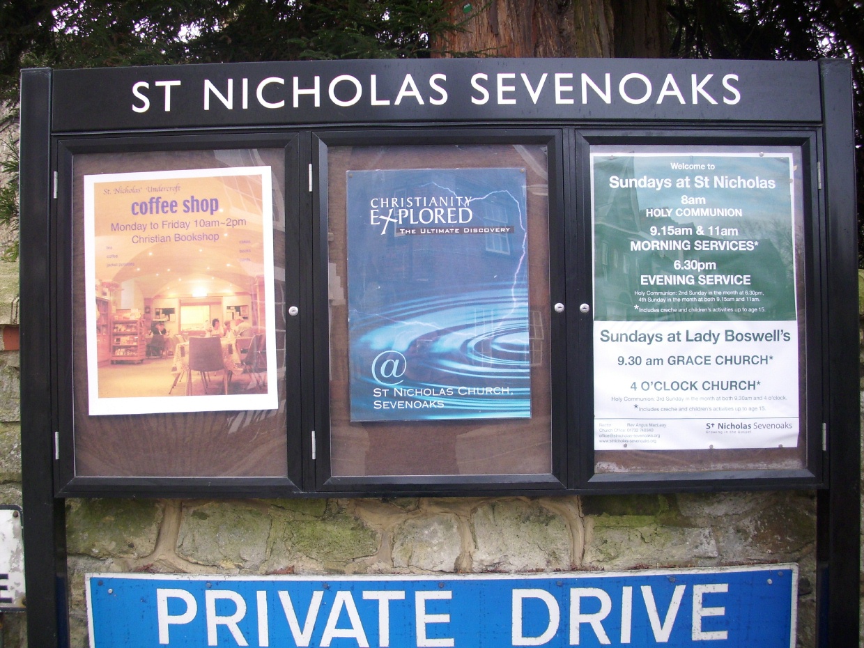
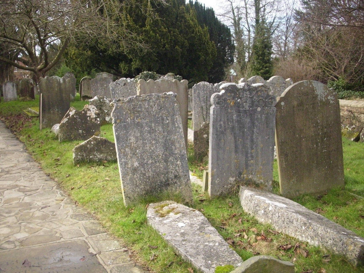
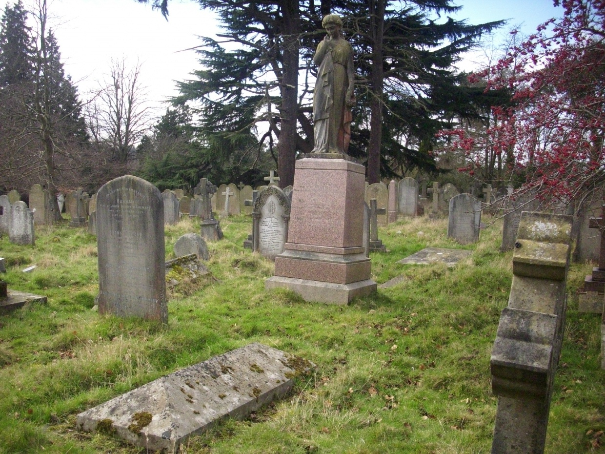
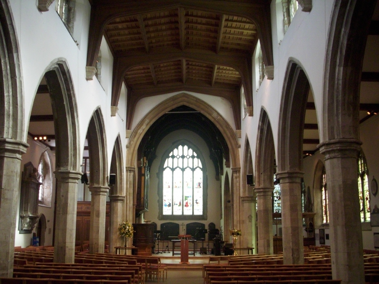
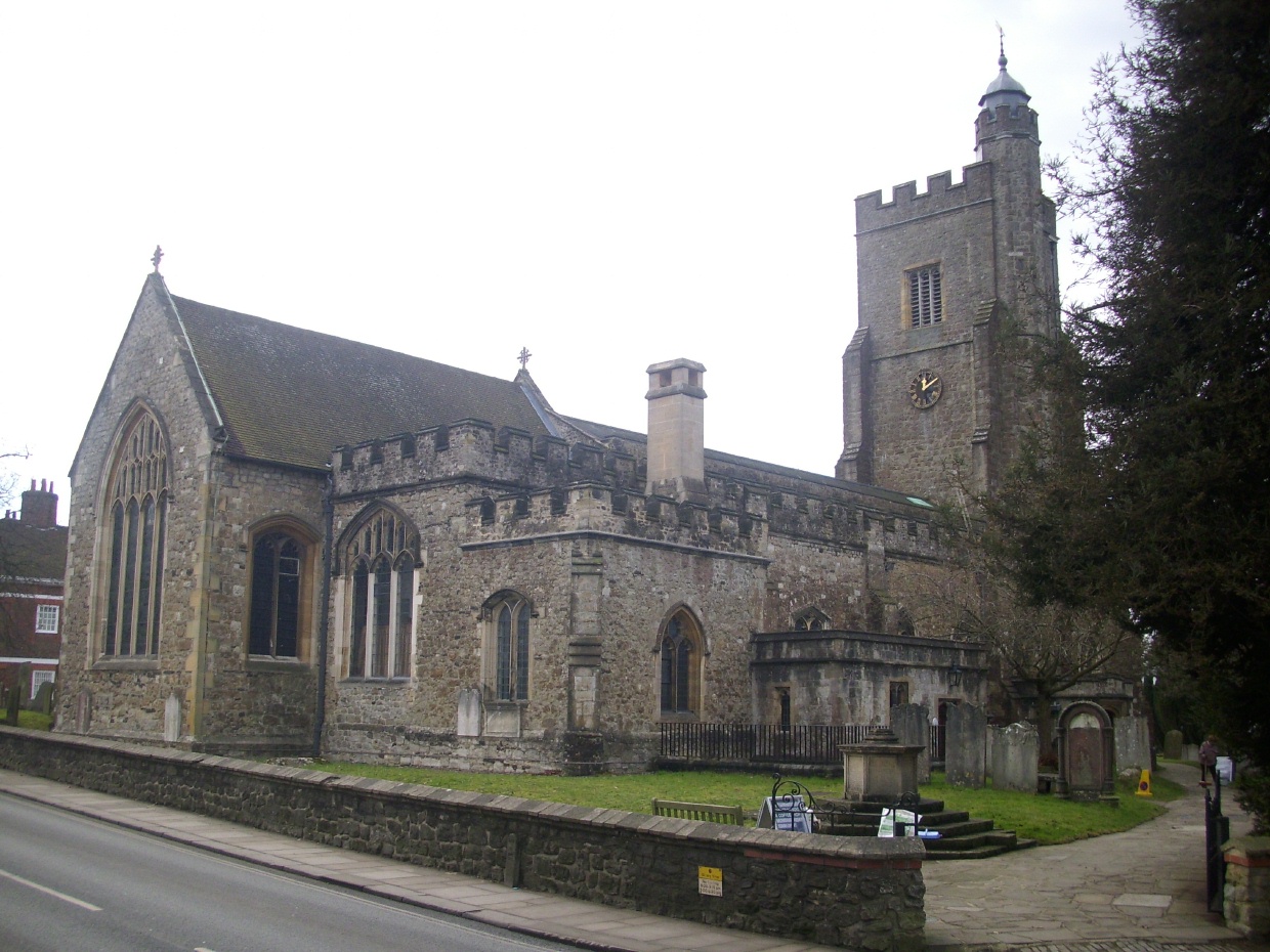
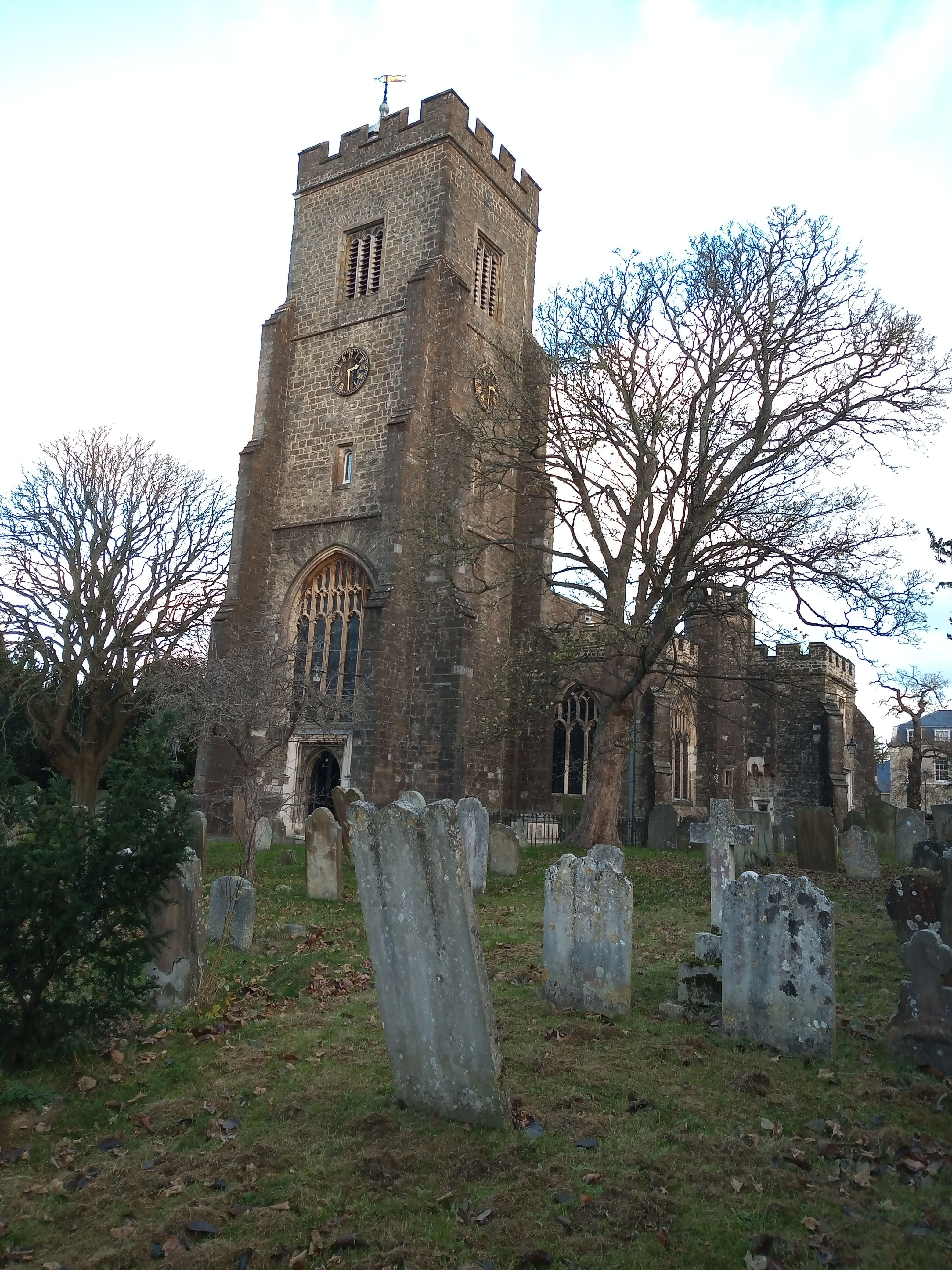
| Memorials | : | 247 |
| Location | : | Sevenoaks, Sevenoaks District, England |
| Coordinate | : | 51.2673310, 0.1933100 |
frequently asked questions (FAQ):
-
Where is St Nicholas Churchyard?
St Nicholas Churchyard is located at Sevenoaks, Sevenoaks District ,Kent ,England.
-
St Nicholas Churchyard cemetery's updated grave count on graveviews.com?
2 memorials
-
Where are the coordinates of the St Nicholas Churchyard?
Latitude: 51.2673310
Longitude: 0.1933100

Nearby Cemetories:
1. Sevenoaks War Memorial
Sevenoaks, Sevenoaks District, England
Coordinate: 51.2761078, 0.1927860
2. St Mary the Virgin Churchyard
Riverhead, Sevenoaks District, England
Coordinate: 51.2840040, 0.1707580
3. Greatness Park Cemetery
Sevenoaks, Sevenoaks District, England
Coordinate: 51.2906800, 0.2043260
4. St Peter and St Paul Churchyard
Seal, Sevenoaks District, England
Coordinate: 51.2907080, 0.2223010
5. St. Margaret's Churchyard
Underriver, Sevenoaks District, England
Coordinate: 51.2458191, 0.2291520
6. St Mary's
Dunton Green, Sevenoaks District, England
Coordinate: 51.2986100, 0.1632100
7. St. Lawrence Churchyard
Seal Chart, Sevenoaks District, England
Coordinate: 51.2742910, 0.2537250
8. St Mary Churchyard
Sundridge, Sevenoaks District, England
Coordinate: 51.2743360, 0.1292510
9. St. Bartholomew's Churchyard
Otford, Sevenoaks District, England
Coordinate: 51.3123700, 0.1916890
10. St Mary the Virgin Churchyard
Kemsing, Sevenoaks District, England
Coordinate: 51.3068670, 0.2310220
11. St. Mary's Churchyard
Ide Hill, Sevenoaks District, England
Coordinate: 51.2454500, 0.1277900
12. Chevening Parish Burial Ground
Chevening, Sevenoaks District, England
Coordinate: 51.2987450, 0.1356290
13. St Botolph Churchyard
Chevening, Sevenoaks District, England
Coordinate: 51.2987650, 0.1345180
14. Ightham Mote
Ightham, Tonbridge and Malling Borough, England
Coordinate: 51.2584610, 0.2695830
15. Hildenborough War Memorial
Hildenborough, Tonbridge and Malling Borough, England
Coordinate: 51.2175827, 0.2372410
16. St Martin Churchyard
Brasted, Sevenoaks District, England
Coordinate: 51.2794480, 0.1043810
17. St Giles Churchyard
Shipbourne, Tonbridge and Malling Borough, England
Coordinate: 51.2471700, 0.2786090
18. St John the Evangelist Churchyard
Hildenborough, Tonbridge and Malling Borough, England
Coordinate: 51.2174100, 0.2391660
19. St Peter Churchyard
Ightham, Tonbridge and Malling Borough, England
Coordinate: 51.2891680, 0.2858450
20. Plaxtol Parish Churchyard
Plaxtol, Tonbridge and Malling Borough, England
Coordinate: 51.2593498, 0.2945710
21. St Mary's Churchyard Woodlands
West Kingsdown, Sevenoaks District, England
Coordinate: 51.3233700, 0.2428600
22. Plaxtol War Memorial
Plaxtol, Tonbridge and Malling Borough, England
Coordinate: 51.2592888, 0.2948450
23. St. Peter and St. Paul's Churchyard
Shoreham, Sevenoaks District, England
Coordinate: 51.3330170, 0.1844590
24. St Katharine Churchyard
Knockholt, Sevenoaks District, England
Coordinate: 51.3105200, 0.1046060