
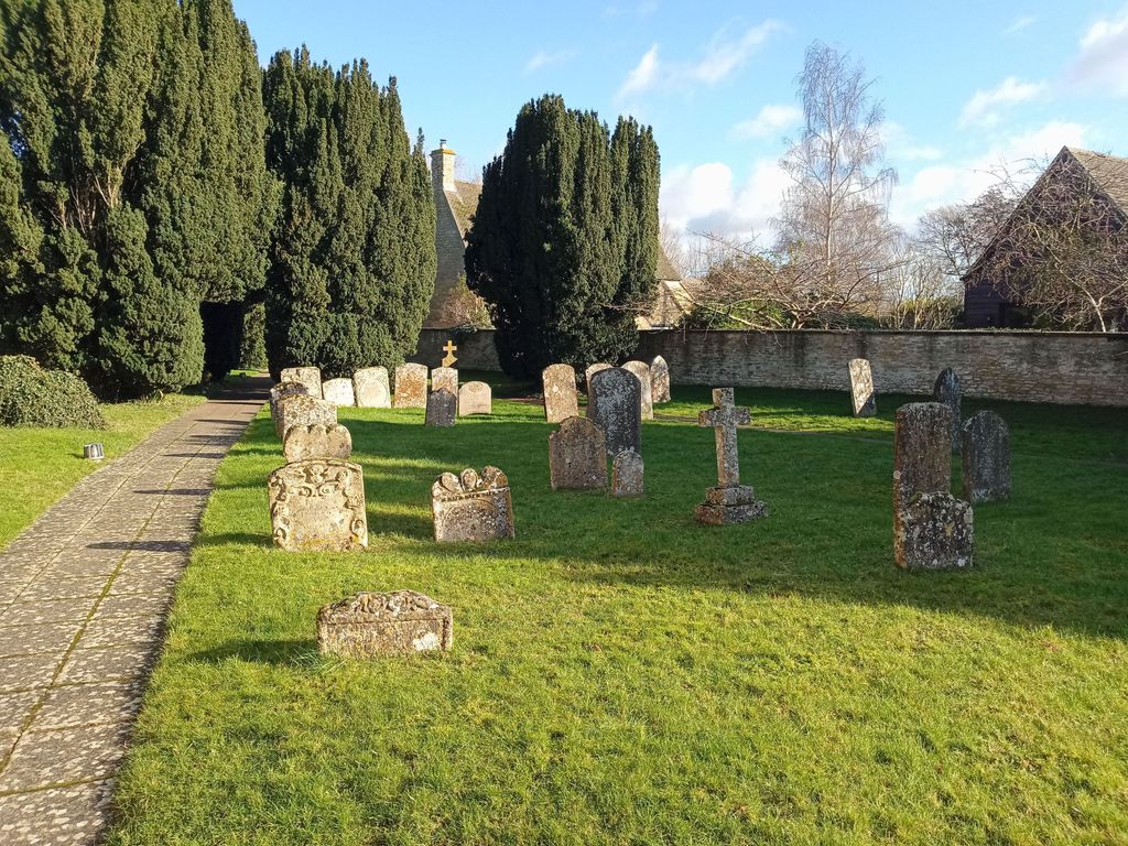
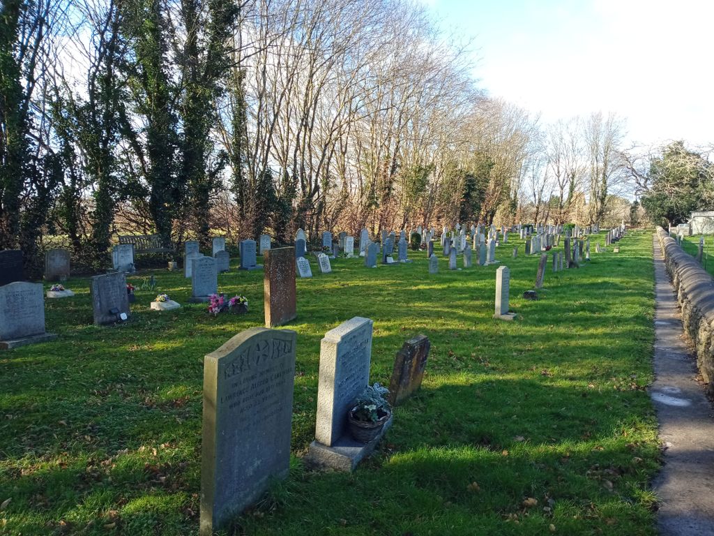
| Memorials | : | 5 |
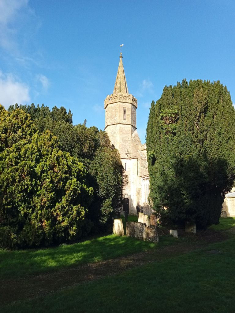
| Location | : | Standlake, West Oxfordshire District, England |
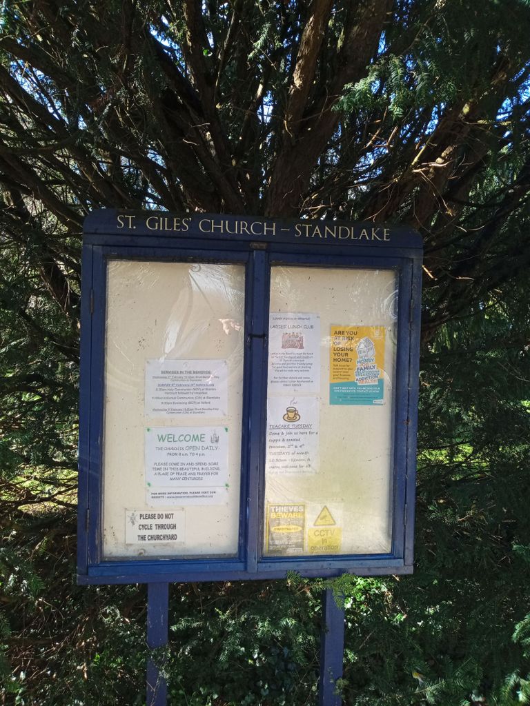
| Website | : | lowerwindrushbenefice.org/standlake-church/ |
| Coordinate | : | 51.7299550, -1.4262300 |
frequently asked questions (FAQ):
-
Where is St. Giles' Churchyard?
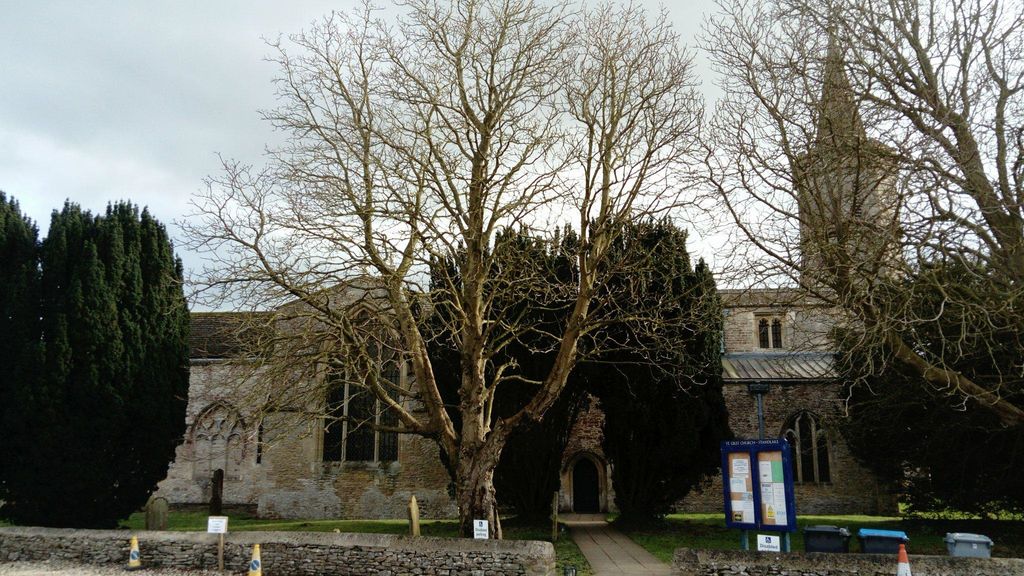
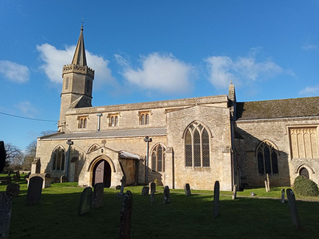
St. Giles' Churchyard is located at Horns Way Standlake, West Oxfordshire District ,Oxfordshire , OX29 7SNEngland.
-
St. Giles' Churchyard cemetery's updated grave count on graveviews.com?
5 memorials
-
Where are the coordinates of the St. Giles' Churchyard?
Latitude: 51.7299550
Longitude: -1.4262300
Nearby Cemetories:
1. St. Denys' Churchyard
Northmoor, West Oxfordshire District, England
Coordinate: 51.7230000, -1.3918000
2. St Michael's Churchyard
Stanton Harcourt, West Oxfordshire District, England
Coordinate: 51.7480000, -1.3977000
3. St Marys Churchyard
Shifford, West Oxfordshire District, England
Coordinate: 51.7151440, -1.4631340
4. Saint Mary Churchyard
Longworth, Vale of White Horse District, England
Coordinate: 51.6926577, -1.4457428
5. Cote Baptist Chapel
Cote, West Oxfordshire District, England
Coordinate: 51.7254430, -1.4929510
6. St Margaret of Antioch Churchyard Extension
Hinton Waldrist, Vale of White Horse District, England
Coordinate: 51.6911016, -1.4589705
7. St. Margaret Churchyard
Hinton Waldrist, Vale of White Horse District, England
Coordinate: 51.6894380, -1.4587200
8. St Laurence Church
Appleton, Vale of White Horse District, England
Coordinate: 51.7110290, -1.3588780
9. St. James the Great Churchyard
South Leigh, West Oxfordshire District, England
Coordinate: 51.7781050, -1.4298950
10. St. John the Baptist Churchyard
Kingston Bagpuize, Vale of White Horse District, England
Coordinate: 51.6820690, -1.4127410
11. St Nicholas Churchyard
Fyfield, Vale of White Horse District, England
Coordinate: 51.6871100, -1.3888600
12. St. Bartholomew Churchyard
Ducklington, West Oxfordshire District, England
Coordinate: 51.7658689, -1.4810340
13. St. James the Great Churchyard
Aston, West Oxfordshire District, England
Coordinate: 51.7252620, -1.5059510
14. St. Lawrence Churchyard
Tubney, Vale of White Horse District, England
Coordinate: 51.6903100, -1.3712600
15. Saint Lawrence Churchyard
Bessels Leigh, Vale of White Horse District, England
Coordinate: 51.7065220, -1.3409750
16. St Michael Churchyard
Cumnor, Vale of White Horse District, England
Coordinate: 51.7340384, -1.3331002
17. Eynsham Abbey
Eynsham, West Oxfordshire District, England
Coordinate: 51.7786110, -1.3738890
18. St Leonard Churchyard
Eynsham, West Oxfordshire District, England
Coordinate: 51.7799470, -1.3738080
19. Eynsham War Memorial
Eynsham, West Oxfordshire District, England
Coordinate: 51.7801562, -1.3736687
20. St. Mary's Churchyard
Witney, West Oxfordshire District, England
Coordinate: 51.7807116, -1.4850508
21. St Mary Churchyard
Cogges, West Oxfordshire District, England
Coordinate: 51.7839280, -1.4782010
22. St Mary Churchyard
Buckland, Vale of White Horse District, England
Coordinate: 51.6819730, -1.5060150
23. St. Helen Churchyard
Dry Sandford, Vale of White Horse District, England
Coordinate: 51.7003000, -1.3247100
24. Woodgreen (Holy Trinity) Churchyard
West Oxfordshire District, England
Coordinate: 51.7918400, -1.4793500