
| Memorials | : | 245 |
| Location | : | Horsmonden, Tunbridge Wells Borough, England |
| Coordinate | : | 51.1169060, 0.4329730 |
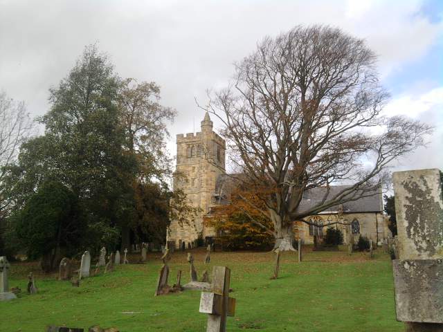
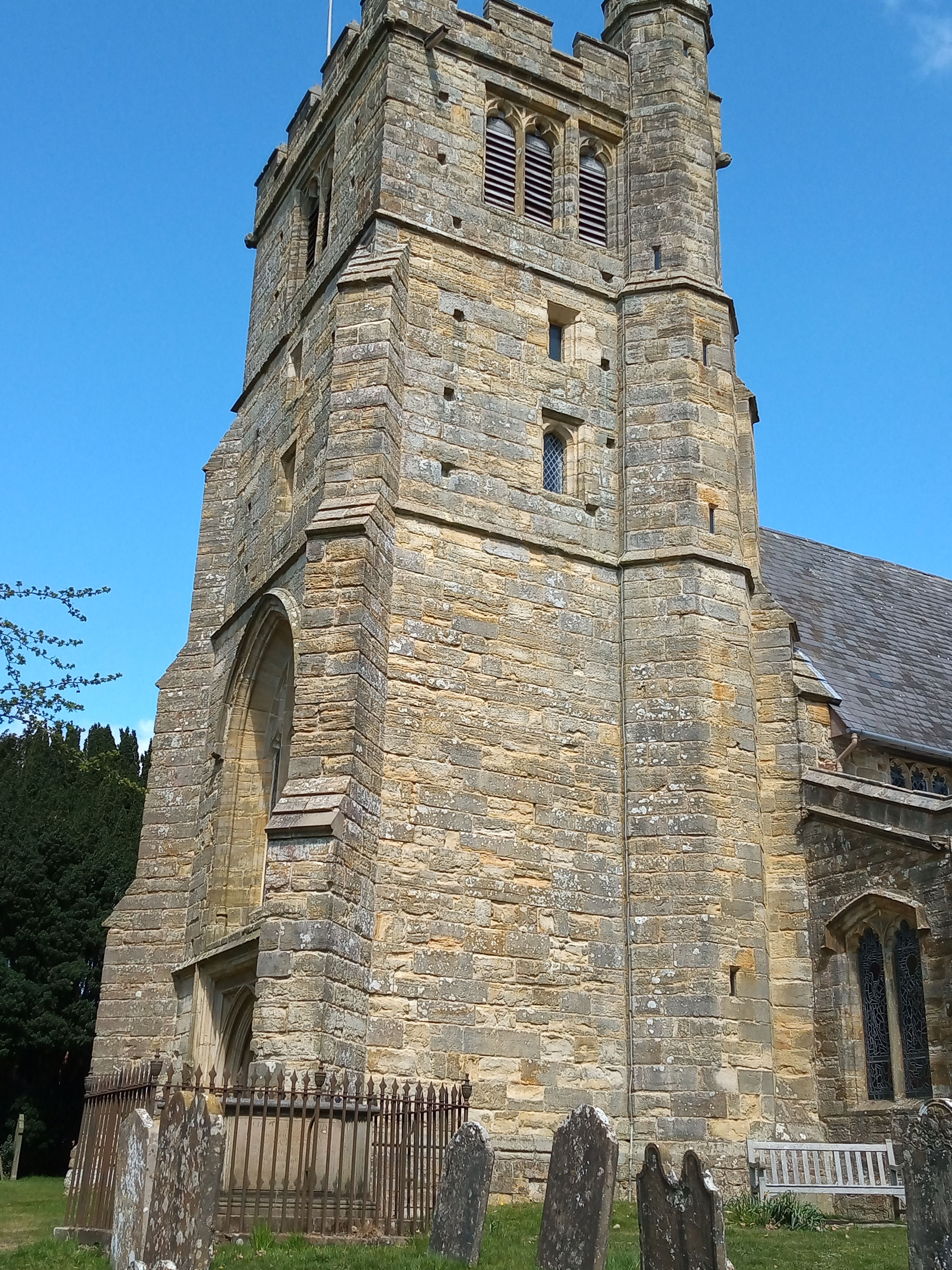
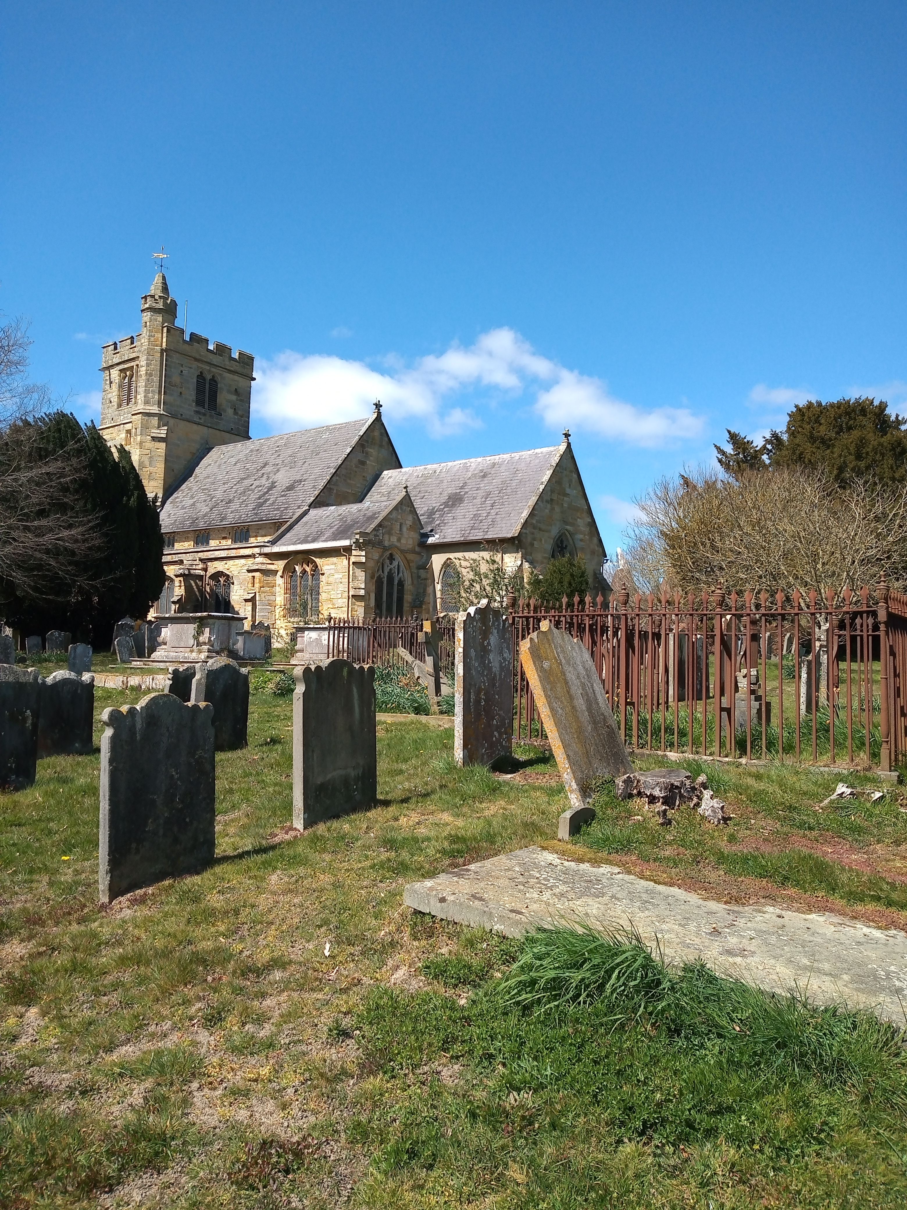
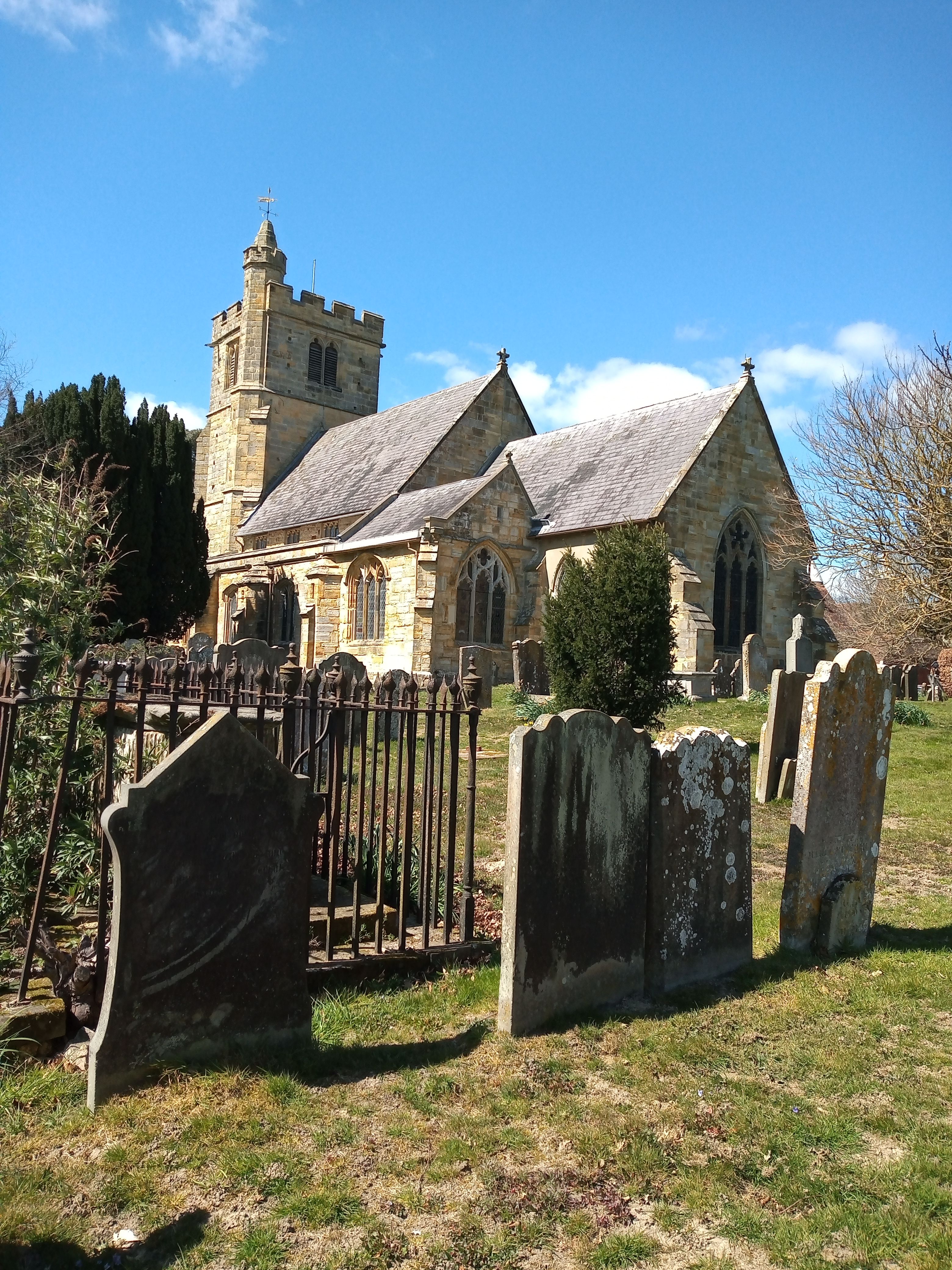
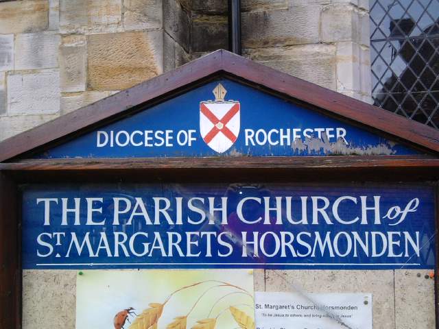
| Description | : | Horsmonden (stressed on the last syllable) is a village in Kent, on the Weald. It is situated on a road leading from Maidstone to Lamberhurst, three miles north of the latter place. The nearest railway station is Paddock Wood, Horsmonden railway station having closed in 1961 The village church, St Margarets, is located some miles away from the centre toward Goudhurst. (Text by wertypop) |
frequently asked questions (FAQ):
-
Where is St Margarets Churchyard?
St Margarets Churchyard is located at Brick Kiln Lane Horsmonden, Tunbridge Wells Borough ,Kent ,England.
-
St Margarets Churchyard cemetery's updated grave count on graveviews.com?
245 memorials
-
Where are the coordinates of the St Margarets Churchyard?
Latitude: 51.1169060
Longitude: 0.4329730
Nearby Cemetories:
1. Goudhurst War Memorial
Goudhurst, Tunbridge Wells Borough, England
Coordinate: 51.1129960, 0.4586850
2. St. Mary the Virgin Churchyard
Goudhurst, Tunbridge Wells Borough, England
Coordinate: 51.1136160, 0.4609480
3. Goudhurst Cemetery
Goudhurst, Tunbridge Wells Borough, England
Coordinate: 51.1134210, 0.4624930
4. St Mary the Virgin Churchyard
Lamberhurst, Tunbridge Wells Borough, England
Coordinate: 51.1040459, 0.4012690
5. Christ Church Churchyard
Kilndown, Tunbridge Wells Borough, England
Coordinate: 51.0907820, 0.4269340
6. All Saints Churchyard
Brenchley, Tunbridge Wells Borough, England
Coordinate: 51.1504200, 0.4001200
7. St. Luke's Churchyard
Matfield, Tunbridge Wells Borough, England
Coordinate: 51.1426588, 0.3626785
8. Bayham Old Abbey
Lamberhurst, Tunbridge Wells Borough, England
Coordinate: 51.1032690, 0.3541800
9. Paddock Wood New Cemetery
Paddock Wood, Tunbridge Wells Borough, England
Coordinate: 51.1761499, 0.3980419
10. Saint Augustine's Churchyard
Flimwell, Rother District, England
Coordinate: 51.0514170, 0.4580350
11. Marden Congregational Church
Marden, Maidstone Borough, England
Coordinate: 51.1745670, 0.4897280
12. St Dunstan's Churchyard
Cranbrook, Tunbridge Wells Borough, England
Coordinate: 51.0973030, 0.5363690
13. St. Andrew's Old Churchyard
Paddock Wood, Tunbridge Wells Borough, England
Coordinate: 51.1799720, 0.3923060
14. St. Michael and All Angels Churchyard
Marden, Maidstone Borough, England
Coordinate: 51.1743202, 0.4931720
15. St David's Bridge Strict Baptist Chapel
Cranbrook, Tunbridge Wells Borough, England
Coordinate: 51.0953430, 0.5378980
16. St. Margaret's Churchyard
Collier Street, Maidstone Borough, England
Coordinate: 51.1877010, 0.4555280
17. St. Mary's Churchyard
Ticehurst, Rother District, England
Coordinate: 51.0454030, 0.4077110
18. Pembury Burial Ground
Pembury, Tunbridge Wells Borough, England
Coordinate: 51.1416270, 0.3229290
19. St Peter's New Churchyard
Pembury, Tunbridge Wells Borough, England
Coordinate: 51.1506200, 0.3269600
20. Cranbrook Cemetery
Cranbrook, Tunbridge Wells Borough, England
Coordinate: 51.0962250, 0.5541360
21. St. Peter & St. Paul Churchyard
Wadhurst, Wealden District, England
Coordinate: 51.0626960, 0.3400690
22. Marden Cemetery
Marden, Maidstone Borough, England
Coordinate: 51.1882744, 0.4894070
23. Sissinghurst Cemetery
Sissinghurst, Tunbridge Wells Borough, England
Coordinate: 51.1095310, 0.5629240
24. Old Churchyard of St Peter
Pembury, Tunbridge Wells Borough, England
Coordinate: 51.1629330, 0.3241620