
| Memorials | : | 65 |
| Location | : | Kilndown, Tunbridge Wells Borough, England |
| Coordinate | : | 51.0907820, 0.4269340 |
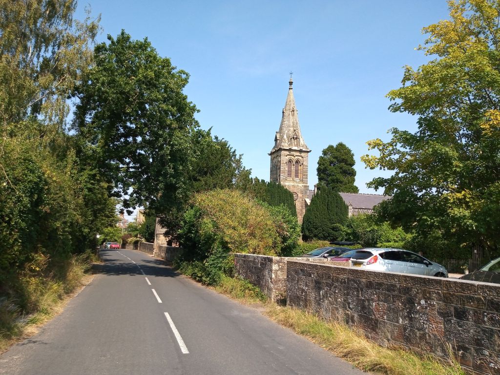
| Description | : | Description: Kilndown is located one mile from the A21 London to Hastings road, about 3 miles from Goudhurst to the north, and about 4 miles from Lamberhurst to the west. |
frequently asked questions (FAQ):
-
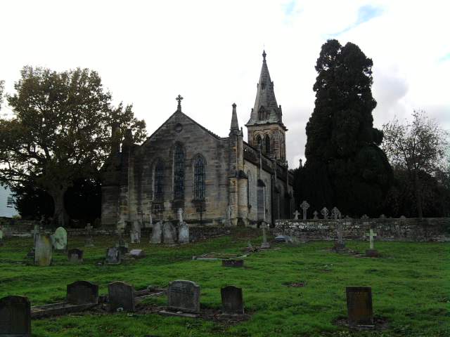
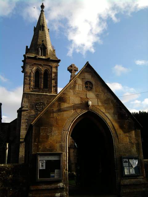
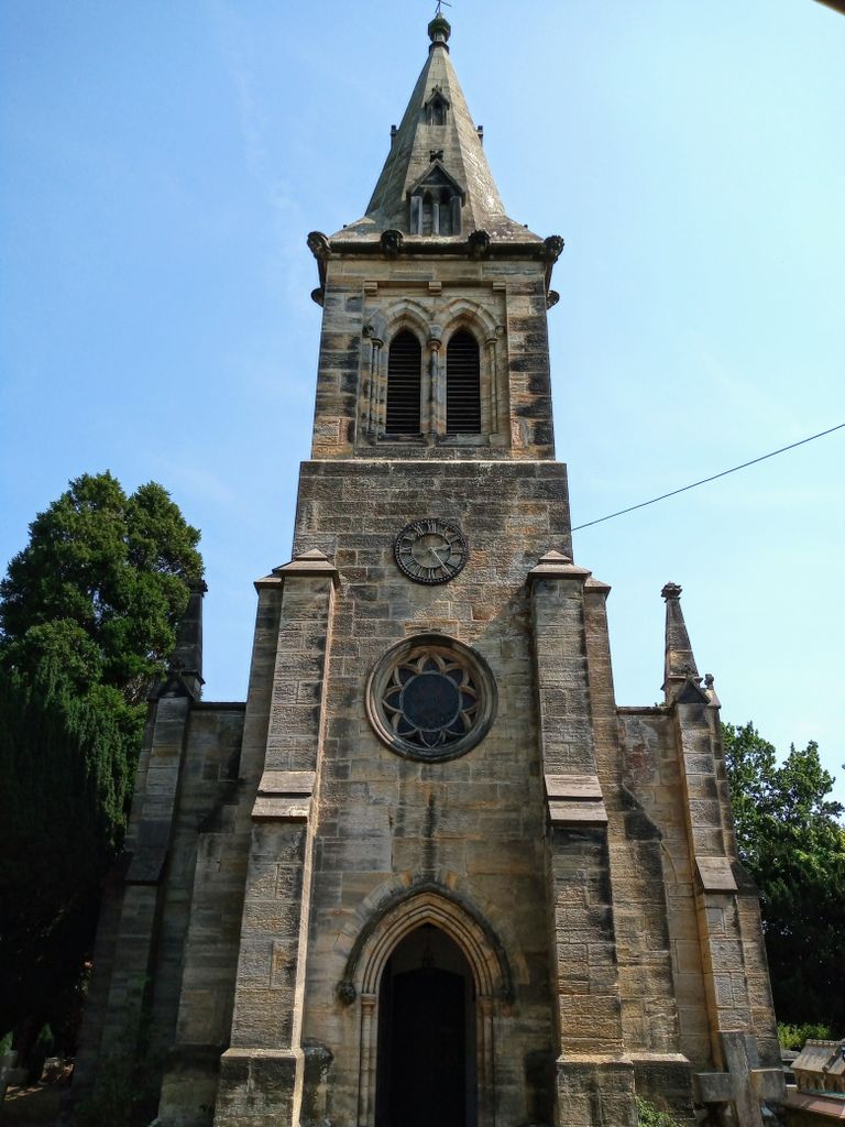
Where is Christ Church Churchyard?
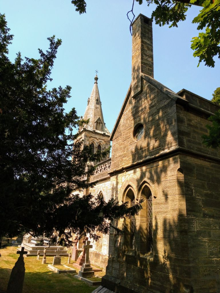
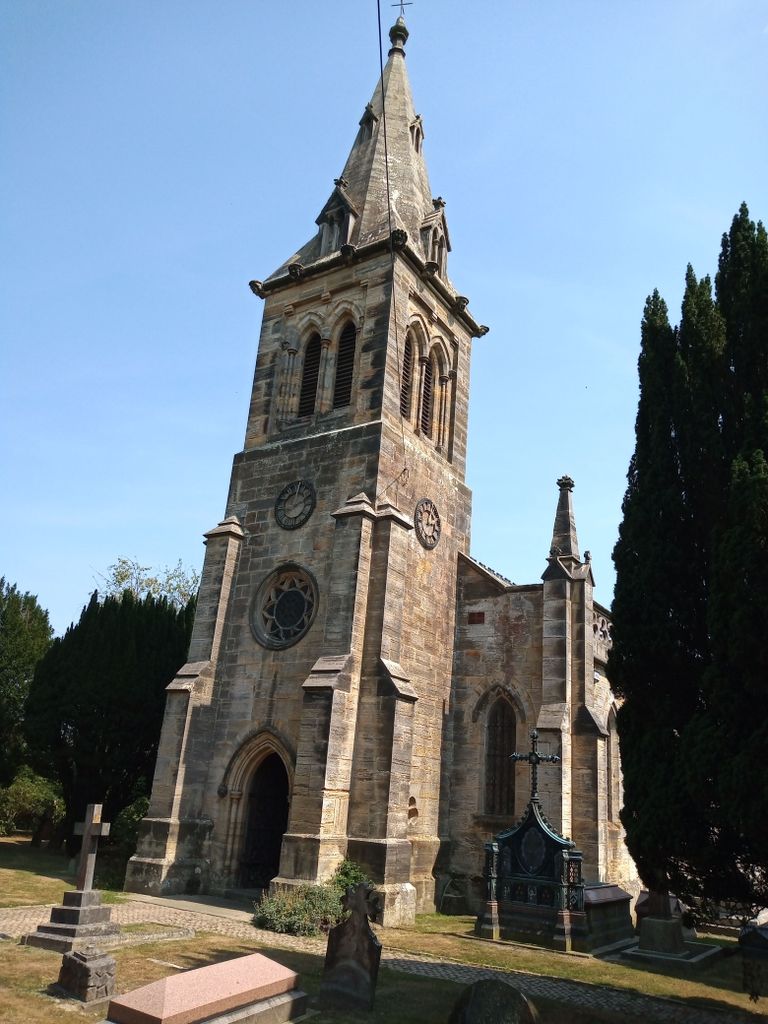
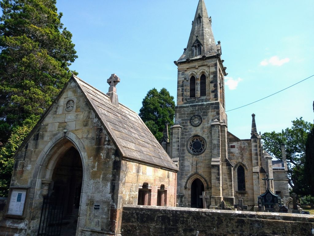
Christ Church Churchyard is located at Church Road Kilndown, Tunbridge Wells Borough ,Kent ,England.
-
Christ Church Churchyard cemetery's updated grave count on graveviews.com?
65 memorials
-
Where are the coordinates of the Christ Church Churchyard?
Latitude: 51.0907820
Longitude: 0.4269340
Nearby Cemetories:
1. St Mary the Virgin Churchyard
Lamberhurst, Tunbridge Wells Borough, England
Coordinate: 51.1040459, 0.4012690
2. St Margarets Churchyard
Horsmonden, Tunbridge Wells Borough, England
Coordinate: 51.1169060, 0.4329730
3. Goudhurst War Memorial
Goudhurst, Tunbridge Wells Borough, England
Coordinate: 51.1129960, 0.4586850
4. St. Mary the Virgin Churchyard
Goudhurst, Tunbridge Wells Borough, England
Coordinate: 51.1136160, 0.4609480
5. Goudhurst Cemetery
Goudhurst, Tunbridge Wells Borough, England
Coordinate: 51.1134210, 0.4624930
6. Saint Augustine's Churchyard
Flimwell, Rother District, England
Coordinate: 51.0514170, 0.4580350
7. St. Mary's Churchyard
Ticehurst, Rother District, England
Coordinate: 51.0454030, 0.4077110
8. Bayham Old Abbey
Lamberhurst, Tunbridge Wells Borough, England
Coordinate: 51.1032690, 0.3541800
9. St. Peter & St. Paul Churchyard
Wadhurst, Wealden District, England
Coordinate: 51.0626960, 0.3400690
10. All Saints Churchyard
Brenchley, Tunbridge Wells Borough, England
Coordinate: 51.1504200, 0.4001200
11. St. Luke's Churchyard
Matfield, Tunbridge Wells Borough, England
Coordinate: 51.1426588, 0.3626785
12. St. Peter's Churchyard
Stonegate, Rother District, England
Coordinate: 51.0303090, 0.3747690
13. St Dunstan's Churchyard
Cranbrook, Tunbridge Wells Borough, England
Coordinate: 51.0973030, 0.5363690
14. St David's Bridge Strict Baptist Chapel
Cranbrook, Tunbridge Wells Borough, England
Coordinate: 51.0953430, 0.5378980
15. St. Laurence Churchyard
Hawkhurst, Tunbridge Wells Borough, England
Coordinate: 51.0377240, 0.5031610
16. Holy Trinity Churchyard
Hurst Green, Rother District, England
Coordinate: 51.0201400, 0.4691080
17. Hawkhurst Cemetery
Hawkhurst, Tunbridge Wells Borough, England
Coordinate: 51.0302300, 0.5051300
18. Cranbrook Cemetery
Cranbrook, Tunbridge Wells Borough, England
Coordinate: 51.0962250, 0.5541360
19. Assumption of Blessed Mary & St. Nicholas Church
Etchingham, Rother District, England
Coordinate: 51.0095830, 0.4416420
20. Pembury Burial Ground
Pembury, Tunbridge Wells Borough, England
Coordinate: 51.1416270, 0.3229290
21. St Peter's New Churchyard
Pembury, Tunbridge Wells Borough, England
Coordinate: 51.1506200, 0.3269600
22. Paddock Wood New Cemetery
Paddock Wood, Tunbridge Wells Borough, England
Coordinate: 51.1761499, 0.3980419
23. Sissinghurst Cemetery
Sissinghurst, Tunbridge Wells Borough, England
Coordinate: 51.1095310, 0.5629240
24. Tidebrook Churchyard
Wadhurst, Wealden District, England
Coordinate: 51.0467700, 0.3013730