
| Memorials | : | 1 |
| Location | : | West Kingsdown, Sevenoaks District, England |
| Coordinate | : | 51.3233700, 0.2428600 |
frequently asked questions (FAQ):
-
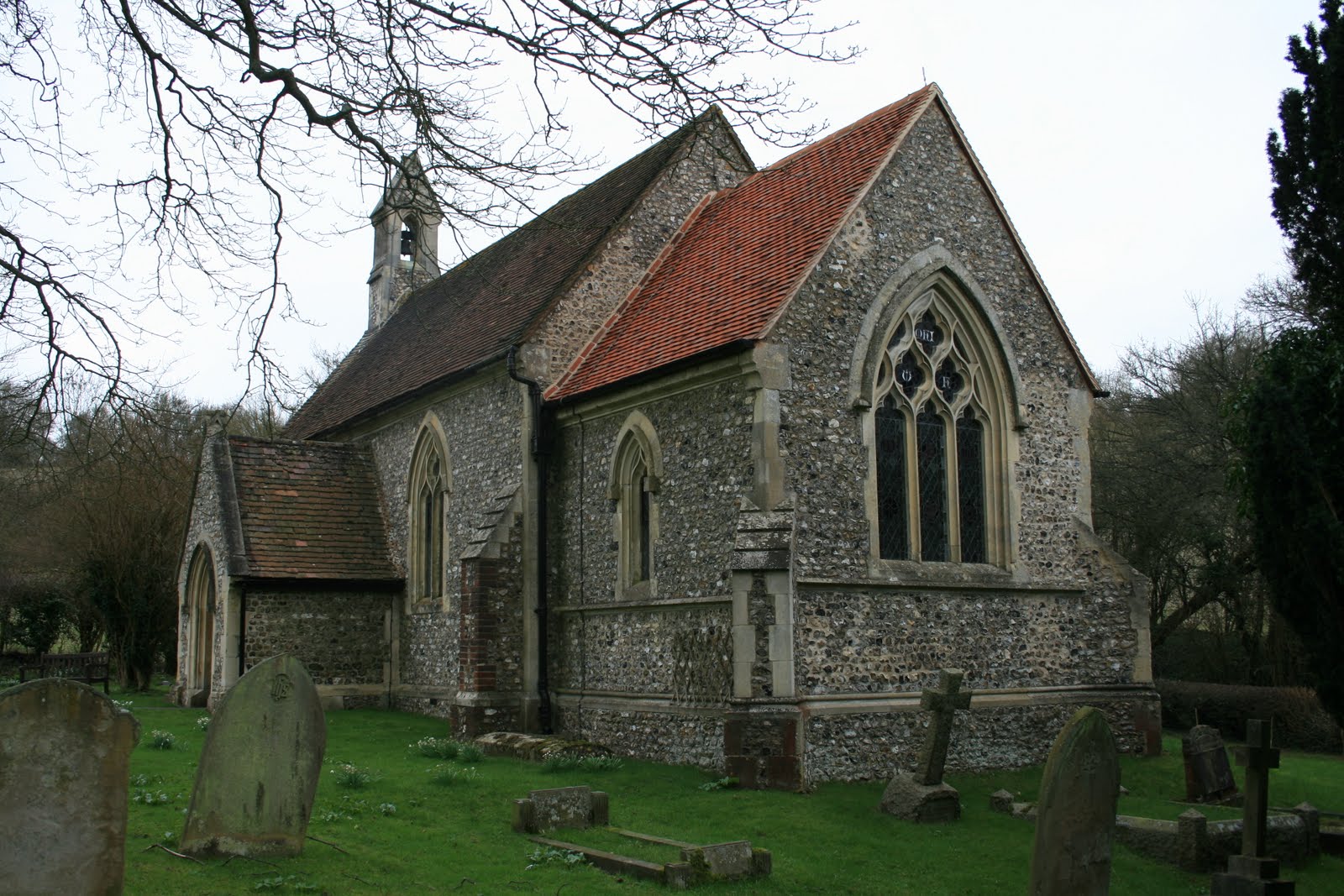
Where is St Mary's Churchyard Woodlands?
St Mary's Churchyard Woodlands is located at Tinkerpot Lane West Kingsdown, Sevenoaks District ,Kent , TN15 6AFEngland.
-
St Mary's Churchyard Woodlands cemetery's updated grave count on graveviews.com?
1 memorials
-
Where are the coordinates of the St Mary's Churchyard Woodlands?
Latitude: 51.3233700
Longitude: 0.2428600
Nearby Cemetories:
1. St Mary the Virgin Churchyard
Kemsing, Sevenoaks District, England
Coordinate: 51.3068670, 0.2310220
2. St. Bartholomew's Churchyard
Otford, Sevenoaks District, England
Coordinate: 51.3123700, 0.1916890
3. St Peter and St Paul Churchyard
Seal, Sevenoaks District, England
Coordinate: 51.2907080, 0.2223010
4. St. Peter and St. Paul's Churchyard
Shoreham, Sevenoaks District, England
Coordinate: 51.3330170, 0.1844590
5. Greatness Park Cemetery
Sevenoaks, Sevenoaks District, England
Coordinate: 51.2906800, 0.2043260
6. St Mary the Virgin Churchyard
Stansted, Tonbridge and Malling Borough, England
Coordinate: 51.3355120, 0.3060170
7. St Peter Churchyard
Ightham, Tonbridge and Malling Borough, England
Coordinate: 51.2891680, 0.2858450
8. Wrotham Cemetery
Wrotham, Tonbridge and Malling Borough, England
Coordinate: 51.3099430, 0.3108890
9. St George Churchyard
Wrotham, Tonbridge and Malling Borough, England
Coordinate: 51.3088360, 0.3110130
10. St Martin Churchyard
Eynsford, Sevenoaks District, England
Coordinate: 51.3675308, 0.2112560
11. Eynsford War Memorial
Eynsford, Sevenoaks District, England
Coordinate: 51.3685875, 0.2135230
12. St Peter and St Paul Churchyard
Ash, Sevenoaks District, England
Coordinate: 51.3575990, 0.2989910
13. St. Lawrence Churchyard
Seal Chart, Sevenoaks District, England
Coordinate: 51.2742910, 0.2537250
14. Christian Fellowship Baptist Churchyard
Eynsford, Sevenoaks District, England
Coordinate: 51.3697548, 0.2145360
15. OMF International UK
Borough Green, Tonbridge and Malling Borough, England
Coordinate: 51.2937286, 0.3066902
16. Church of the Good Shepherd
Borough Green, Tonbridge and Malling Borough, England
Coordinate: 51.2910300, 0.3037660
17. Borough Green Baptist Churchyard
Borough Green, Tonbridge and Malling Borough, England
Coordinate: 51.2916540, 0.3053750
18. St Mary's
Dunton Green, Sevenoaks District, England
Coordinate: 51.2986100, 0.1632100
19. Sevenoaks War Memorial
Sevenoaks, Sevenoaks District, England
Coordinate: 51.2761078, 0.1927860
20. St Peter and St Paul Churchyard
Farningham, Sevenoaks District, England
Coordinate: 51.3803177, 0.2217920
21. St Mary the Virgin Churchyard
Riverhead, Sevenoaks District, England
Coordinate: 51.2840040, 0.1707580
22. St Mary the Virgin Churchyard
Platt, Tonbridge and Malling Borough, England
Coordinate: 51.2892070, 0.3252260
23. St Nicholas Churchyard
Sevenoaks, Sevenoaks District, England
Coordinate: 51.2673310, 0.1933100
24. Bluebell Cemetery
Halstead, Sevenoaks District, England
Coordinate: 51.3409718, 0.1409984